A Long Wait
A year prior to my Sky Safari to Oologah, Oklahoma, I read an article discussing the annual Fly-In there. It described the huge turnout for the event and that it had happened the weekend before I read about it. So, I missed it – again. I had heard about the Oologah Fly-In for years but always after it had occurred. Finally I made it a top priority to fly there for the 2014 rendition. I put a note in my “2014 Events” folder to do just that. As the time drew near, I checked on the Internet to see if it was still “on“. I found a web article posted by an Oklahoma newspaper talking up The Fly-In which would be the next Saturday. Excellent! Finally, I would get to this monumental event. Upwards of 200 airplanes were expected. Coming all the way from Wichita, there would be little doubt I would be the “Farthest Flying Ultralight” there. That was sure to generate a lot of buzz. Celebrity status was just around the corner for The Sky Surfer. Visions of Great Fame filled his head and, after all, Oologah is home to one of the most famous aviators in history.
Movie Star, Writer, Vaudeville Star, Humorist, Political Satirist, Syndicated Columnist, Radio Personality, Friend of Presidents, Aviation Pioneer
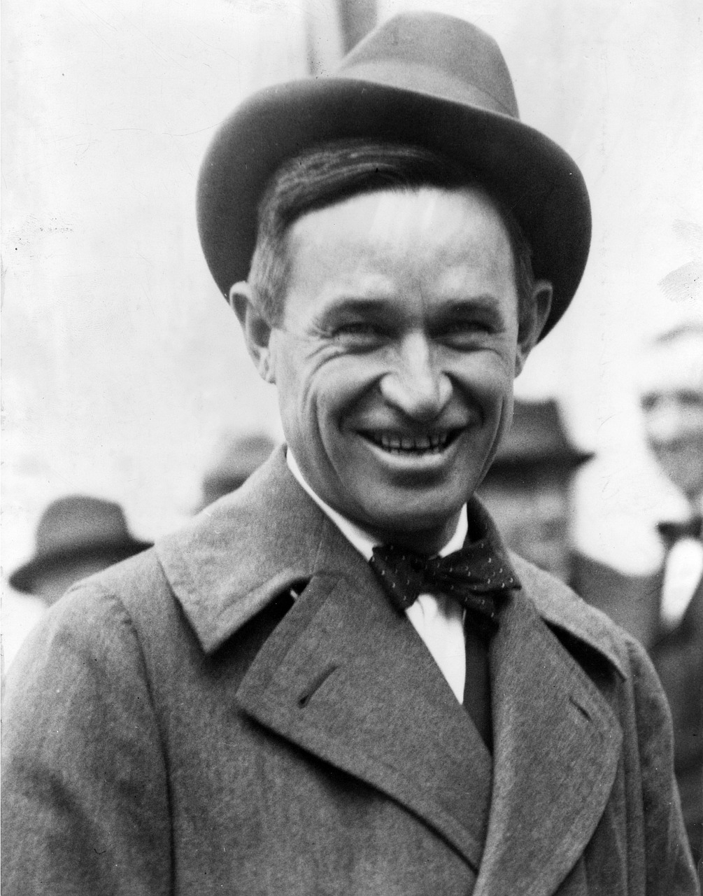
The Great Will Rogers
Will Rogers was born in Oologah. Known as “The Cherokee Kid“, “Good Will Ambassador” and “The Most Dangerous Writer Alive“, Will Rogers was arguably The Most Famous Man in America during the 1920’s and the first half of the 30’s. If ever there was “a Man for The Times“, it was Will Rogers. He spoke for the “Everyman” who had no voice. He knew their hearts and spoke to power on their behalf. Loved by all but feared by the mighty, Will’s most famous utterance was “I never met a man I didn’t like“.
Will helped legitimize aviation at a time when it was struggling to become a serious business in an era when it was written off as a barnstorming, sideshow act. He was one of the first to realize the “time machine” quality of aircraft. During his career he would criss-cross the continent by air many times to various engagements. He also flew overseas to many nations’ capitols and other exotic locations spreading his Homespun American Charm wherever he went.
I remember seeing old films starring Will and innumerable news reel cuts of him throwing off his inimitable “one liners” in the effortless manner of the Oklahoma Cowpoke he was. Like fellow Oklahoman Ben Johnson (read about my visit to his home ground HERE), he was a guy you just couldn’t help but like. An American Original. On the Will Rogers Museums website is probably the finest tribute given to Rogers. Written by Another Great American, Gene Autry, it is well worth your time to read. You can find it HERE.
A Brush With Greatness
A few years back, an on-going gag on various radio and TV shows would be a call-in segment where folks would relate a moment when by chance they came into contact with a bona fide “Famous Person”. The stories would follow the line of, “I was in the canned goods aisle of the grocery when a lady dropped a can of peas. I stepped over to pick it up for her and when our eyes met I realized it was Beyoncé. She said, “Thanks!” and I replied, “You’re welcome”. Then she walked away…”
My 2014 Brush With Greatness would be landing my Ultralight on Will Roger’s Home Field in the company of hundreds of other flyers there for The Annual Dog Iron Ranch Fly-In.
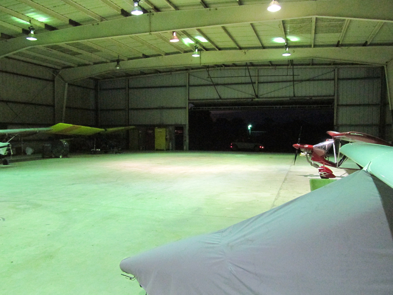
It was “zero dark thirty” when I arrived at Blue Sky Aerodrome. I decided to turn on the hangar lights for a change and snapped this shot from the far end of the building. You can see my Quicksilver at the far left and the lights of my Mini Cooper outside the hangar door.
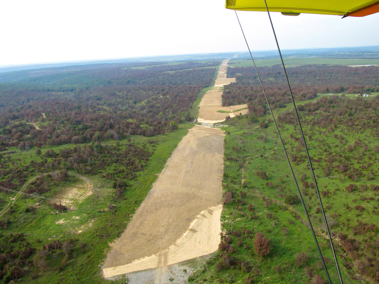
Quick Turnaround
The flight to Oologah was to be my longest one yet – 116 miles. After parking my car I rolled the Quicksilver out. The previous evening I had preflighted the plane and topped off the gas. Once I was sure I had all my necessary items, I started the motor and hit the sky.
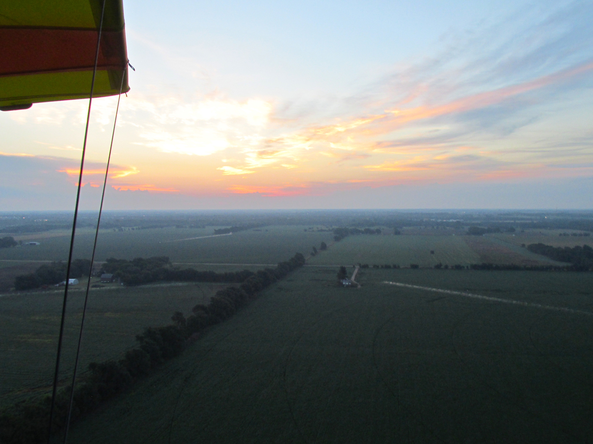
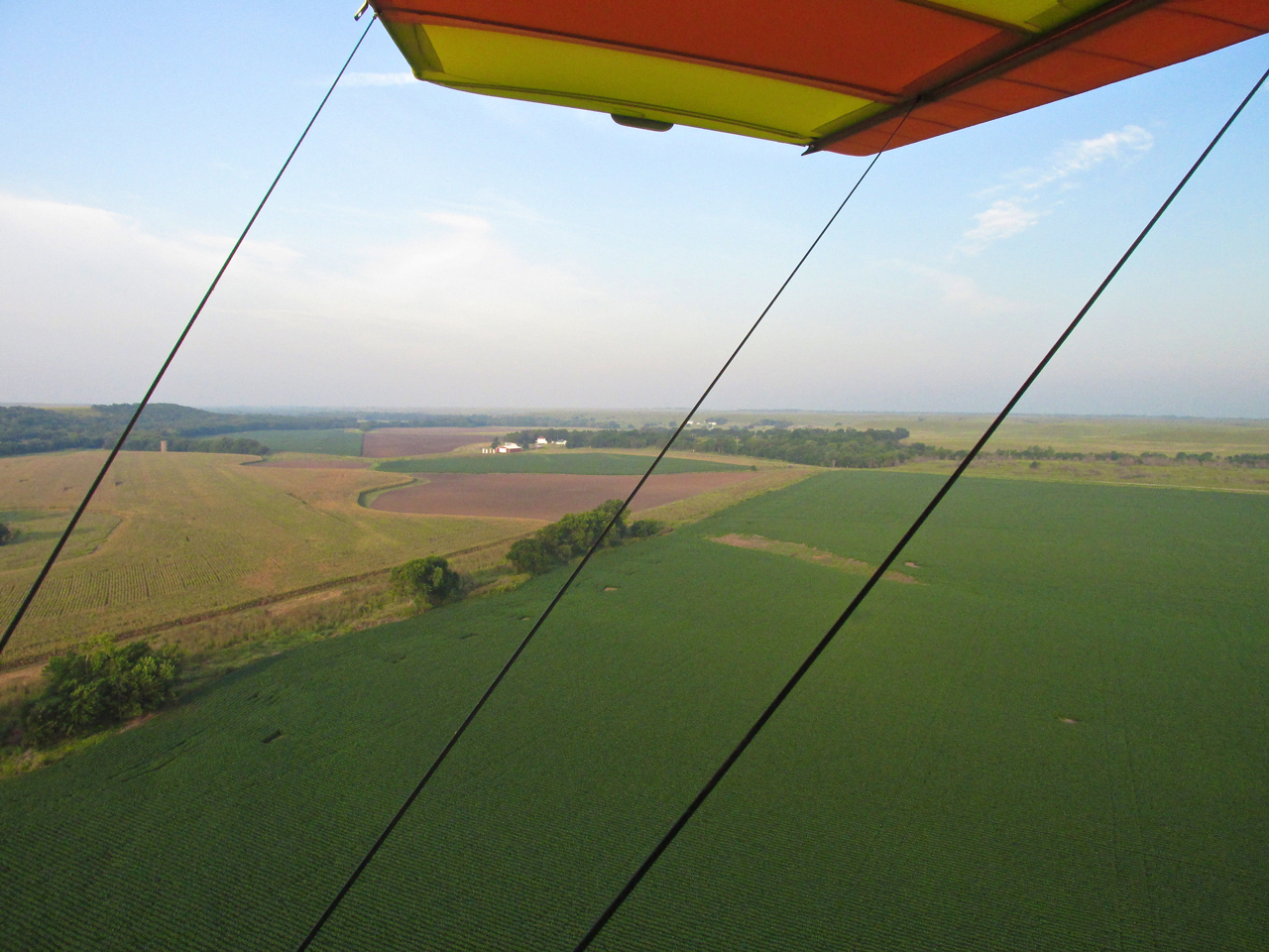
The rising sun catches me heading Southeast in pleasant, shirt sleeve temperatures.
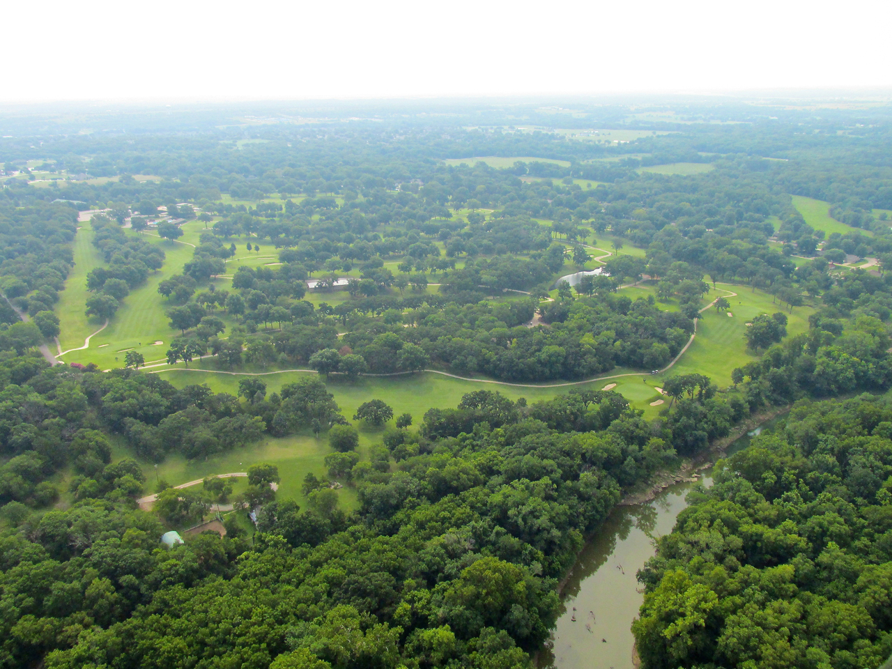
Items Of Interest
If you have read any of my Sky Safari stories, you know I am constantly on the lookout for interesting photo subjects. After passing the Winfield, Kansas area, I saw ahead a number of cylindrical objects strewn about a small field. I dropped down close to the surface to investigate. It was an Oil Service Company’s holding area complete with tanks, trucks and pump jacks.
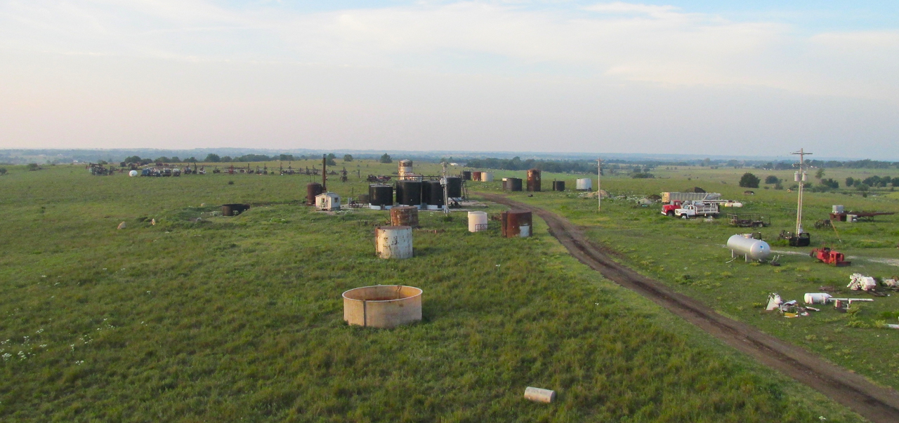
Oilfield Items
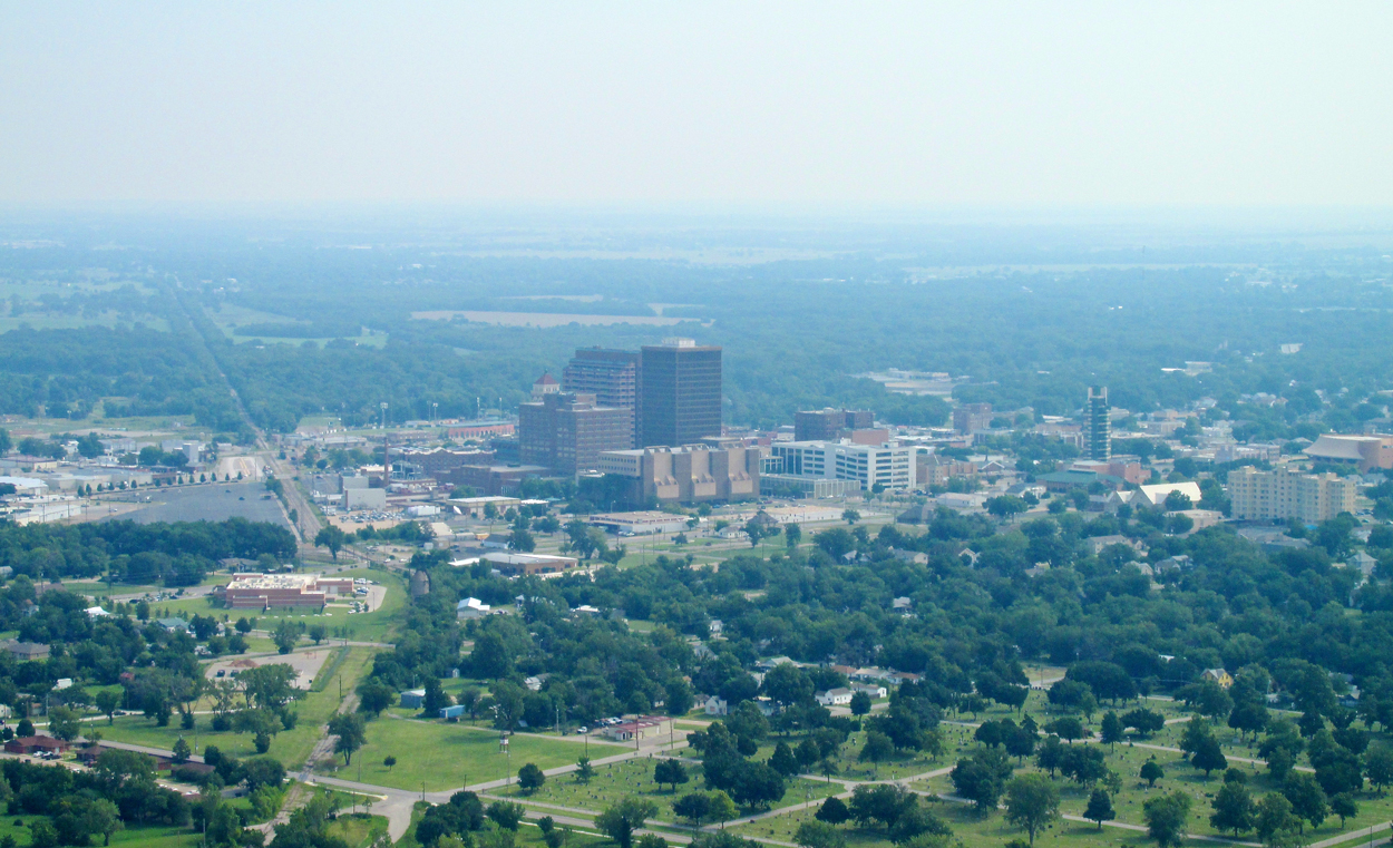
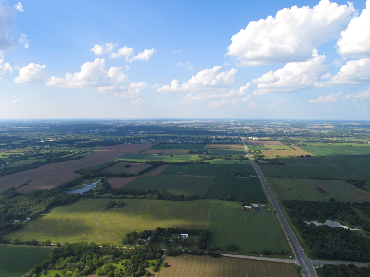
The Long View
Most “civilian” weather casts don’t make note of it but Aviation Weather casts always do… Visibility, that is. When you are on the ground, poor visibility is only an issue when fog or smoke becomes so thick it affects automobile traffic. For Aviators, though, visibility requirements are more demanding. Professionals are required to fly in marginal and bad weather all the time. Even so, they must adhere to published minimum visibility requirements.
For The Sky Surfer, your basic “Fair Air Flyer” and “Sky Journalist”, the issue of “miles of visibility” has much more to do with photo quality than legal requirements. On this Safari, the air contained significant haze the entire day. The shot below, looking Southwest, is a good example of the limiting factor haze represents for an “infinity” (horizon) shot.
The view Southeast as the Sun finally breaks through.
Sometimes haze works for you in a shot. It adds depth to this scene near the Kansas / Oklahoma border.
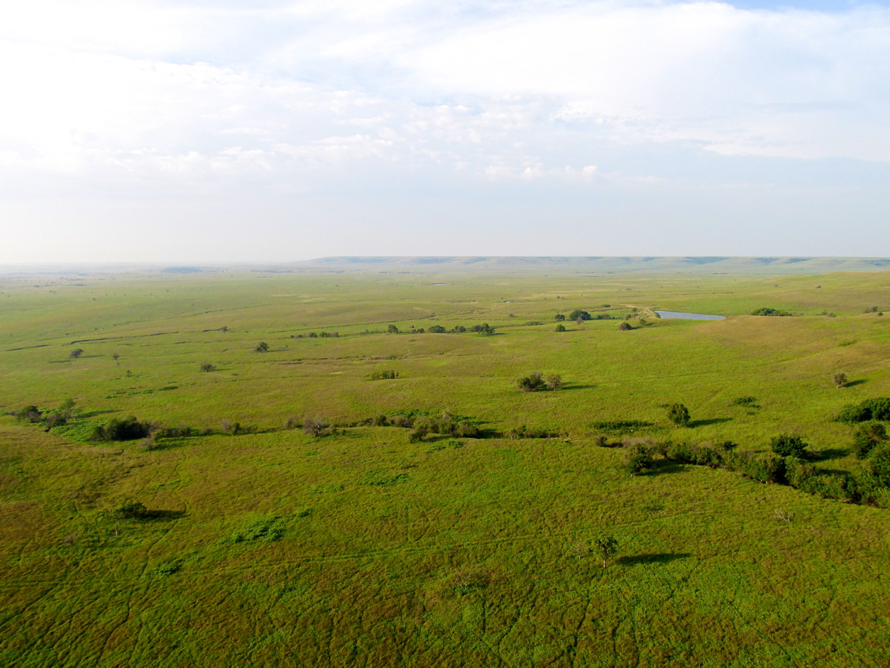
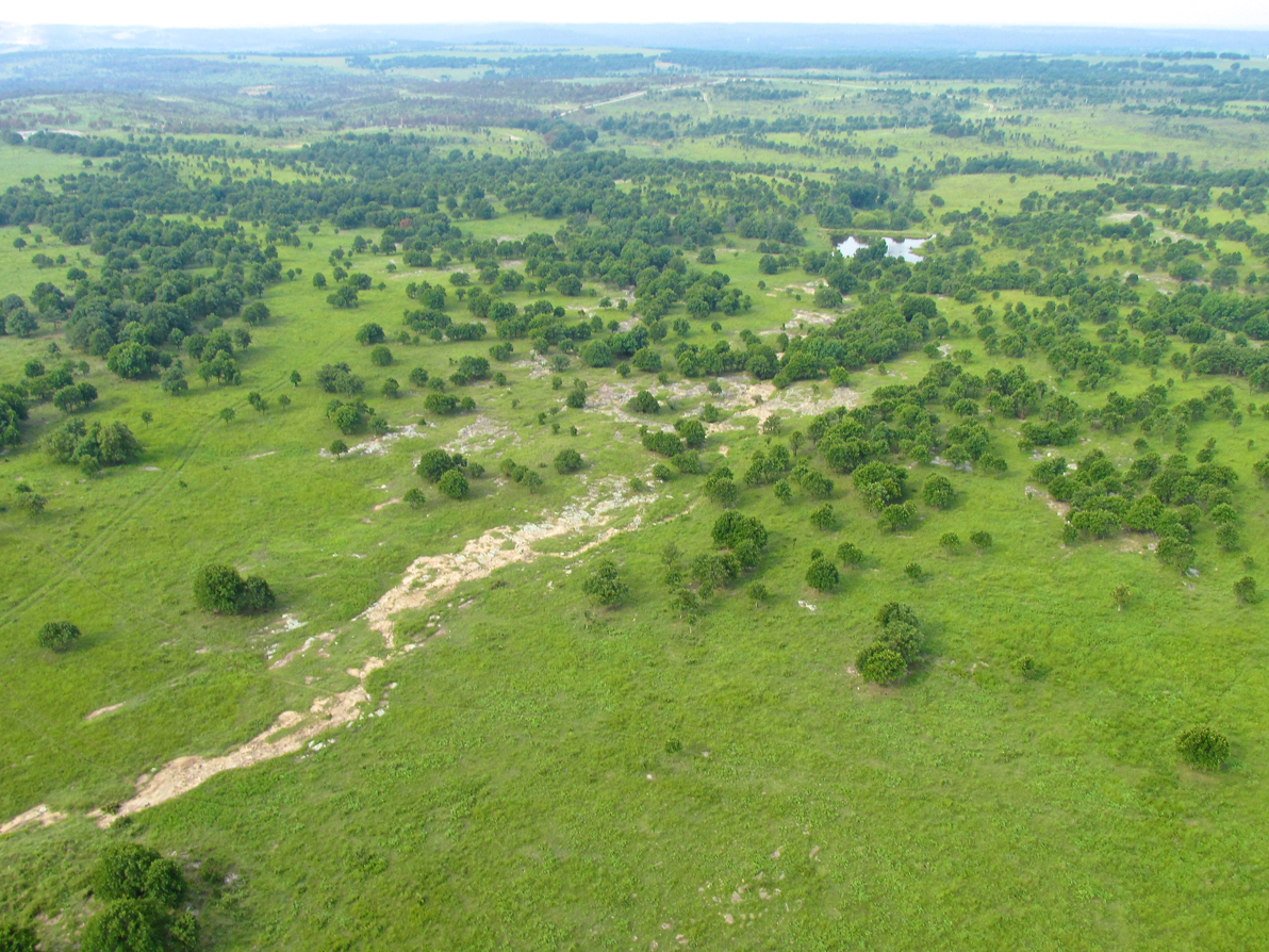
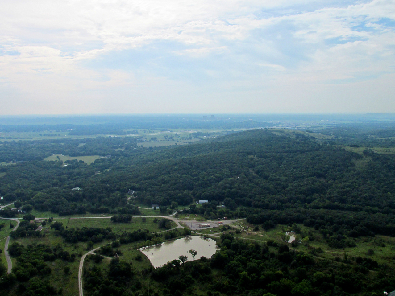
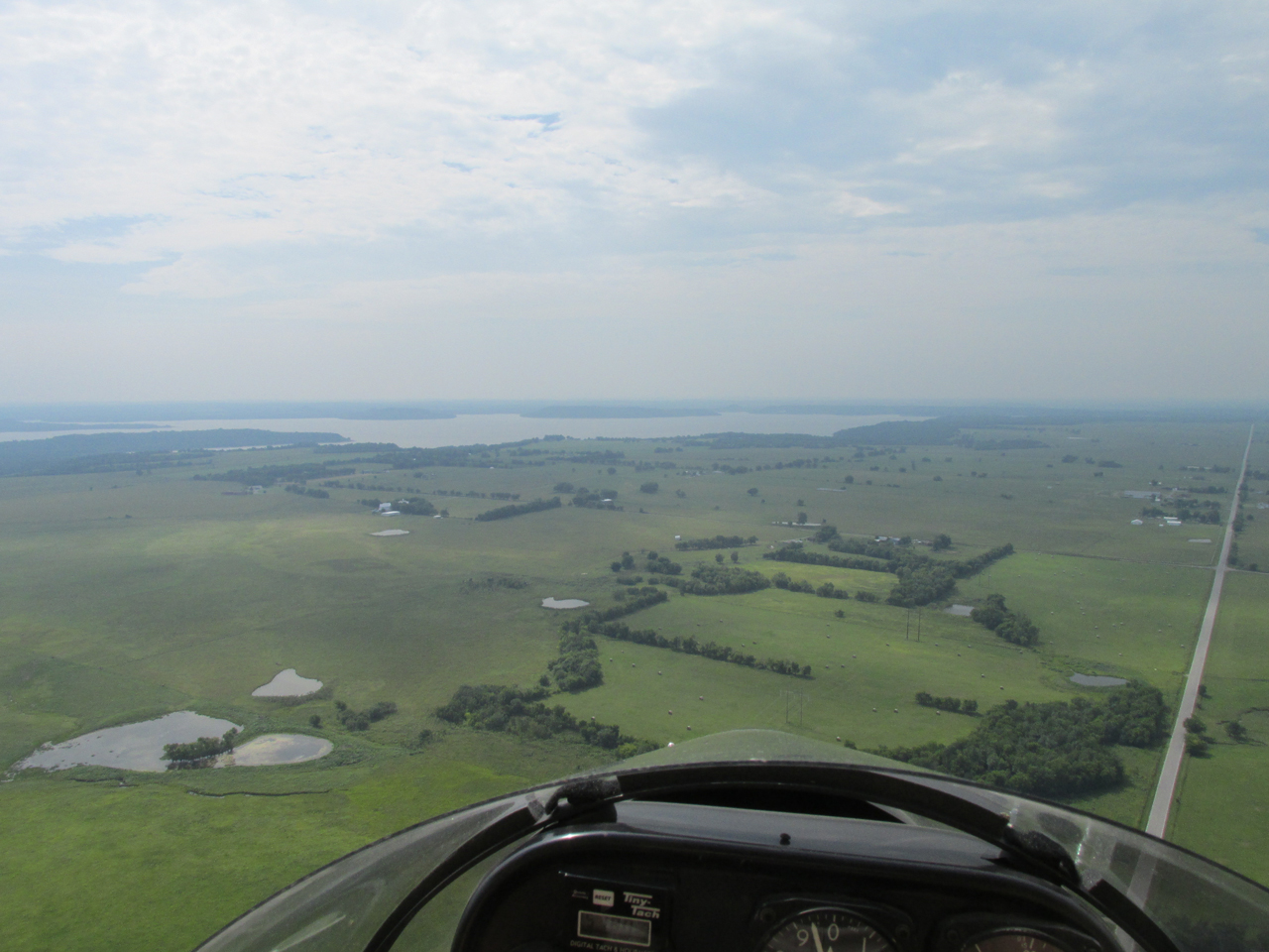
Some miles past the previous meadow scene, I cross into the open prairie of Northern Oklahoma. This is from 200′ AGL looking Southeast.
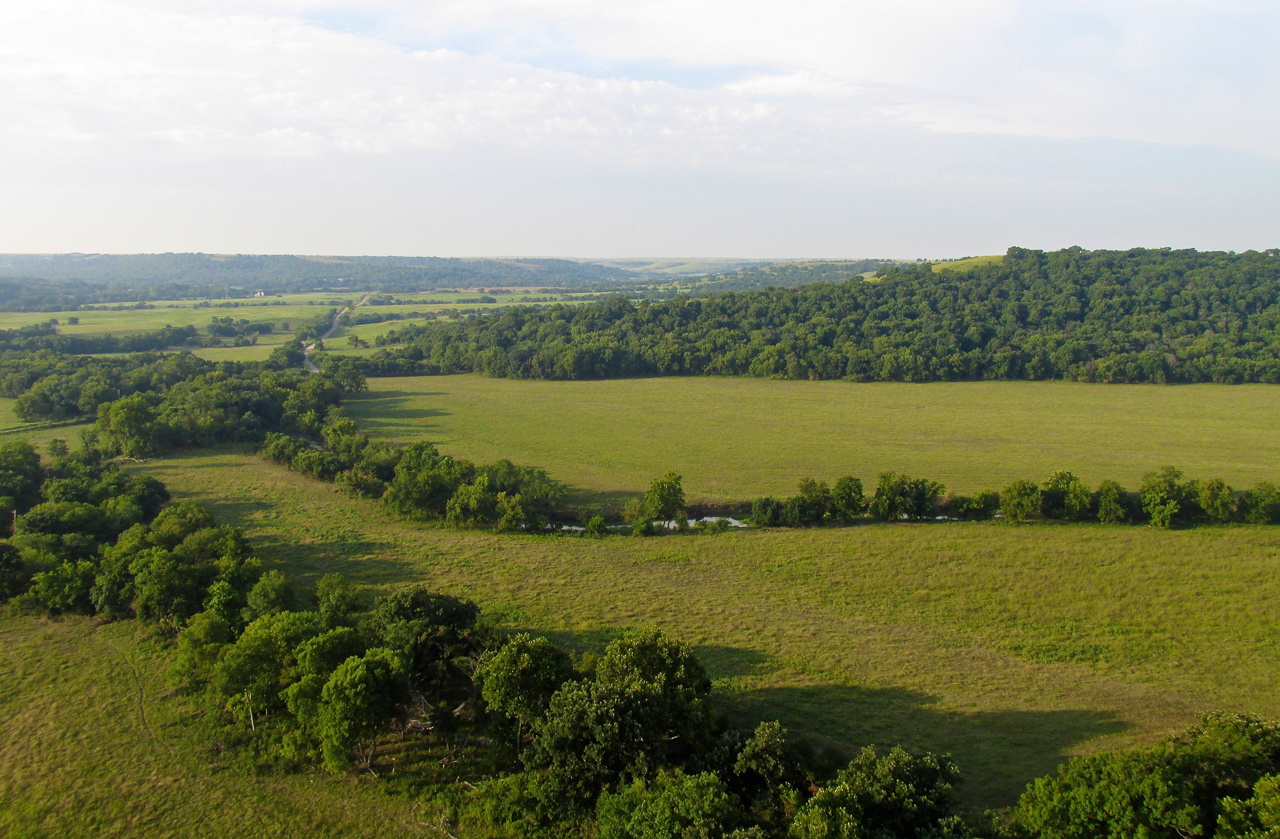
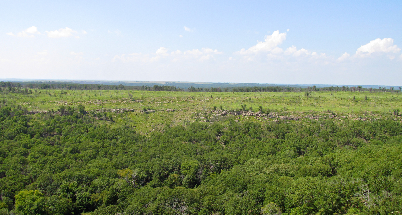
The bluffs in this area, similar to those in The Kansas Flint Hills, are a marvelous thing to behold.
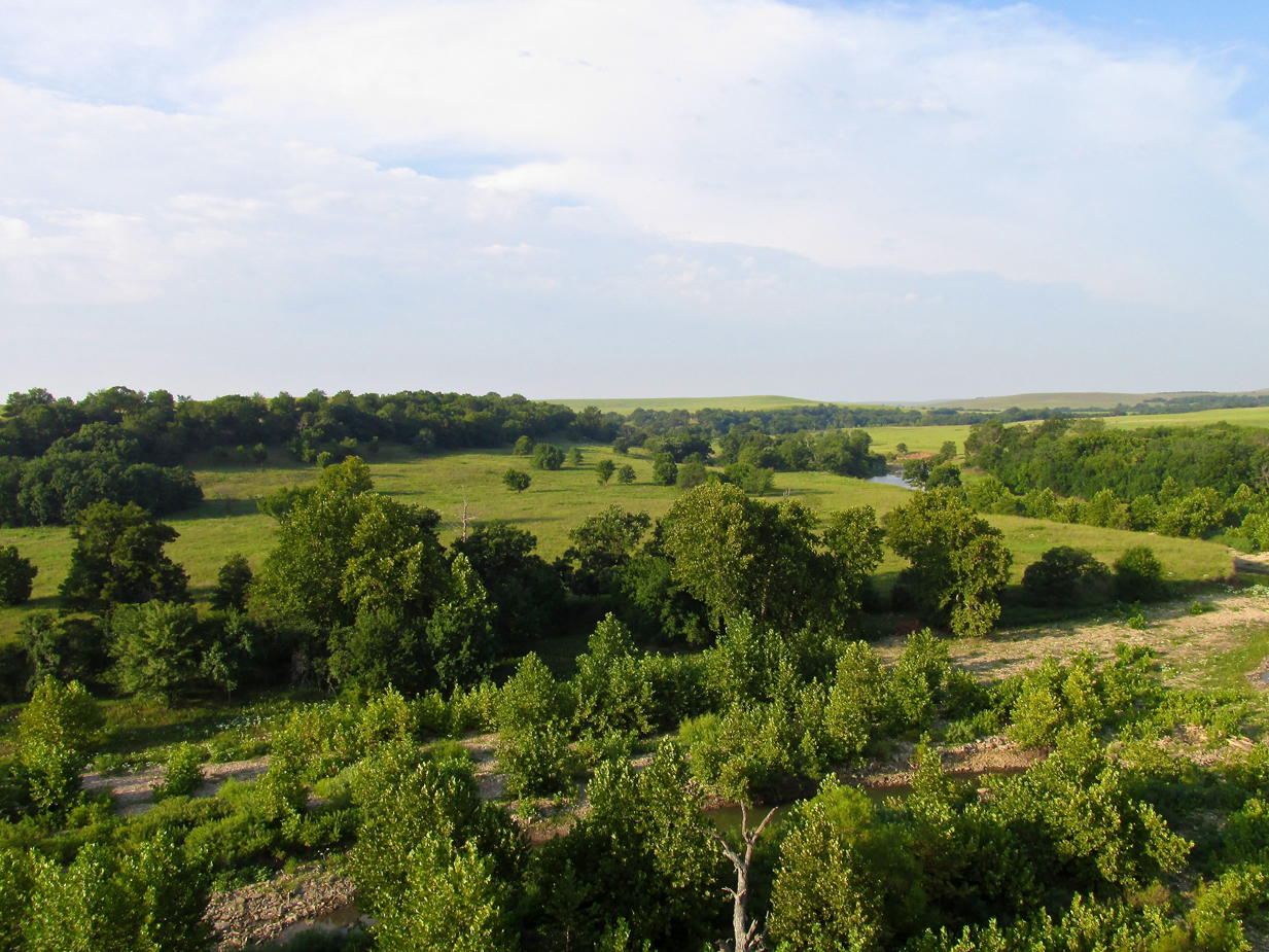
Wooded areas like this are the exception in Kansas but become more prominent the farther South I go. This was taken from 75′ AGL looking Southwest.
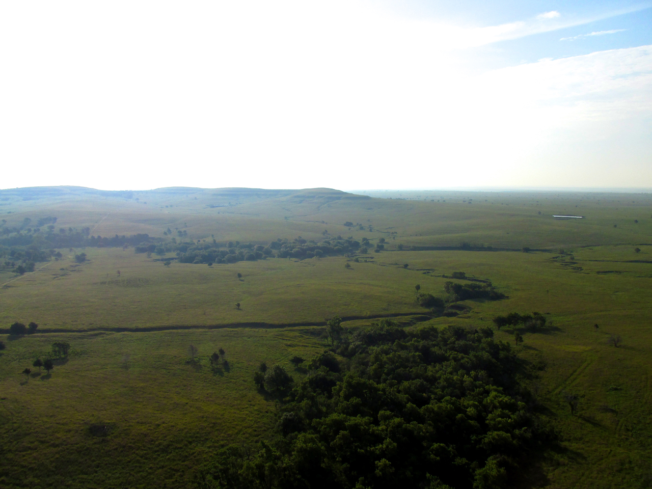
For at least 40 minutes I flew along without seeing any signs of Humanity. Then I came upon this feeding station. Besides a few head of cattle, no one was around, though.
Then, it was back to just The Sky Surfer and The Great Plains.
Break Time
I had flown for about two hours through some of the most beautiful landscapes God has given man to see. My plan was to stop at the Bartlesville Municipal Airport to get some gas before continuing to Oologah. I had flown to Bartlesville before (the story is HERE). For a long time it was the home of the annual “BiPlane Fly-In” until the event moved to Junction City, Kansas under the sponsorship of The Flint Hills EAA Chapter 1364 and Auto Dealer Jim Clark.
I was guesstimating I should be seeing Bartlesville at any moment but I also could see my gas tank was running low. While the territory I had been crossing for the past 2 hours was replete with “engine out” landing spots, the area on the Northwest outskirts of Bartlesville is pretty rough. If I dial back the motor and trim for maximum range, I can fly about 2 hours and 20 minutes on a tank of gas. For safety I would need to climb to 6 or 800′ to give me opportunity to land on the many oil field service roads and clear patches this side of Bartlesville Muni in case of engine failure. Climbing that high would eat into that “20 minutes” remaining. I decided to land and check my position before continuing. I need to make sure I was on course.
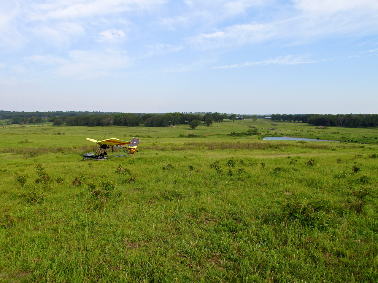
The Bright, Yellow Bird settles down for a minute.
Recon
I landed in a spot not far from one of the few ranches in the area. I figured if I was too far from Bartlesville I would approach them to buy some gas before continuing on. I have an excellent Garmin Hiking GPS I use for navigation but the screen is not particularly large. It is adequate for viewing my course, course deviation and ground speed but the map page is way too small for The Sky Surfer’s presbyopic eyes to acquire while in flight. So, in a situation when it counts, I land and examine it (sometimes with a magnifying glass). While writing this, it occurs to me I could program a page on the GPS for “miles to” and “time to” destination but I haven’t done that yet. I’ll stop writing this and do it right now…
Excellent!
I finally did it. I got up from the workstation, pulled my GPS from my “flight box” and added “Miles to” and “Time to” on one of my main pages. Man, that only took 3 or 4 years…
Back To The Safari
So, after examining the GPS map, I verified I was but 10 miles from Bartlesville Municipal. Even though the head wind was slowly building, I would press on. I had enough gas to make it just fine.
This was taken a few minutes after getting airborne. I am at 400′ AGL and you can see the terrain is getting rougher.
Pipelines
As I am writing this, the politically generated “controversy” regarding the Keystone XL Pipeline continues. The Greenies would have us believe this particular pipeline is something new – something out of the ordinary. It’s not. It pains me to consider the general public’s lack of understanding regarding the huge number of pipelines criss-crossing our Nation. If you want to see for yourself, I found an excellent U.S. Government site that shows them all (HERE).
Pipelines are everywhere and are monitored constantly. I know two pilots in Kansas who patrol them by air for a living (see them in stories HERE and HERE). But you know, as I write this it occurs to me that I could be too harsh on these folks. They really have no reason to know much about pipelines because they are so well maintained and safe – and underground – that nobody has occasion to think about them.
The Obama Administration’s concerns with the Keystone are strictly political payback – not safety or environmentally oriented as they contend.

Looking down on a newly laid pipeline where I crossed it from 800′ AGL.
In quick order, I shot this picture of the same pipeline heading South…

…and North. After a year or so this will be grown over with vegetation.
Maintenance, Maintenance…
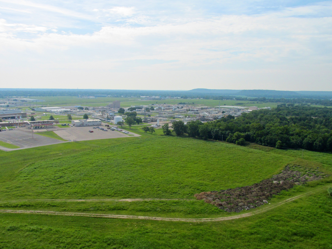
Below is the area I was talking about when I landed to check my position. It is on the Northwest side of Bartlesville and presents a very limited availability of emergency landing spots. Having enough fuel to cross over it is just good pilotage. Having the engine not fail is a testament to good maintenance and the quality of the equipment. I expend considerable effort to keep the engine in good shape and believe my Rotax 503 DCDI to be the best two stroke motor available in this category.
That is a crew with a “work over rig” making changes to an oil well OR re-opening it after it has been idle.
Bartlesville Municipal
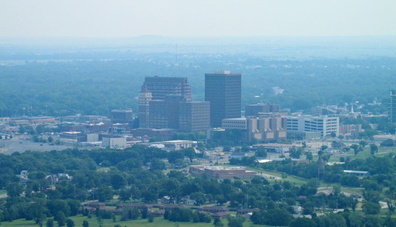
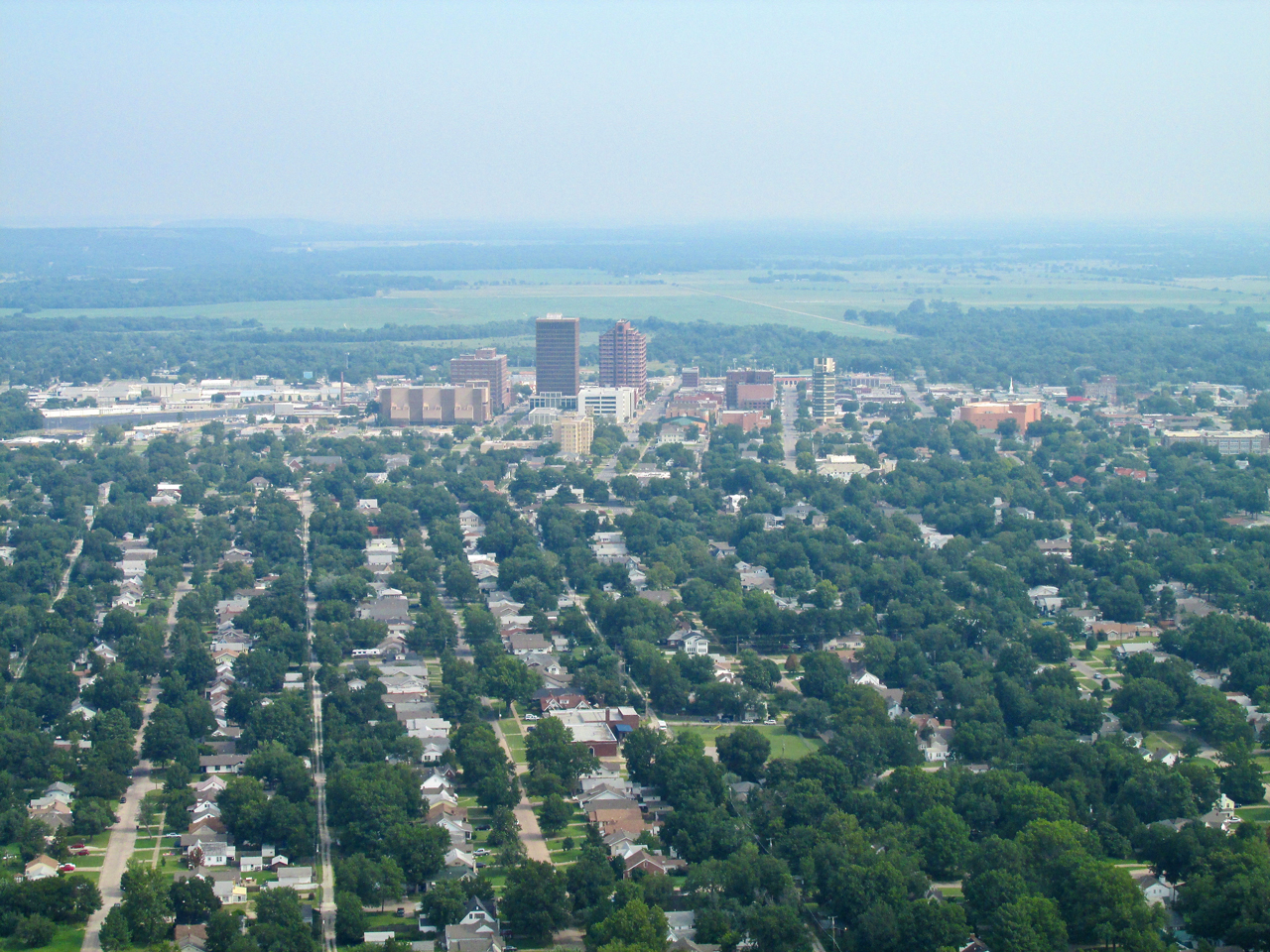
Below, through the haze, is a telephoto shot of the Bartlesville Skyline with the Municipal Airport in the foreground. Earlier, flying much lower, the large mound in the foreground prevented me from seeing Bartlesville even though it was relatively close. At this point I am at 800′ AGL.
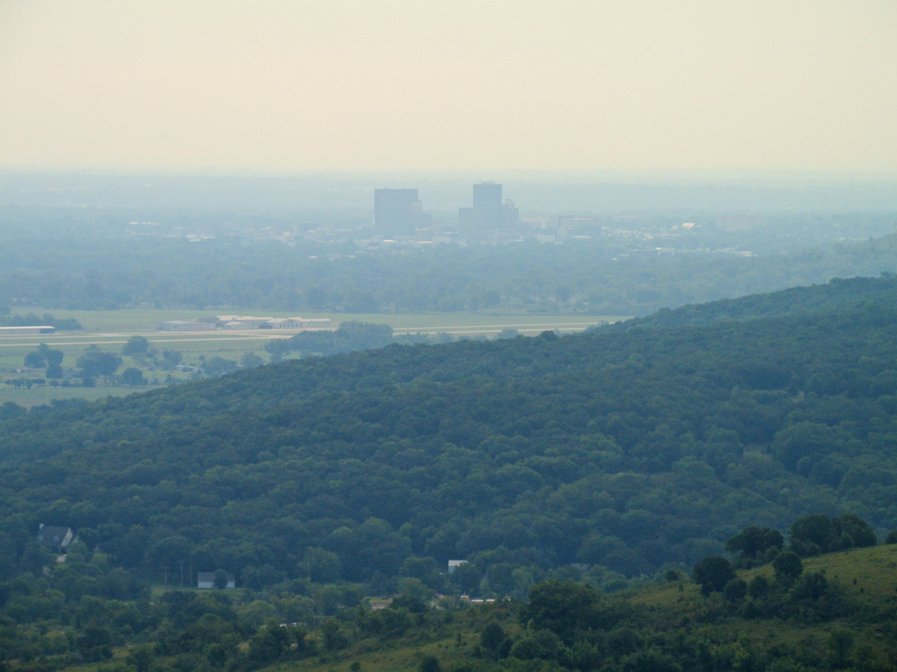
Bartlesville In Haze
The same scene as the previous one but now wide angle.
Fuel Stop
After landing, I noticed the wind on the surface was intermittent so I felt comfortable stepping away from the plane to get the next shot. I know from experience not to get too far from my Ultralight on a smooth surface such as this. A slight breeze can propel the craft into a fence or other unyielding object when it is not tied down. The plane is strong in the air but does not handle impacts well.
I was looking for the fuel truck. That’s how they sell gas here rather than using “in ground” fuel pumps.
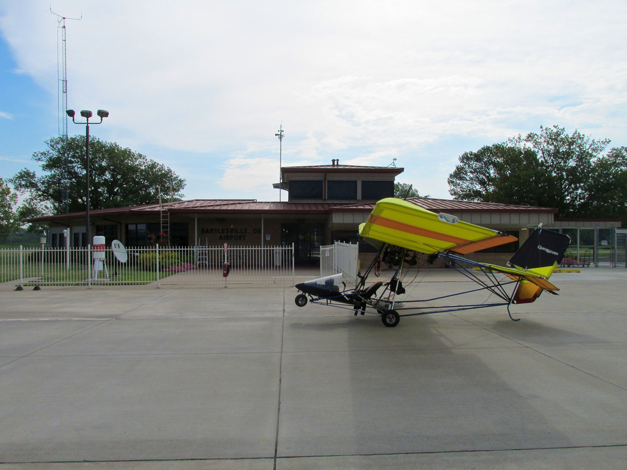
Sky Surfer’s Ride at the Bartlesville Municipal Terminal.
Super Service
As I stepped out and looked down the ramp I could see Allen Parker, the line tech. He was about a quarter mile down near some other hangars. With body language he pointed to the fuel truck shrugging his shoulders with hands out to ask if I needed fuel. I responded with an affirmative nodding head and arm wave in my direction. Allen jumped in the truck and pulled up next to the MXL.
I had met Allen on my last journey to Bartlesville. In that story I neglected to get a shot of him so while he was working I took the “candid” below. From a professional perspective, I prefer candid photos to staged shots most of the time. There is a place for both in the photo/journalism universe. But, “Candids” done right are more “real”.

Not one drop spilled.
After he finished I asked Allen if he would pose for a shot so I could get him, his truck and my Quicksilver in one shot. He said “No Thanks” because he was in the company uniform. I told him I had already taken a picture of him while he was working. I said I wouldn’t use it if it might cause him repercussions. He said since he didn’t know about it when I shot it, it would be OK.
I settled up for the gas and continued my journey Southwest to Oologah.
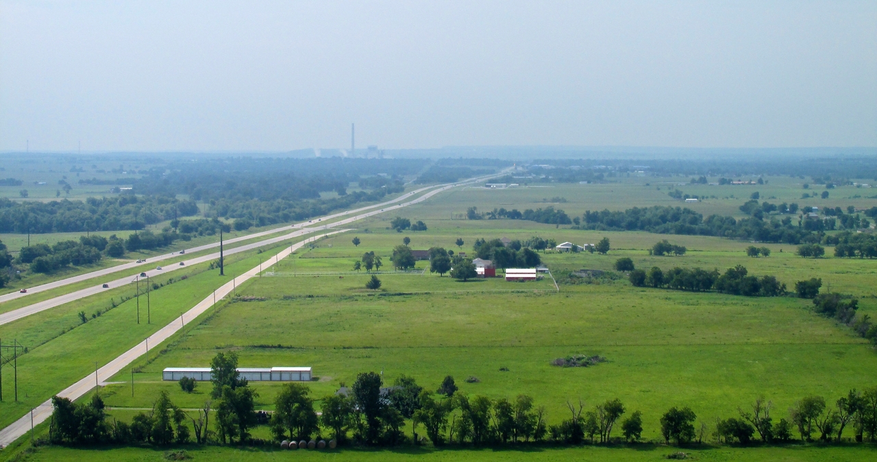
Just off the South end of the runway is this Phillips 66 refinery.
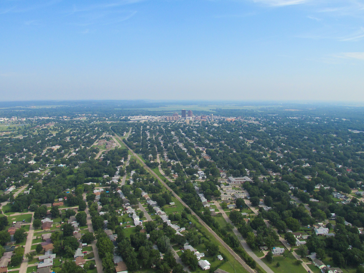
Bartlesville Aerial Study
I took quite a few pictures of Bartlesville as I left the area but am inserting only a few here. While it was still quite hazy, I think they give a good overview of this pleasant town.
Downtown Bartlesville from 1,000′ AGL looking Northeast.
Same as above but wider…
…and wider still.
One more medium shot looking North from 1,200′ AGL.
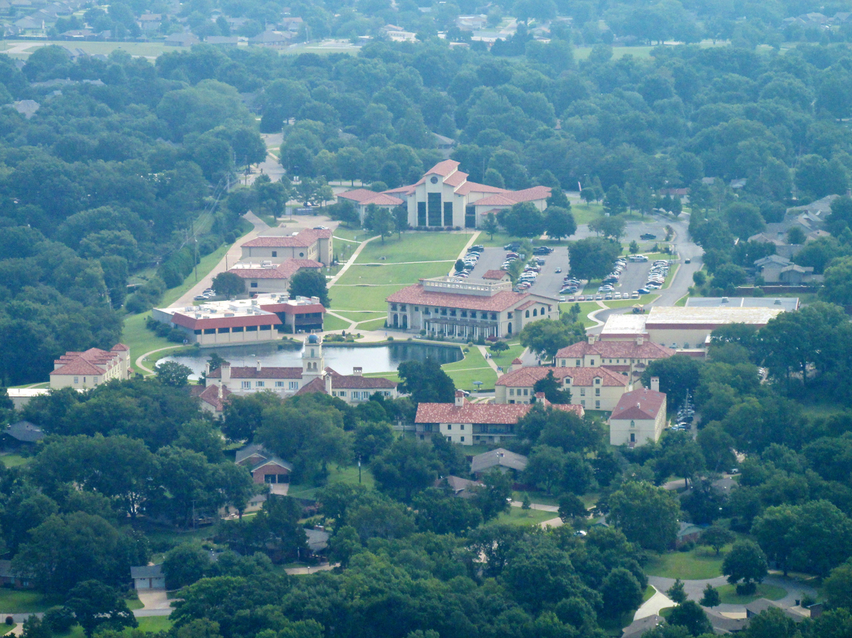
Wesleyan College
Bartlesville “Suburbs” on the South Side of Town.
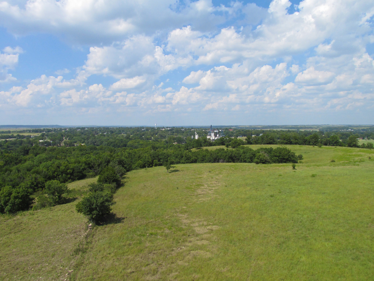
Back out in the country. This is from 75′ AGL looking Southeast.
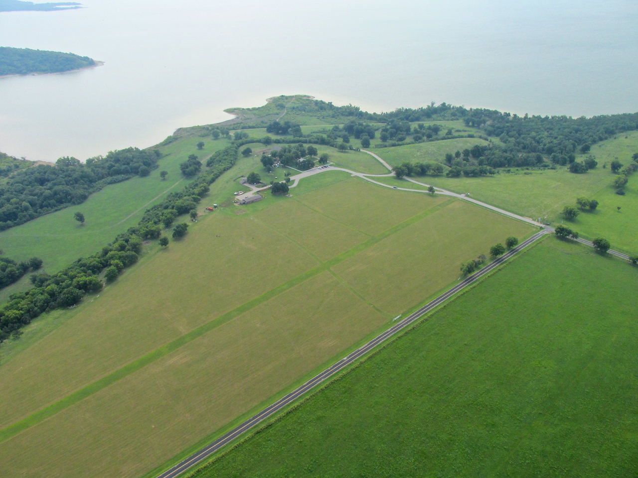
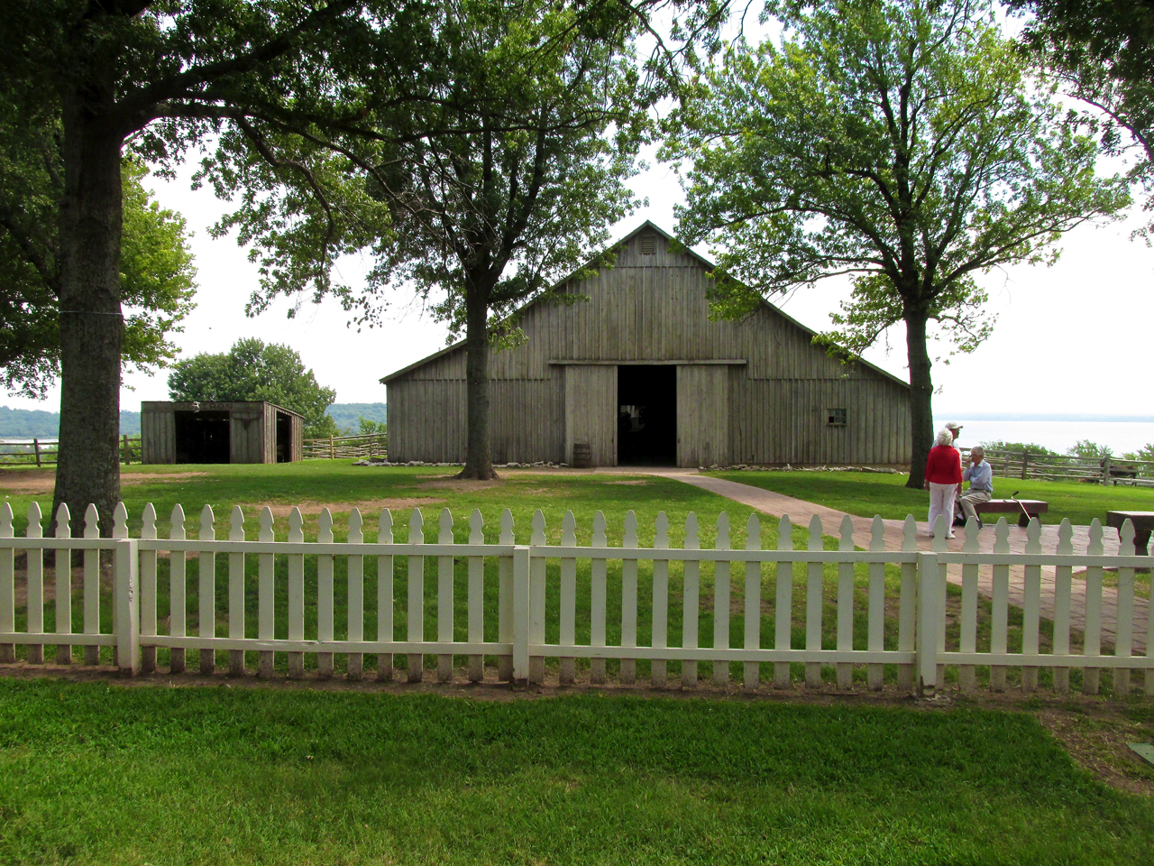
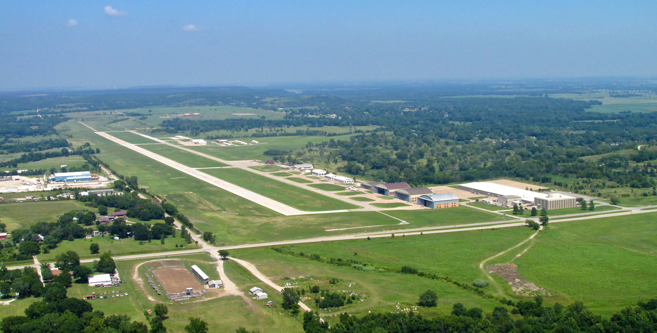
Dog Iron Ranch
Although I have been calling this a trip to Oologah, the destination is actually Dog Iron Ranch, the Rogers homestead on the shore of the Oologah Lake. It is 3 miles Northeast of Big “O” and features its own runway. Interestingly, The Ranch used to be located on land under the lake. When the decision was made to build a dam, “The White House on the Verdigris”, as the Rogers’ home was known, was moved to a high point overlooking the rising water.
Eyes Peeled
Since it was about 11am and this event was slated to attract 200 or more aircraft, I intently surveyed the area around the lake for air traffic. I didn’t expect a lot of planes in the air because most show up to these affairs pretty early and they probably would be eating lunch or milling about the flight line checking out each other’s planes. I had left early enough (6:40 am) but it had taken 4 hours and 20 minutes for me to get this far. I figured being a late arrival would add interest to my “Longest Flight by an Ultralight” claim. Maybe I would get a plaque!
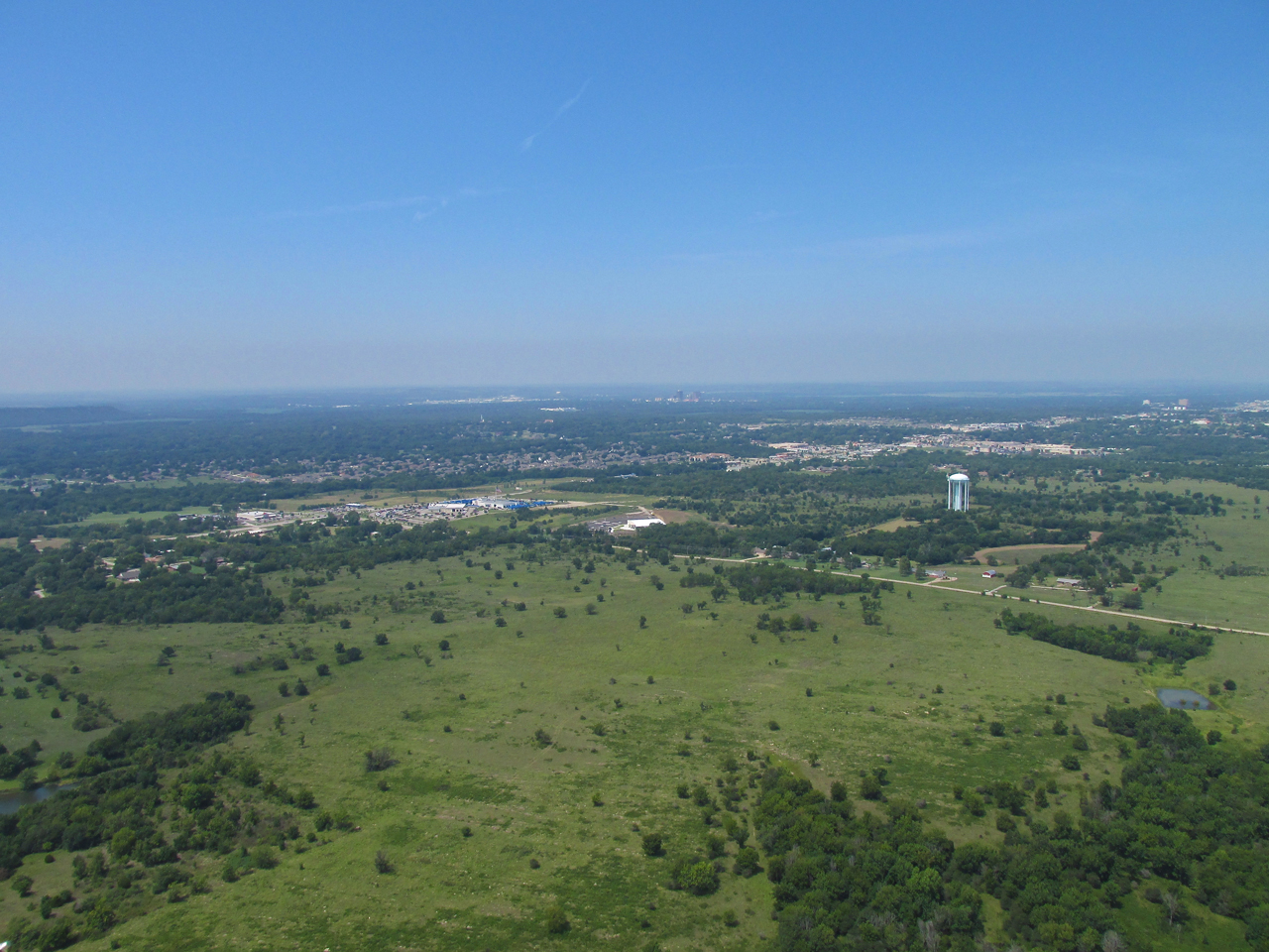
Highway 75 heading into Tulsa from 600′ AGL looking South.
Triumphant Entry Coming Up!
Below is the view Southeast just after crossing Highway 77. I am at 1,200′ AGL peering at the two clearings on this side of the lake for Dog Iron Ranch. From the map I had examined at home, I figured it could be either one. Finally I saw a plane over the clearing directly ahead. He seemed to be entering the pattern downwind to land but I could not make out the landing strip from that distance in the haze. At 38 mph airspeed, I motored on.
Oologah Lake in the distance.
Dog Iron In Sight – Time To Let Down
The plane I was watching completed his pattern and made a low pass and then headed South along the lake. I figured the open space he buzzed had to be the Dog Iron Runway. It is very common at Fly-Ins for pilots to fly around the area and make passes at the field. I set up to enter the left hand pattern that he had established. To do that I would cross over at mid field and then start letting down. Soon, I would discover that would not be the only let down…
Crossing over Dog Iron Ranch. No planes in sight!
Wassup?
Above you see the picture I took as I was about to cross the field and enter the traffic pattern. I continued whipping my head around vigilant for traffic but the air was uniformly scarce of flying machines. A number of scenarios entered my mind…
- Folks come to this Fly-In early and leave early.
- I’m the early one. They’re all showing up for lunch.
- Maybe that other clearing to the North is Dog Iron Ranch and this is somebody else’s place.
I saw some activity below and I was already in the pattern to land so I dropped in. I was out of ideas.
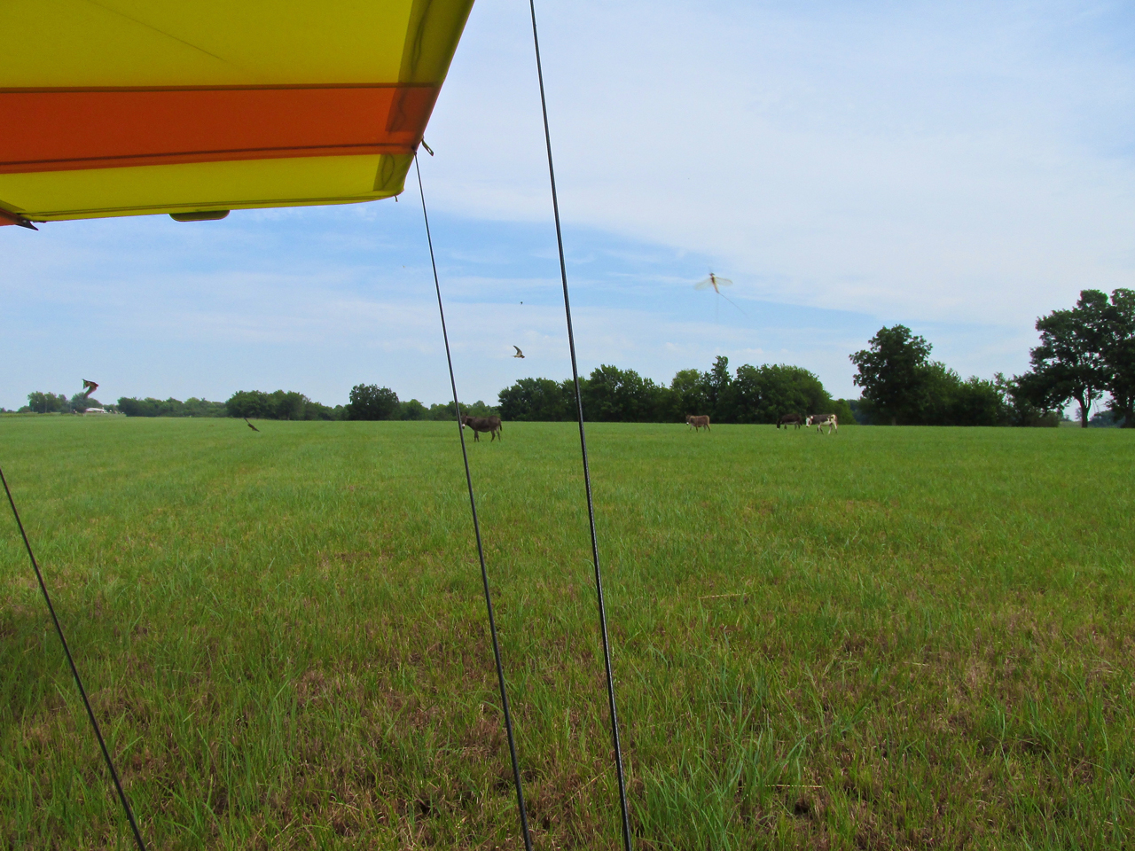
The Sky Surfer’s Royal Welcoming Committee
Hmmmm
Taxiing off the well-kept grass runway, my only greeting was a small herd of disinterested donkeys wandering the area surrounded by a swirling flock of swallows chasing fish flies. It was not what I expected. I taxied to a spot next to an out building to get shelter from the South wind before de-planing. At this point, I was still holding open the possibility that I was at the wrong place. From where I parked my plane, a fairly large house, out building and barn was obscured by trees. I walked over to ascertain my position and see if anyone was around.
Destination Correct But Where Is Everybody?
I walked over to the buildings. Signs heralding the Home of Will Rogers confirmed I was indeed at Dog Iron Ranch. While deciding what to do next, the rising wind decided for me. I headed back to my plane to secure it. Though mostly shielded from the wind behind the building, it would need to be tied down before I could explore the area better. As I returned to my plane two folks were getting out of their car. We exchanged waves. As I secured the plane, they came over. I introduced myself and that’s when I found out…
Newspaper Error
Leonard and Linda Troglin of Siloam Springs had driven over that morning to see the airplanes, too. They had read the same newspaper account I had. While there was some disappointment, we all decided it was still a good day to be alive and at such a scenic spot. While we were talking a ranch hand happened by and confirmed the newspaper error. He said the Fly-In would be the next day (Sunday. Not Saturday). The Troglin’s said “Goodbye” and set off to eat lunch in town.
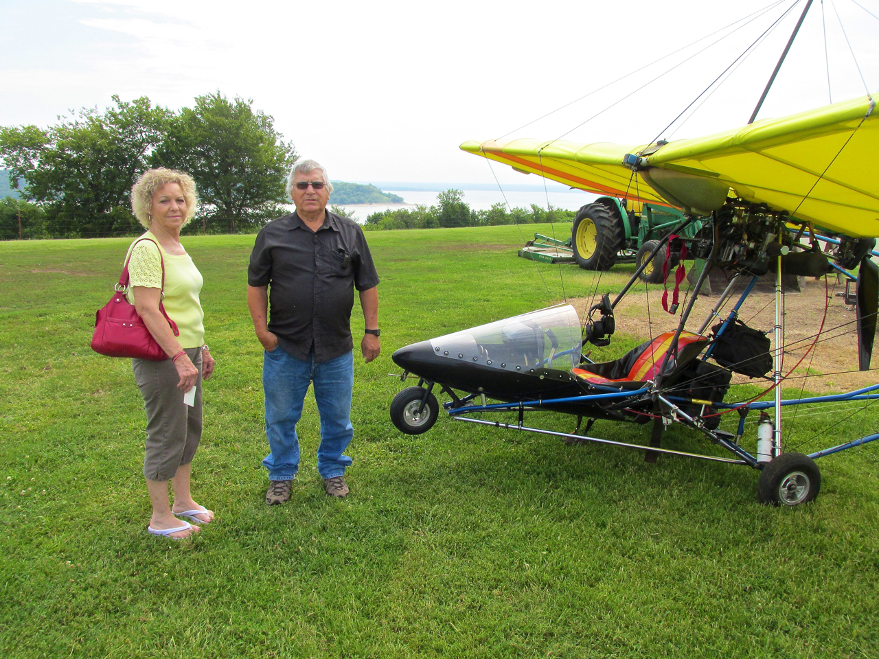
Leonard & Linda Troglin of Siloam Springs, Arkansas
Dog Iron Ranch
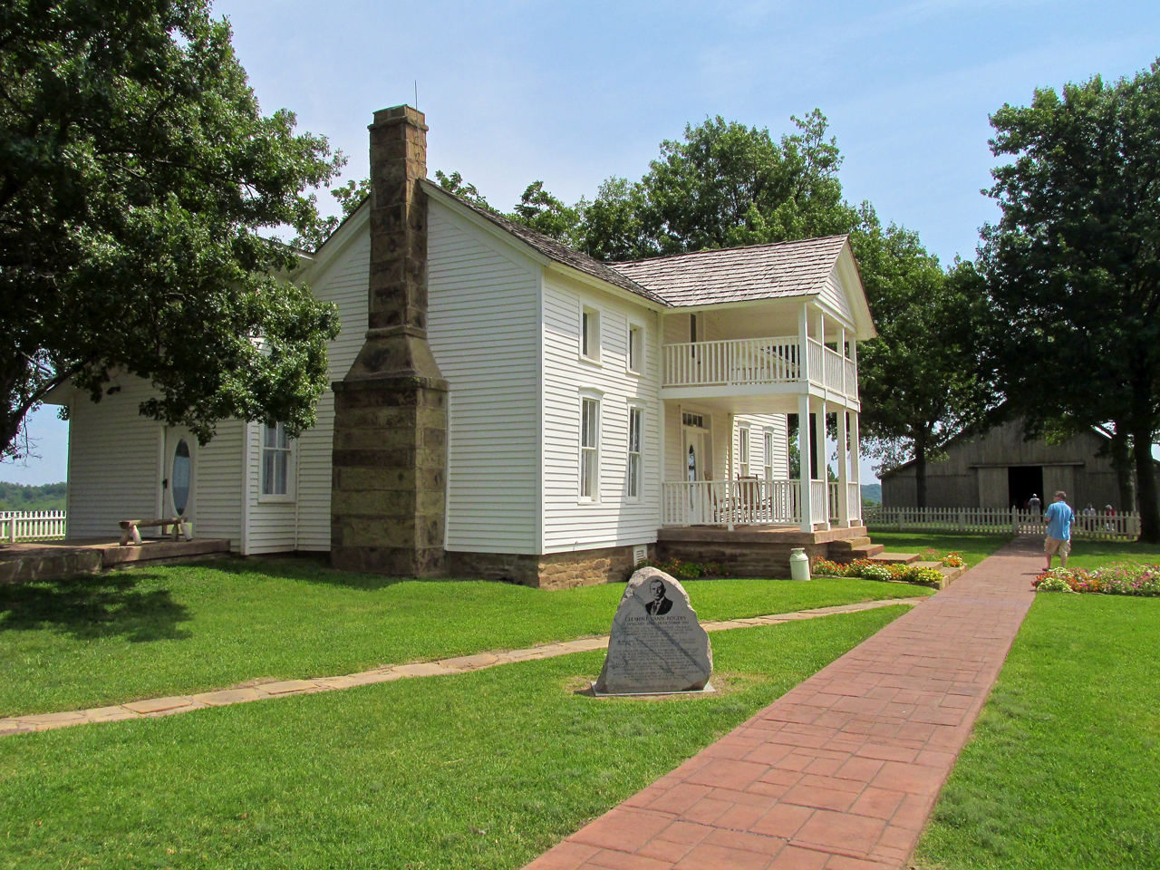
The White House on the Verdigris
I was curious to learn what this “Dog Iron” meant as I was not familiar with the term. The Web has become a fine and wonderful thing for research. It took me about 10 minutes but I discovered that Dog Iron is a synonym of “fire dog” and andiron. When employed that way, it describes the “lifts” used in fireplaces to keep the logs suspended for better airflow. Some are also designed to prevent the wood from rolling out into the room.
A secondary meaning of Dog Iron is as a construction device that holds logs or stones together. Which meaning Clement Rogers assigned to The Ranch, I do not know.

I thought this picture would provide as good an historical overview than for me to re-write it.
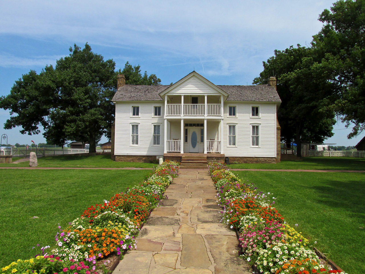
The State of Oklahoma does a wonderful job maintaining this fine monument.
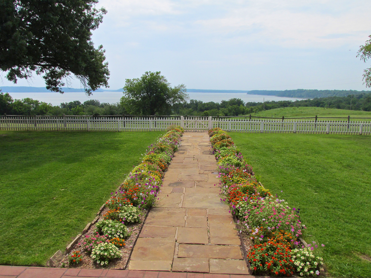
The view from the mansion steps.
Inside The White House
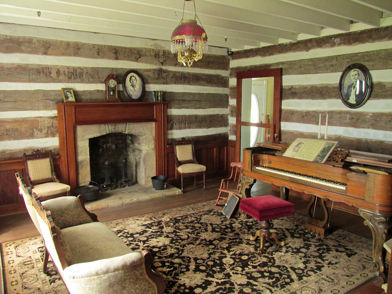
The Living Room
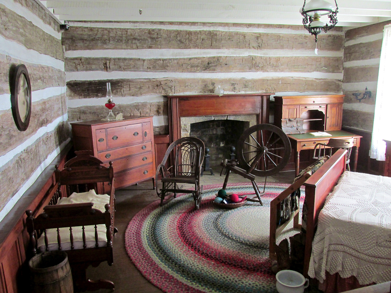
Ma & Pa’s Bedroom
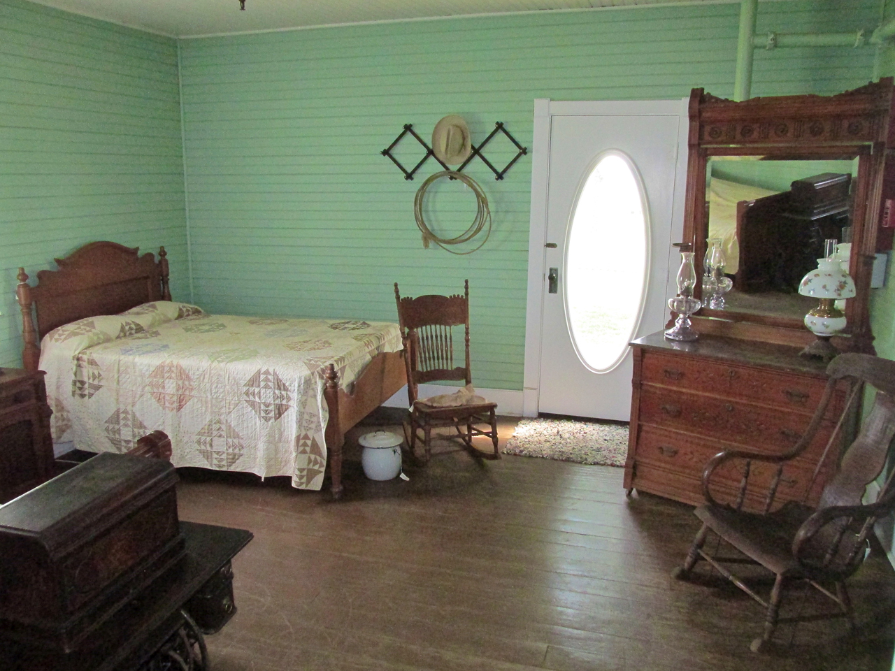
Will’s Bedroom. The brochure said he would sleep out on the porch a lot when it was warm.
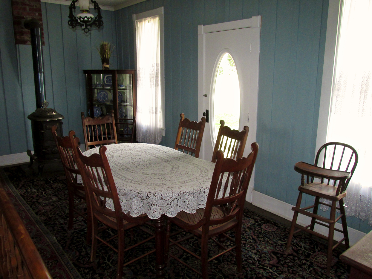
The Dining Room

The Kitchen “A”
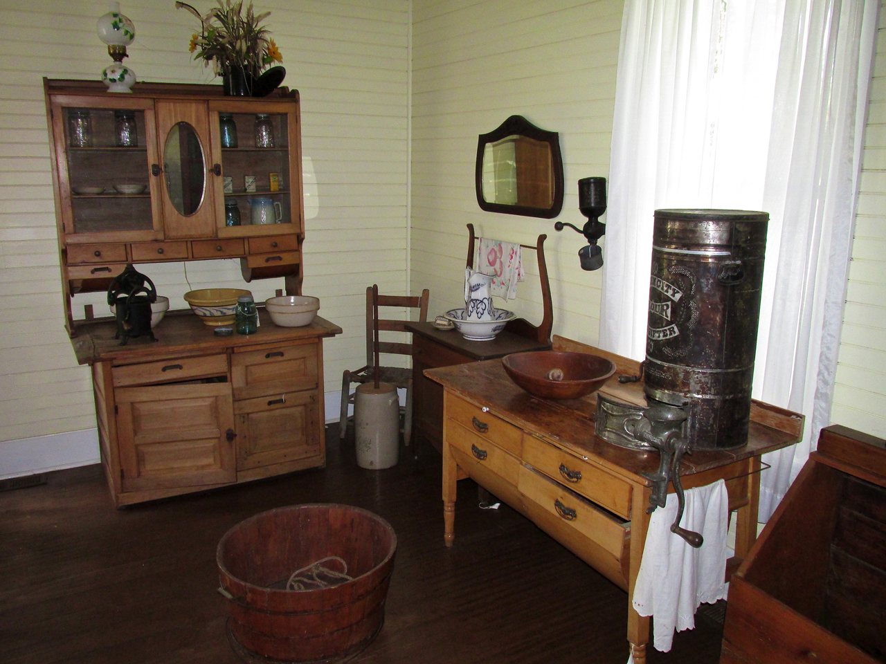
The Kitchen “B”
The Barn and The Tackle Shack
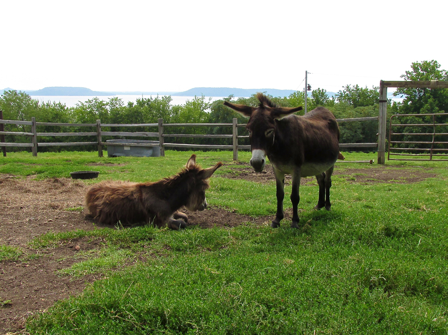
After the excitement of my arrival the donkeys returned to lounge in their corral.

Various conveyances to be used during the following day’s actual Fly-In.
Joe Purdy
After looking at The White House and barn I returned to my plane. Joe walked up and we made acquaintance. He was interested in my machine as he had a background in aviation dating back to 1950 (1 year before The Sky Surfer was born). That was the year he joined The Air Force. Joe had been a maintenance instructor at Shepperd AFB outside Wichita Falls, Texas. Like me, Joe had come to Oologah hoping to see a couple hundred planes. The Quicksilver would have to do…
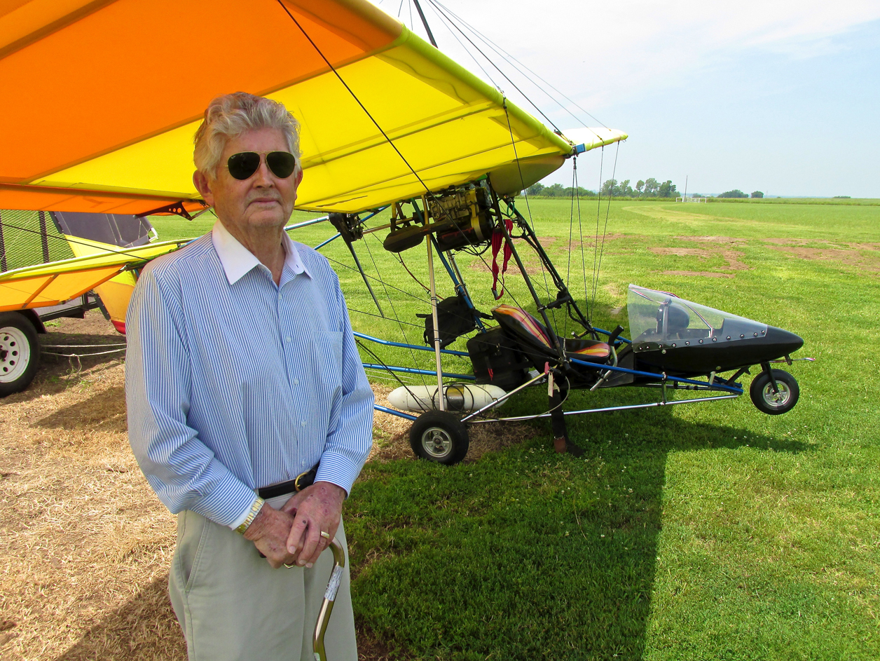
Joe Purdy
Will Rogers World Airport
While the Rogers Airport is in Oklahoma City, the commemorative plaque you see below is at Dog Iron Ranch. Back in the day, airports were a very special thing. Even when I was young, people would dress up to fly on an airliner. Now, the majority of people in America don’t dress up for anything!
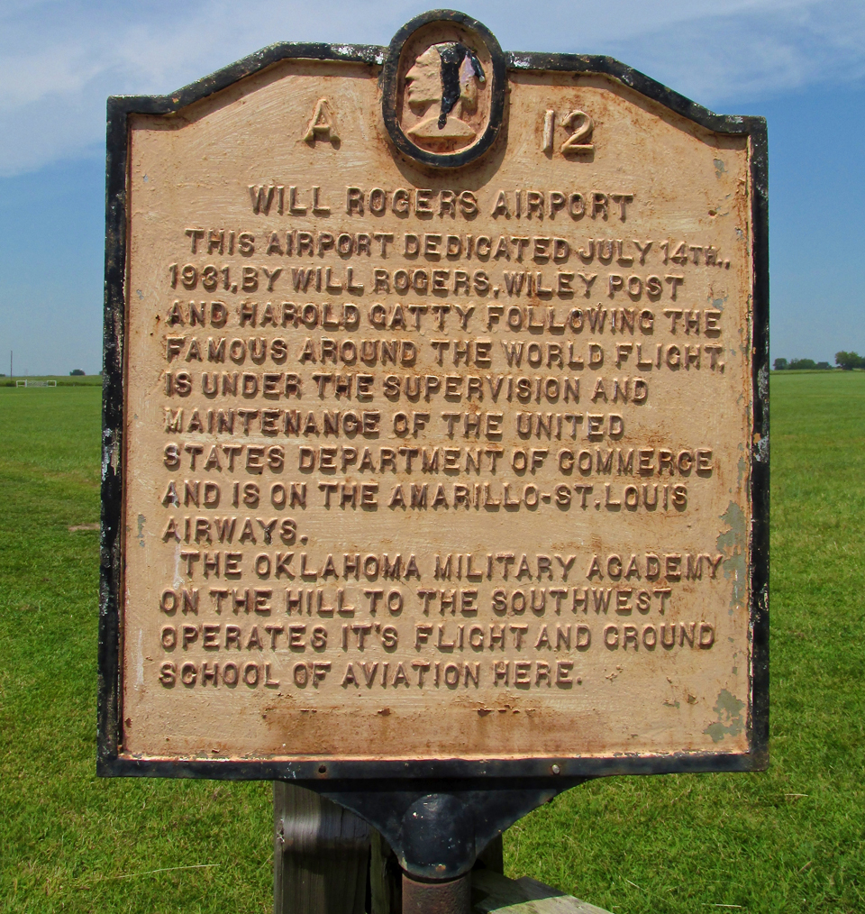
An historic plaque at the ranch.
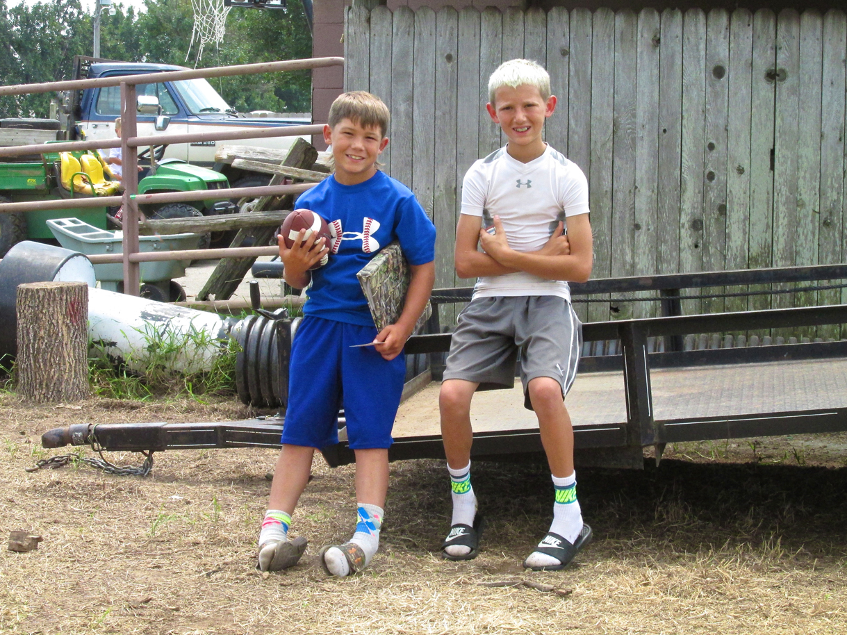
A Youthful Bon Voyage!
Having taken in the sights at Dog Iron, I put everything in order for takeoff, started the motor and was about to taxi to the runway when the two hombres seen below came around the corner. I turned off the fan and got out to talk to them for a minute. It was pretty windy at that point and I needed to be on my way but The Sky Surfer never misses a chance to address onlookers. Even though I didn’t have time to take out my earplugs or remove my ear muffs or goggles, I stepped over to shake hands. I gave them a couple of my “Sky Surfer” calling cards and said I would perform a “maximum climb takeoff” for their benefit. They said, “That will be cool”.
I included two shots of them because they have “All American Boy” written all over them. They remind me of my Son Jack and his buddies when they were this age. I predict good fortune for them!
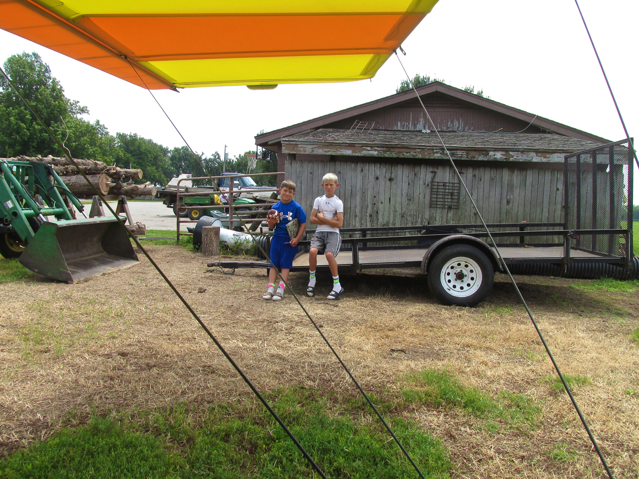
All Americans
Never The Same Ground
Although I would be returning on the reverse path from which I came, I have never crossed over the exact same ground on a Sky Safari return trip. So, from that standpoint, it is a continuation of the journey. Here are highlights of the “downhill run”.
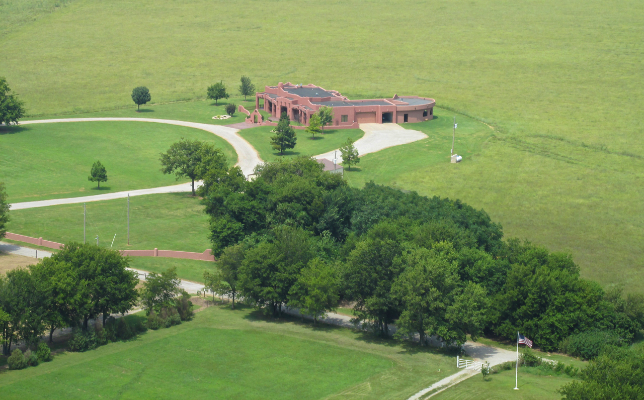
An Interesting Adobe Style House
Just after departing Dog Iron Ranch, the view of the wide open prairie looking Northeast from about 500′ AGL.
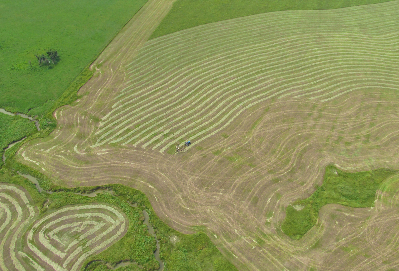
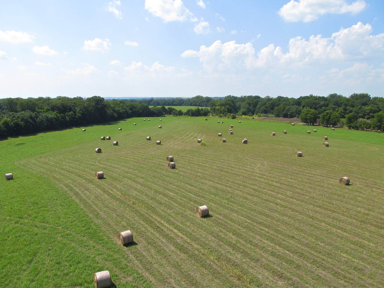
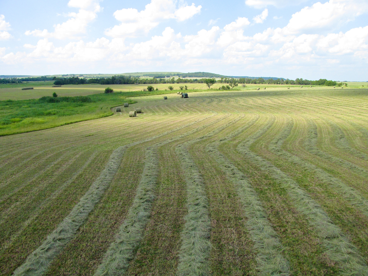
Raking Hay
Different Lighting – Less Hazy
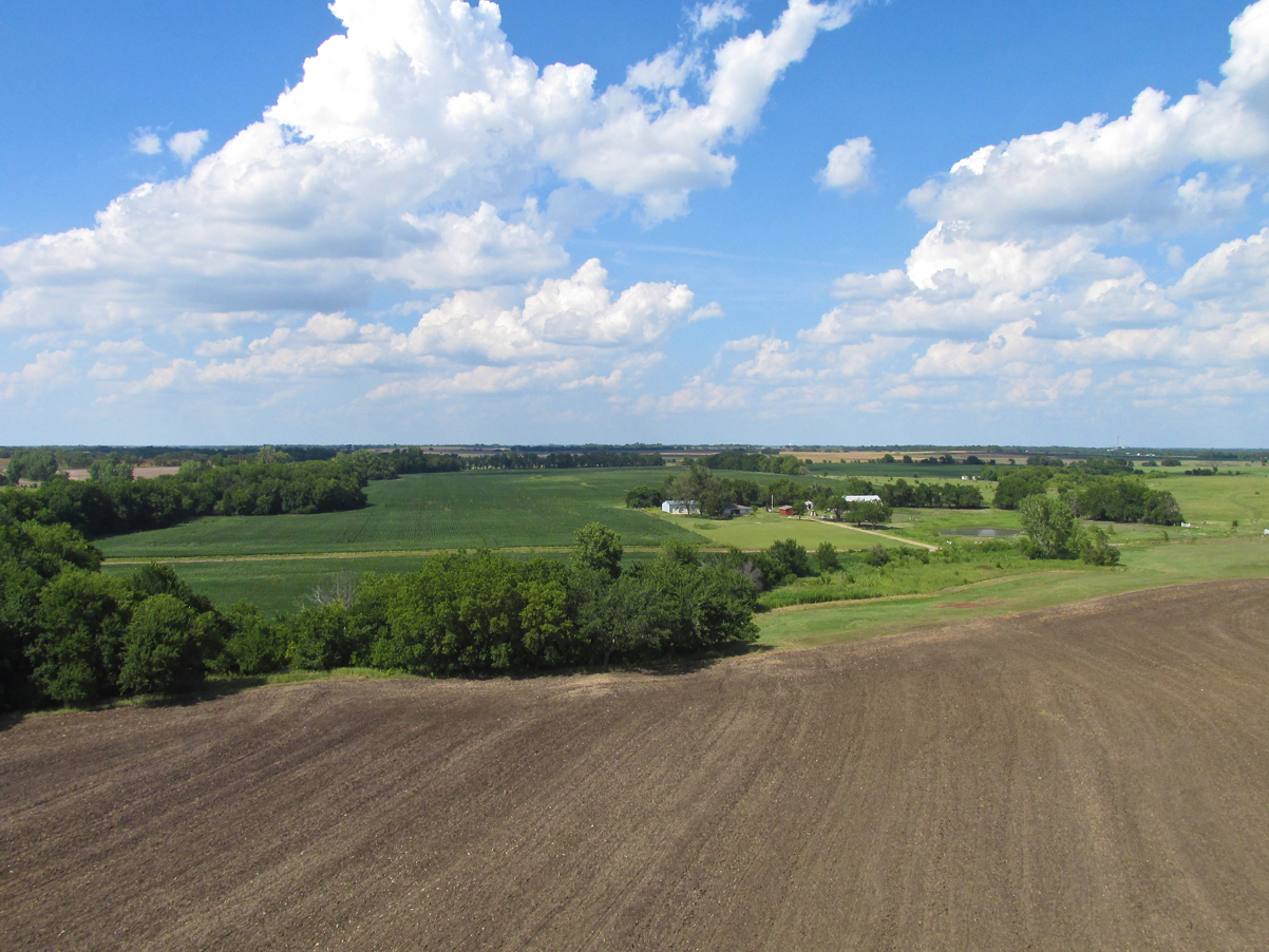
Since the sun was higher and farther West on the return, I will include a few more shots of the Bartlesville area even though I shown this environs earlier…
Bartlesville from 1,000′ AGL looking Northwest.
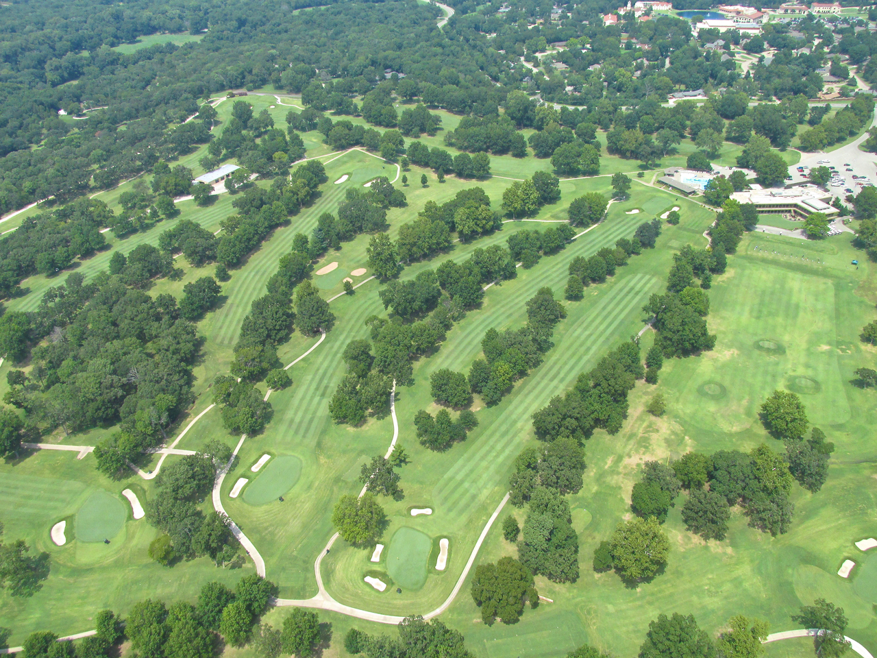
Looking down at The Hillcrest Country Club from 1,000′ AGL.
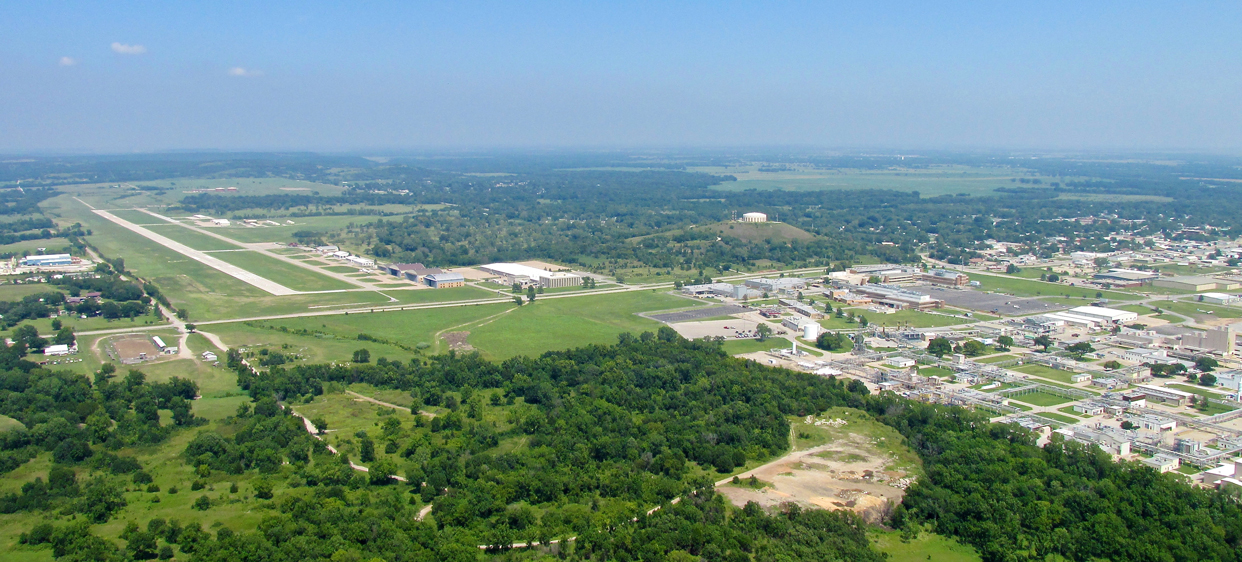
Bartlesville Airport (L), Tower Hill (C) and Phillips 66 (R)
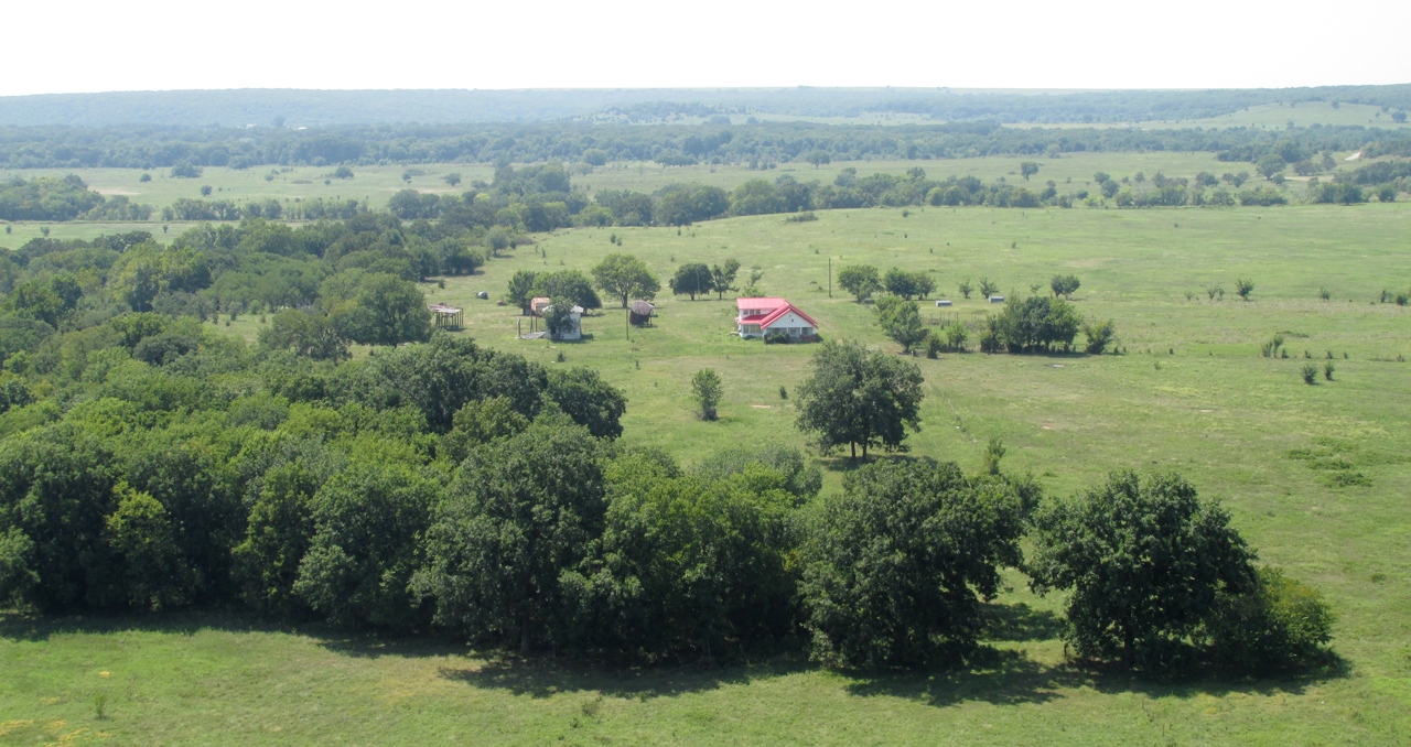
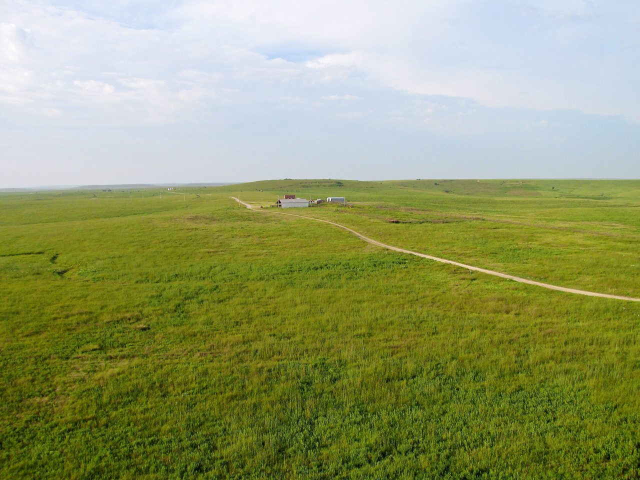
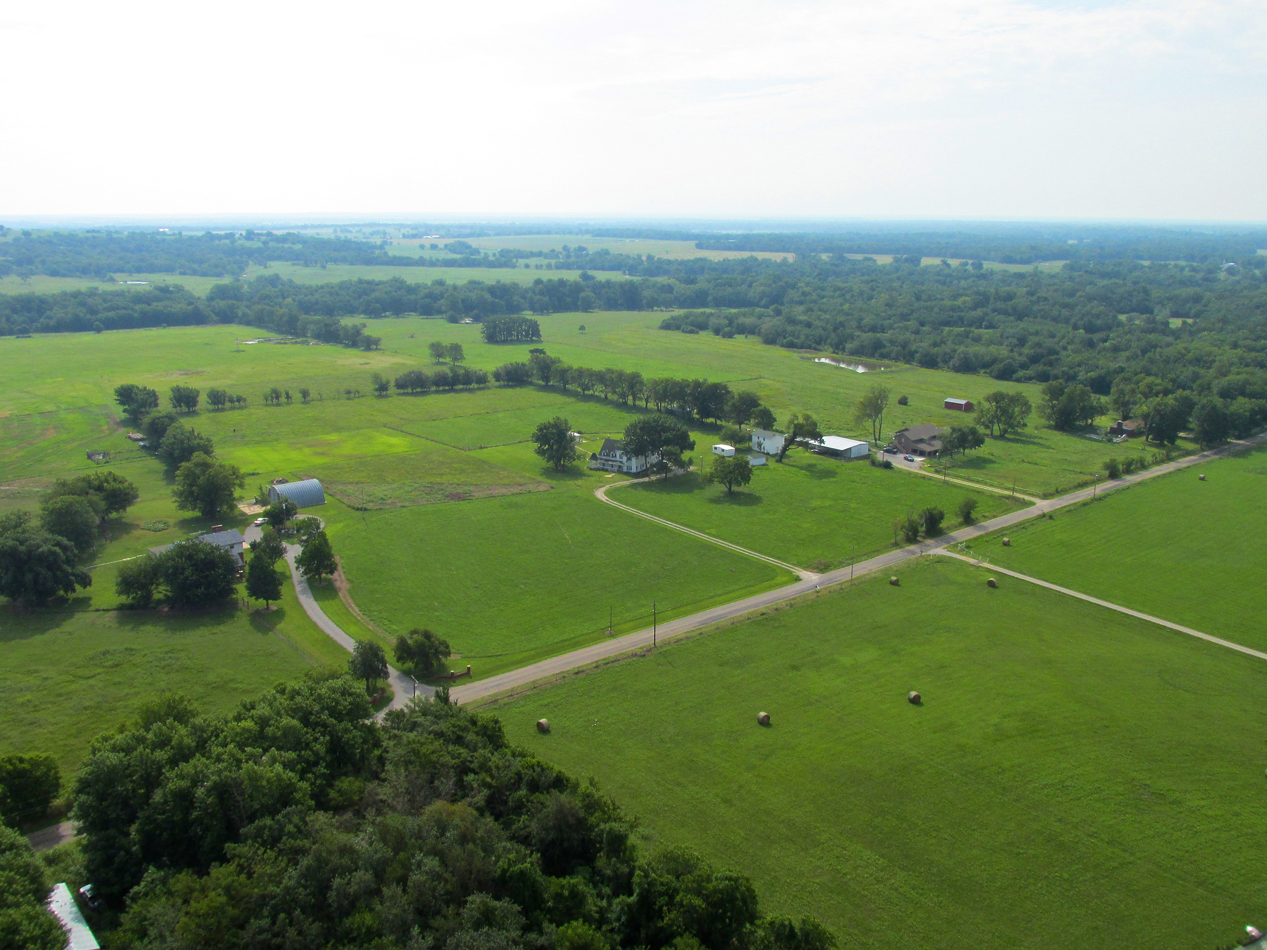
Not far Northwest of Bartlesville things thin out rapidly. Here is a nice ranch.
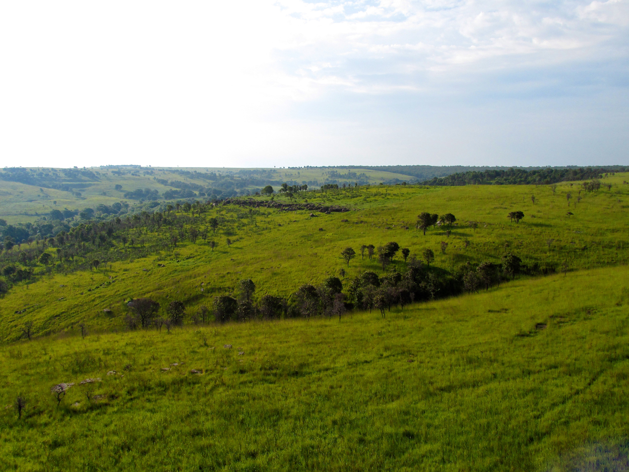
Not much farther yet, nobody is around. Here is a ridge to cross before things start to flatten out.
How nice is this! A “GlennView” looking Northwest from Ultralight FL 10.

This is the second time I have seen a tree growing up through an abandoned silo. The other time was in the Flint Hills.
Back In Kansas
Cedar Vale, Kansas from about 75′ AGL looking North.
Cedar Vale under my right wing looking Northeast from 75′ AGL.
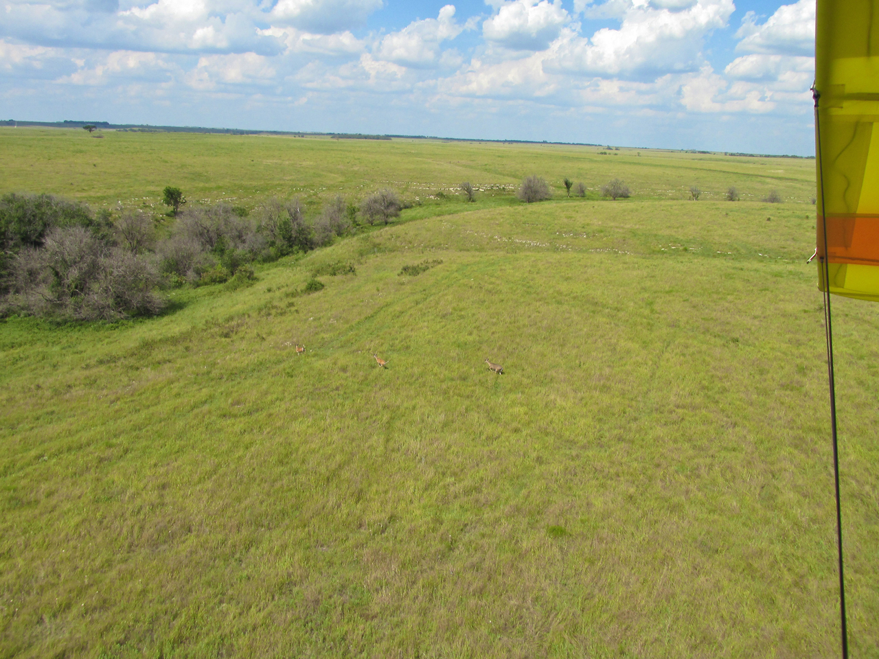
Wildlife Sequence!
Just as I was about to cross the country road you see below, I spied 4 deer standing near that barren tree. Even though they were heading West and I was heading Northwest I decided to give chase.
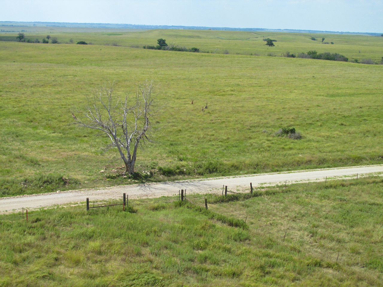
This was taken as quickly as I could get my camera in my hand. Three of the herd took off together and I followed them. The forth one can be seen partially obscured by the tree near its top left branches.
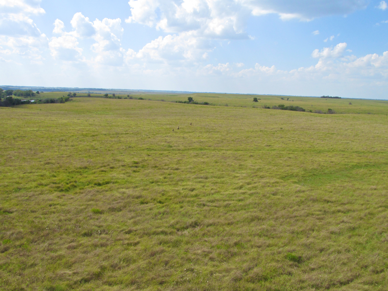
The threesome at a full gallop trying to lose The Sky Surfer.
After lighting off my afterburner, I drew closer.
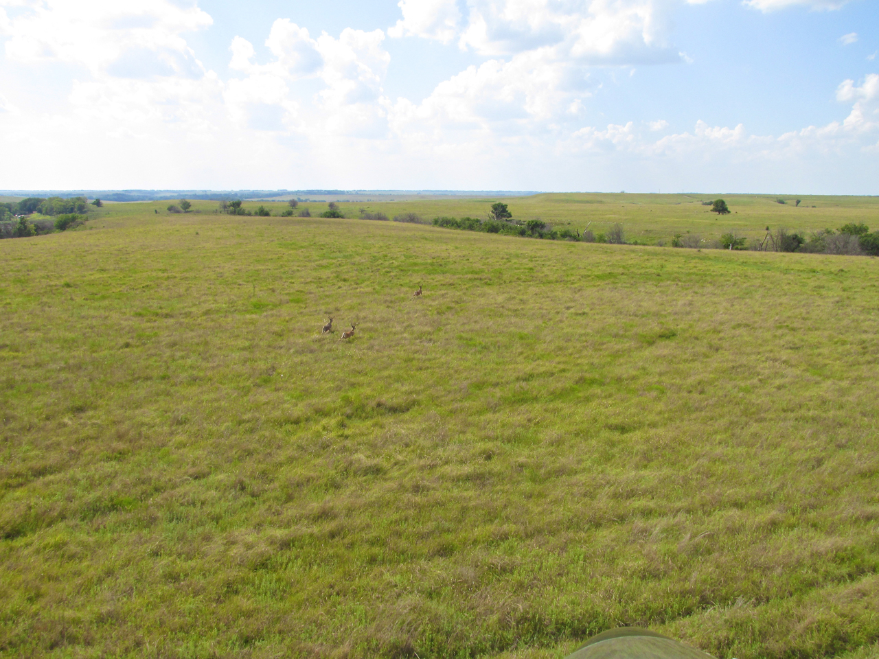
About to overtake them. You can see the “Tail End Charlie” is completely in the air.
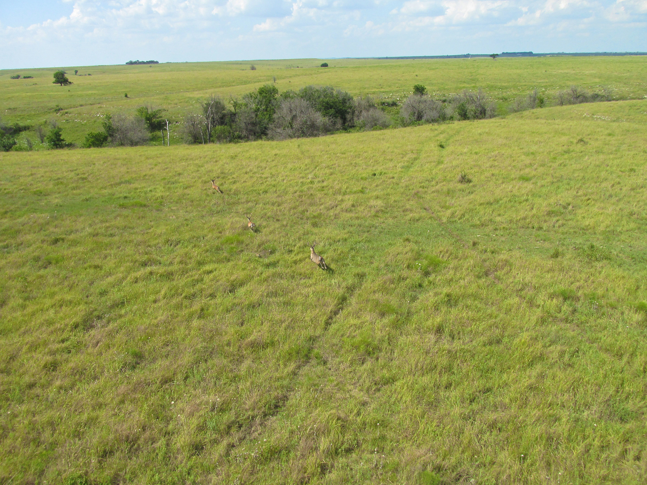
Suddenly they cut right to escape into a ravine. This was good because as I began to pass them, I needed them beside me to get a clear camera shot.

The final photo shows them bounding into the relative safety of the tree lined gully.
Thoughts On WWII
It seems like there is no end to the interest in World War Two. Authors keep cranking out books. Movies continue to be made. In my life, I have read and watched thousands of stories and documentaries about it. For me (as you might suspect), most have been about the Air War. I know it is not the same but when I chase deer or coyotes out on The Plains, I get a rough idea what it must be like for ground troops to be caught out in the open by attack aircraft. The advantage is decidedly in the warplane’s favor. Ground soldiers are exposed to aviators even when trees and terrain shelter them from opposing ground troops in the area. Of course with the right equipment and training, ground fire can be quite effective against aircraft. Nevertheless, if I were in a war, I would definitely prefer being airborne.
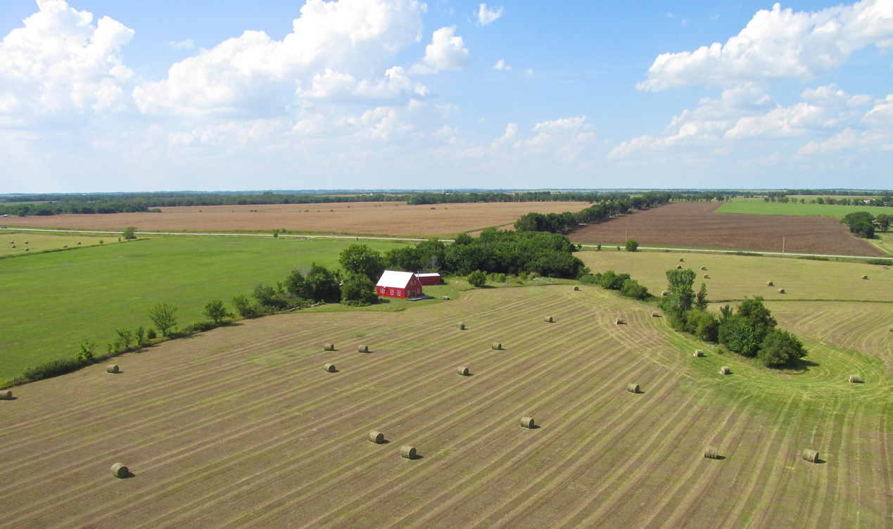
Scenes like these make you want to be a Farmer.
Take A Break
I had been flying for two hours and saw a nice meadow so I dropped into it to take a break and shoot a few pix of the plane. They all turned out great but the one below speaks the loudest.
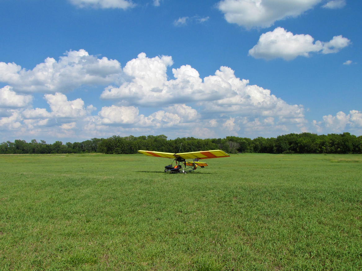
I think I will put this shot in my office. Quicksilver should want it in their advertising…
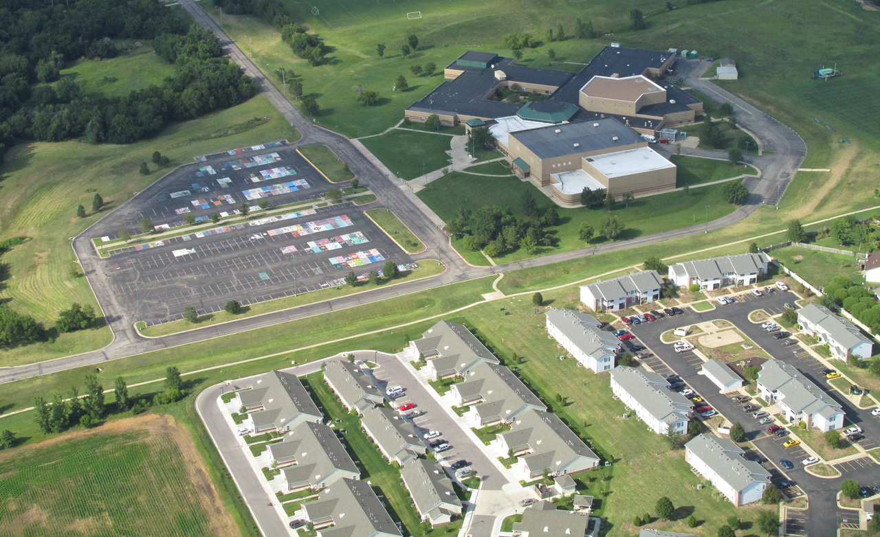
The High School of Mulvane, Kansas. I couldn’t find anything definitive about it but, the chalk paintings in the parking lot have to be Senior Spots.
In The Neighborhood
Those of you who have read a few of The Sky Surfer’s stories are probably aware that Mulvane, Kansas is almost in the pattern of Surf’s home field Blue Sky Ranch & Aerodrome. So by the time I took the Mulvane High School picture I was near the end of the journey. I looked over my head at the fuel tank and noticed I still had some gas left and decided to stay airborne 10 or 15 minutes longer. Combine that situation with an eye that never stops seeing “photo ops” and you get the next series of shots…
Looking due North from 1,000′ AGL from just North of Mulvane. Derby, Kansas is the town you see in the middle of the photo.
The day’s “Art Shot” shows the beautiful, cloud-enhanced blue sky reflected in the Ninnescah River below.
Blue Sky Aerodrome is 5.3 miles from the South End of McConnell Air Force Base‘s runways. Here you can see the twin runways as they appear from a mile East of Blue Sky at 1,000′ AGL. Derby, Kansas is at the center right of the frame.
Providence Doesn’t Always Bring Happiness
Sometimes The Truth Hurts. When that happens, the best advice my Dad gave me is “to grin and bear it”. Here’s what I learned from the Sky Surfer Selfie taken at the end of the Oologah Sky Safari…
Prior to publishing this piece The Surfer was thrilled to open a new purchase from The Sportsman’s Guide. When The Sky Surfer drops into a town, he is in the habit of carrying a number of items around with him – cameras, notepad, goggles, ear muffs, etc. After about his first 10 Safaris, it finally dawned on him how excellent it would be not to have stuff cluttering his hands and hanging from his belt like a traveling peddler of old. He decided to get one of those “belly bags” he had seen. He found one at Wal-Mart the previous year and put it into immediate use. He was quite impressed with himself. It worked great. Now his hands were free and he could easily pull stuff out of it while exploring. But… As you will see, utility is not always the most important requirement….
(Return to the scene of Surfer opening the package from Sportsman’s Guide)
Surfer had reasoned that if a medium size belly bag was good, an extra large one would be even better. Sportsman’s Guide had one and after patiently waiting some days for delivery, he was able to pull it out of the UPS box with great joy. True to the catalog, it had loads of extra sections and pockets and was built “mil-spec” tough. Sky bounded up the stairs of his beach house to show his Beautiful Wife Debra this marvelous new piece of Sky Surfing Attire.
Her lightning fast response (combined with a “crinkled up nose” look of distain) was, “What’s That?”. Every time Surf has heard her use this phrase in that manner, it is not a good thing. Not convinced they were on the same topic, he pressed on. He put the bag around his waist to show her how it worked and how it would be used. He turned this way and that using his hands and body language to demonstrate this fine piece of equipment. All the persuasive techniques Surfer had seen employed by the top QVC models and salesmen were employed in force. All to no avail. Finally, all the wind came out of the Surfer’s Salesman Sails with her final pronouncement, “It makes you look like an old coot” (Frankly she probably said “Old Dork”). The shock of the moment was so severe, Sky Surfer is still reeling. To be exposed as “looking bad” – FOR A YEAR – fried all his “mental self image” circuit breakers. Yikes!
Even in advancing years, The Sky Surfer is inordinately concerned about his appearance. The mere inkling of the remotest possibility of The “C” Word, or worse, The “D” Word being connected in any way with his vaunted self image caused a micro-second-moment of ego deflation colossal enough to destroy any lesser Super Hero.
Reaching deep with his last ounce of strength, The Sky Surfer employed the only device in his arsenal able to shield himself from this onslaught – Total Rejection. Even though Surf had learned decades earlier to trust the sartorial choices Wife Debra made for him, in this case she was obviously wrong about his beloved belly bag. He knew he was on track. She was obviously off her game. He graciously thanked her for her (mistaken) opinion and confidently left the living room for his home office with every intention of employing the new and improved belly bag for Sky Surfing Season 2015.
That’s when Providence slapped him upside the head.
Prior to heading upstairs to model “the bag” for Wife Debra, Surfer had started a download at the workstation containing the pictures for this Oologah Report. As it would happen, the closing shot of the report (seen below) was dead center, fourteen inches wide on his HD computer screen. YIKES! The brightly colored image screamed in dissonant harmony, “Coot AND Dork!”.
Man. The bag’s gotta go. The Sky Surfer is now seeking a backpack!
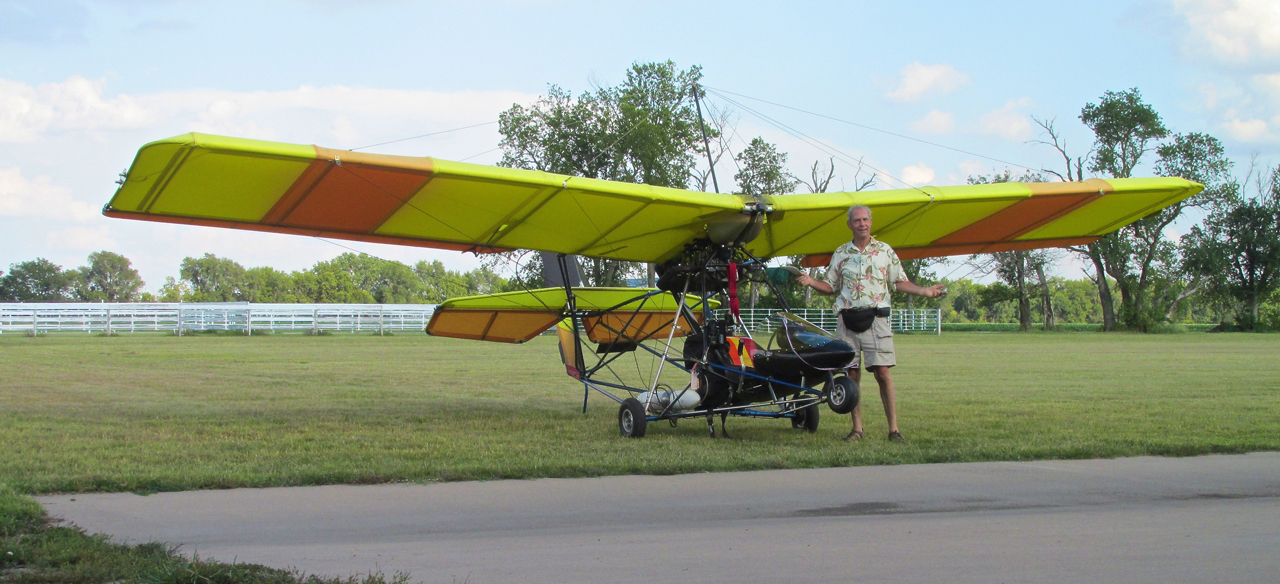
It could have been Just Another Sky Surfer Selfie.
Requiem
OK, so how come Will Roger’s Wife never busted his chops about wearing that goofy hat in the famous picture that opens this story? Millions of people have seen him looking like that.
On the other hand, what if she did tell him and he wore it anyway?
Hmmm… I gotta think about that.
Blue Skies & Tailwinds!™
Brian FitzGerald – The Sky Surfer
PS: My “Eagle Eye” Award goes to Dennis Scarberry for correcting an egregious error by The Sky Surfer. At least when I make a mistake, I don’t fool around. In this case, I’m talking about misspelling THE NAME of my destination. Throughout the article I had been spelling it “Oologaw”. Dennis informed me it is “Oologah”. Yikes!
The article is updated now…