Pawhuska – White Haired Chief of The Osage
While scanning the map for interesting destinations, a town with the name “Pawhuska” caught my attention. It is a town in Oklahoma within my Ultralight Range AND it has an airport – prime elements for a Surfin’ Safari! The town was named after an 18th Century Chief of the Osage Indians. It is definitely the type of place I like to visit. The only downside was that the airport is 3.8 miles from town and there is no gas available on the field. Walking into town is one of the charming aspects of my Ultralight Adventures but thus far I had not needed to make a walking trip of that distance. The walk itself was not the main issue but when carrying two gas containers on the trip back, packing them nearly 4 miles would be a true test of endurance. I was prepared to do this if necessary, though.
Due Diligence
Before flying to any town I have not been before I gather as much data from The Web as I can. I like Google Earth because it provides an actual photos from space of towns and airports. Another resource website is AirNav.com. That site gives you all the data you would need to land a jet. For me, though, what I need are pattern turns and telephone numbers for the field manager. Many of these fields have a car they let you use to drive into town but that fact is not listed on AirNav. I always call the manager of the field to state my intentions and to see if there are any special concerns. Even though the fuel availability is listed on AirNav, I always double check. Because Pawhuska Municipal was so far out of town, I asked about a car. The manager said “Sorry, No Car”. He did say I could call and they would get a policeman to drive me in to town. I said that would be nice but I really don’t like to bother those guys while they are on duty. I asked him if there was a flat open field near a gas station that I might land in. He thought about it for a minute and said, “The Elk’s Lodge Soccer Field would be OK”. While he was telling me this I was checking the location on Google Earth on my computer monitor. That landing field would put me less than a mile from the gas station. I thanked him for the tip, looked up the number for the Elk’s Lodge (#2542) and called for permission. A very nice lady answered the phone. I think her name was Sally but I was driving my car when I called and couldn’t write it down. She thought it was a cool idea and said no problem. She would even try to bring her daughter over when I flew in to see this “open air airplane” I was describing (While in town I did not see them but maybe they came out while I was making my grand tour). With this new landing option, the flight took on a different dimension. I would still have to “eyeball recon” the field by flying low over it when I got there. Then I would decide whether to land at The Elk’s Lodge or the Municipal Air Field.
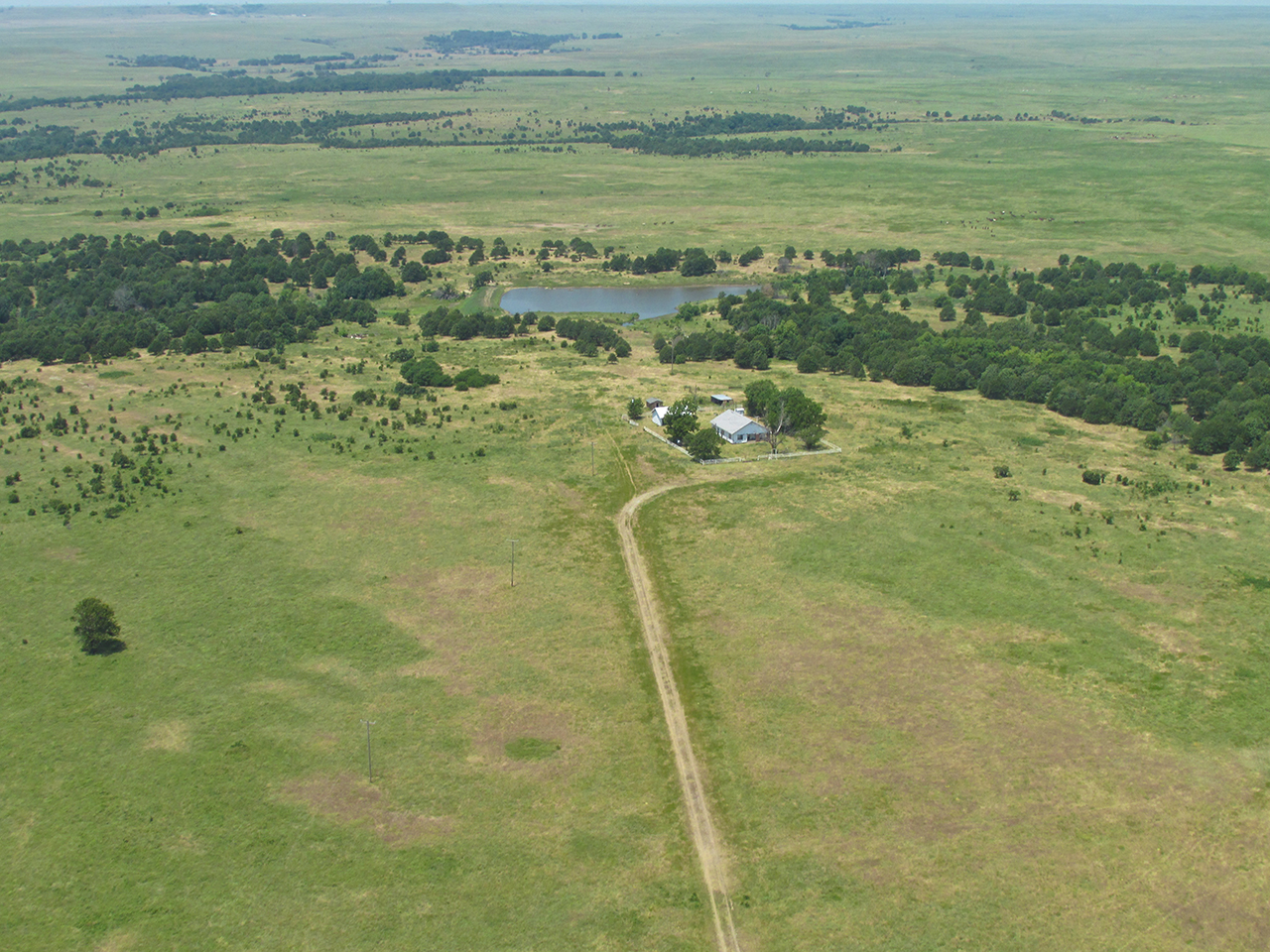
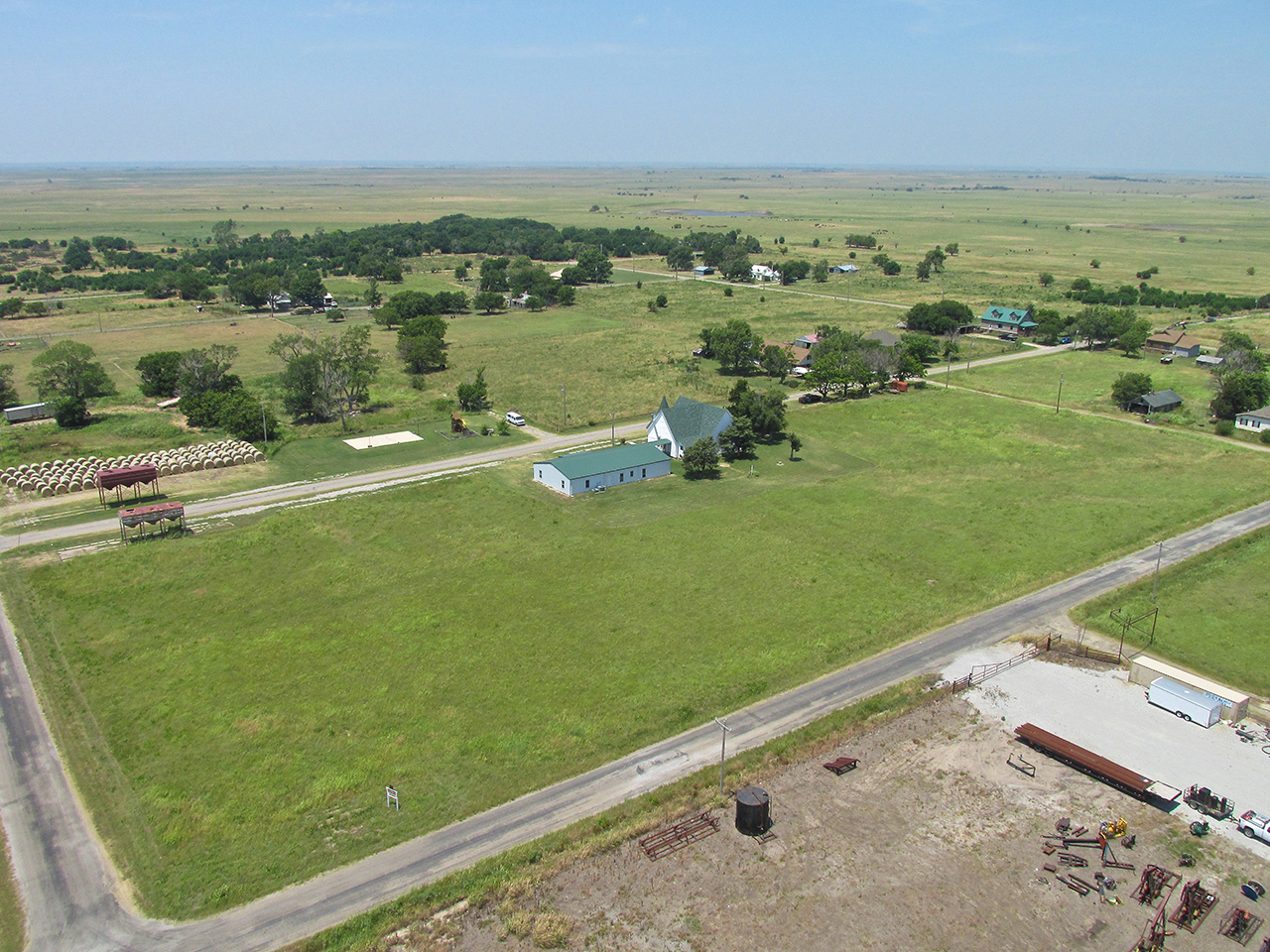
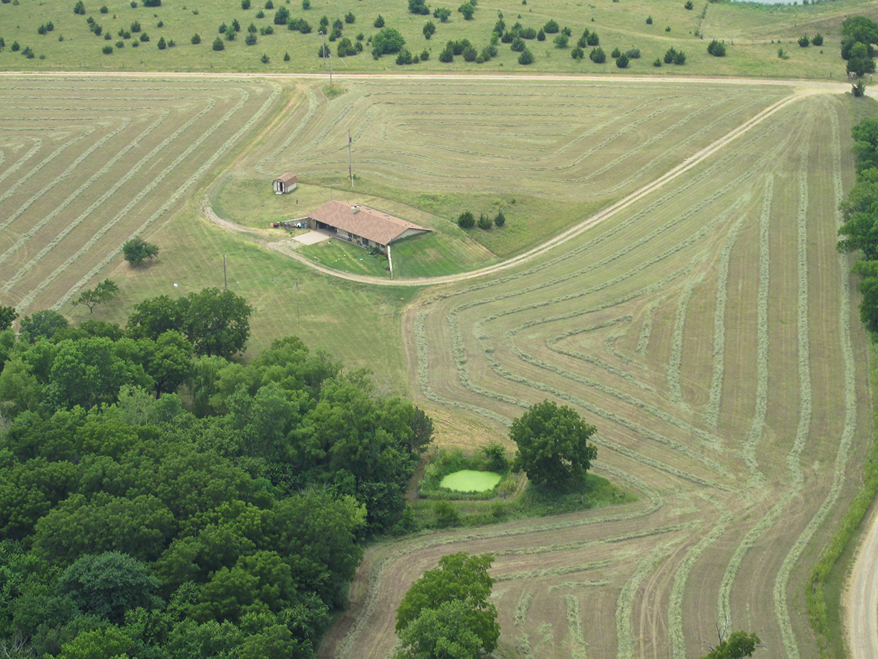
Steeds Of A Different Breed
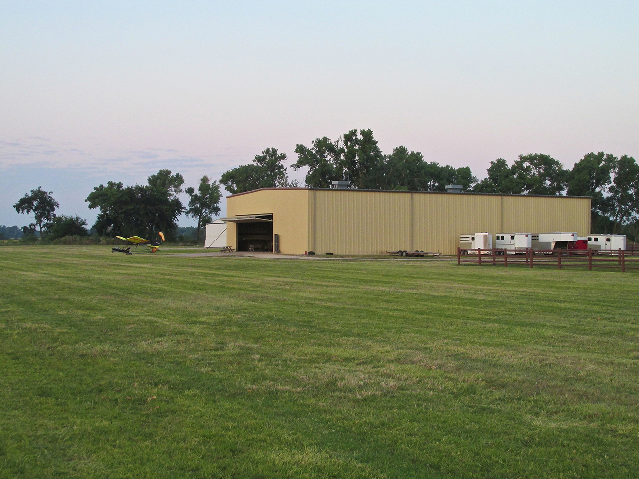
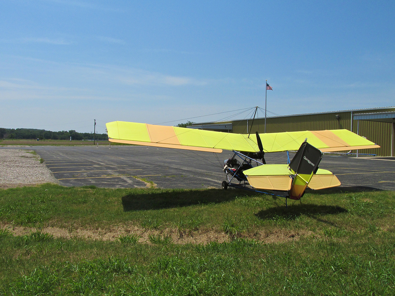
Just before taking off at dawn I took the two shots below so you can see why I call it Selby Aerodrome and Stables. It’s all about ridin’!

Airplane And Horse Stalls

Just after sunrise I pass Mulvane, Kansas. Just to see what would happen, I tried this shot into the sun. Not bad.
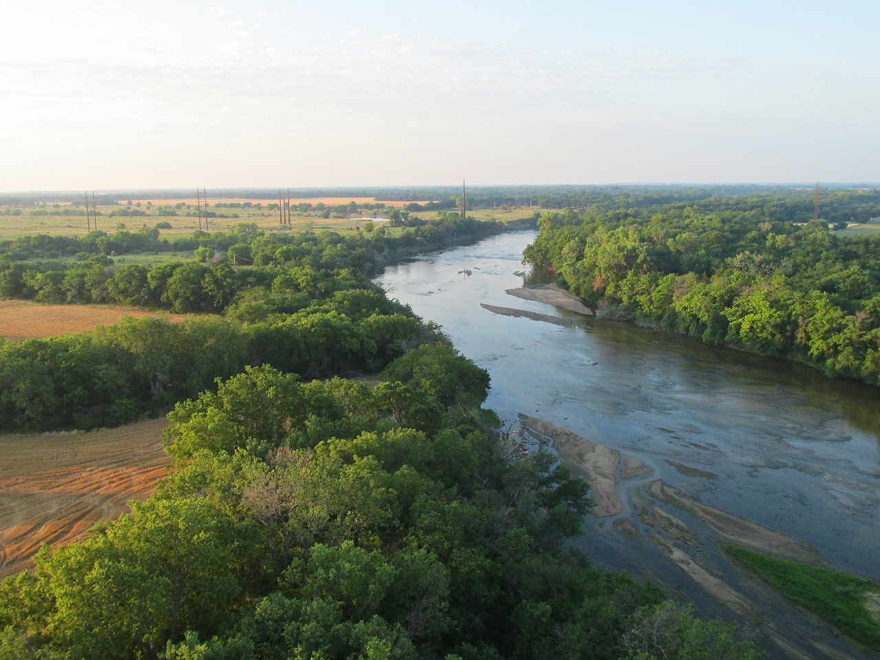
South of Mulvane I cut across the Arkansas River.
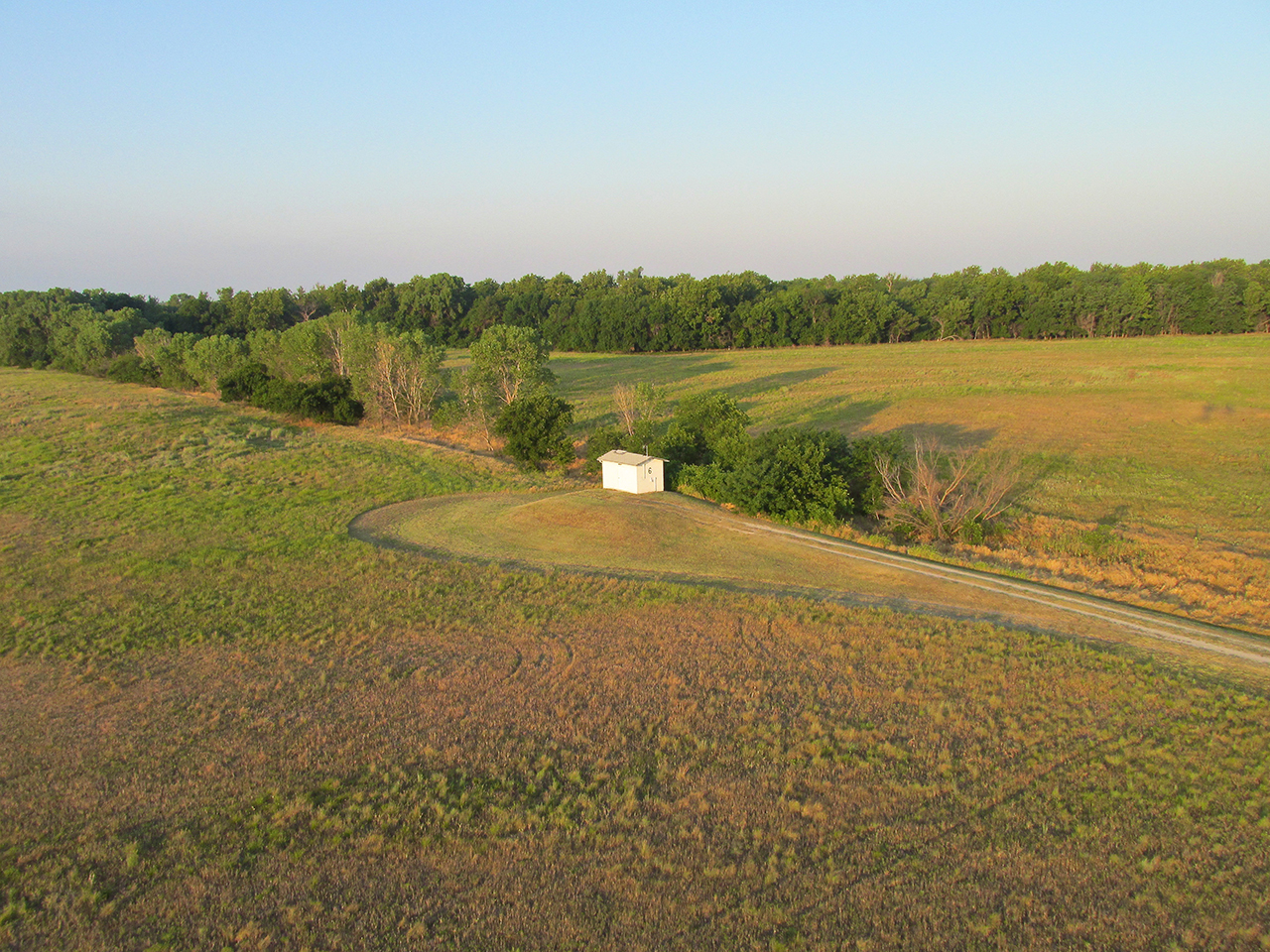
There were two of these little buildings off by themselves. I have no idea what they are.

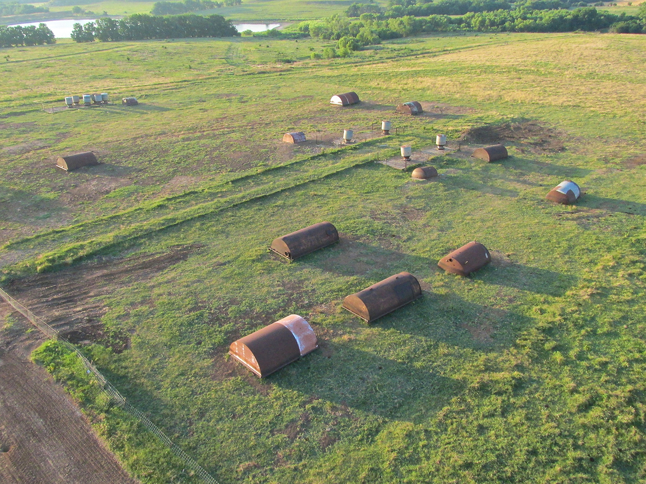
This enterprise seems to be taking old boilers or tanks and cutting them in half for livestock houses. I shot this under my right wing. I’m looking West from about 100′ AGL.
Moments after taking the first shot I took this one off my port bow looking Southeast. I didn’t see any animals but I would suspect this is for pigs.
Winfield, Kansas – Home Of The Walnut Valley Bluegrass Festival
I had noticed when charting my course that it went right over Winfield. At the beginning of the trip I was cruising so low I forgot about it until I noticed signs of civilization. When charting the course I figured I could trace the river through town but, now on point, I climbed a bit to make sure this would be prudent. If it didn’t look good, I would circumnavigate the town to the West.
Winfield From 300′ AGL Looking Due South
As hoped, there was a good corridor on the West edge of town and I flew over it.
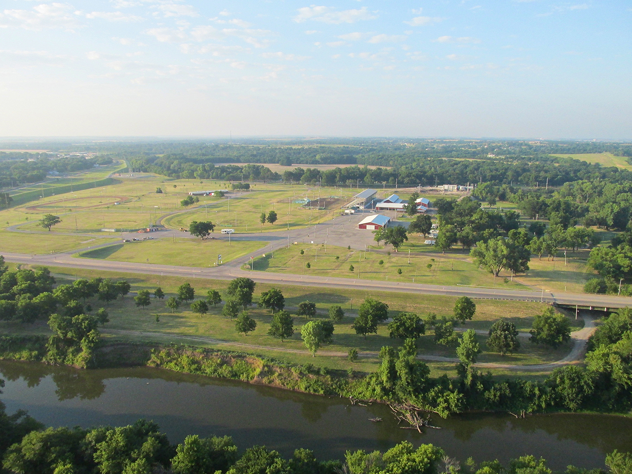
Winfield Fairgrounds
Winfield in the Rising Sun
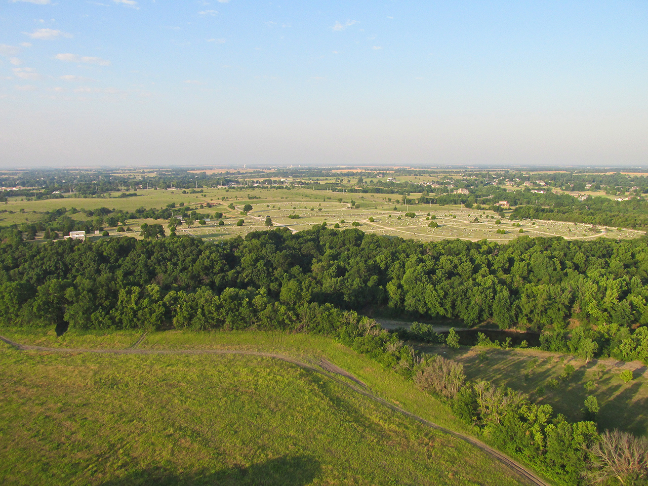
Now leaving the Southwest edge of town, Highland Cemetary is seen ahead, West of my path.
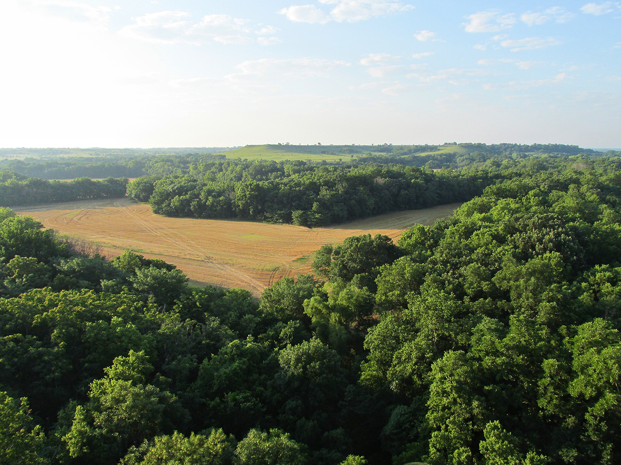
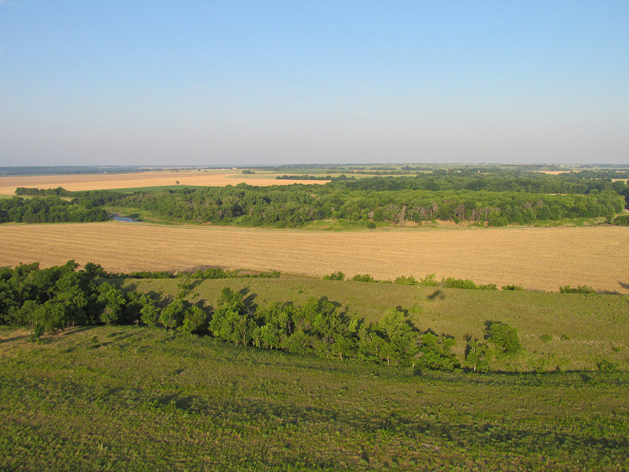
A beautiful scene about 5 miles Southeast of Winfield. In wooded areas like this I thread between the meadows so I have a place to land in case the engine quits.

50′ AGL Looking South Southwest
Still fairly early, my shadow dances along a ridge.

Suddenly I cross over these interesting rock patterns.
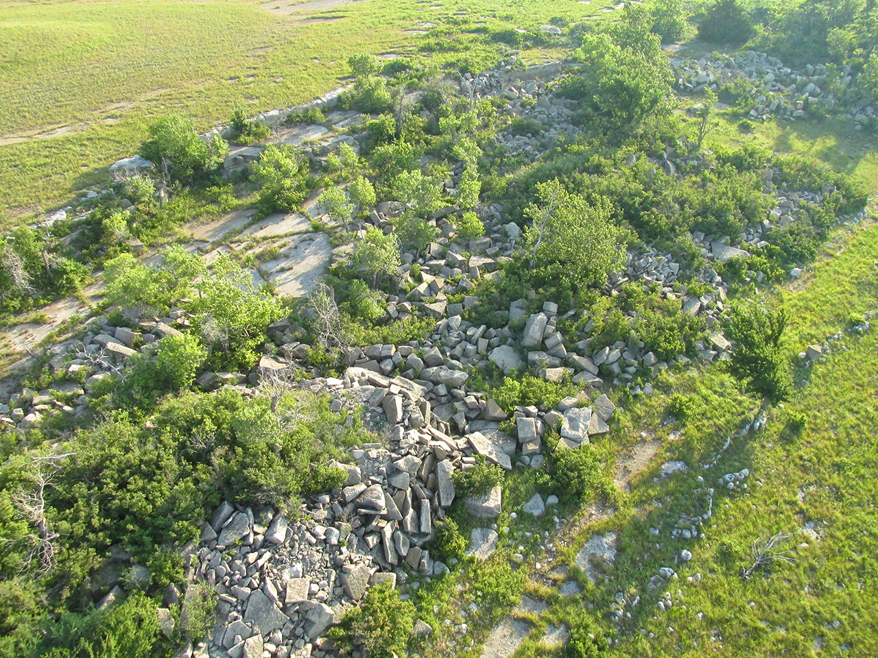
This area looks like a “non-mechanized” rock quarry from way back.
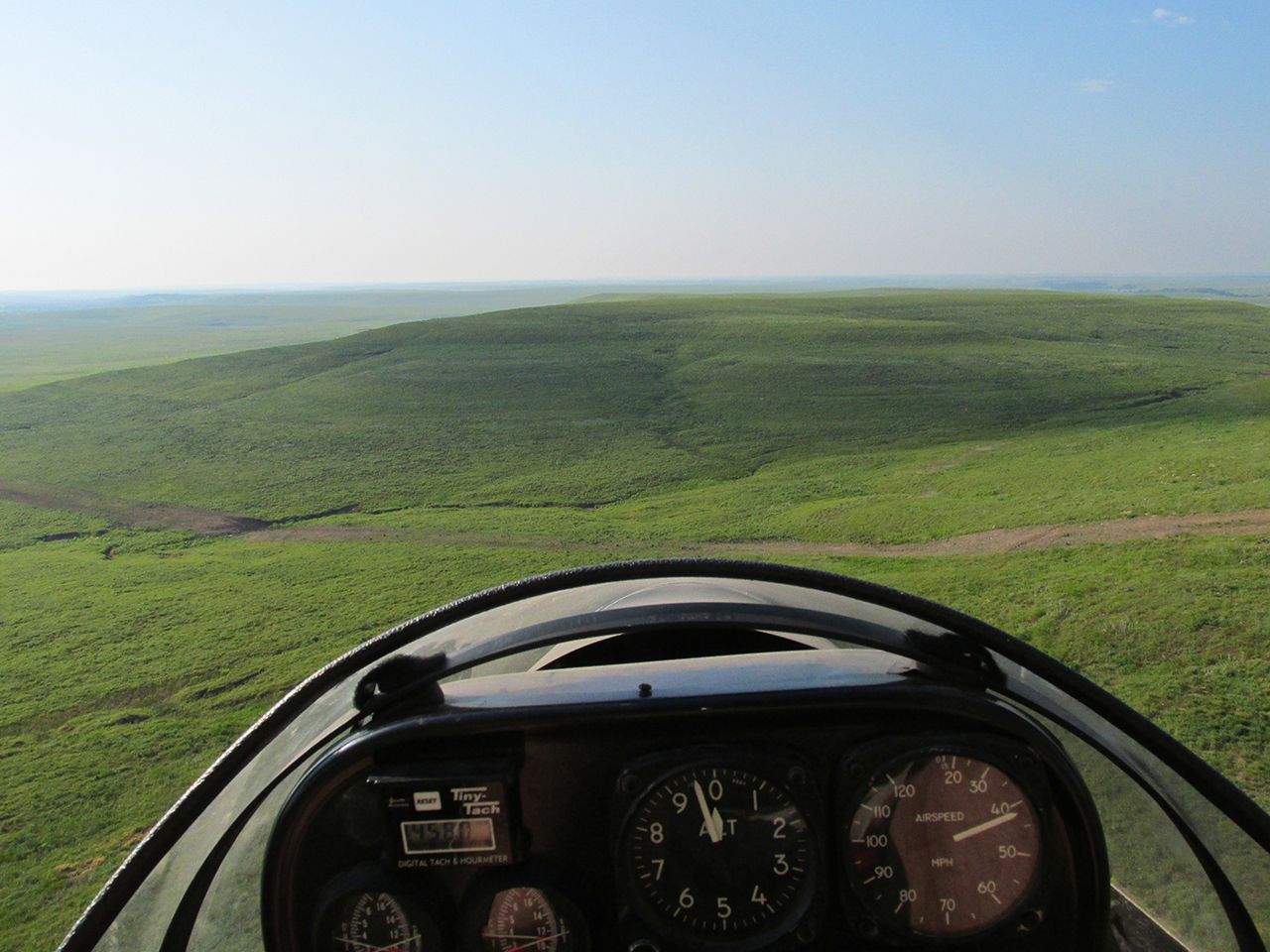
Again, the change is sudden. This long gradual rise forced me to add power to maintain the same altitude above the ground.
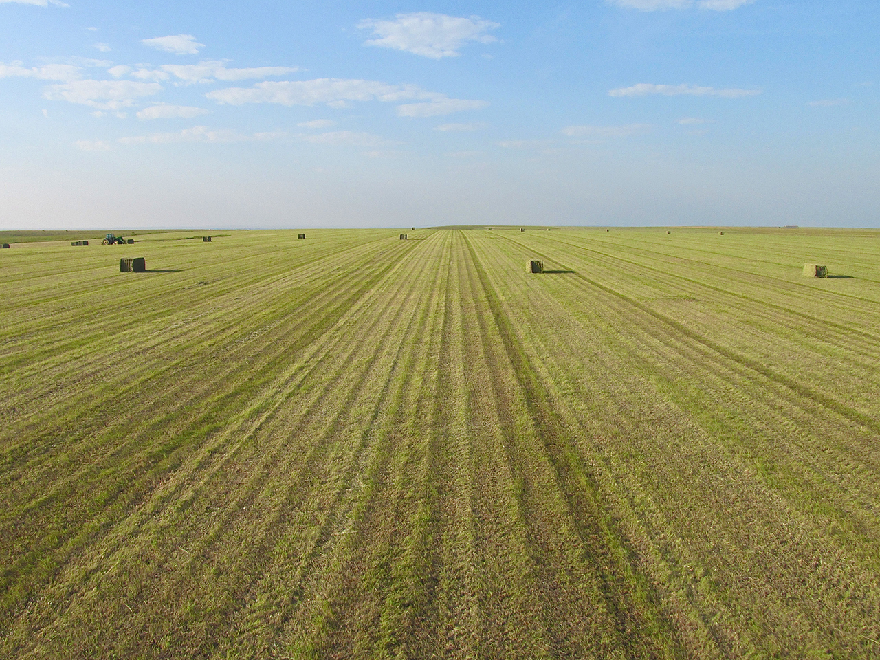
At the top of the rise was this hay field. The tractor was unoccupied even though it looked to be in action.
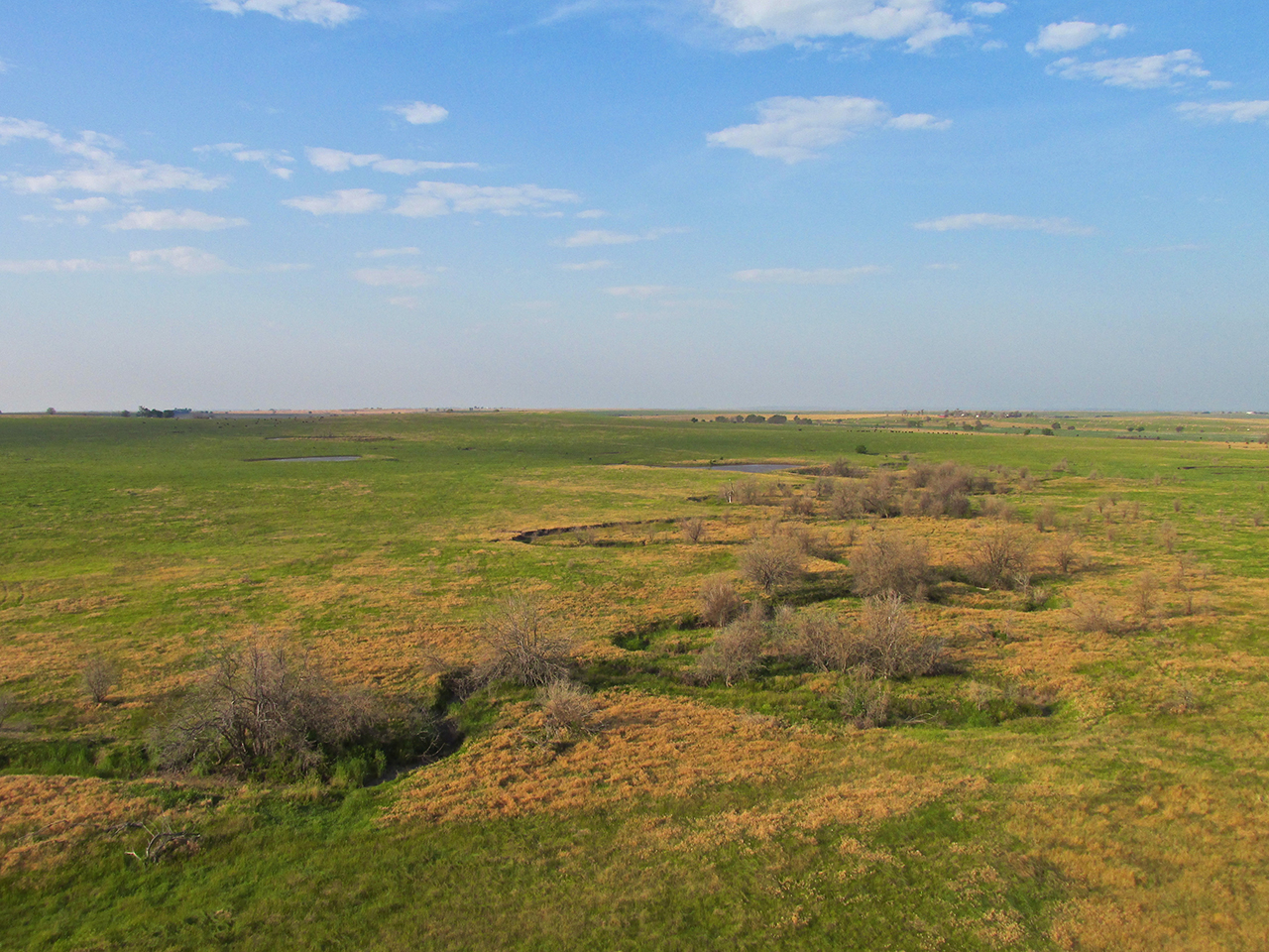
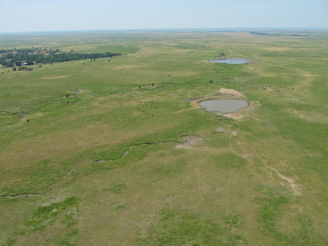
Wide Open Spaces!

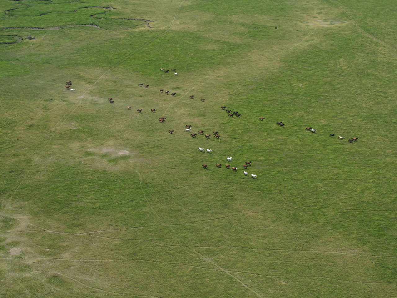
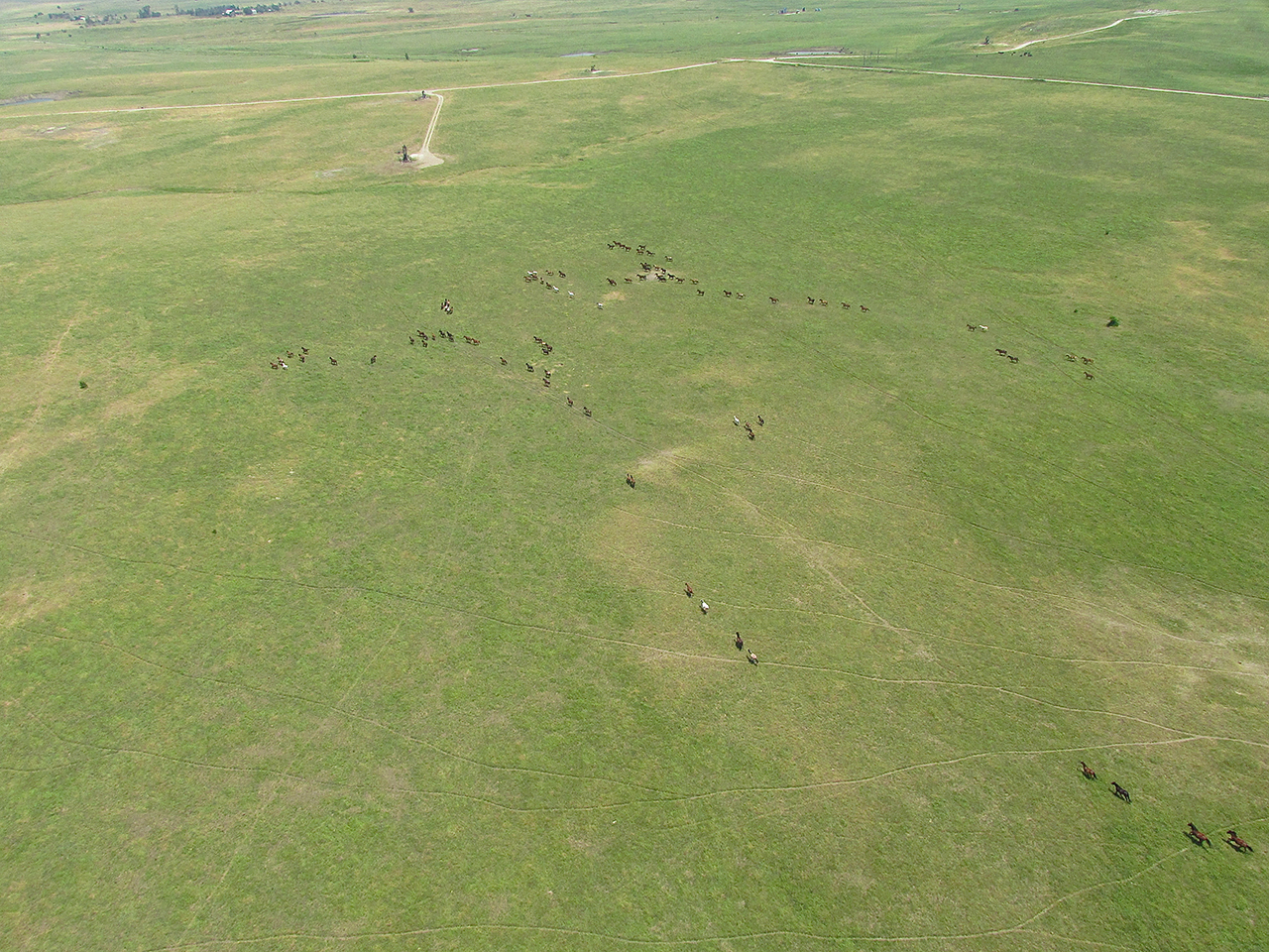
Just The Place For The Wild Cousins Of The Corral-Mates I Had Left Behind!
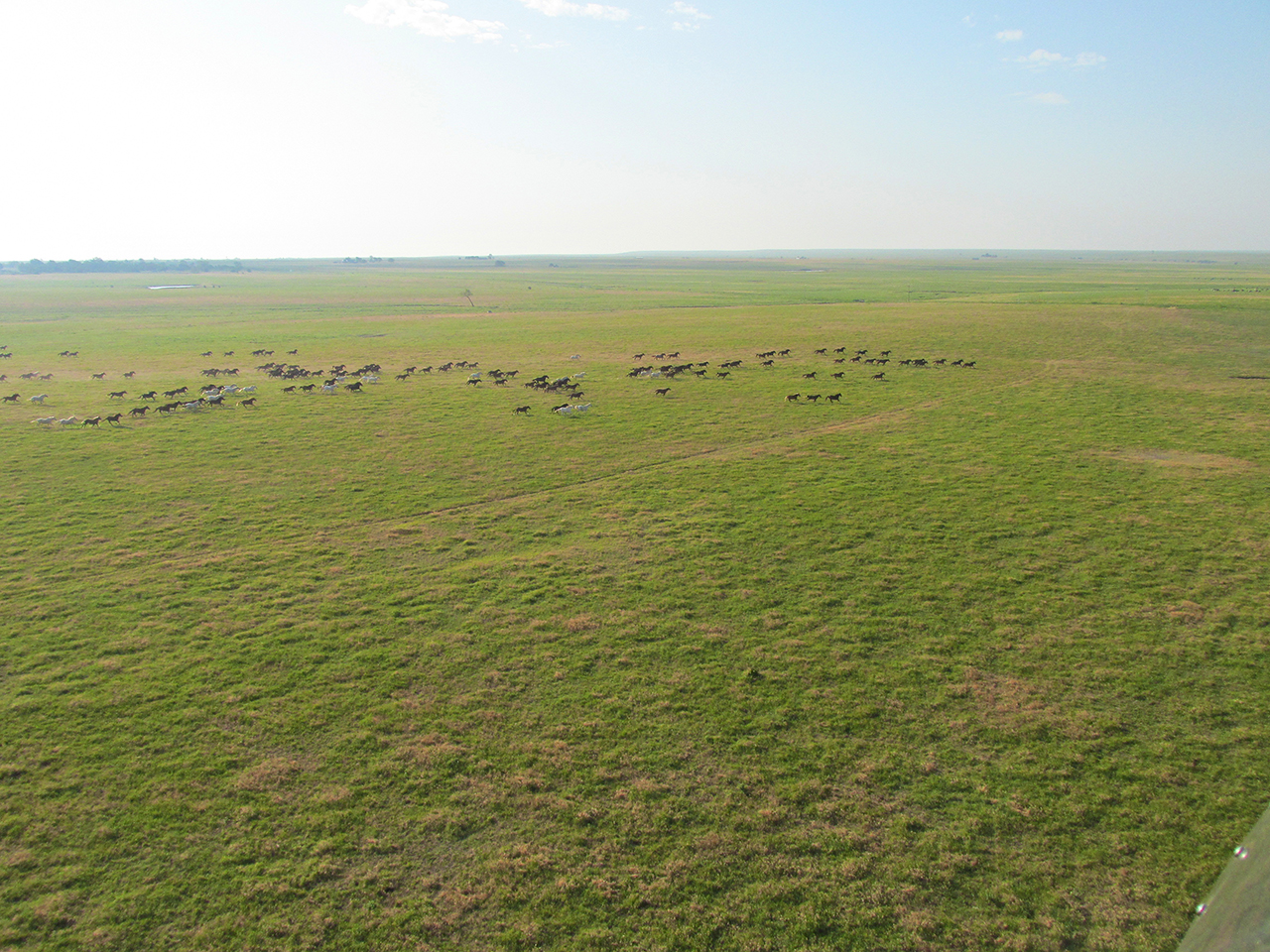
This series will show wild mustangs running toward my plane and then under it. In my encounters with these marvelous beasts I get the impression they don’t look up much. They never seem to notice me.
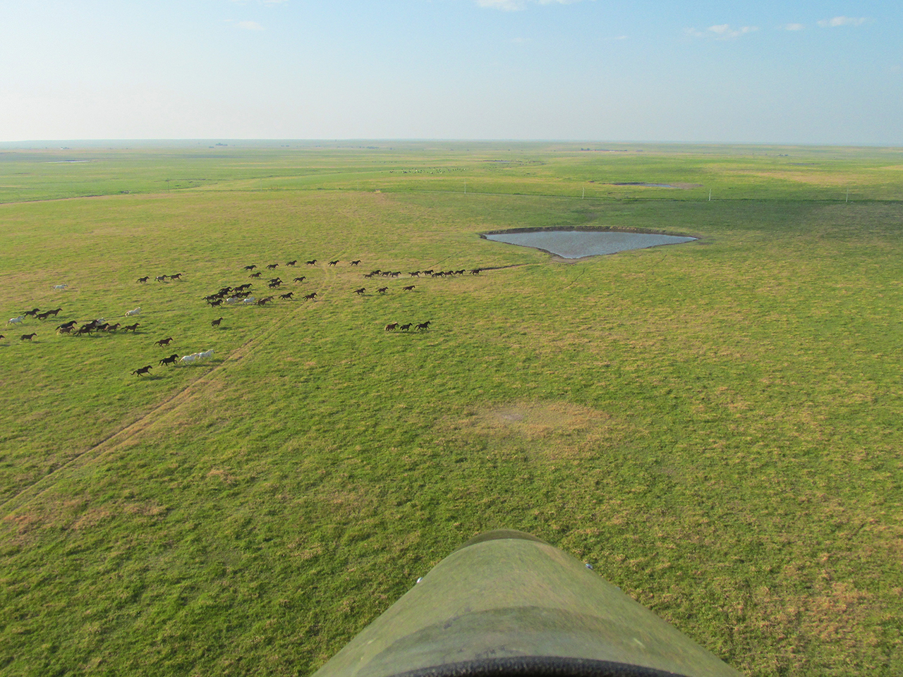
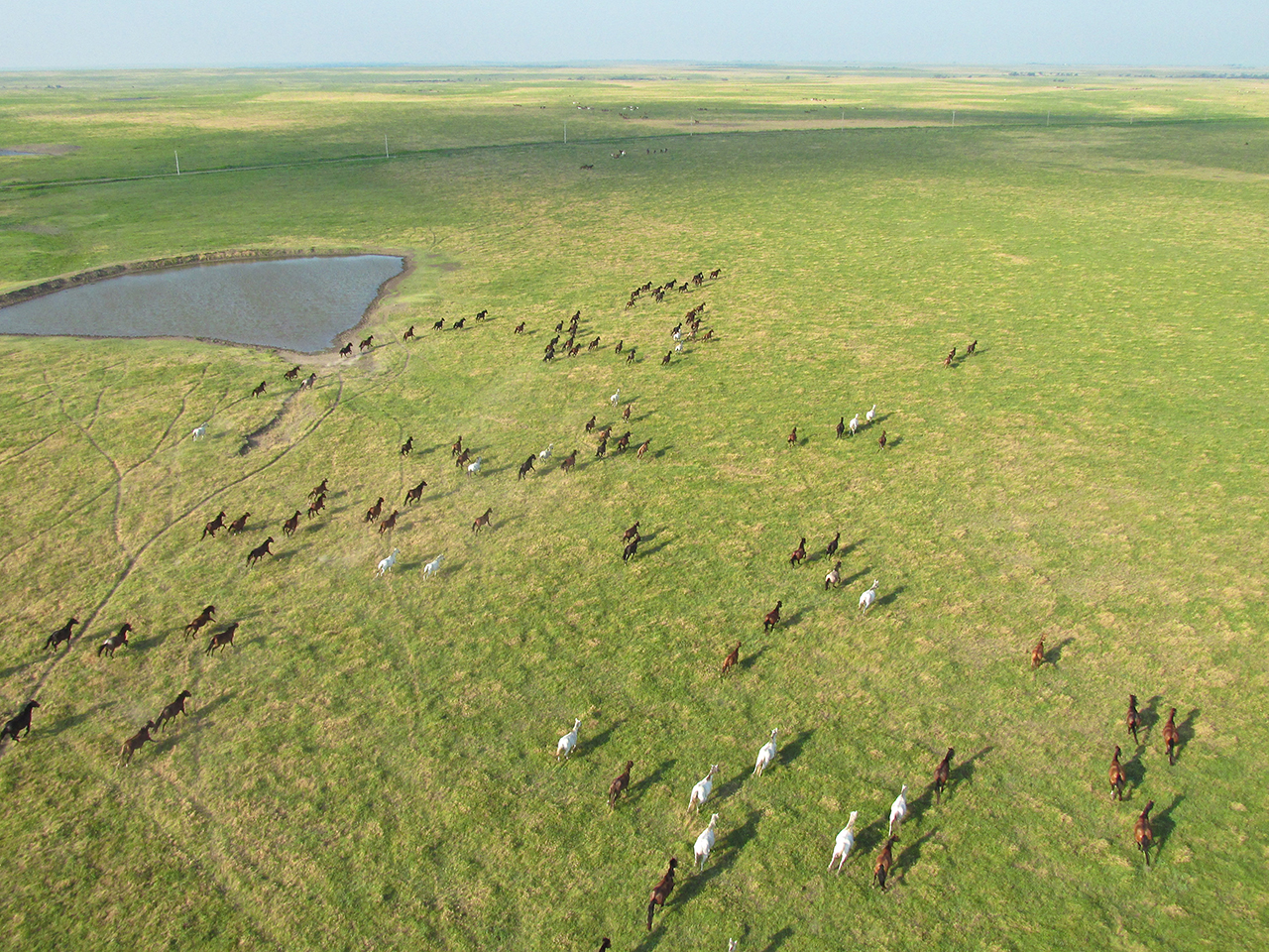
After a convergence lasting less than a minute, the herd heads West under my right wing.
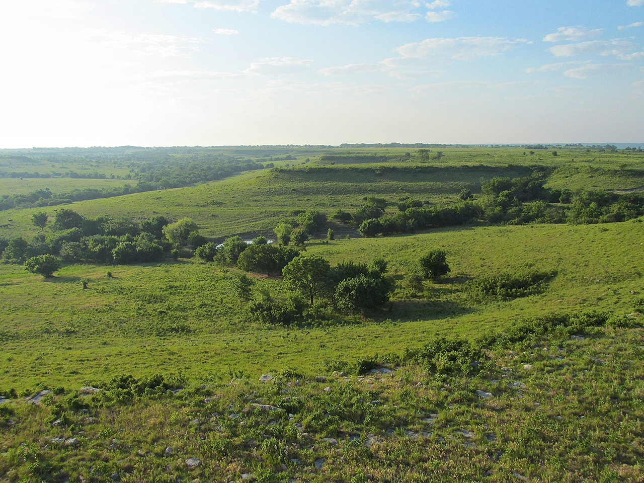
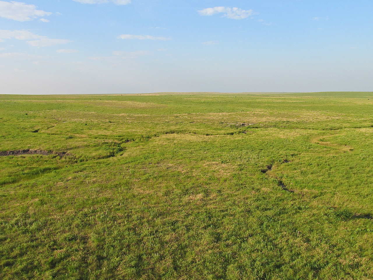
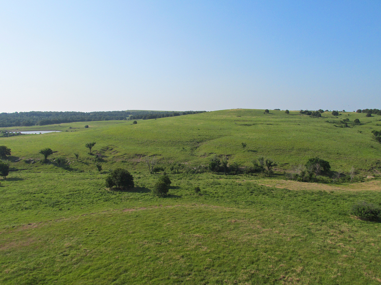
A “GlennView” shot of the rolling plateaus in this area of Northern Oklahoma.
Time To Look At The Map
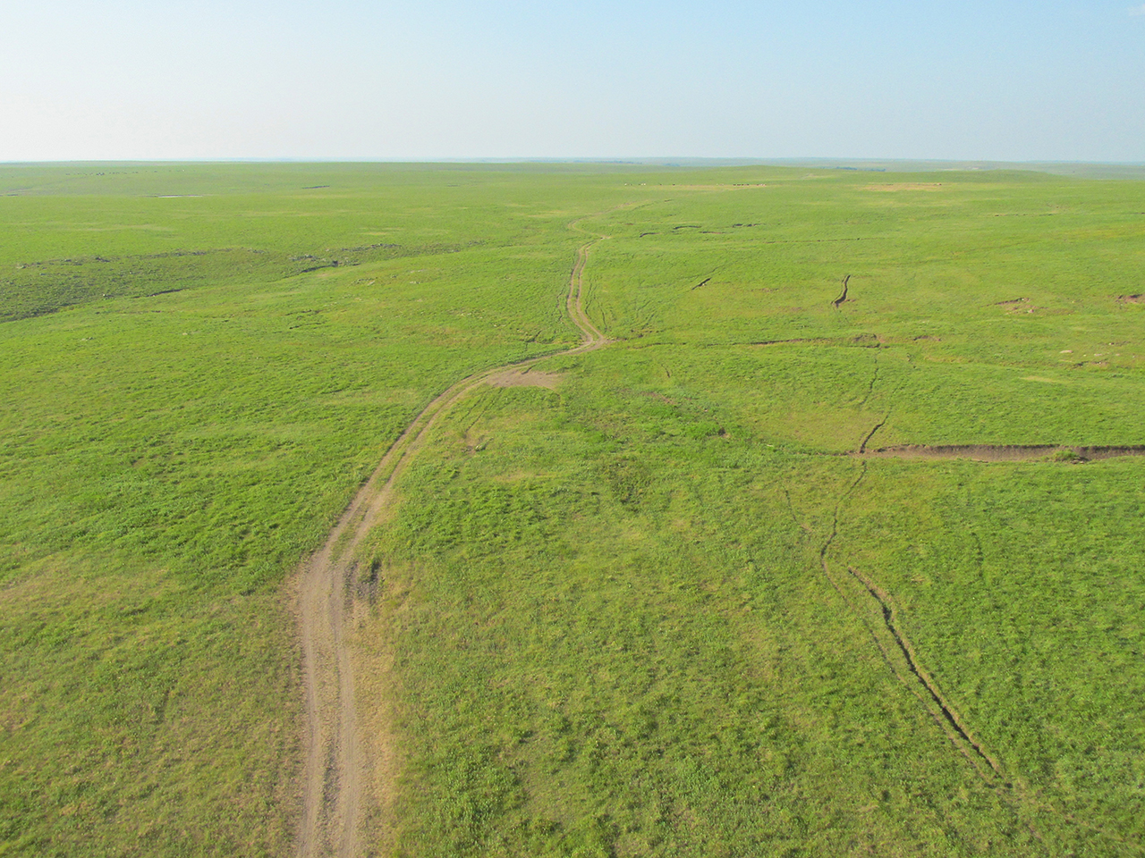
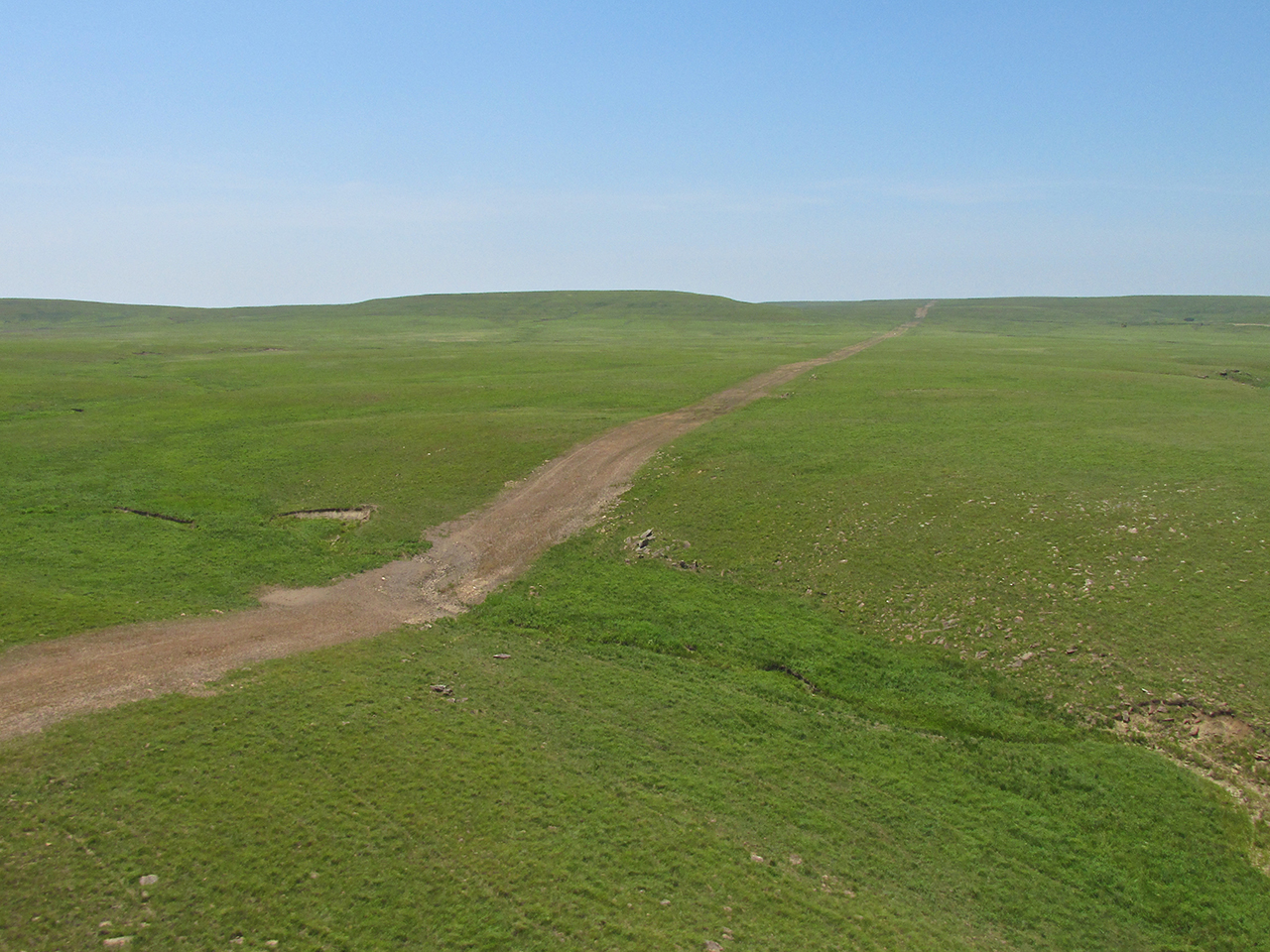
Flying by GPS is child’s play it is so simple – just follow the arrow. Flying as low as I do, though, does not allow me to see very far ahead. Occasionally I like to land and look at the map. It is also a time to stretch the legs and take in the magnificent solitude of the prairie.
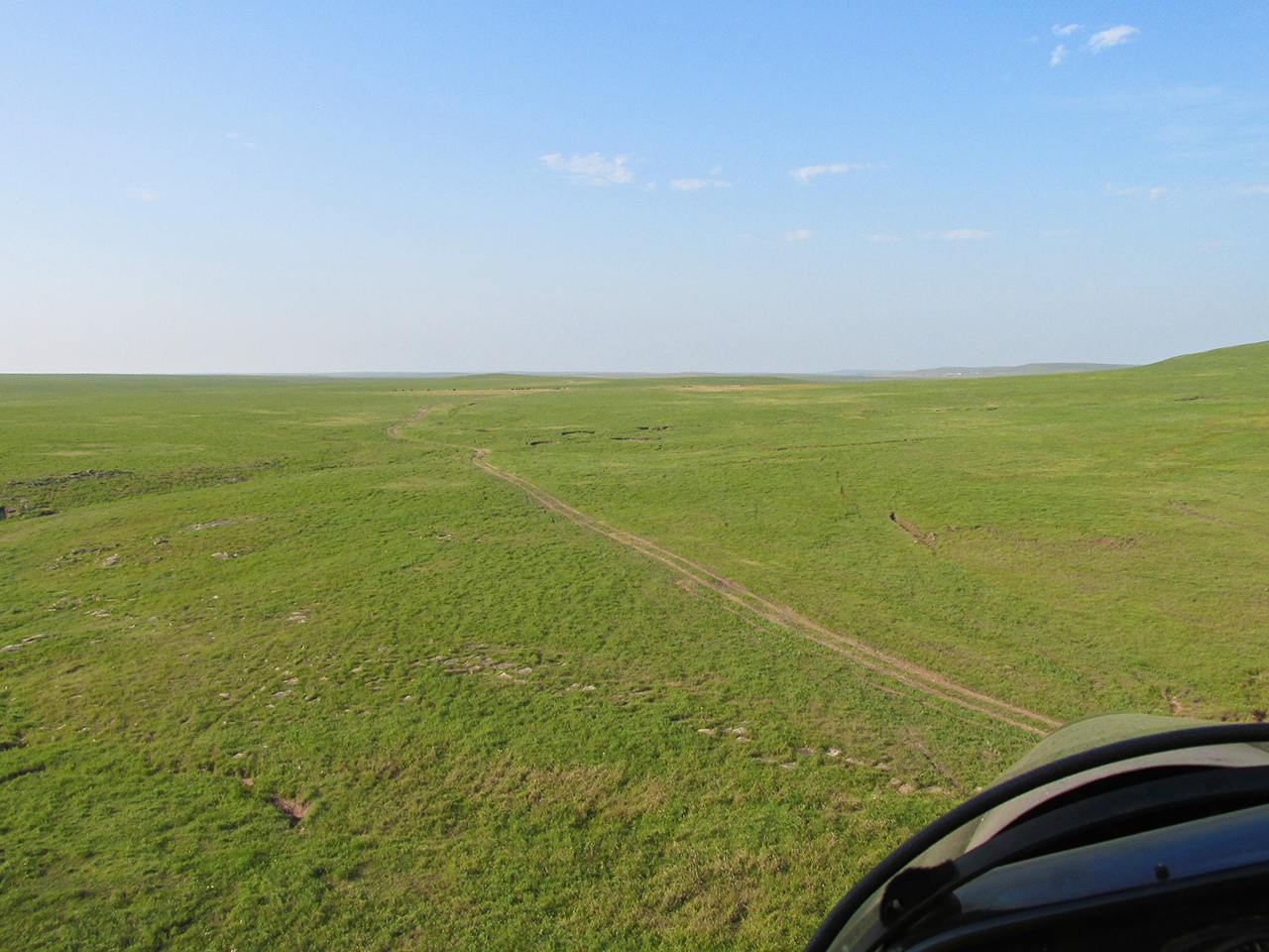
I spied a ground path below my air path and decided it would be an excellent landing strip.
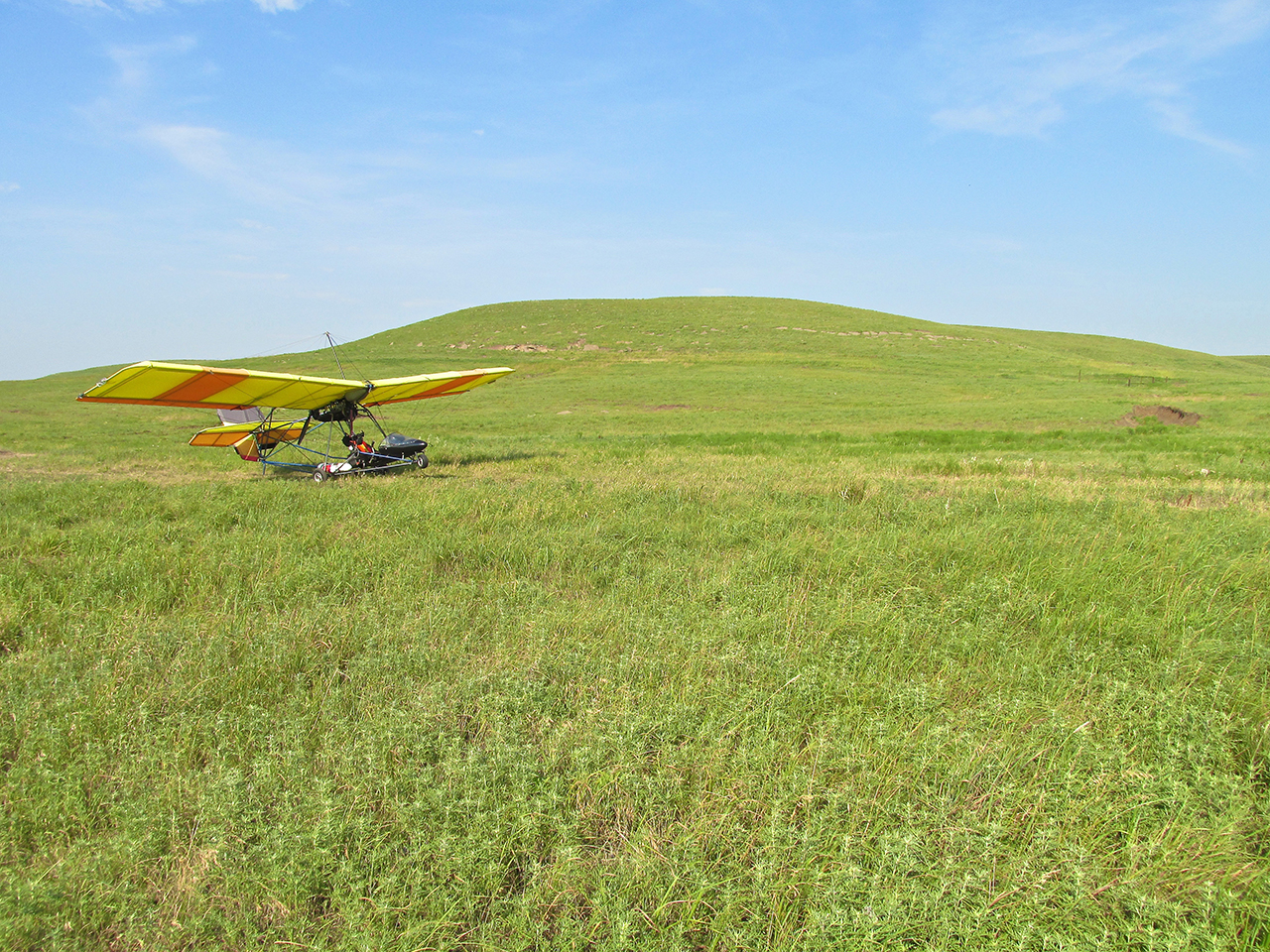
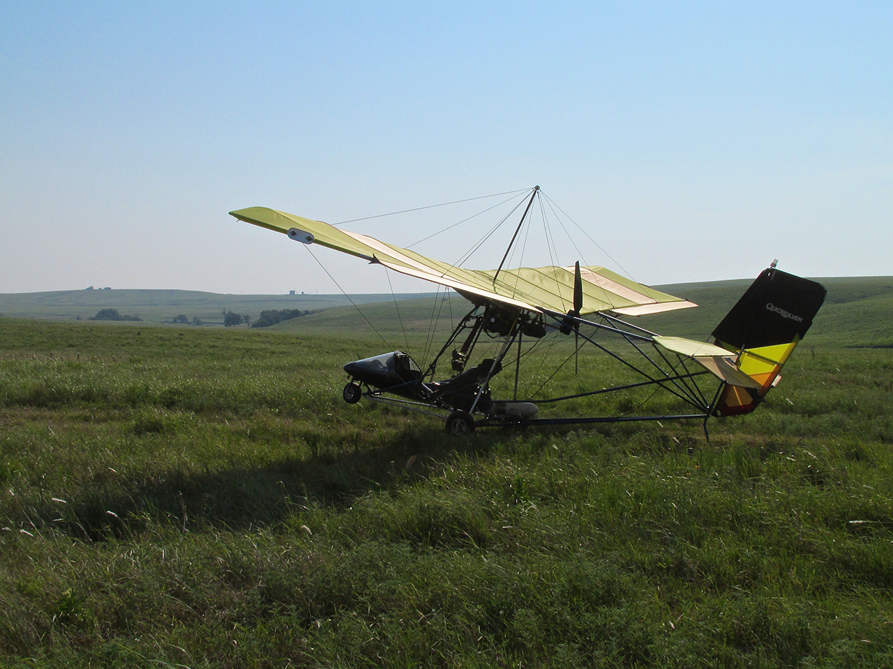
Another good reason for landing is to take photos of my prized steed in majestic surroundings appropriate to its breed. You might note that the plane is turned away from the direction of travel. I did this because the wind was about 15 mph on the ground and I did not want it to “buck” on me while I walked away from it. It stays on the ground better with the tail into the wind than with the nose into it.

Looking Southeast
This shot is going on my wall.
Short Leg Left
I only had about 8 miles to Pawhuska. When I landed, the wind on the surface was about 15 mph. The possibility it would get higher occurred to me. I figured I better get going. So after turning the nose back into the wind, I started the trusty Rotax and strapped in. While making last minute checks prior to takeoff I noticed the different tracks in the dust of the road ahead of me. With the motor running I did not want to get out of the seat but I really wanted the picture so I shot it sitting in the plane. The variety of impressions in the dirt tells an interesting story of recent history.
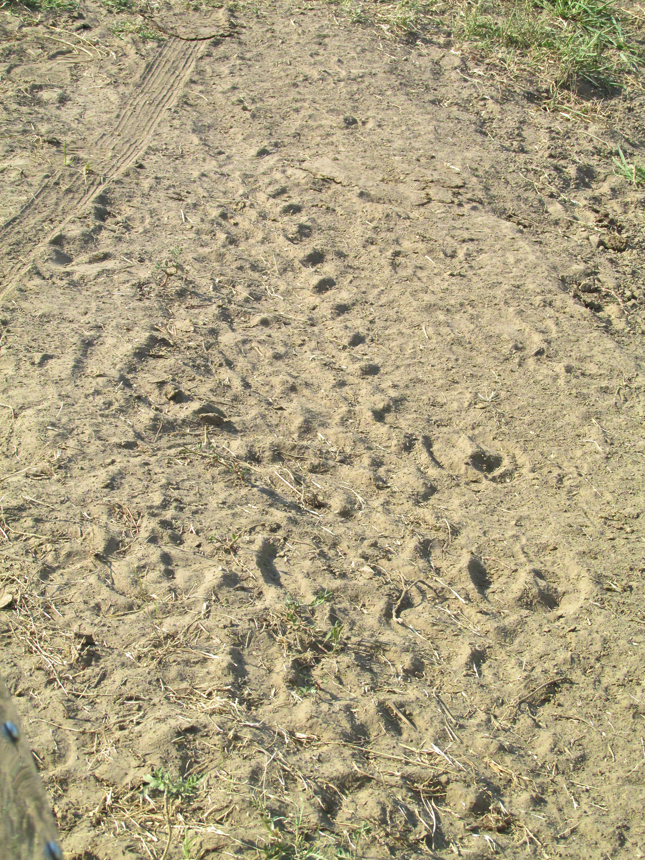
My Ultralight tire track is at the top. Also, I see 4 wheeler, deer, cattle and horse tracks – all on the same trail.
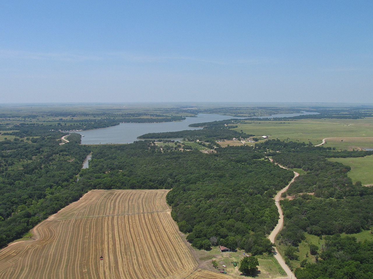
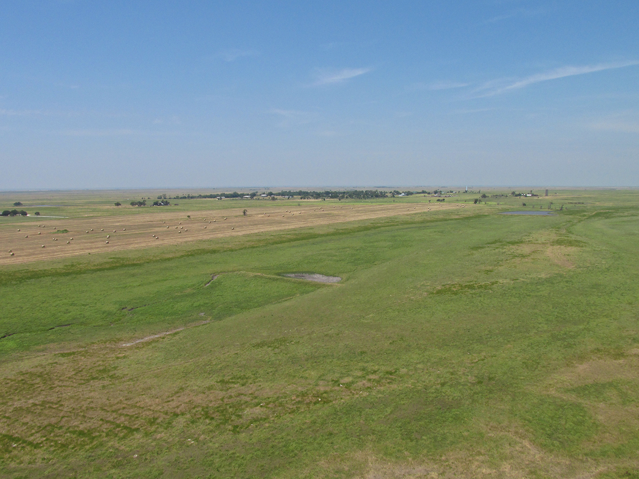
After takeoff there was another plateau to climb over…
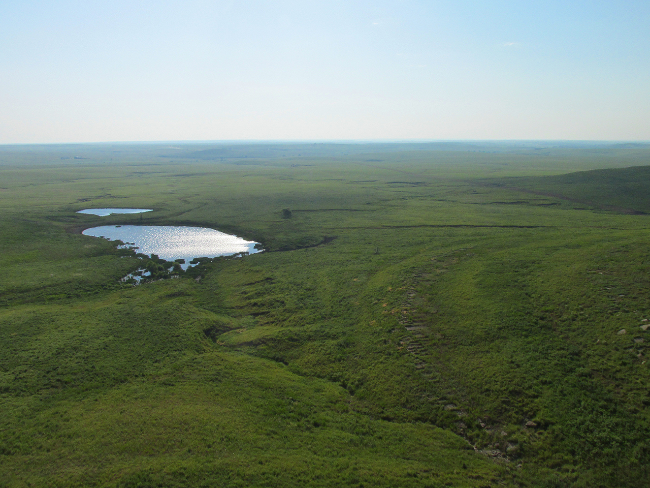
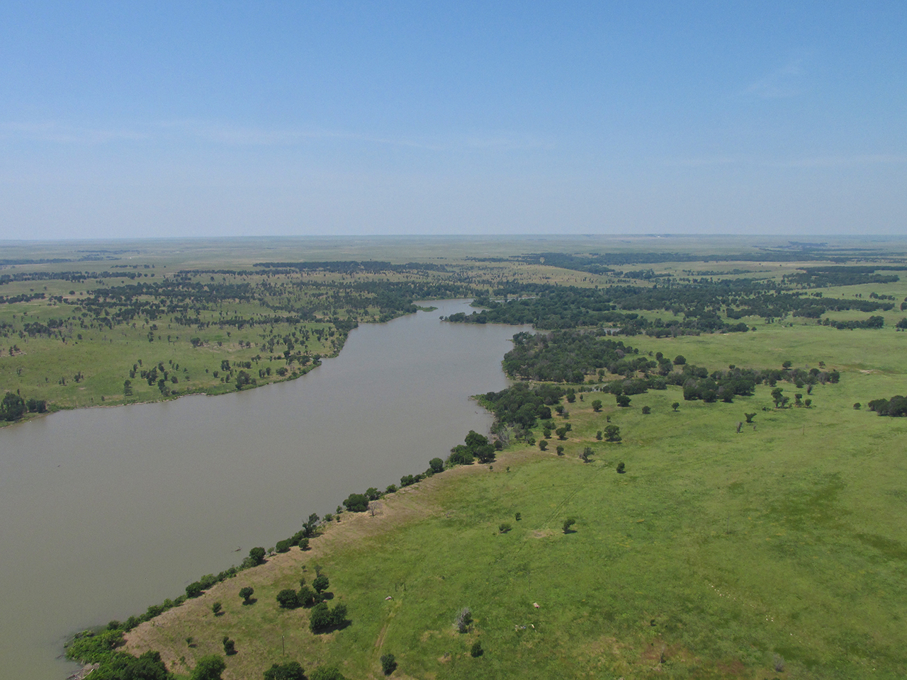
…at the top of which I sighted Bluestem Lake Northwest of Pawhuska.
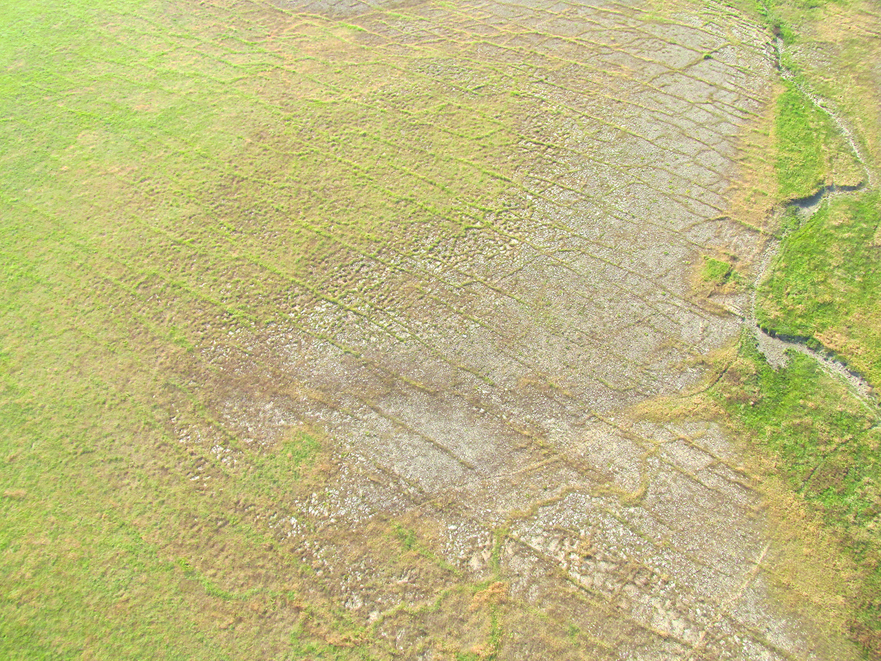
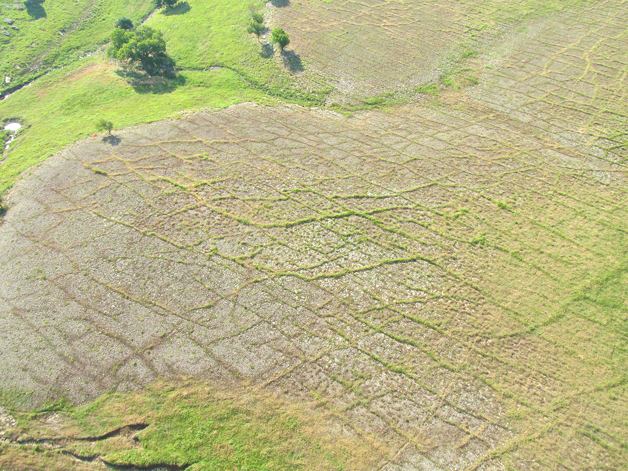
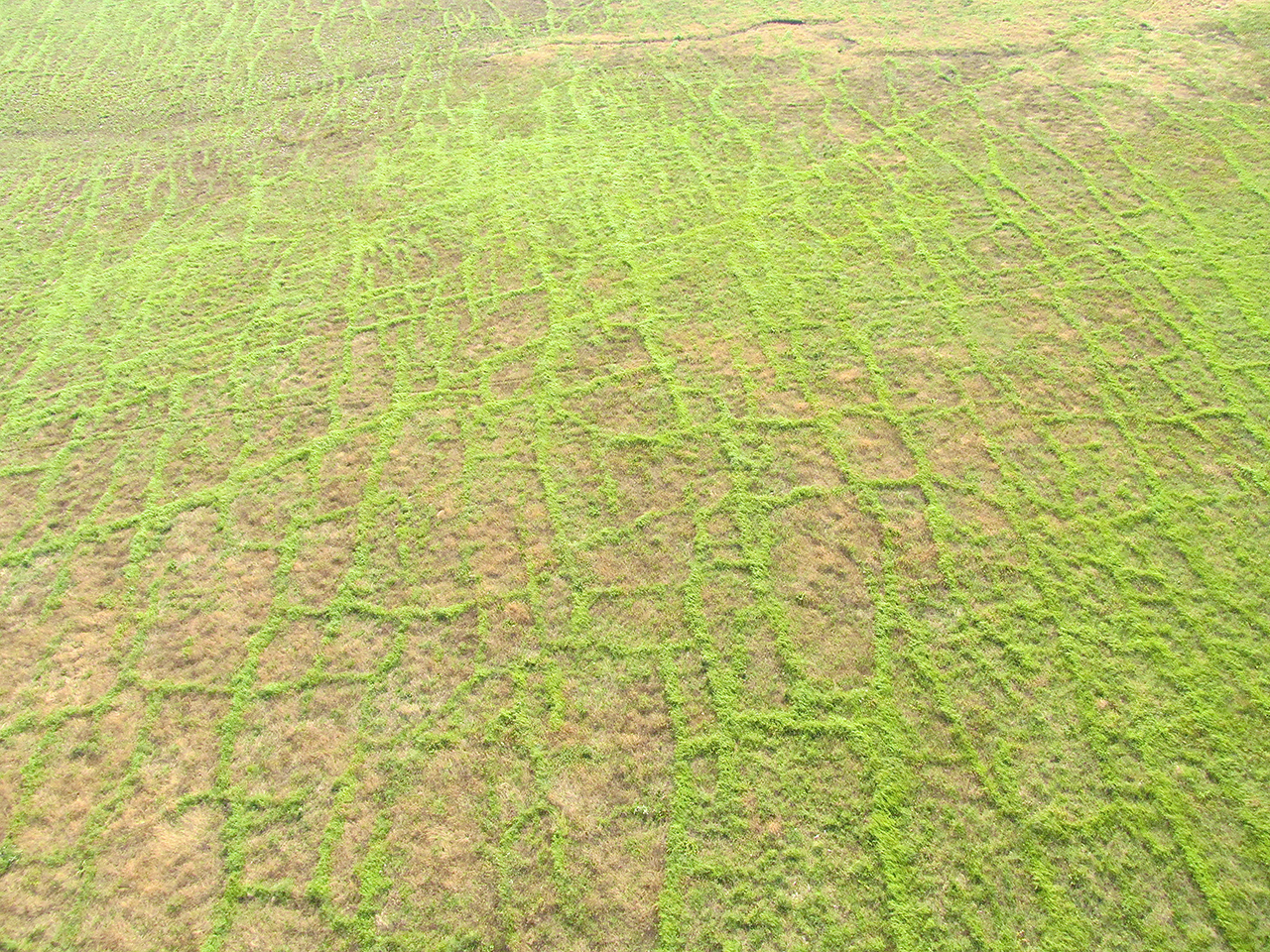
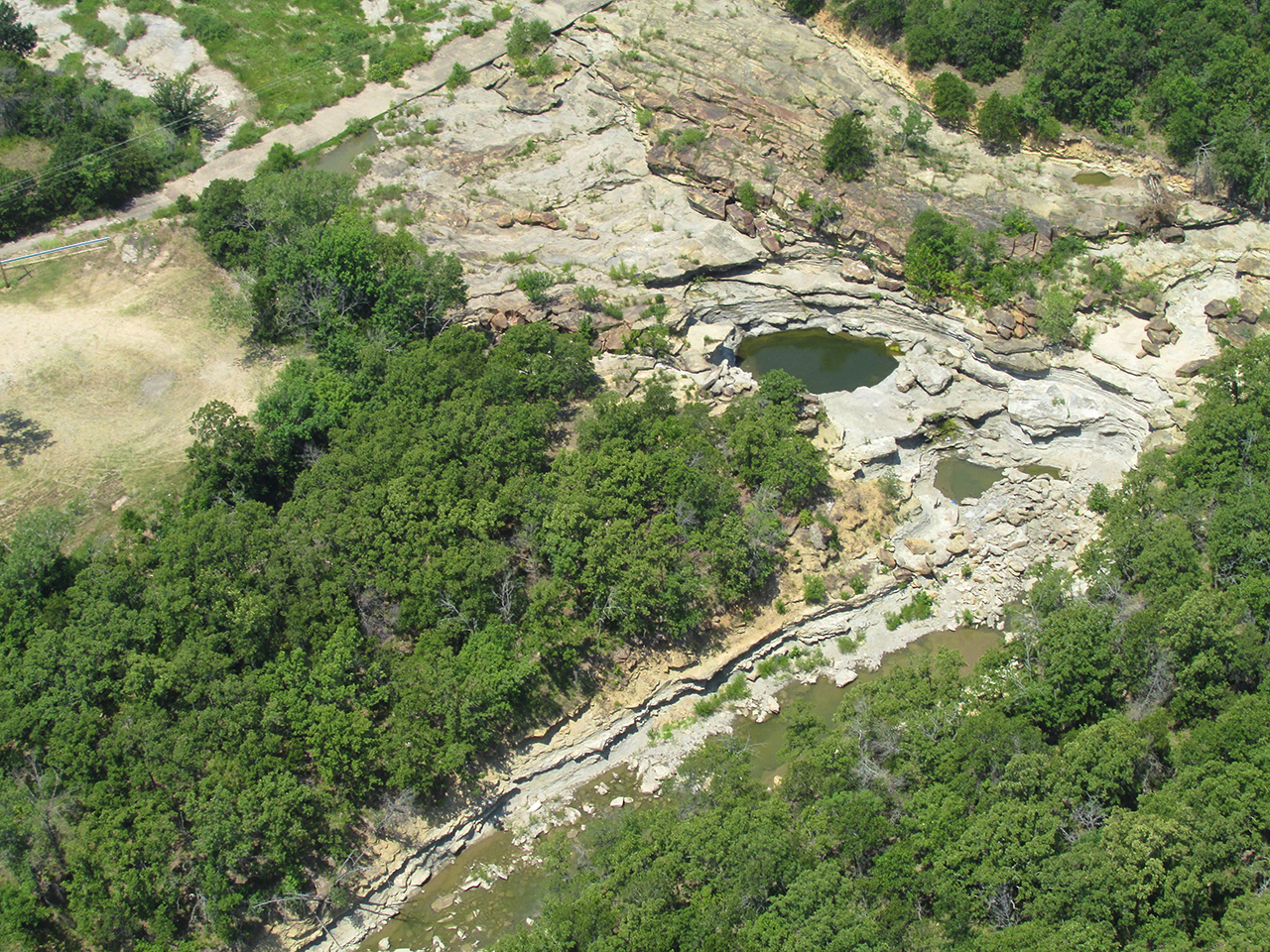
Interesting Surface Patterns
In many places I have flown over out here on The Great Plains I am treated to the sights similar to those featured in the next series. Just under the surface is flat rock which fractures in interesting patterns. There is enough soil for vegetation to grow which varies with the fracturing and produces these interesting patterns. 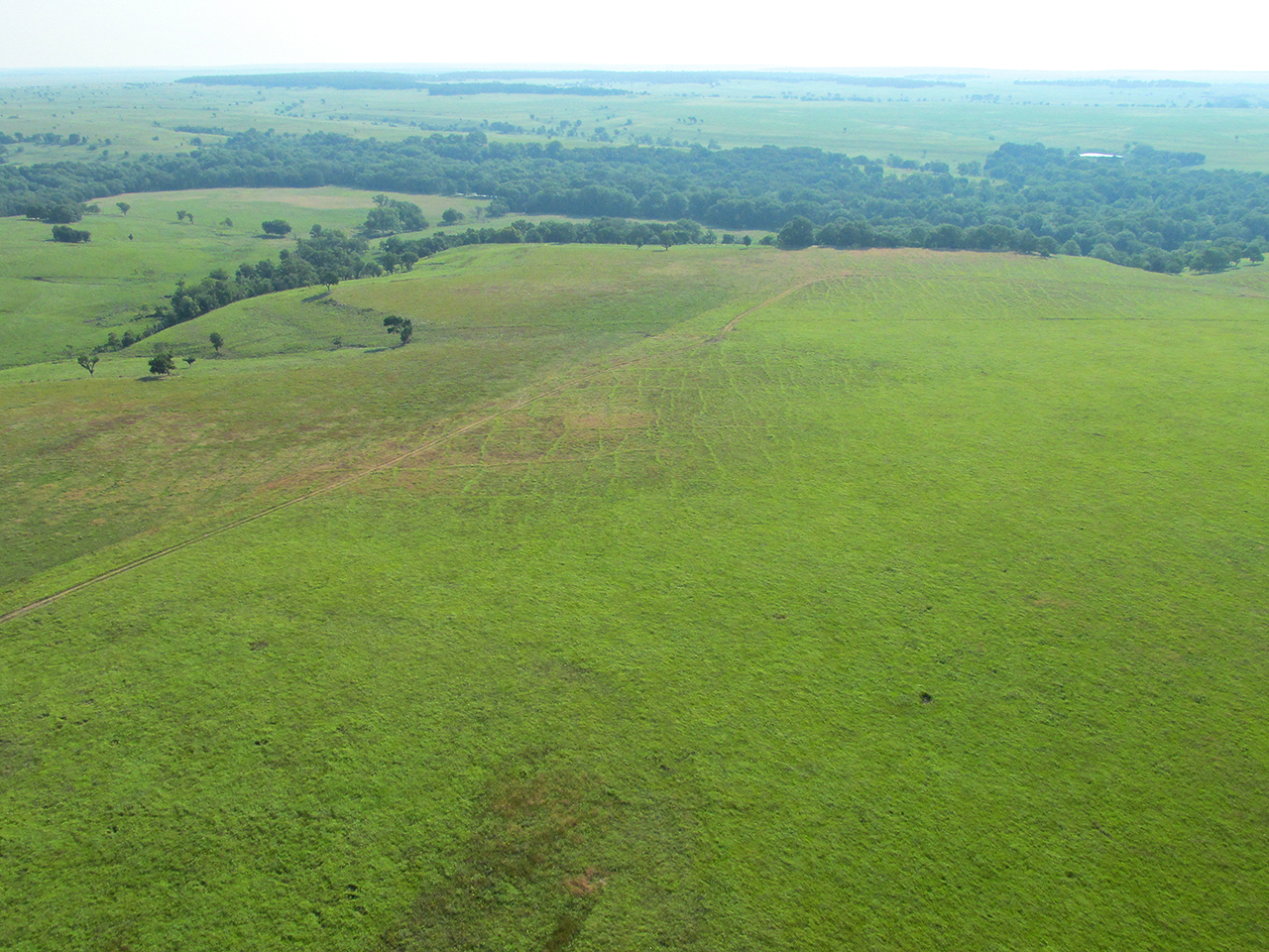
The Final Stretch
After passing over the plateau flats I could see the Pawhuska Water Tower at the top of a forested ridge. I gained some altitude to pass over it. Although I could not see the town of Pawhuska, I knew the water tower would be in the city limits. As soon as I got to the top of the ridge I would look for the airport and The Elk’s Lodge.

At the foot to the North of the Pawhuska Ridge was this attractive meadow.

Water Tower Means “Town”
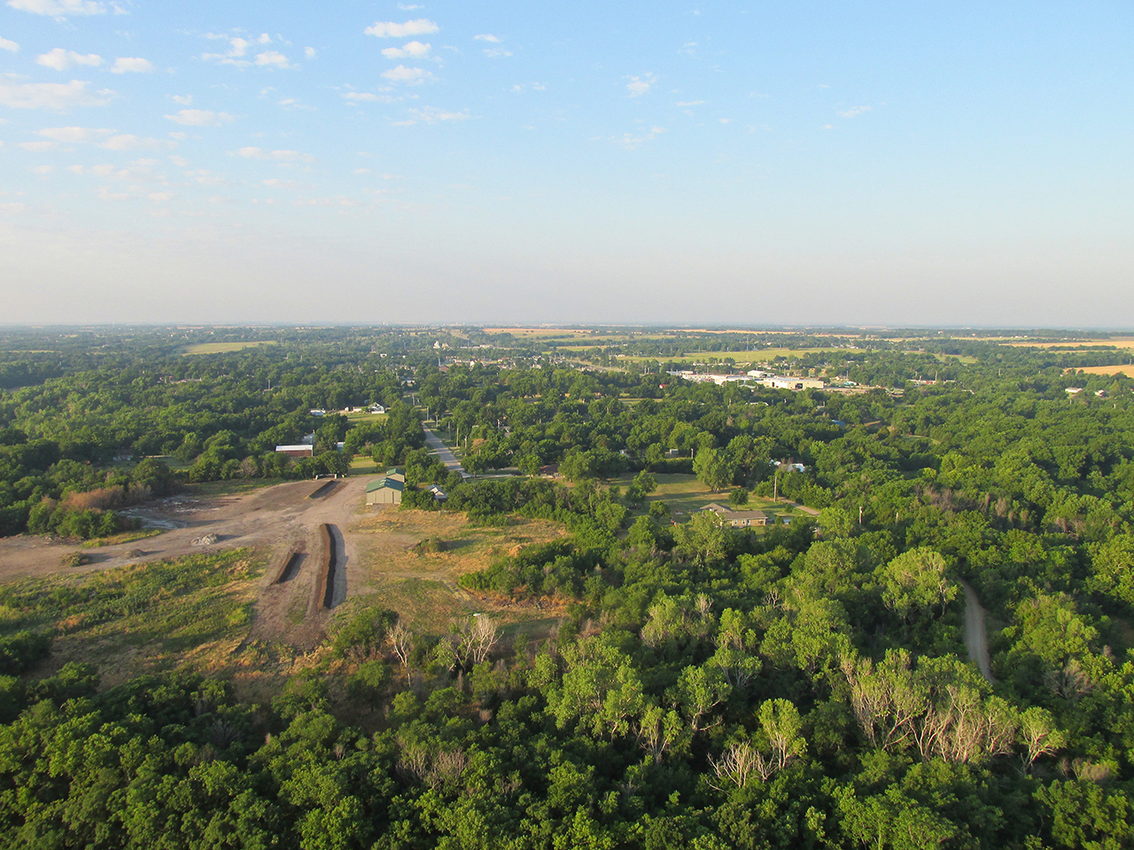
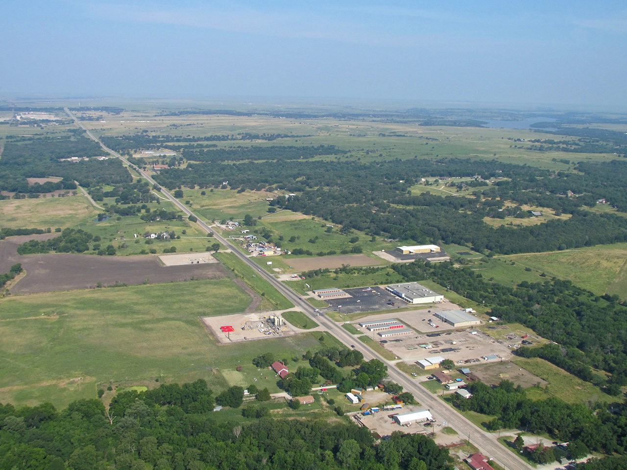
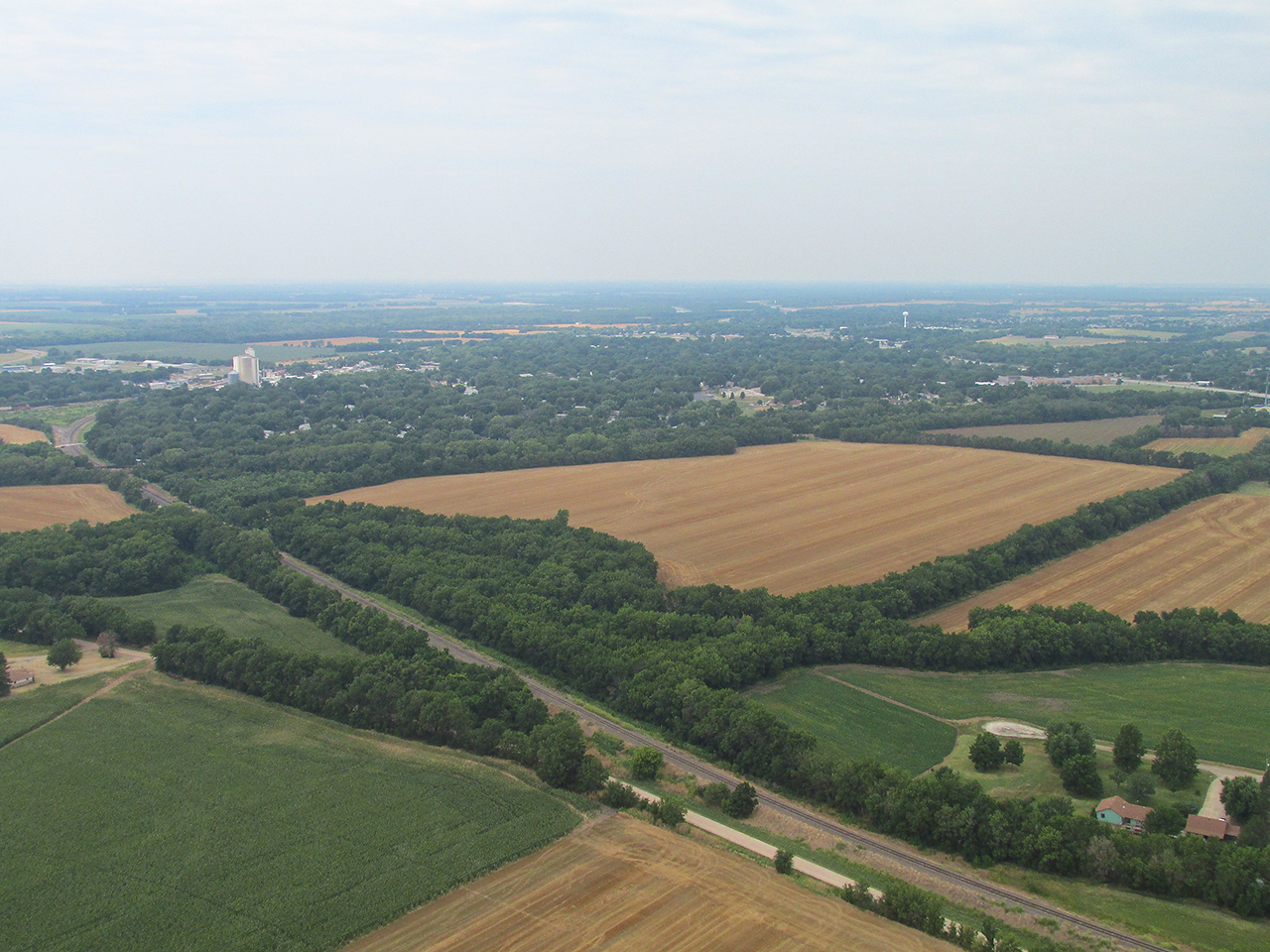
Pawhuska, Oklahoma From The Air
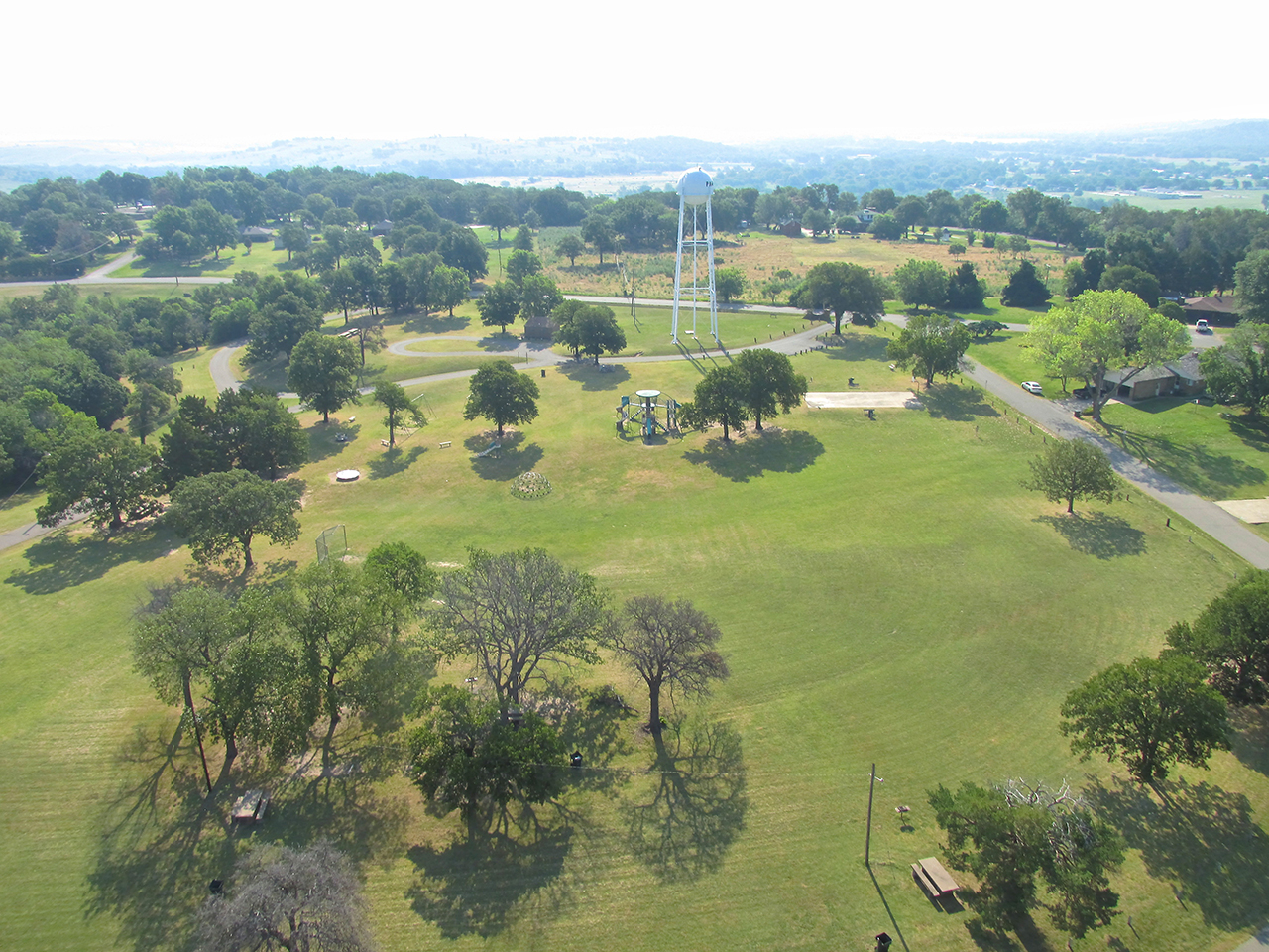
The water tower is in a park.
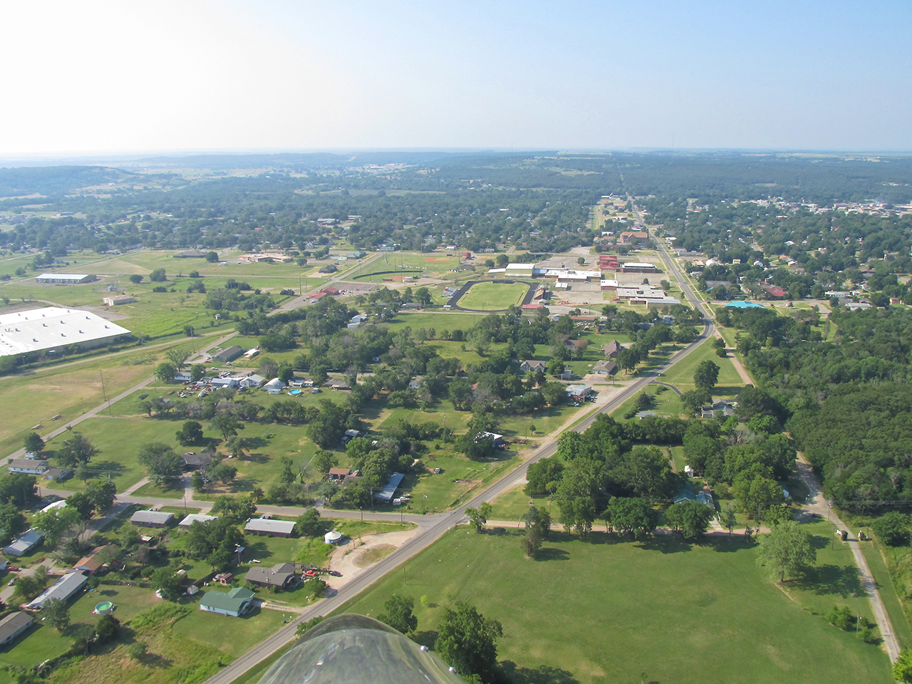
Looking South through the center of Pawhuska.


1,000′ AGL Looking Southwest

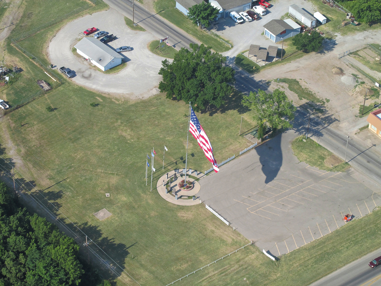
The American Flag is a predominant figure in all the small towns I visit. Pawhuska’s Flag is larger than most. This appears to be a Veteran’s Memorial.

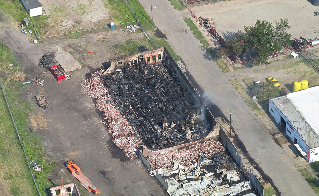
This is from 1,100′ AGL looking North. While finishing my encirclement of the town, something “out of place” catches my eye on the West Side of the city…
Fire!
I did not walk to this location while on the ground but I looked on the web after returning home to learn about the fire. This smoking ruin had been the Historic Benson Warehouse until a fire engulfed it in the early evening hours of Wednesday, 10 July 13. Even though I flew over it the Friday after, it was still smoldering. 
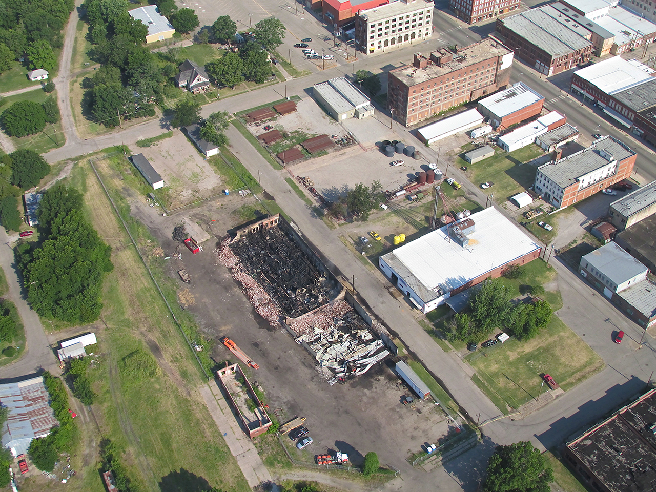
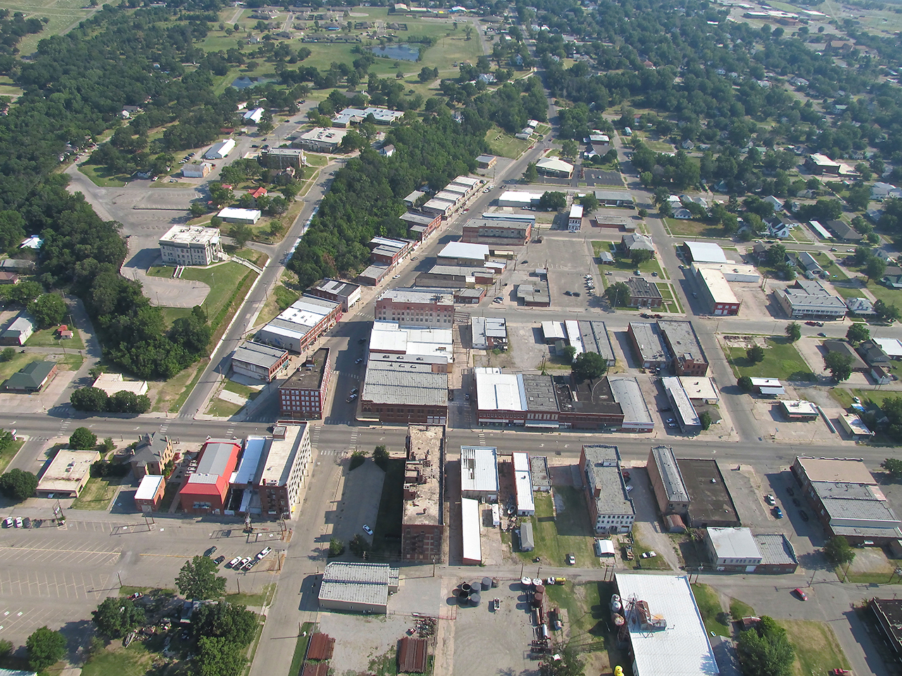
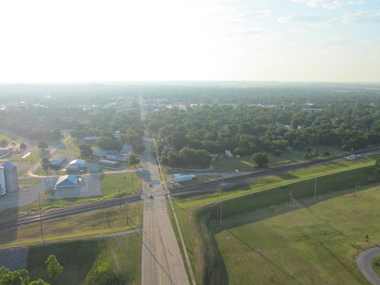
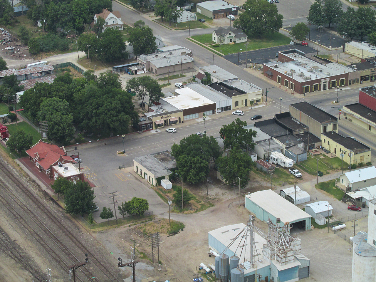
Downtown Pawhuska. Ground level shots of this area are forthcoming. 1,100′ AGL looking North.
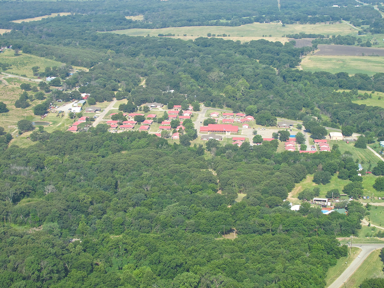
I think this is a retirement home. It is South of the Elk’s Lodge.
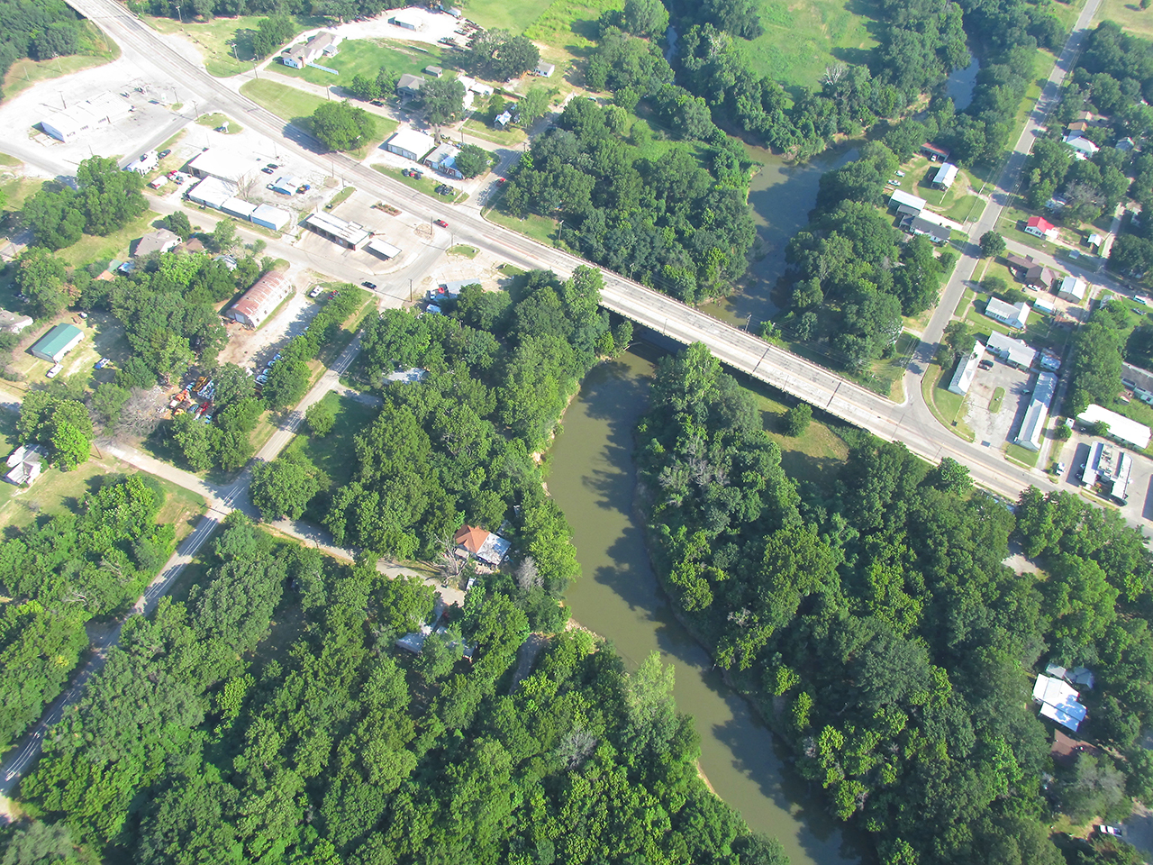
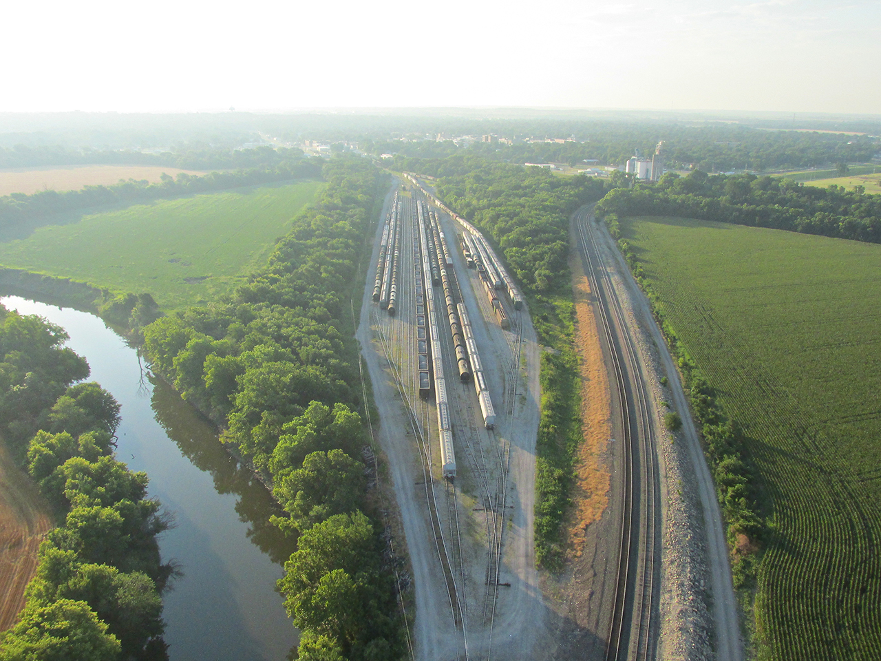
The best I can determine is that this is the Lower Illinois River passing under the Highway 60 / 6th Street Bridge.
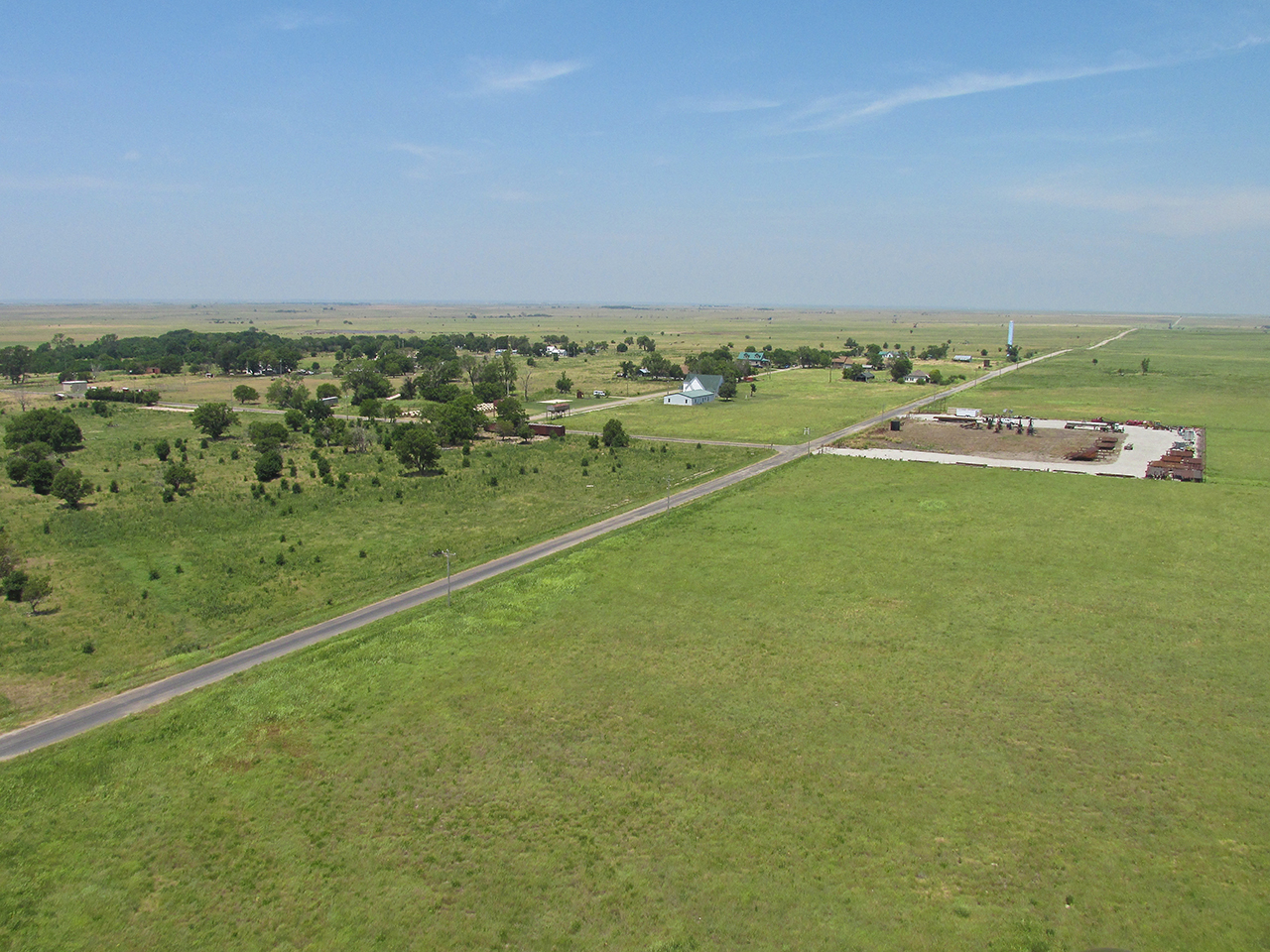
Landing Recon
The pictures below feature my landing spot – The Elk’s Lodge parking lot. They said I could land there or the Soccer Field to the South of it. The two photos below were taken at 1,200′ AGL before I circled down to get a closer look at the prospective “landing strip”. In the wide shot you can see both Pawhuska Municipal near the top left of the shot just right of the highway and The Elk’s Lodge which is the yellow building with the white roof. Although an excellent airport, you can see how much further I would have had to walk from the Muni.
The Elk’s Lodge and Soccer Field are toward the center of the shot to the right (North) of Highway 60.
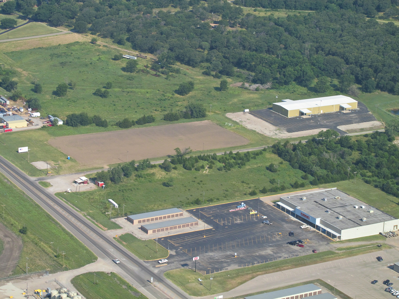
Telephoto: The Elk’s Lodge & Soccer Field
Decision Time
Even though Google Earth’s satellite pictures are a fine and wonderful thing, the free version I use has resolution that only goes so far. Now hovering over the site myself, my “baby blues” could see the Soccer Field was not optimal because it had a dirt surface. When possible I avoid landing on dirt as my landing gear can throw rocks into the propeller and knick it up. Also, it was close to the highway and had power lines at both ends. The parking lot appeared to have power lines only on its South end. If I couldn’t stop in time, I would be able to roll under them without a problem.
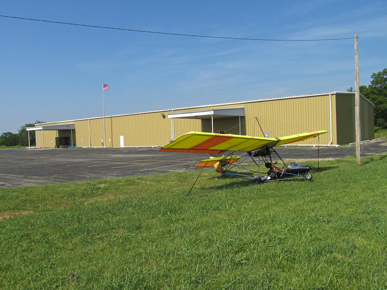
Wire at the North End, too! (MXL tied “tail into the wind”)

Looking East
It Pays To Pay Attention
Previously I mentioned that the parking lot was chosen because it appeared to have wires only on its South end. That proved to be false. On final approach, about 500 yards out, I noticed the wire you see in these two pictures extending across the North End of the parking lot. I had plenty of time to forget the whole thing and fly over to Pawhuska Municipal but I know my MXL quite well.This was still more than enough runway particularly with the 15+ mph headwind. So, instead of skimming over the chain link fence and touching down at the beginning of the parking lot, I extended enough to ease over the single strand wire and set down toward the middle of it. I came to a stop in the grass off the South End of the parking lot, turned and taxied back to the spot you see above and “staked her down”.

By the size of the American Flag I showed you in the aerial photos, I knew Pawhuska would be a place where it is revered. This sign out front of the Elk’s Lodge confirmed my thoughts. I suspect The Elks are also outright donors or, at least, part of a town coalition that pays to keep the large flag I saw from the air in excellent condition.
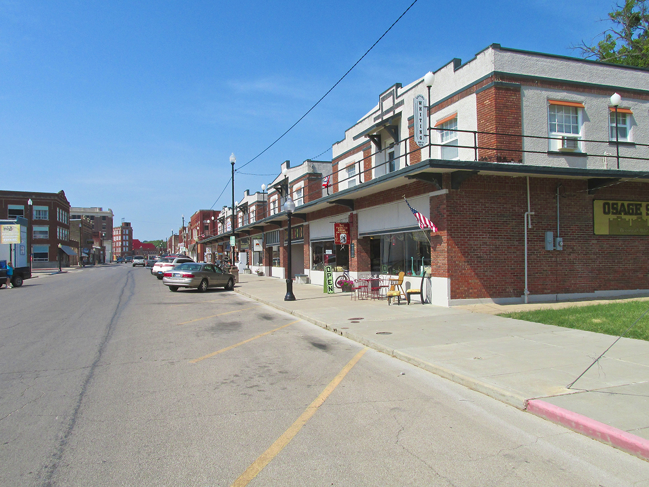
Time To Walk The Town
Anybody that has a Stone Building like this can’t be All Bad.
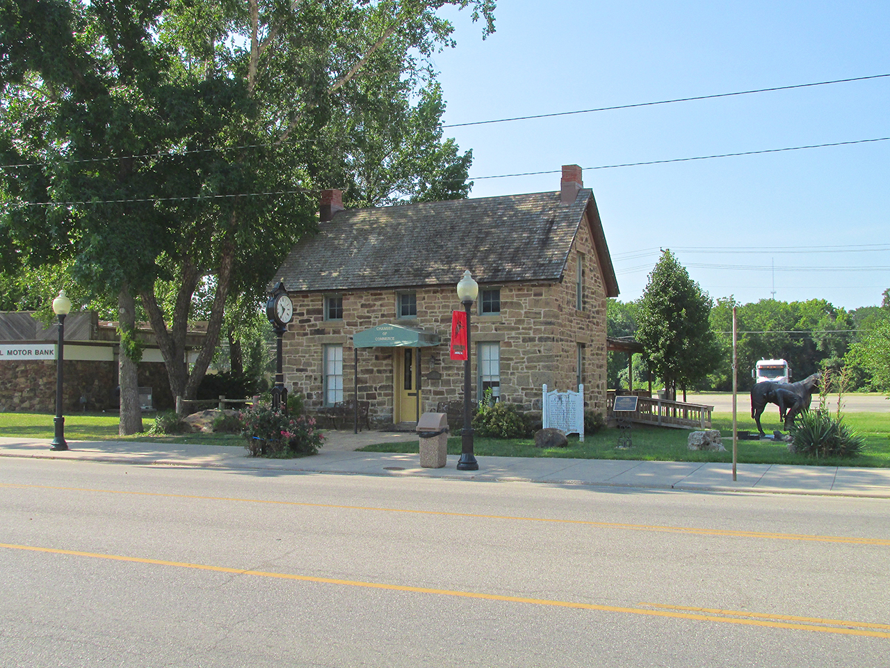
The Chamber also houses itself in an attractive Stone Edifice.
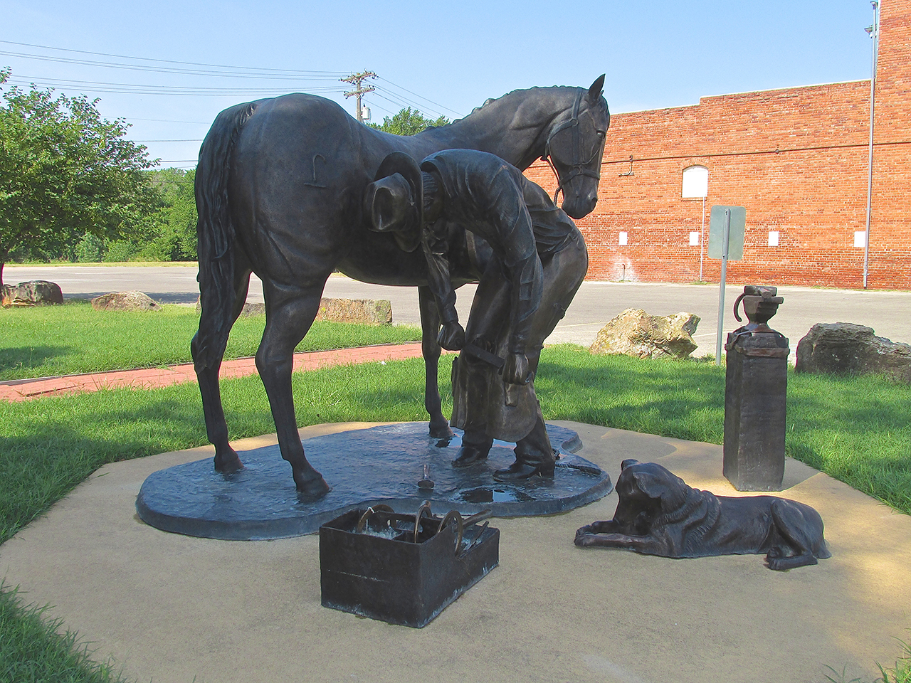
This beautiful statue scene graces the grass next to The Chamber Office.
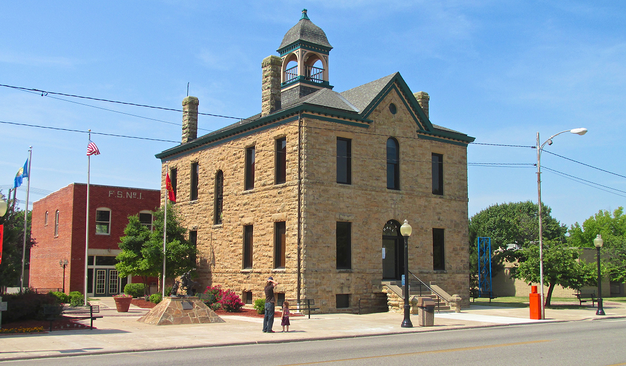
Man, I am in my element! Yet another fine Stone Building, this one the City Hall.
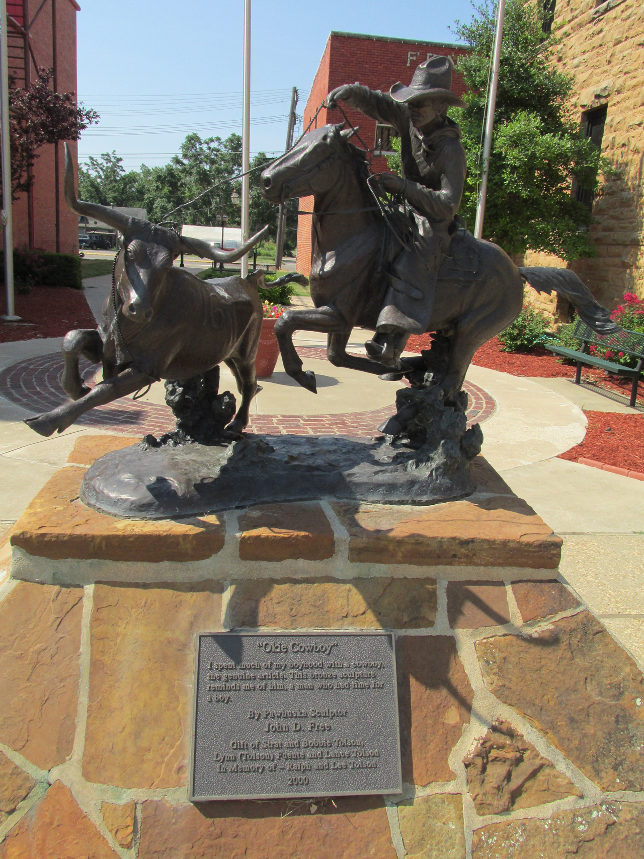
“Okie” has always been a term of endearment in my lexicon. While “Kansas Cowboy” drifts off the tongue a little smoother, the land I had just flown over surely warrants this fine tribute to “The Cowboys of The Land of Red Dirt”.
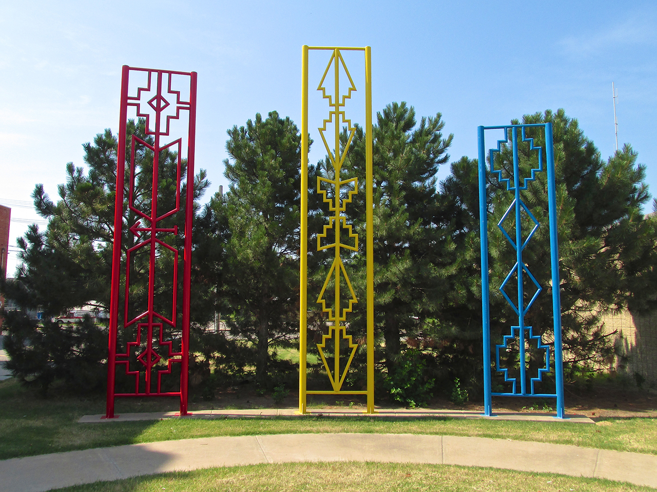
I did not see a plaque regarding these. From my Boy Scout days it seems to me these must be representations of Osage Indian beadwork belts. The colors of the beads and the symbols used were a means of communication.

This was on the wall of a building downtown. The quality is such that I think it deserves a rehabilitation.
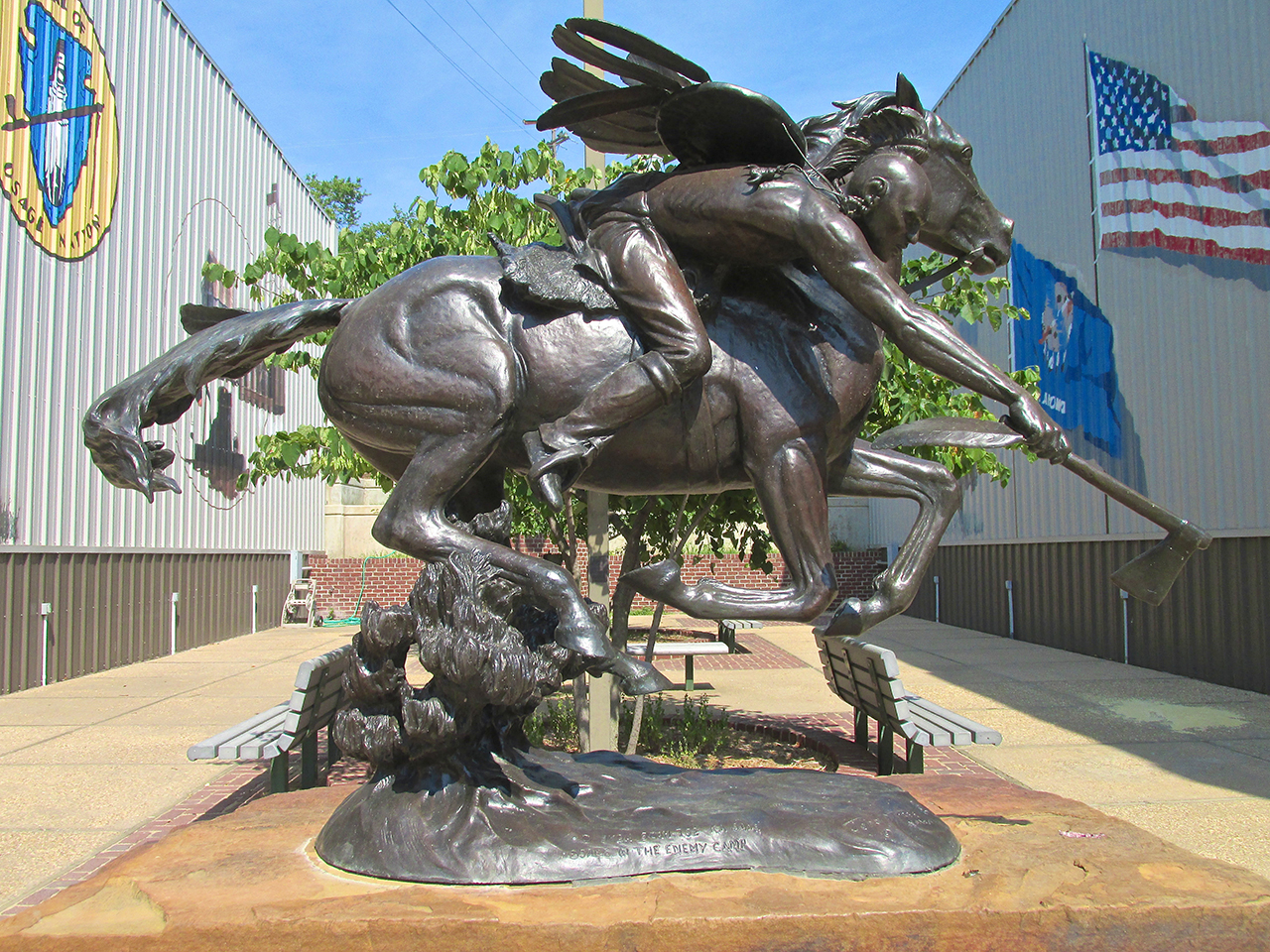
Another excellent statue. This one is an Osage Brave taking coup.

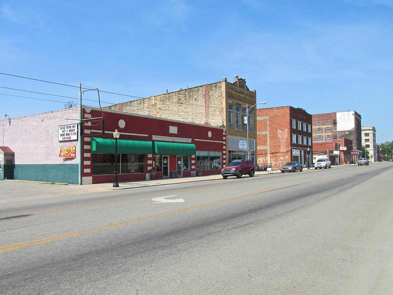
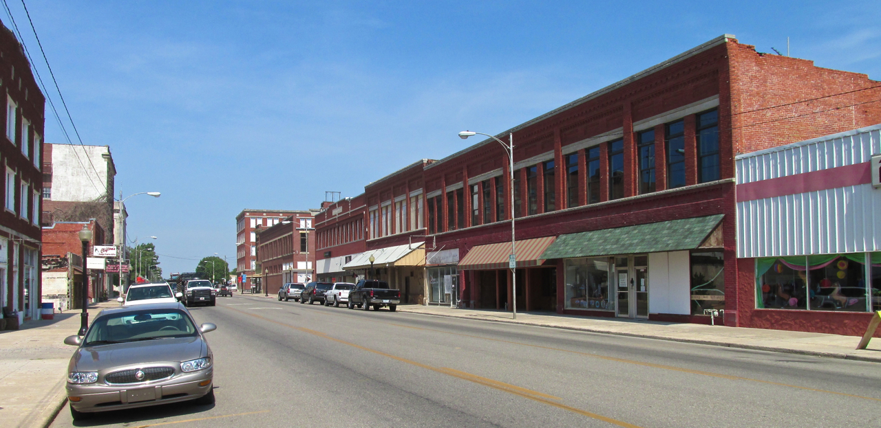
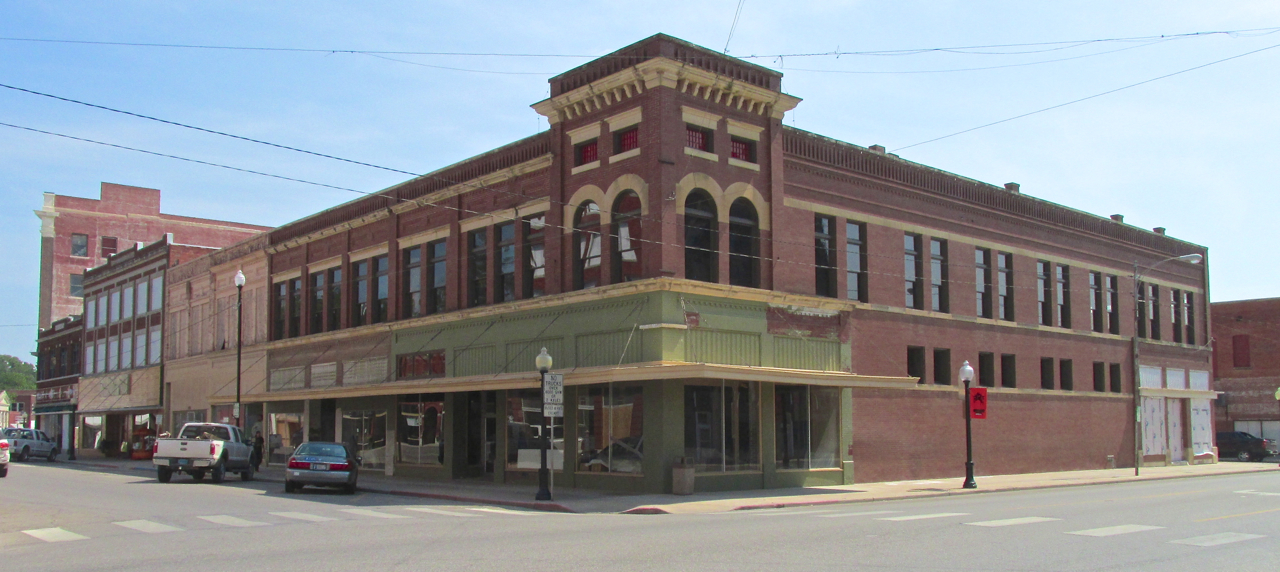
This building at the corner of Osage and Main seems to be unoccupied at the moment. It has a very classy look about it.
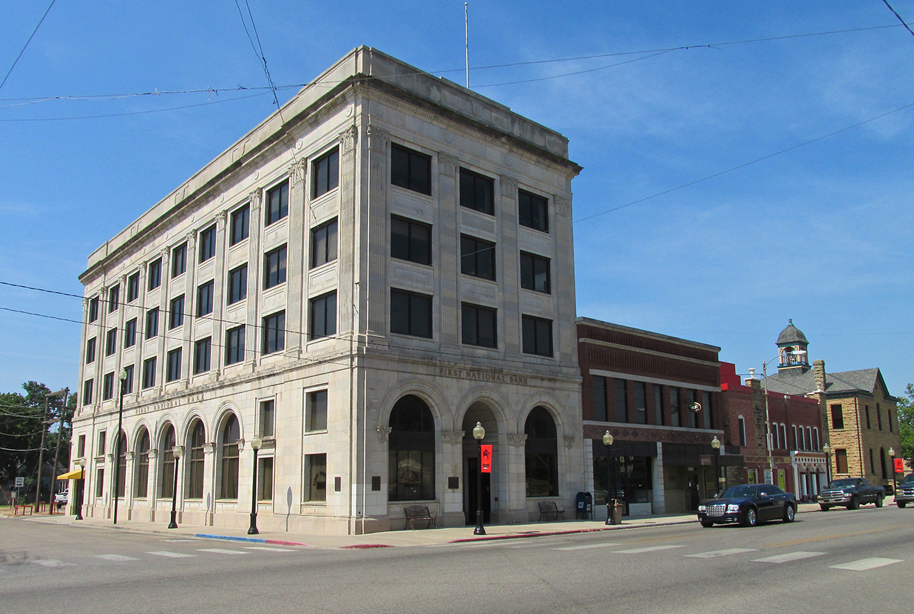
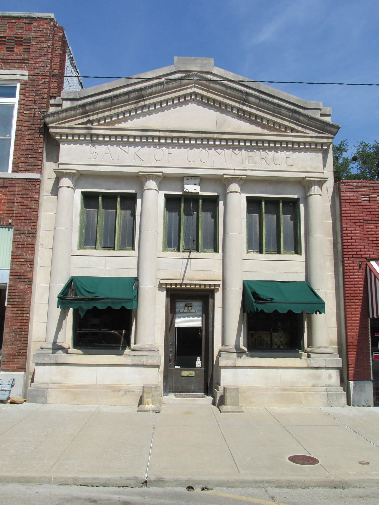
That’s the solid look you want for a bank.
Pawhuska Ground Wandering Complete
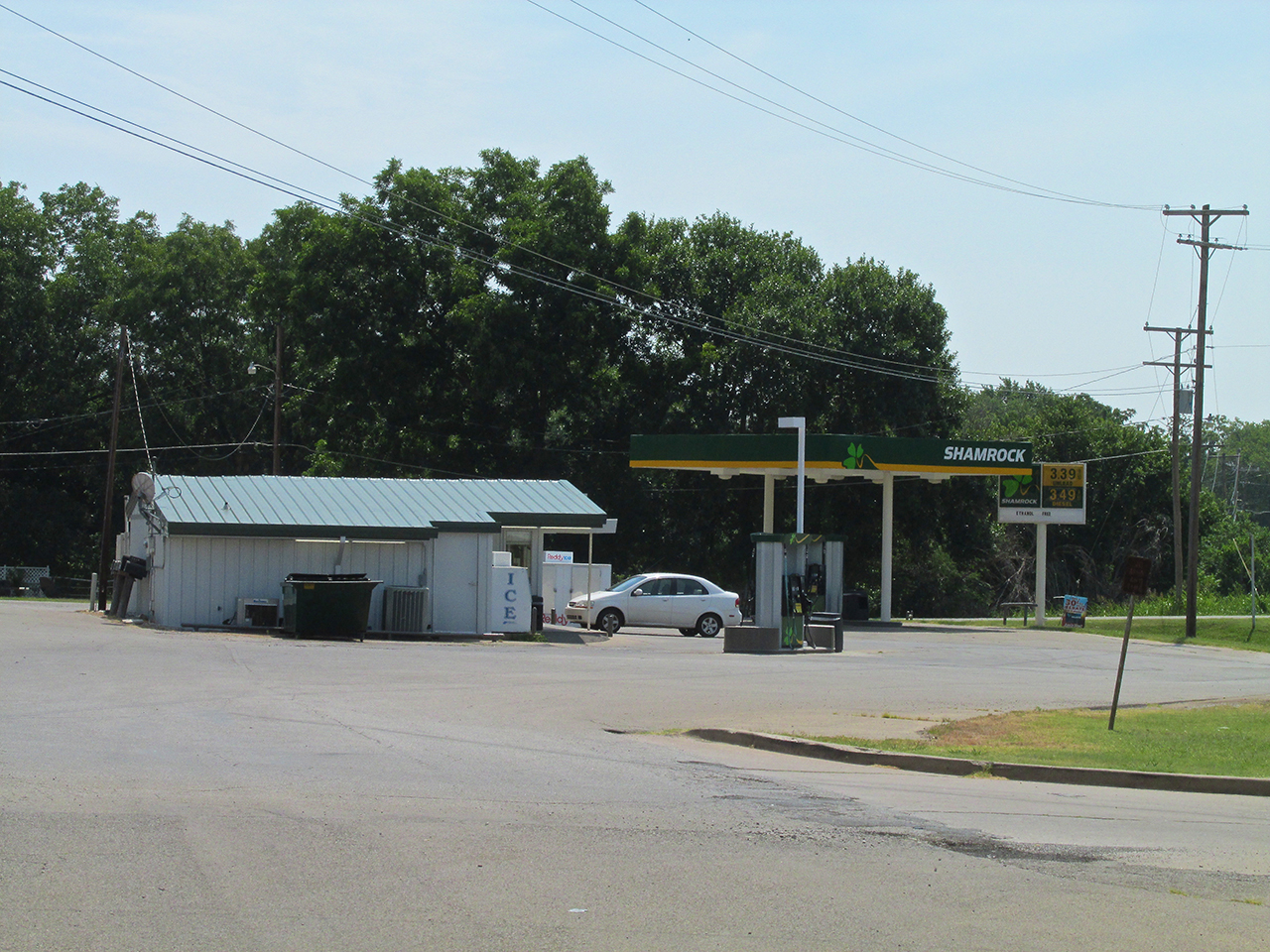
The temperature was close to 100 degrees and I had been walking around town non-stop since I landed after a two and a half hour flight. I headed back to the Shamrock Gas Station seen below to get some gas and head back to my plane. The proprietor had agreed to let me leave my gas containers there while I walked around town. Before fueling up I drank about 3 bottles of the Cranberry-Grape juice I like.

While walking back to The Elk’s Lodge I saw these strange mounds in the ditch beside Highway 60. After describing them to my Buddy Doug Moler, he says they are crawdad mounds.
After fueling up and stowing my tie downs I was ready for takeoff. The wind was steady at 12 mph out of the South (see flag above). I was airborne by about the ninth yellow line seen in front of the plane. I passed over the power line ahead with at least 30 feet to spare.
Right after takeoff I swung West about 150 degrees to see Bluestem Lake again. I decide to depart from my general heading for a few minutes to take a closer look.
Because the river has been dammed to form the lake, this interesting waterfall area on the East side of it is now exposed to view.
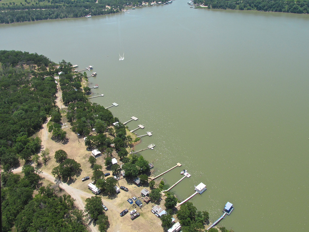
A lot of fun going on down there.
Looking Northwest from 1,200′ AGL at the Northwest corner of the lake and parts beyond. I have one more slight detour I want to make on the way back…
After flying about 20 minutes I see this House of Solitude.


I had not seen this yellow shade of grass before. I like the way it mixes with all the green grasses around it.
It’s time to climb.
The “Detour”
While studying my map for the Pawhuska trip I noticed a town I had heard of before but never visited – “GRAINOLA“! In my book, a town with a name like that deserves attention. It is now on my list of towns to visit. I made an aerial survey which you will see next. There was just one problem…
Grainola, Oklahoma in the distance.
I am definitely looking forward to walking these streets – soon.
NOT Grainola!
It wasn’t until I was proofreading this story and happened to look at the satellite photo of another village I had decided to visit that I realized the pictures above are actually Foraker, Oklahoma. Excellent! My new plan is to visit both of them in a Future Safari.
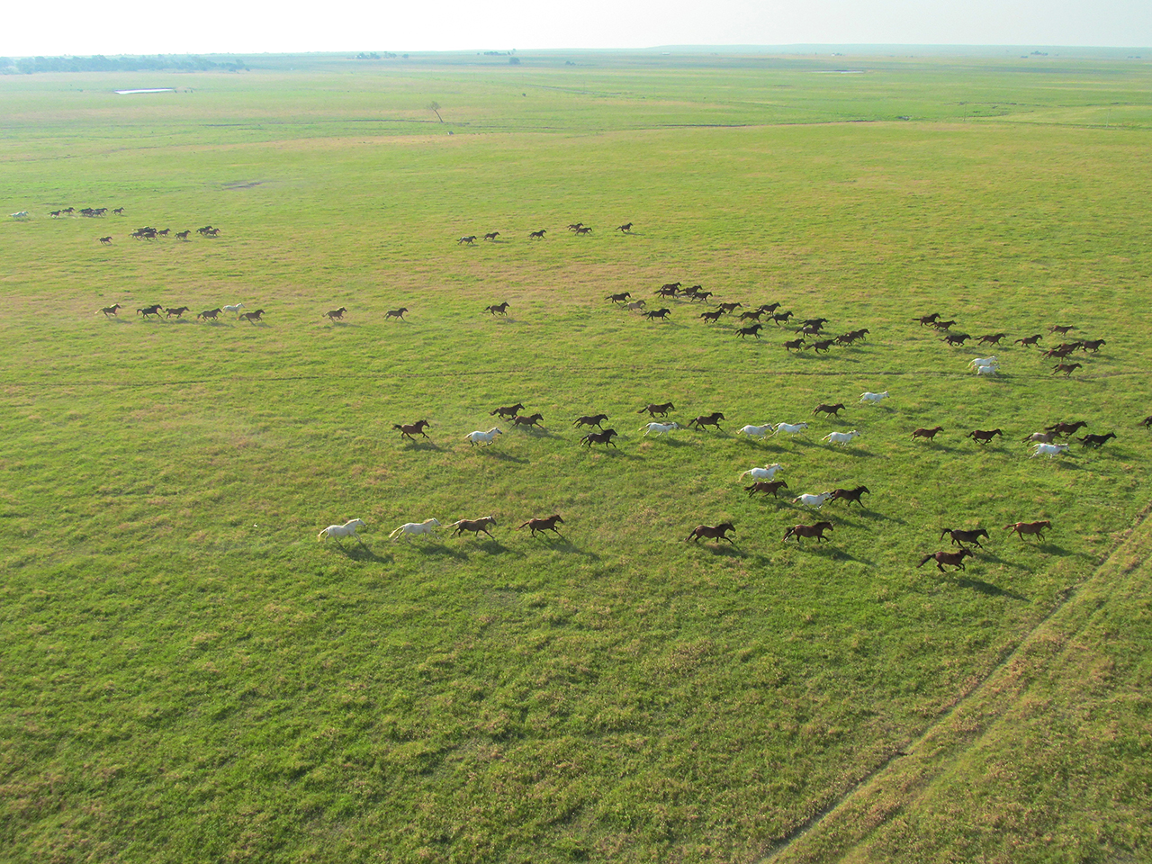
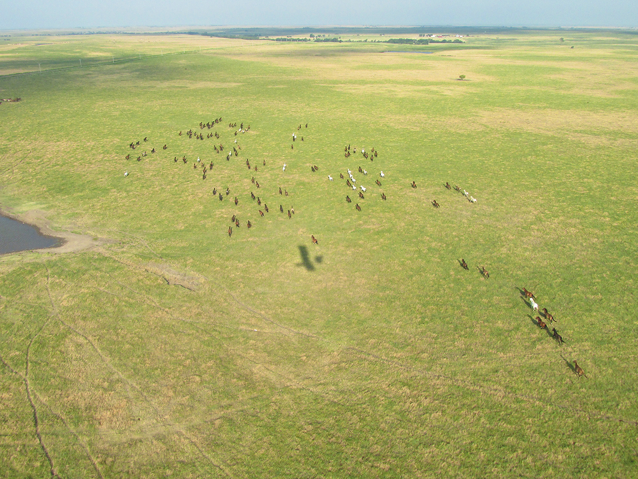
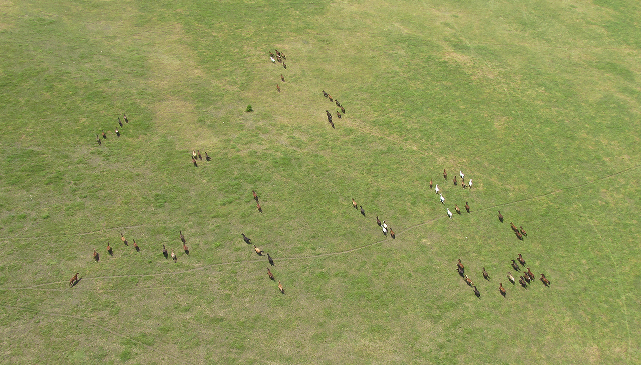
They’re Baaaaaack!
…and again oblivious to The Sky Surfer, the Wild Equines are spotted loping across the prairie below. I suppose it is immaterial whether they notice me. More relevant is that I could not bear to witness their passing without again exposing them to the rays of my camera’s probing lens.
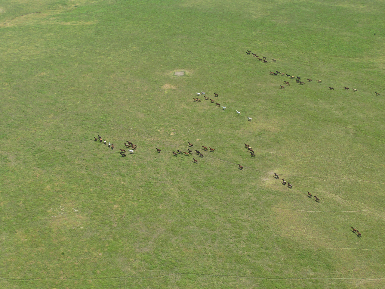

Tele: Straight down from 1,000′ AGL.

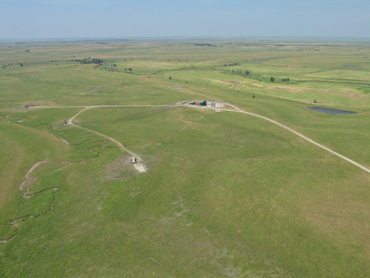
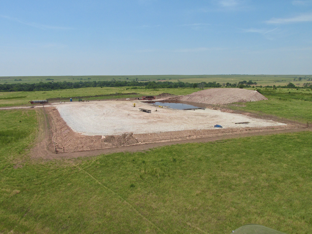
This is a long way out to truck oil into town.
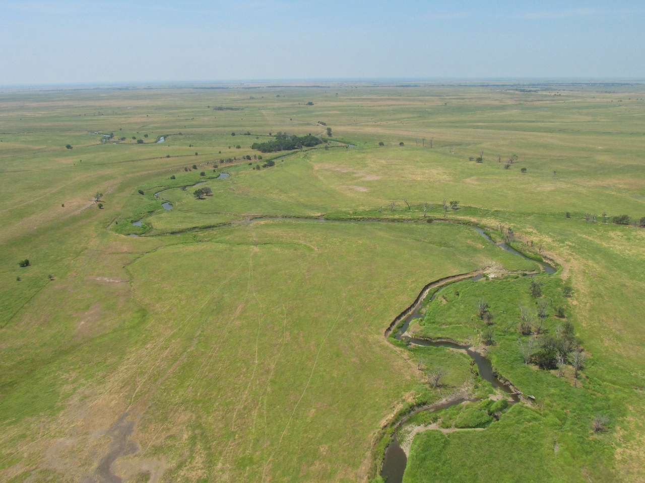
A Meandering Creek

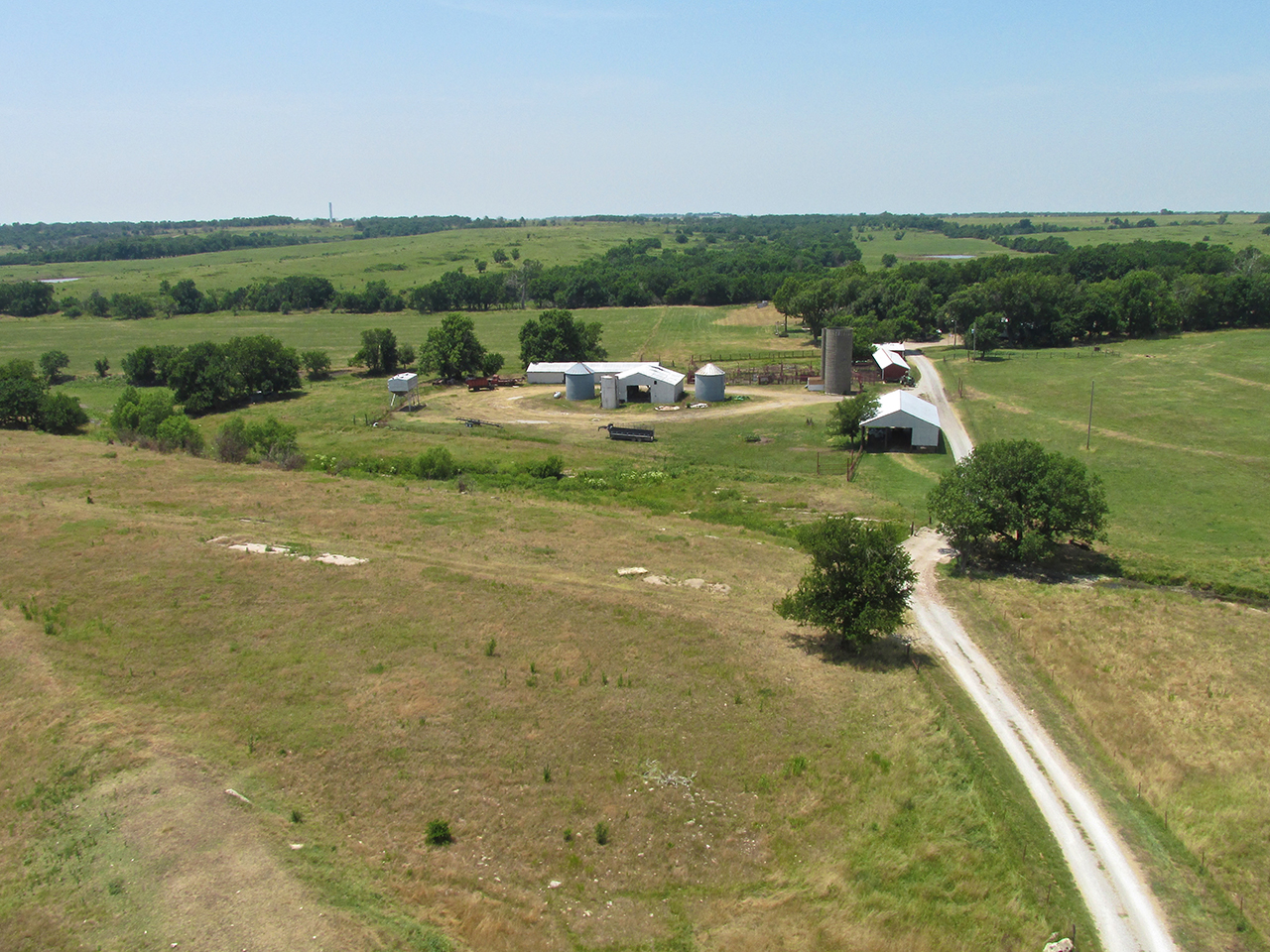
A Little House On The Prairie


A New Well
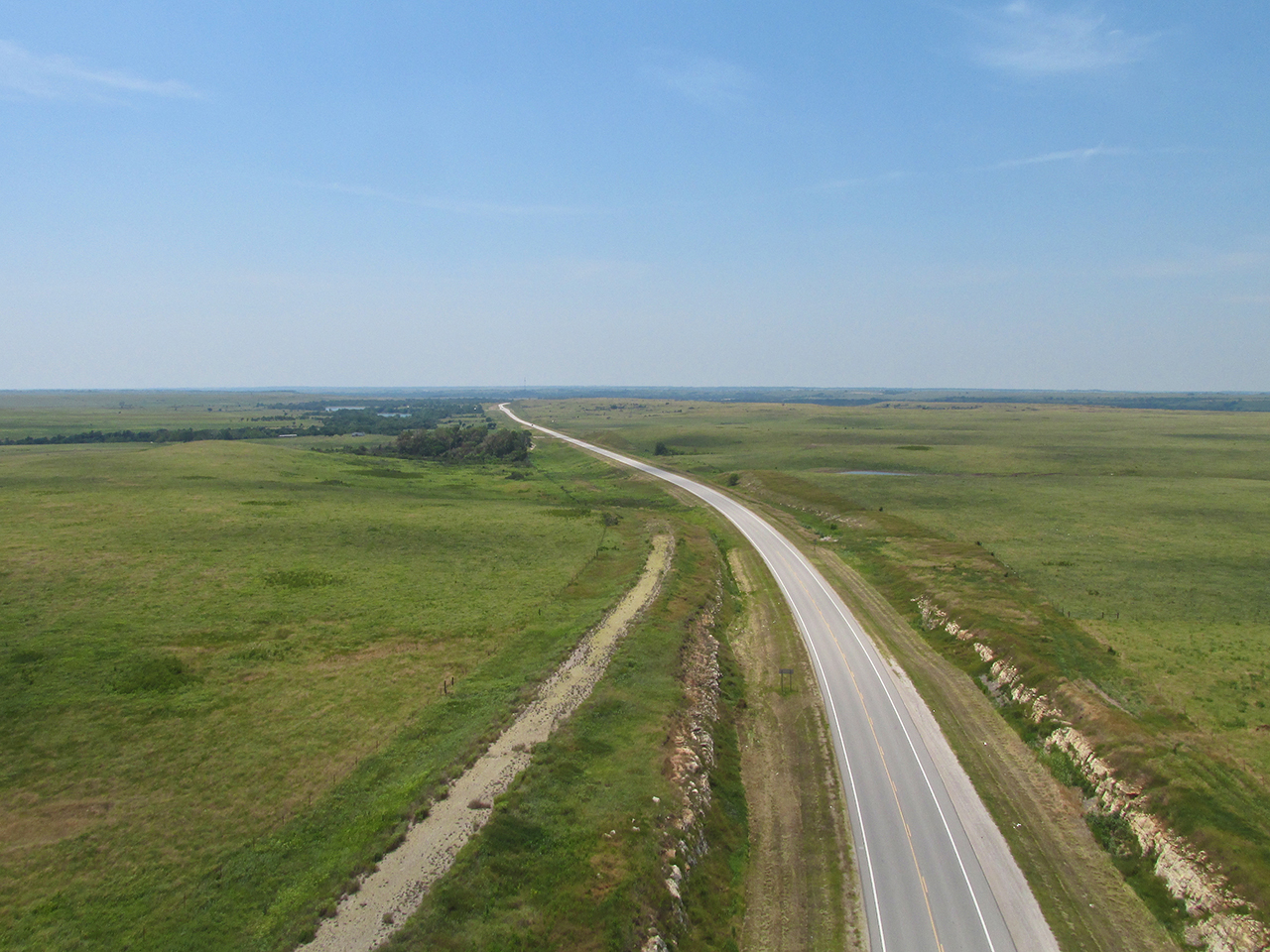
I call this one “Road to Nowhere”. I suppose I could call it “Road from Nowhere”, too…
As I passed to the left of this farmstead, deep in the Heart Land, a couple waved to me from the swimming pool next to the house. They were out enjoying the sunshine. Even though they waved enthusiastically, I did not think it appropriate to snap a photo. The Sky Surfer feels inordinately blessed that everyone he sees out in the country waves and seems to appreciate his barnstorming. He respects that and does not wish to misuse that welcoming attitude by invading privacy any more than necessary.

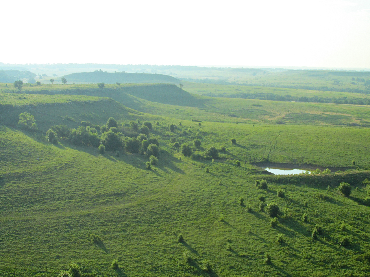
Finally after years of drought the cattle have plenty of water to drink from their ponds.

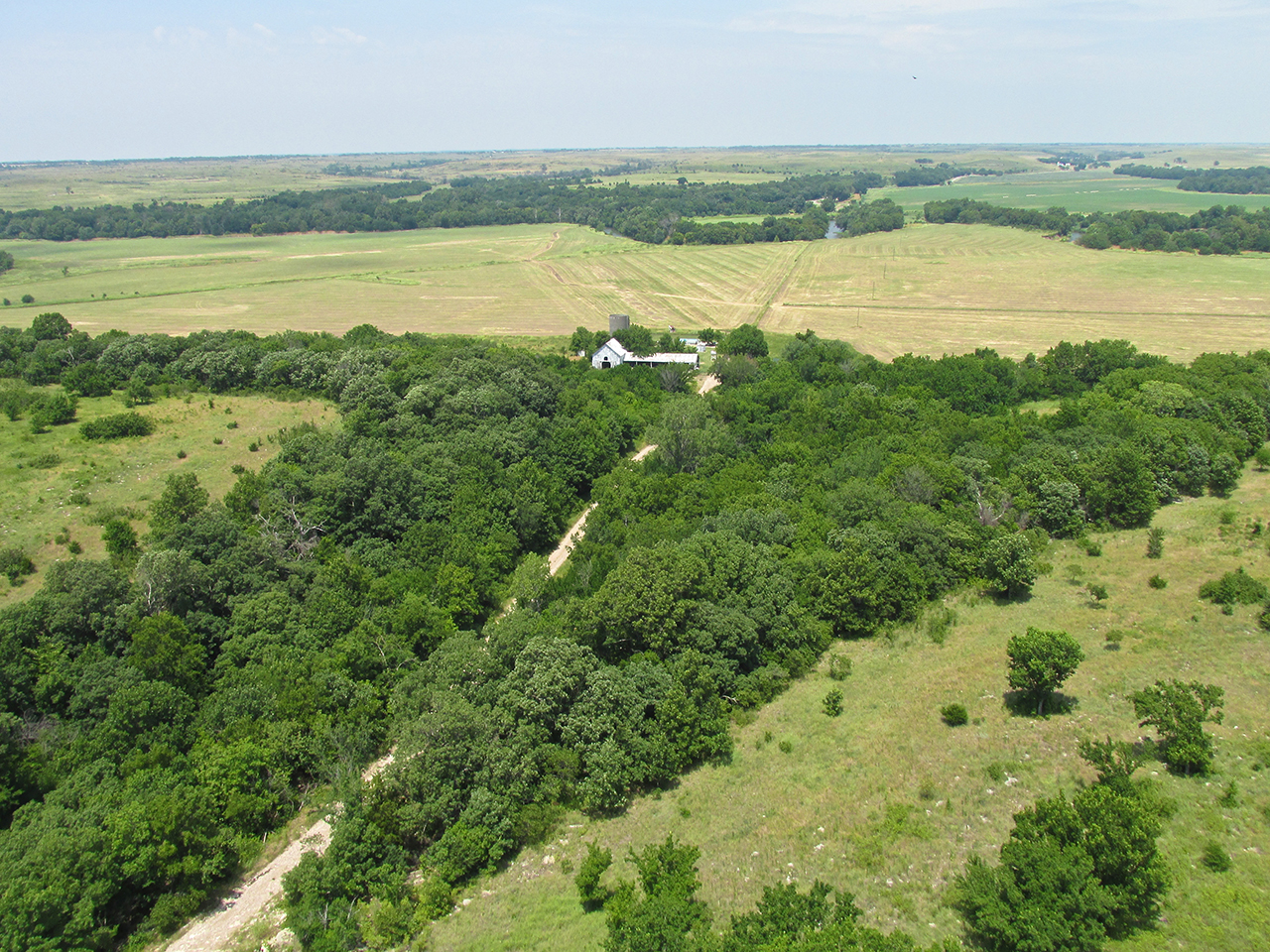
The camera did not portray this as well as my eyes saw it. What is of particular interest here is the way these folks utilized the “nook” in the rolling hills to shelter their abode. This is very wise use of terrain in an area where tornadoes are not an infrequent but always uninvited guest.

Occasionally after a few hours of flight, The Sky Surfer desires to avail himself of “the facilities”. Newly mowed hay fields are excellent for that and for a photo opportunity of his favorite steed. Here, down on the ground and with the hedgerow stopping the wind, the temperature was over 100 degrees in the shade.
An Earth Sheltered Home
Even though it was a little off my path I swung over to see if anyone was stirring at Cherokee Strip Residential Airpark. I didn’t see anyone around.
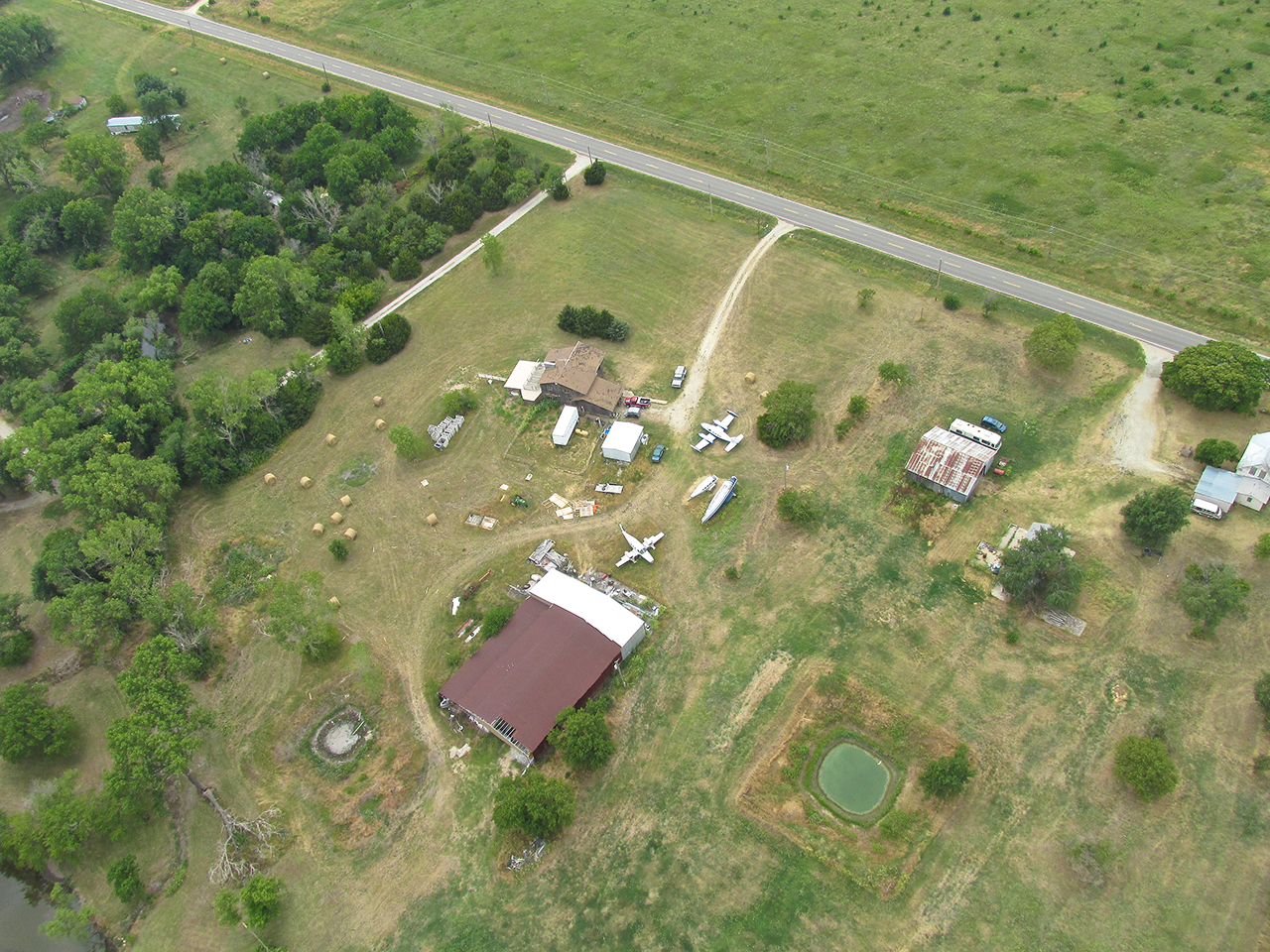
This resident living on the Northwest quadrant of The Strip has an interesting collection of aircraft fuselages.
Udall, Kansas. Cherokee Strip is a “suburb” of Udall Southeast about a mile.
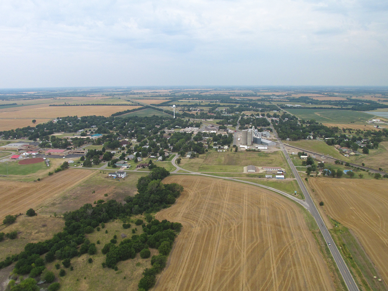
Mulvane, Kansas from 1,000′ AGL looking Northwest.
Downtown Mulvane is home to a favorite Italian Restaurant of Mrs. Sky Surfer and I. It is right near the Historical Museum and is housed in an old Railroad Depot…
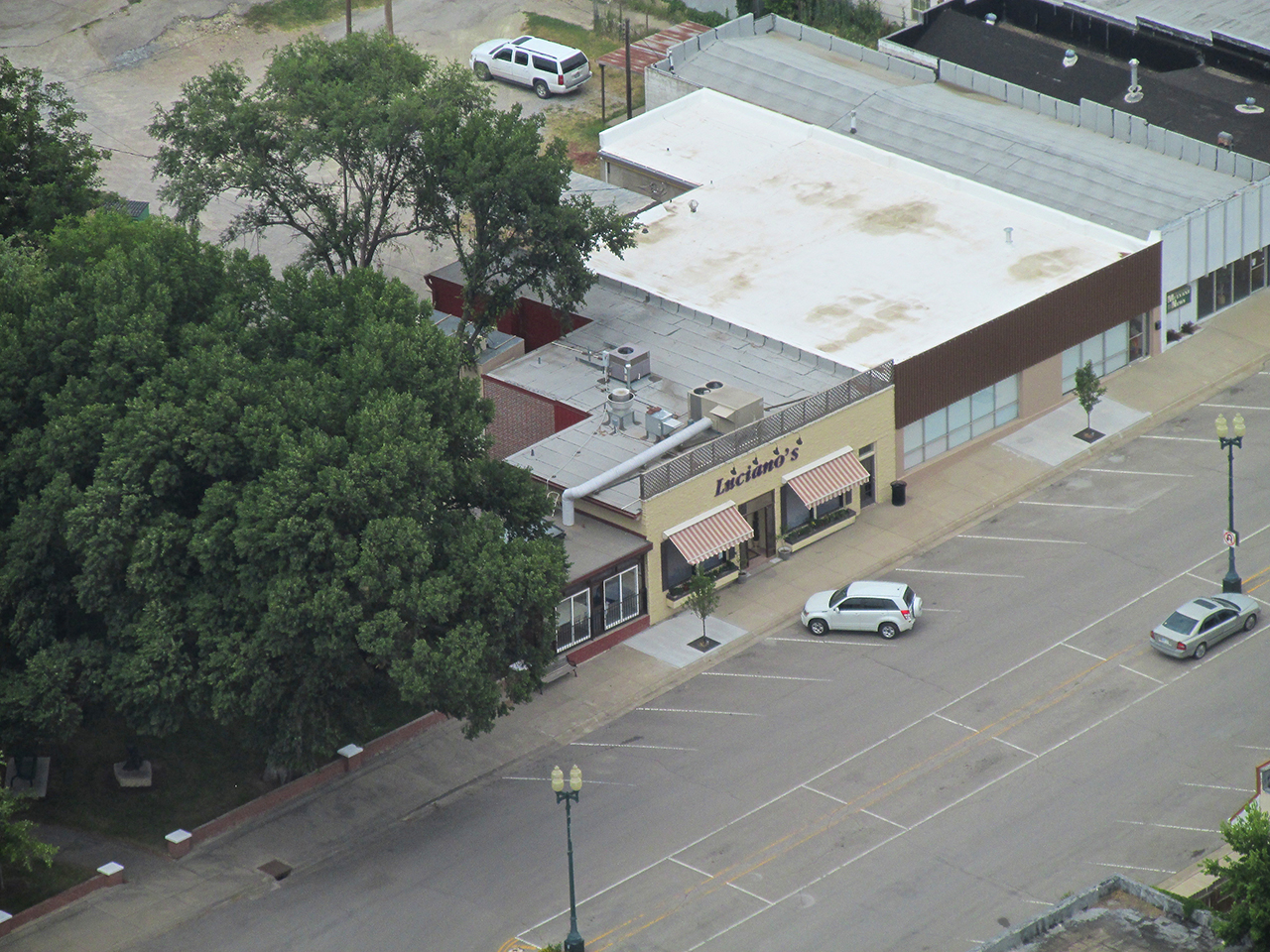
…Two good reasons to visit Mulvane.
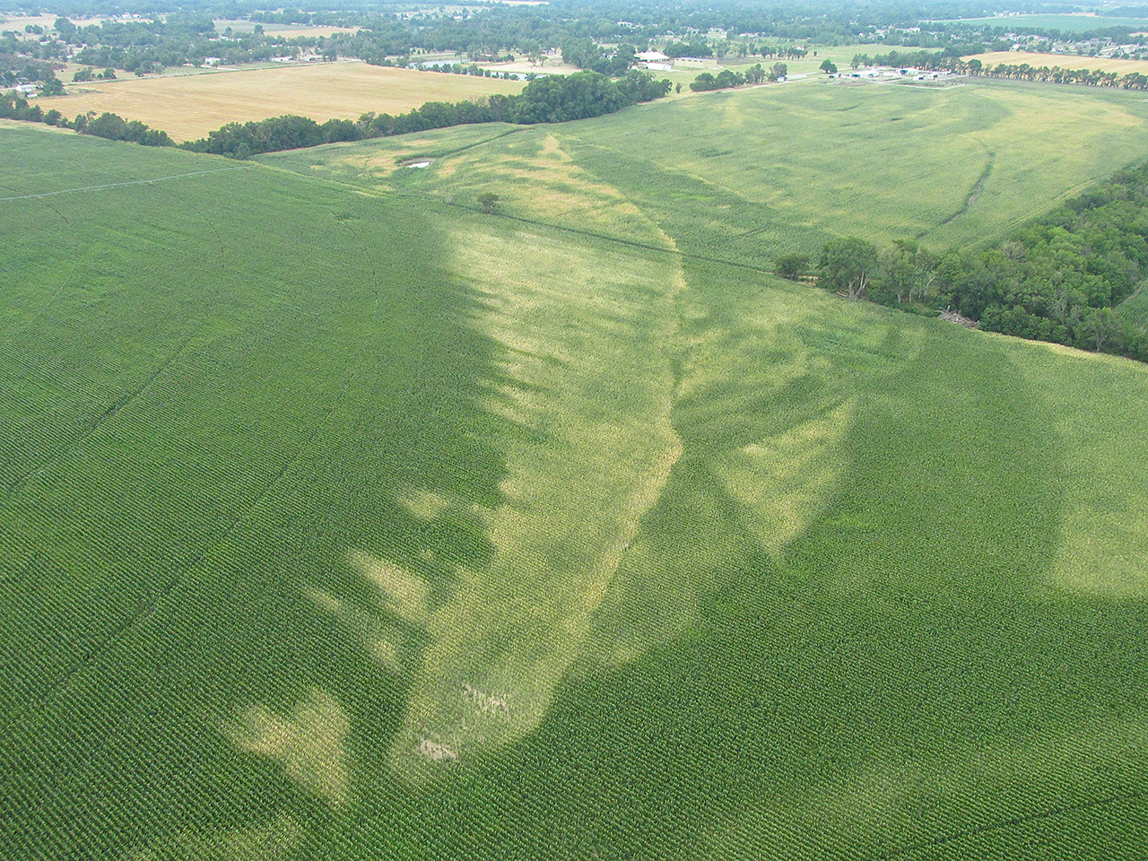
Center Pivots & Underground Water
As I approached Selby Aerodrome to enter the pattern for landing I noticed an interesting phenomenon displayed in the corn growing around the airfield.
To the South of Selby is a large field with two center pivot irrigation units. As happens when you put a round peg in a square hole you can see the areas that lack irrigation coverage. In addition, the field directly to the East of the airfield has no irrigation at all.
Years ago I was told there had been a creek running through this area. Many years prior it had been re-channeled by the ditch and culvert system next to the roads – but it still runs underground. I think this is evident in the growth pattern of the corn that is not under the center pivot irrigation seen in this series. It is obvious why farmers prefer to use irrigation when possible.
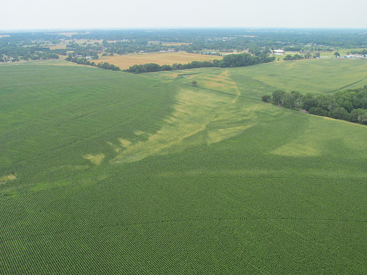
Looking Northwest From 300′ AGL. The field with 2 irrigation pivots is in the foreground; the field with no irrigation to the upper right.
Closer To The Area Of Interest
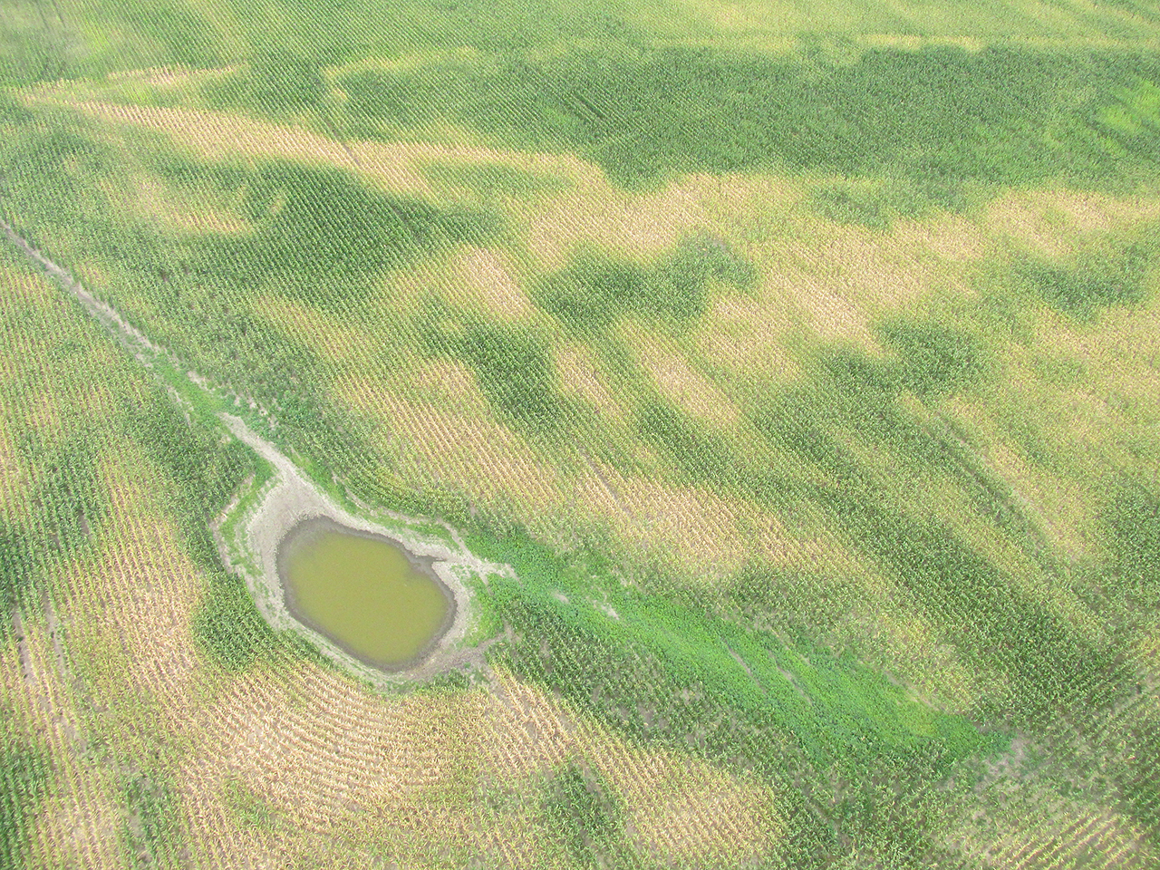
Straight Down On The Unirrigated Section East Of The Airfield
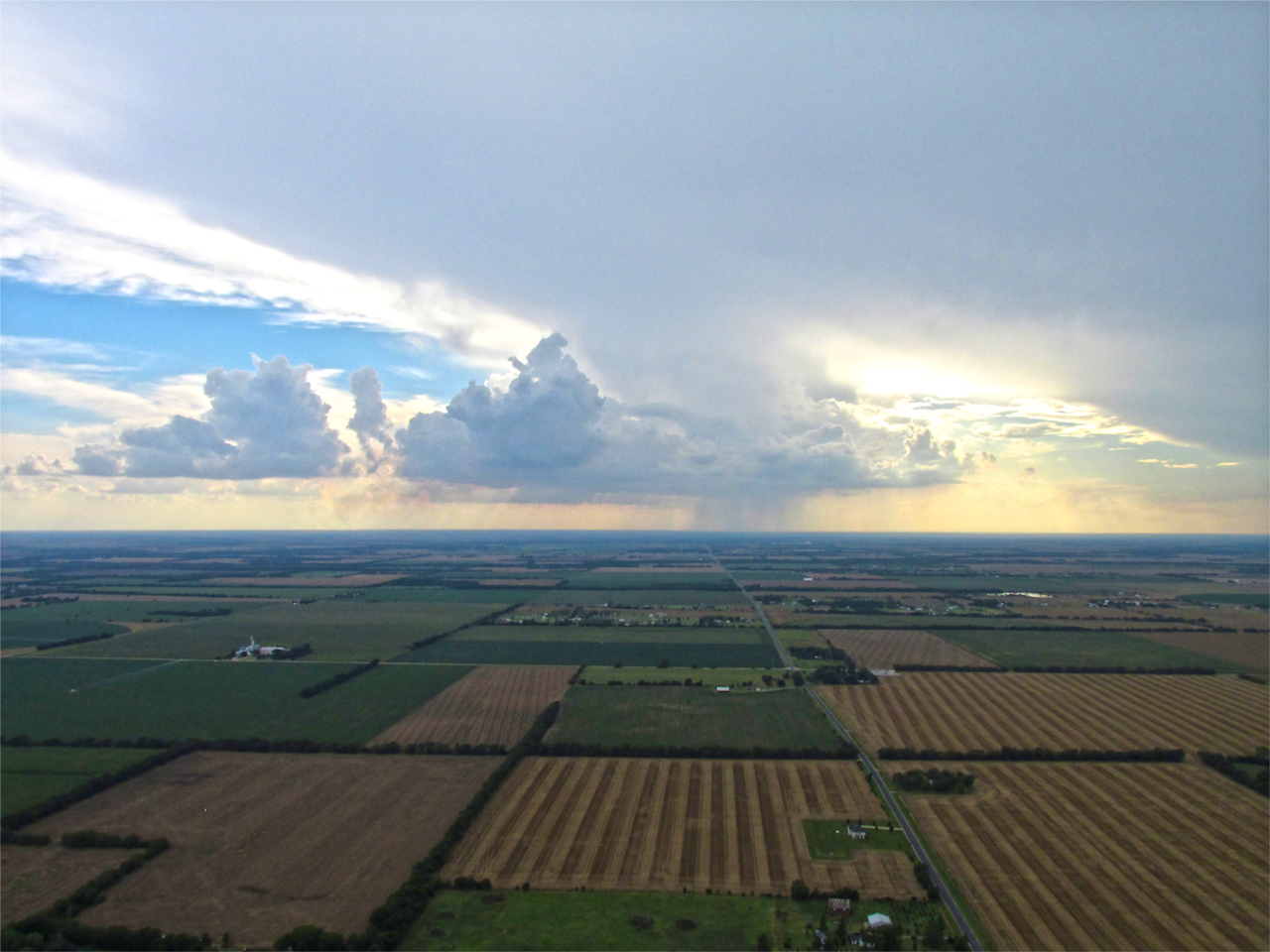
A Different Ending
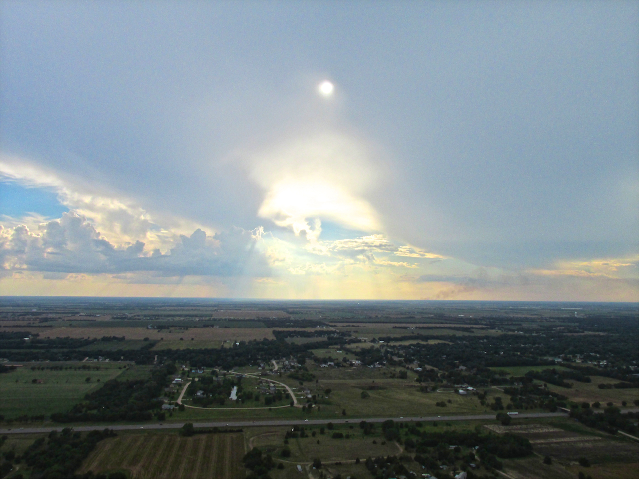
At the end of most of my Sky Surfing Safaris I feature a picture of the airport, airplane, windsock or combinations thereof. I thought for a change to show some marvelous meteorological displays I happened to catch the day following the Pawhuska Flight. That day after Church, I had no mission in mind but only wanted to grab some air and practice stall recoveries.
Never without my camera, I witnessed this majestic scene to the West. I made sure to capture it.
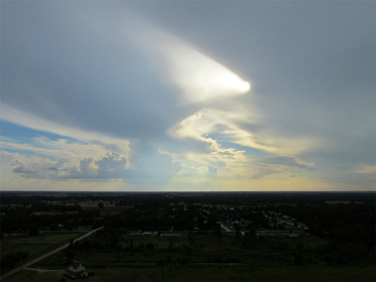
I think of the next two pictures as God’s Unblinking Eye Sweeping The Earth – Searching The Hearts Of Mankind.
See you next flight!
Blue Skies & Tailwinds!™
Brian FitzGerald – Wichita
The Sky Surfer