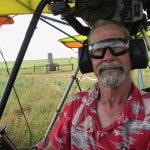
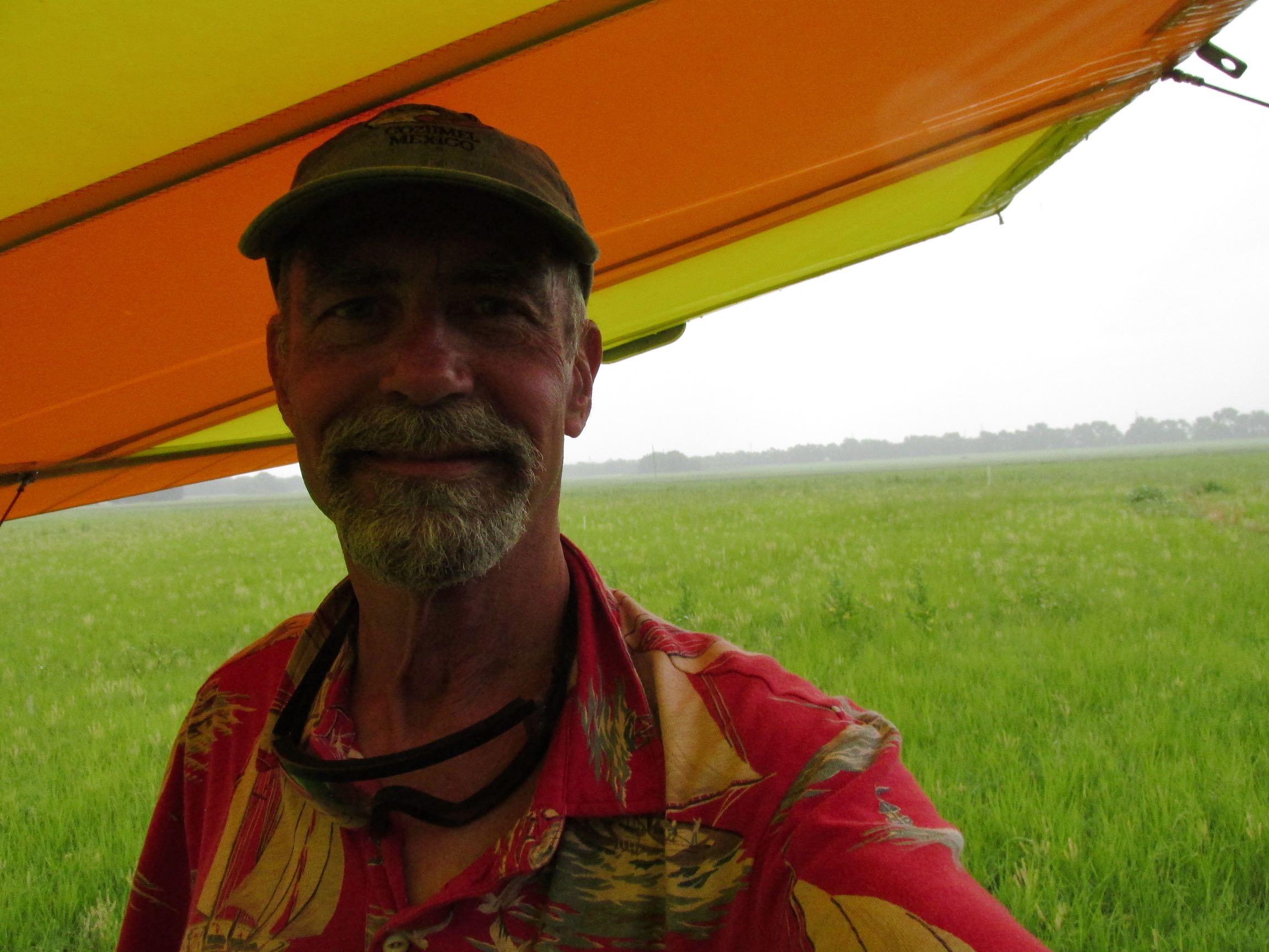
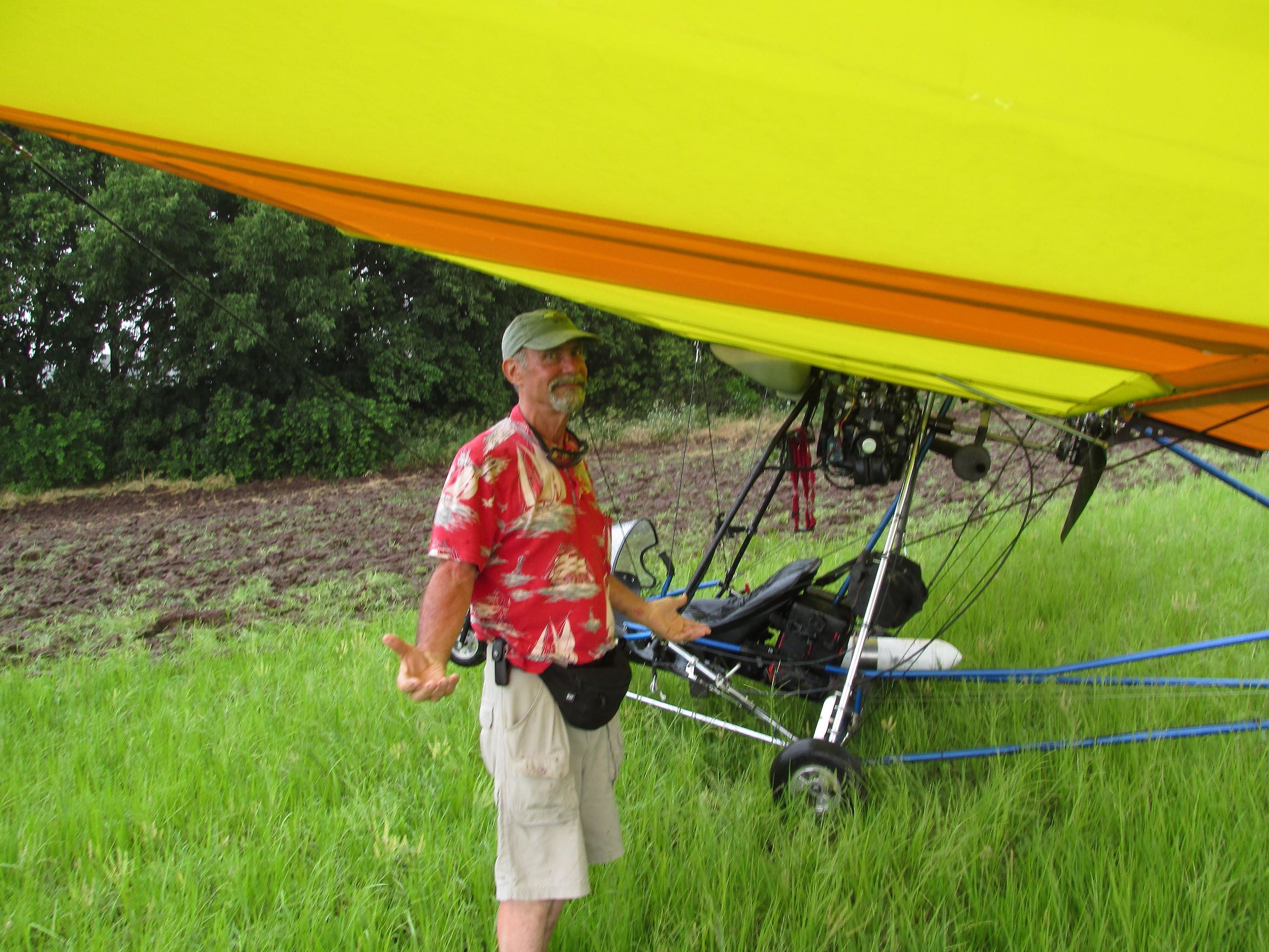
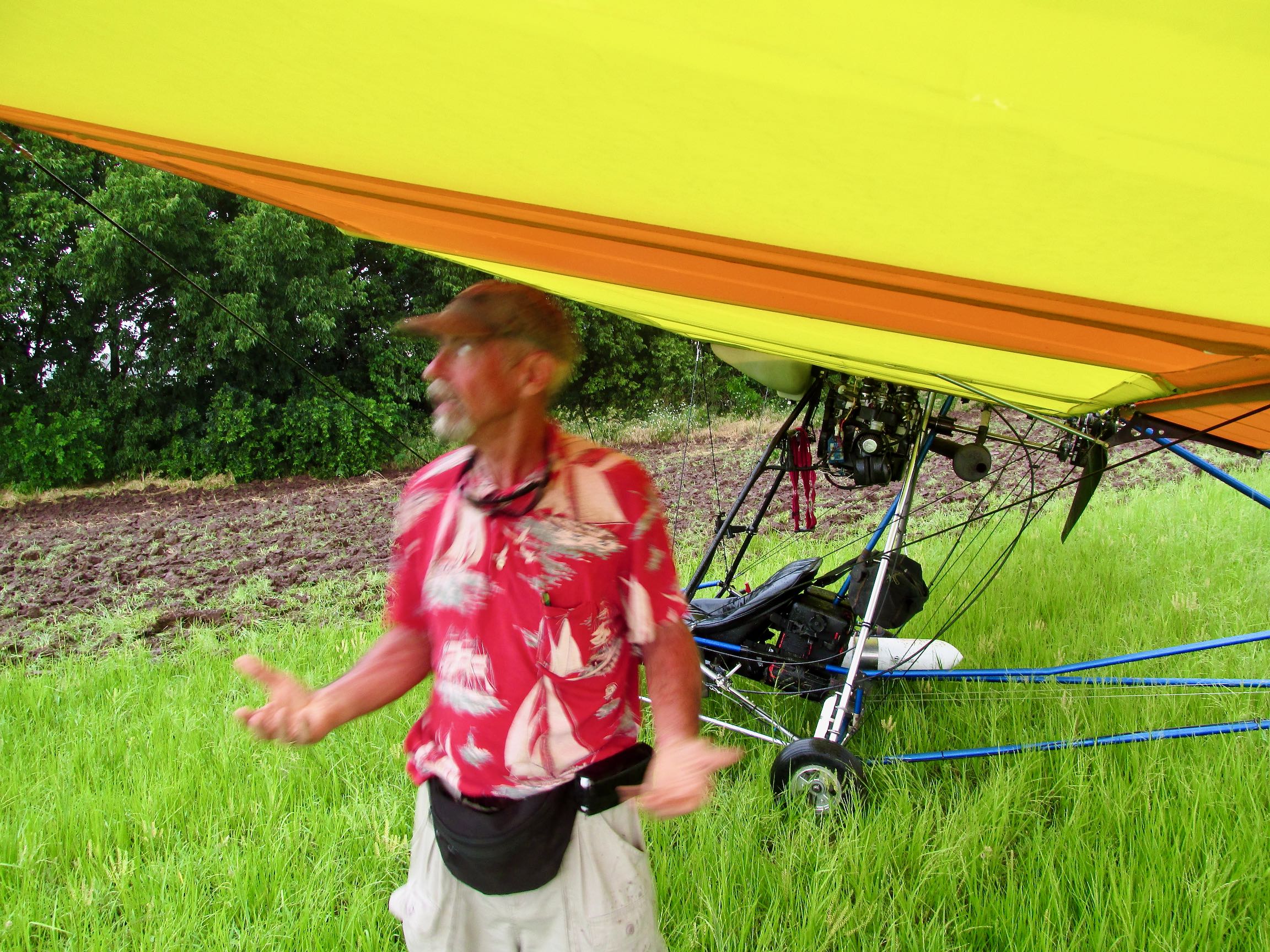
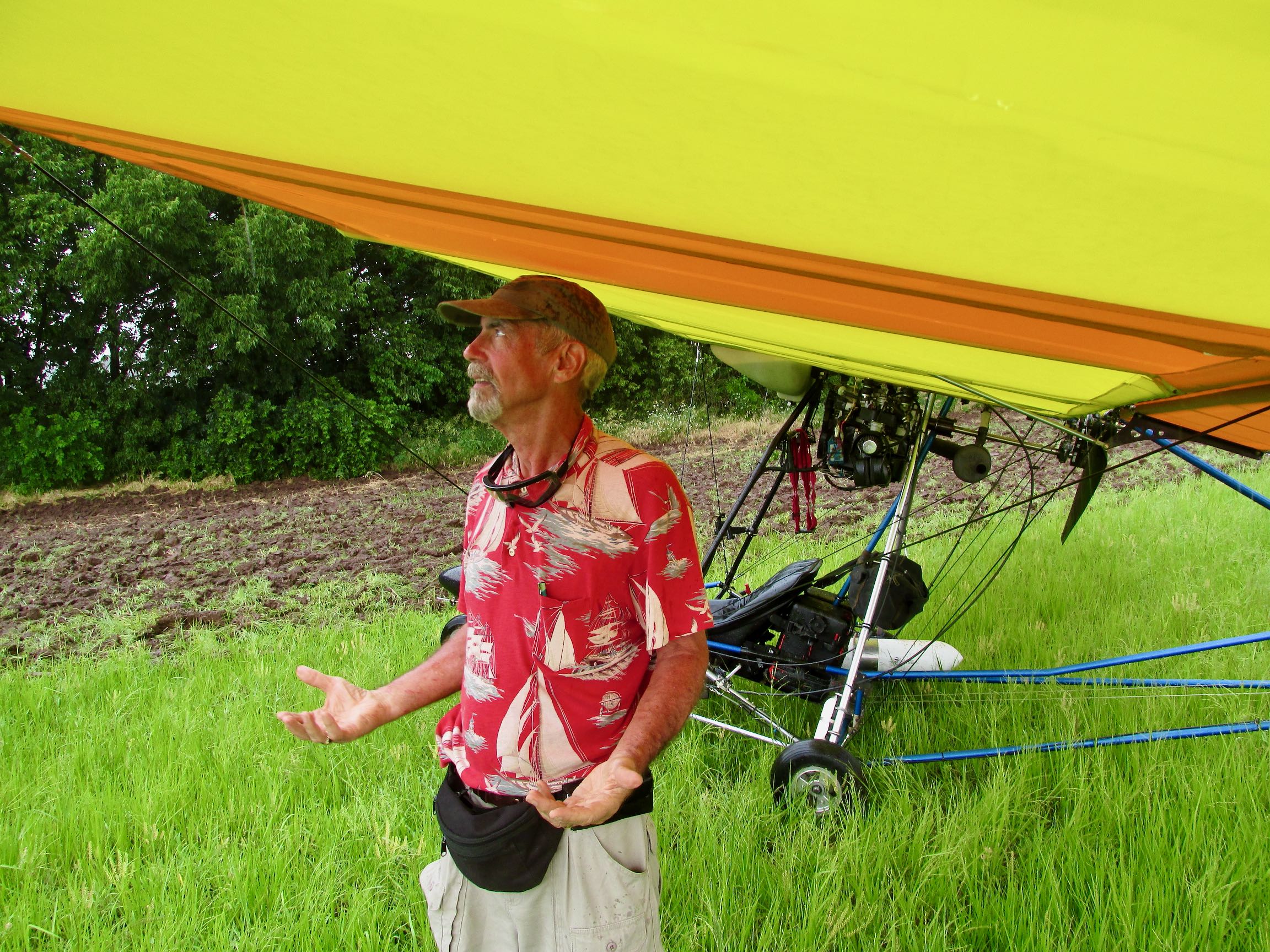
These shots are important to me because they seem so long ago even though relatively recent.
“Another One for The Gipper” is a story I experienced four years ago but finally am getting a chance to post here on The Flite Blog™.
Big Changes
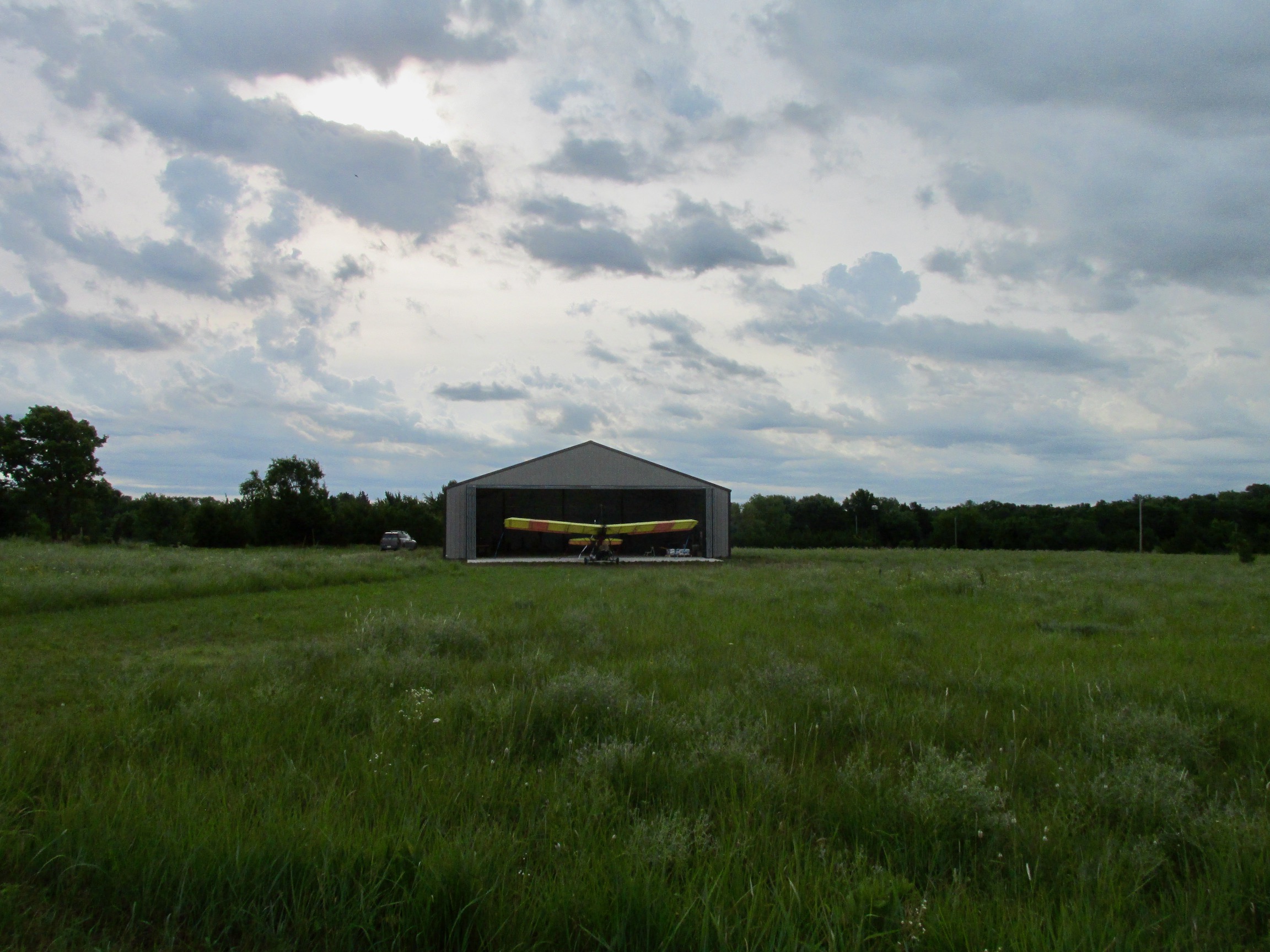
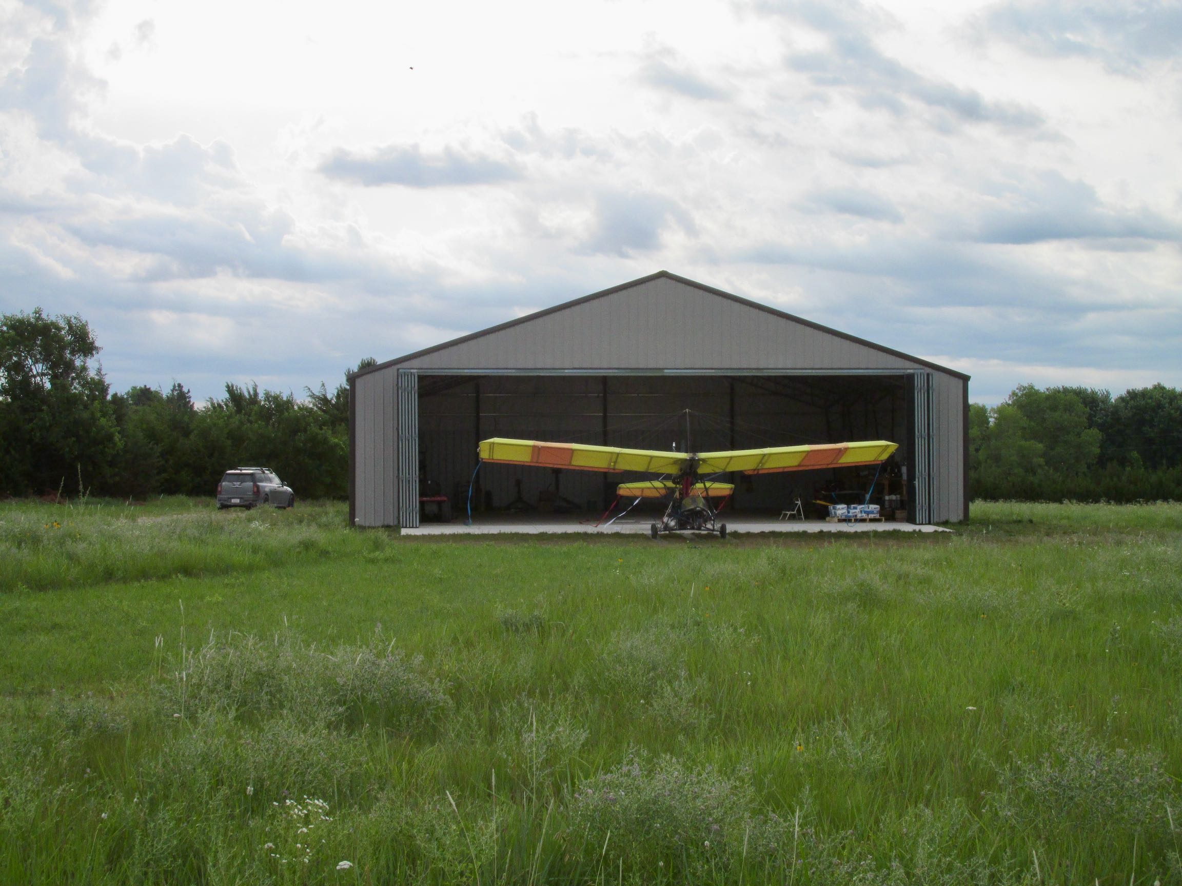
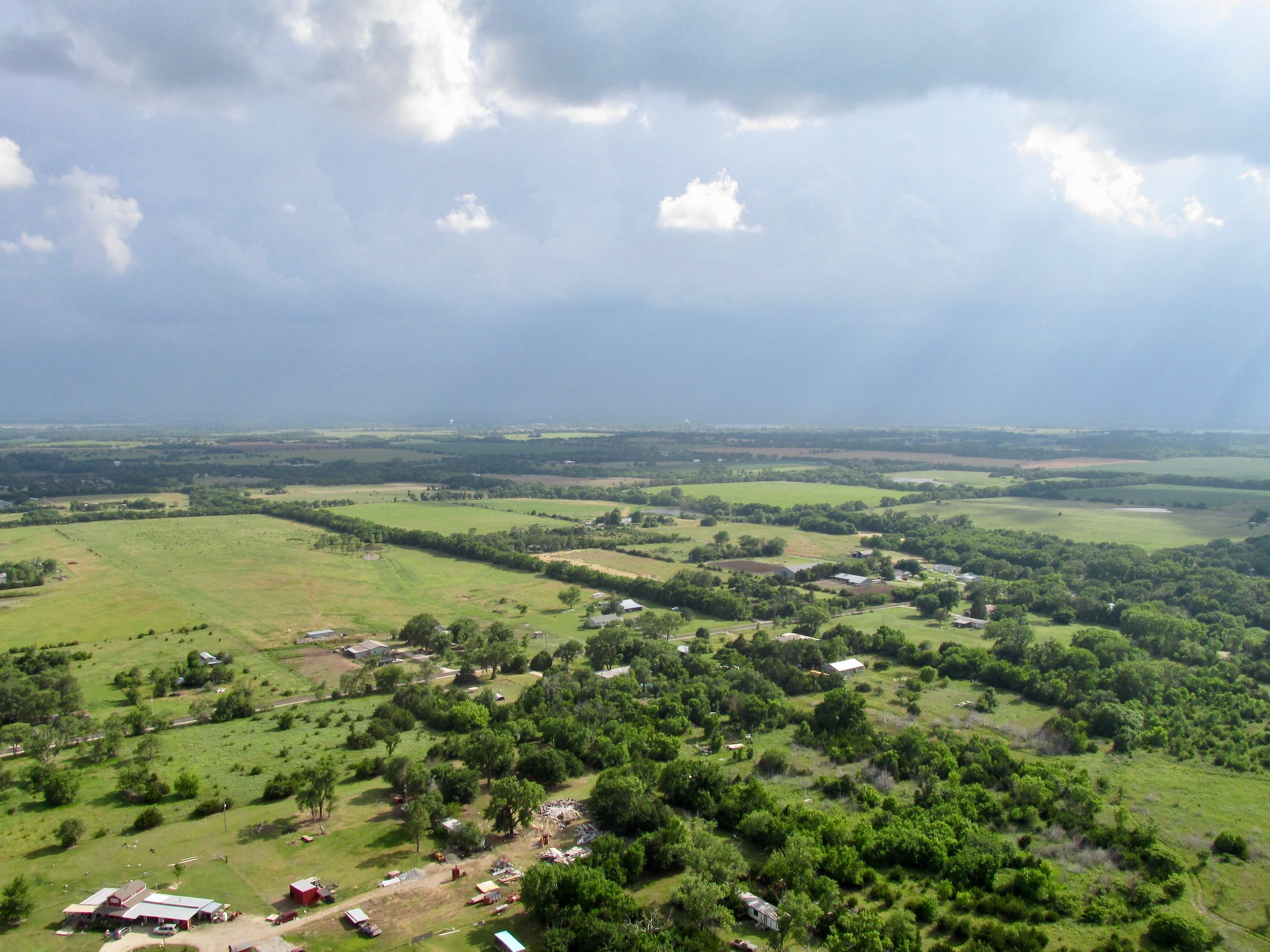
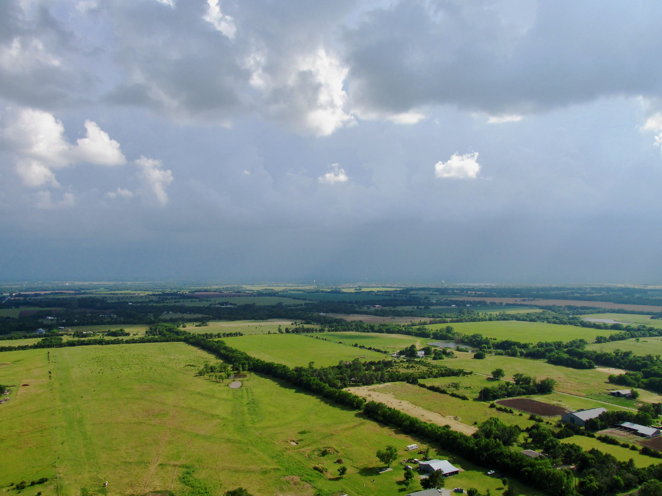
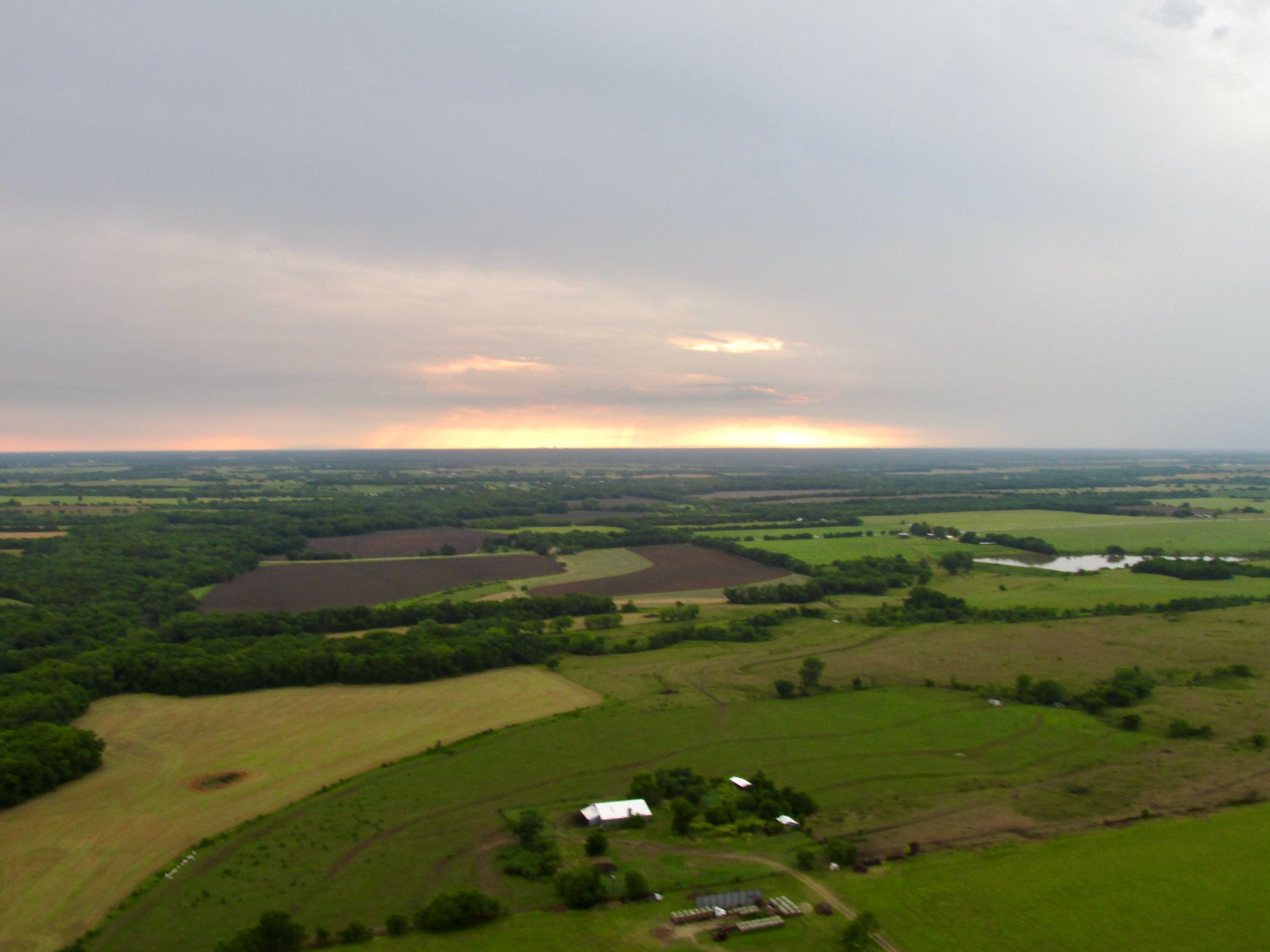
Between the time of “The Gipper” flight (June 2016) and the time of this writing (May 2020) a LOT has changed in the lot shown in the pictures above and in the lives of The Sky Surfer and his Wahine – Debra The Beautiful. These situations have taken an enormous amount of time to accomplish and pushed The Flite Blog™ and the production of new Sky Surfing Movies back – but not forgotten. The Sky Surfer hates to admit this to his loyal readers and the watchers of his YouTube Channel but sorry, new people and new realities took precedence to media creation.
Because I think you deserve to know what I’m talking about, here is a short (but not exhaustive) list of what I speak.
- We have Four New Grandchildren!
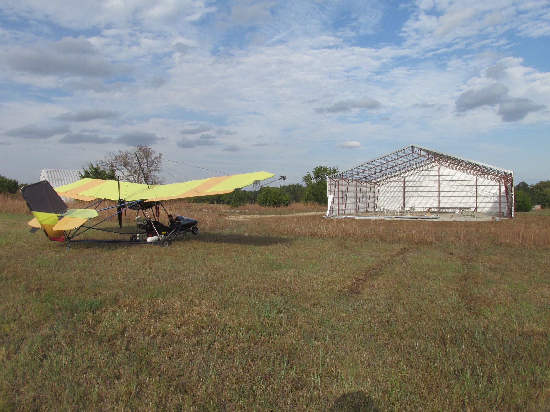
- There is now a brick house to the South of the hangar shown above.
- Surfer installed walls in the hangar.
- Surfer added a photovoltaic solar system to power the bungalow.
- Surfer went crazy and bought a used RANS S-12 in Texas and with the help of Buddy Chuck Gantzer, transported it home.
- After putting the RANS in the hangar, Surf then decided to overhaul the aircraft’s electrical system (with help from Good Buddy Don Forse), replace all the water, oil and fuel hoses and add a forward ballast station to improve weight and balance.
- He also added a 300 gallon fuel tank to the left of the hangar door – again with the help of Aviator Buddy Chuck Gantzer.
- On top of all this, Debra and I moved all our stuff out of our Wichita Home of 30+ years to this idyllic setting in the country.
- I also had to buy a zero turn riding lawn mower because we are sitting on 6+ acres of prairie (I love the way prairie grass looks but the definite possibility of devastating range fires in Kansas requires one to keep his grass cut much lower than you see above).
- There’s more but that’s enough to give you an idea.
- (Oh, and I still am attending to my Advertising Business of 35+ years…)
Relentless
I can only speak for myself because I don’t know what goes on in other people’s heads. For me, though, getting this story done has occupied the background of my mind (along with a movie I have in the can) all that time! God put a strong need to “finish things” in my character. I’m not bragging because there are a lot of times I would just as soon let them go. That’s not to say there haven’t been some projects that I have lost interest in OR decided that they weren’t worth “throwing good money after bad”…
Anyway, this “Gipper” story is just too important not to finish…
Ambitious Plan
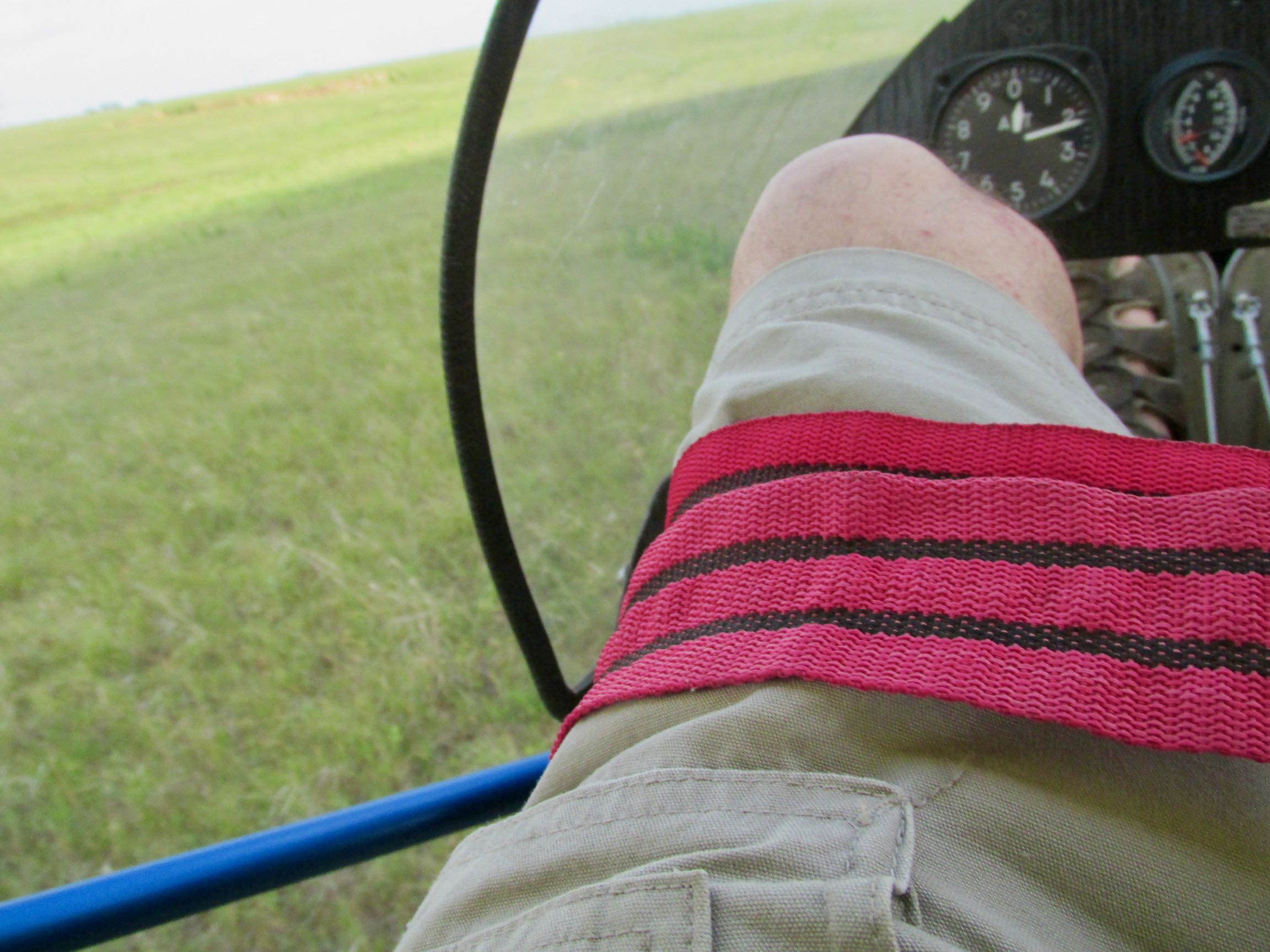
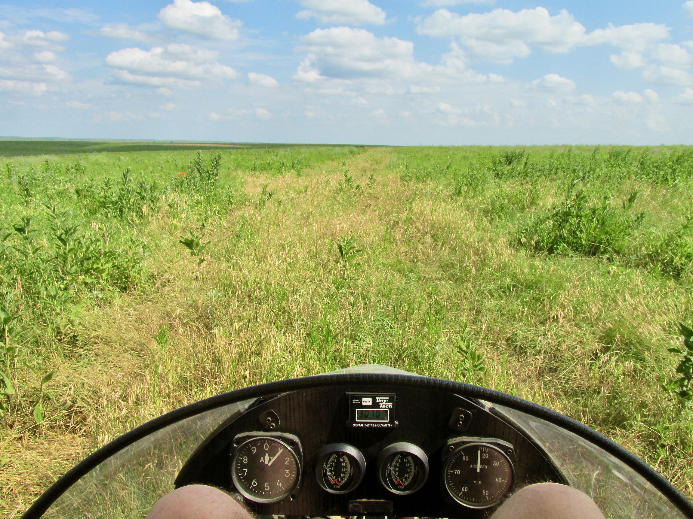
Once I got airborne that morning I was more focused on flying than taking pix. It was hazy and the visibility at first was not that great. I had an ambitious schedule planned. My first stop would be the annual Benton Days Fly-In. I have attended it from the air and ground many times and always found it delightful. After hanging out at Benton for a while I planned to visit a famous site that I had only seen by satellite photos. I only had the position fixed in my GPS and had a pretty good mental picture of its general direction but that’s all. One of the great things about flying in The Great Plains is that the roads below generally lay out like a big map. They go North/South and East/West. It’s like looking down at a big sectional map. So that is very helpful. Regardless, I have been using a Garmin Hiking GPS for years now and it gets me to my destinations. I have never used a compass.
Going to an Airplane Crash Site???
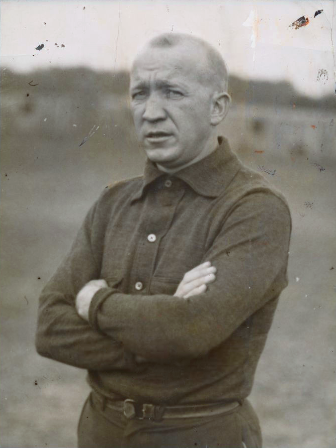
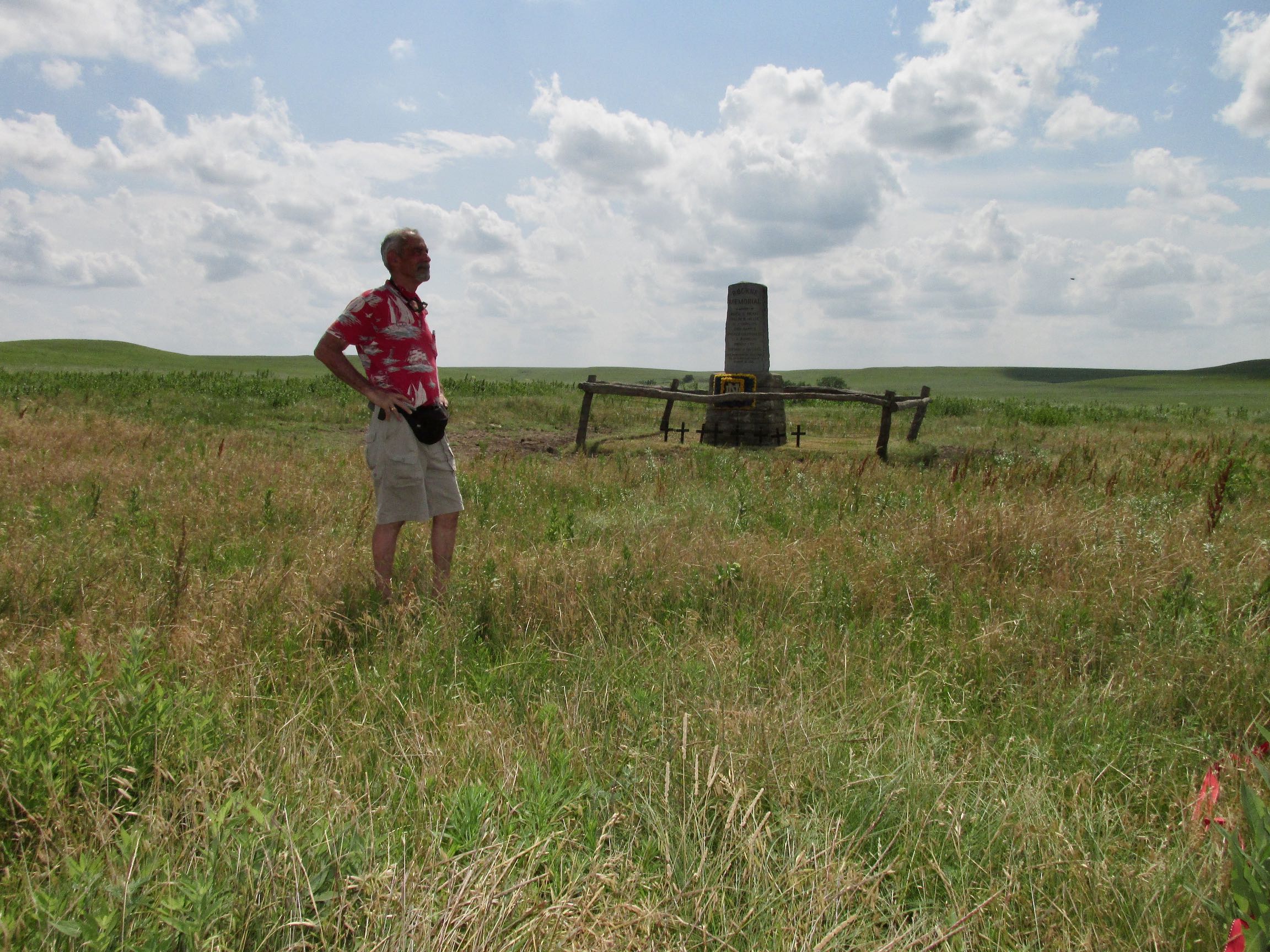
Yes. I know aviators avoid crash sites if at all possible. But this is not just any crash site. On a lonely hillside in the plains of East Central Kansas is the place where the most famous football coach in history met his Maker: Knute Rockne.
I had driven past the memorial on The Kansas Turnpike near Matfield Green many times and had stopped in to look at it once. I assumed that was the location of the crash. A while back someone mentioned to me that was not the case. So I did some research and was able to locate the crash site on a map.
A Sky Safari was born!
Two Birds – One Stone
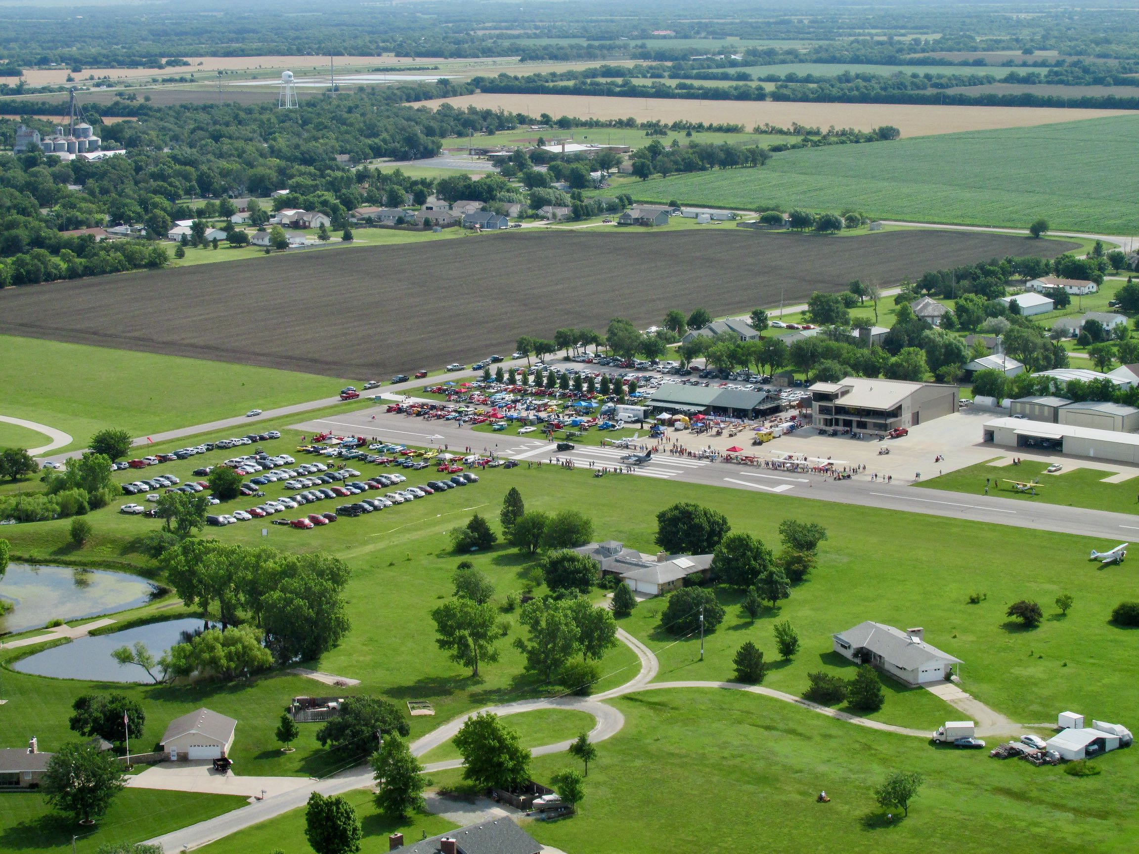
My calendar reminded me of a favorite Fly-In Venue: The Benton Airport Annual Fly-In and Car Show. (A good way to find what’s happening at this famous airfield is the restaurant website HERE.) I try to make the annual event if possible. But this year, I decided if the weather cooperated, I would drop in to the Stearman Fly-In early and then continue on to locate Rockne’s final destination.
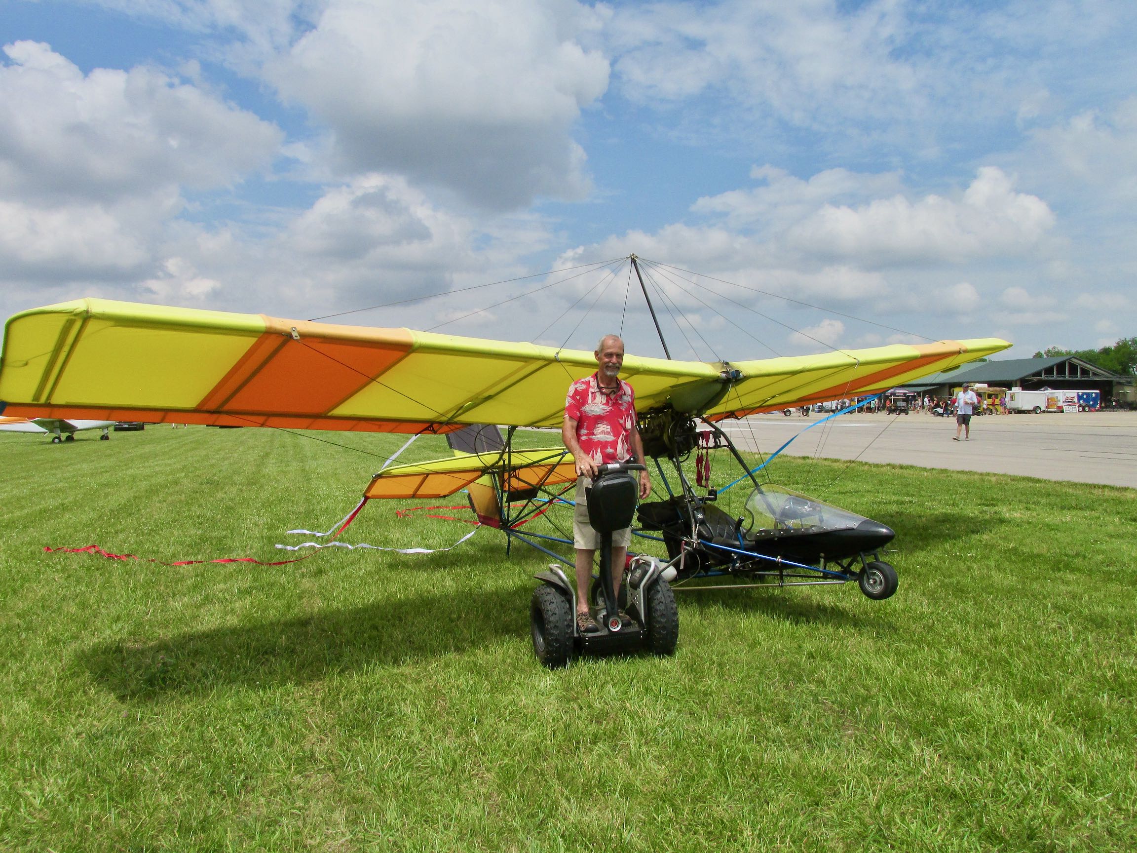
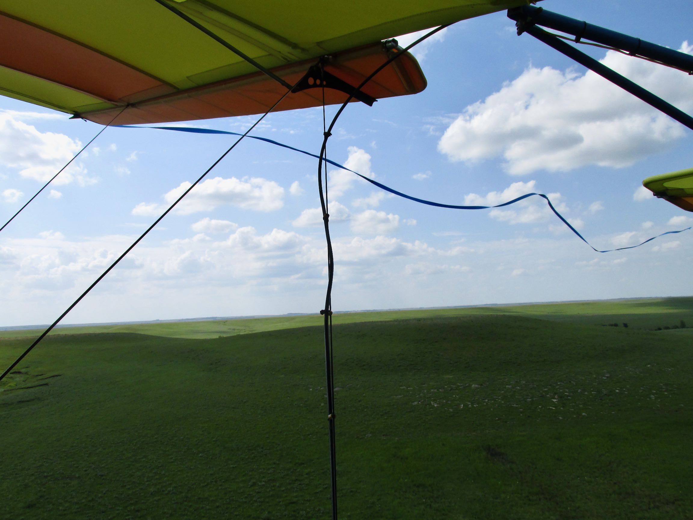
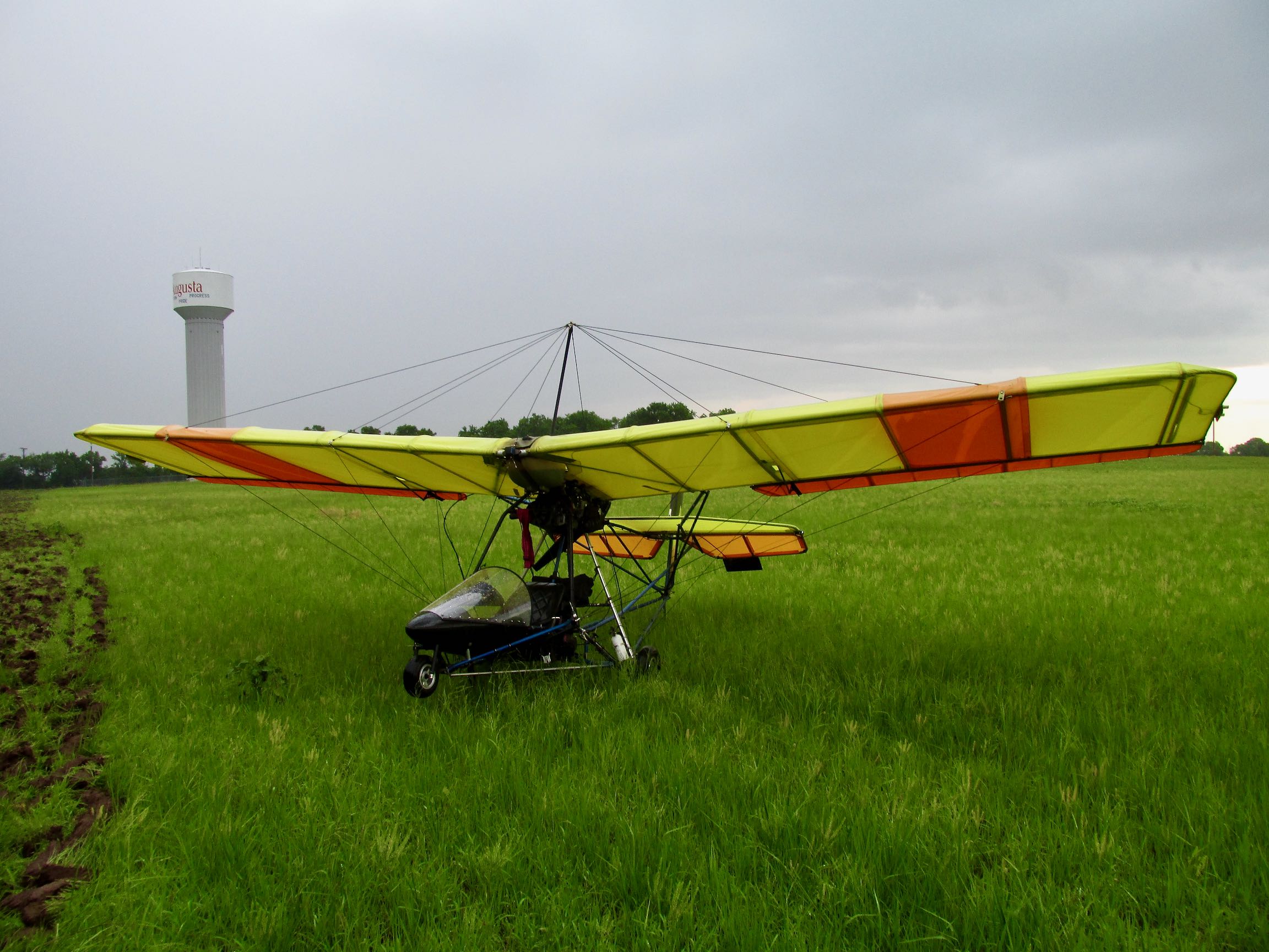
Normally when I take a picture like the one you see above, I would leave out the wing and the wing cables. This time, though, I wanted you to see the blue streamer swirling from my wingtip. Actually, I have a better shot below of the MXL that my Buddy Captain Doug Moler shot at one of his Fly-Ins.
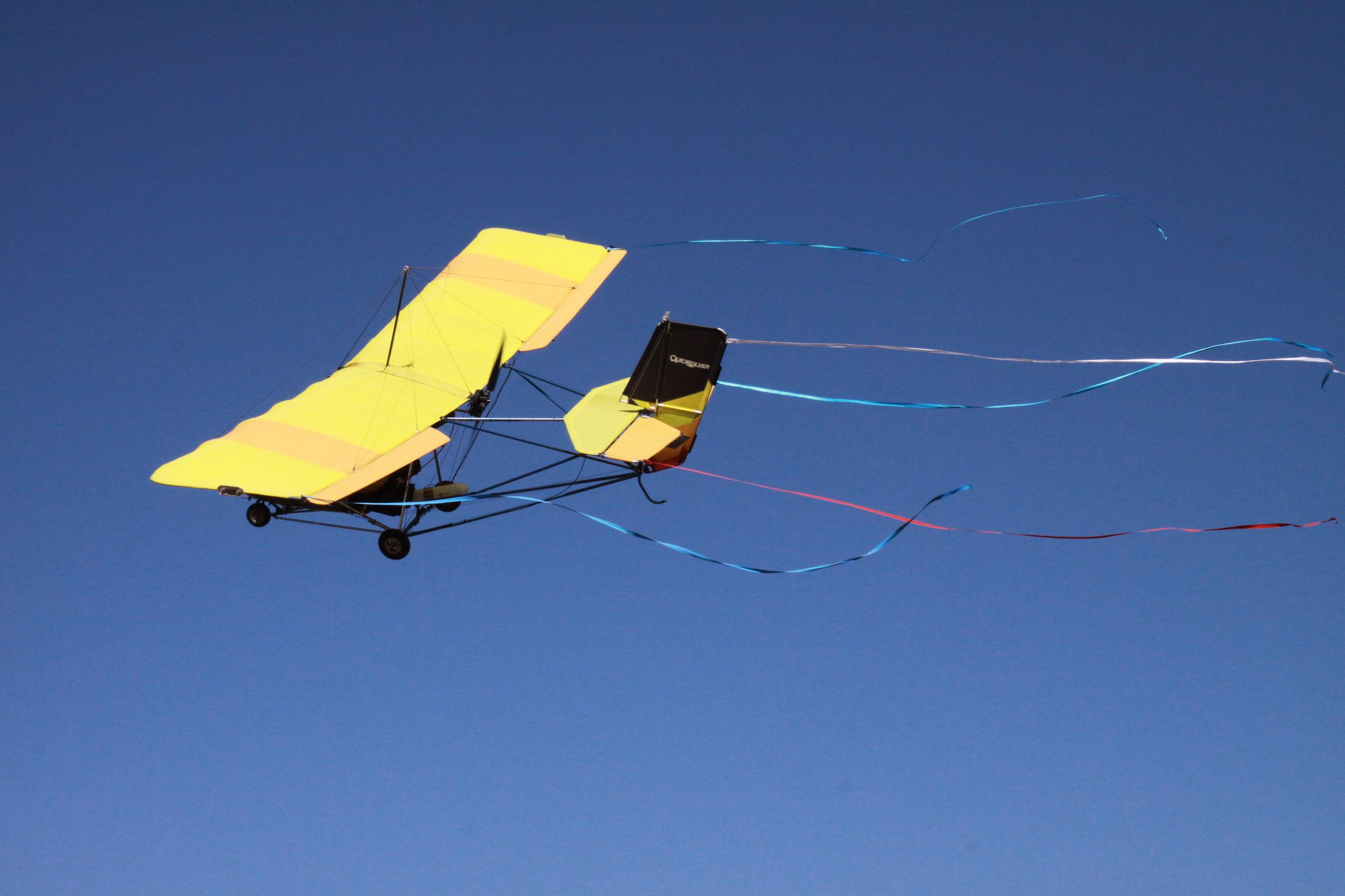
Photo by Captain Doug Moler.
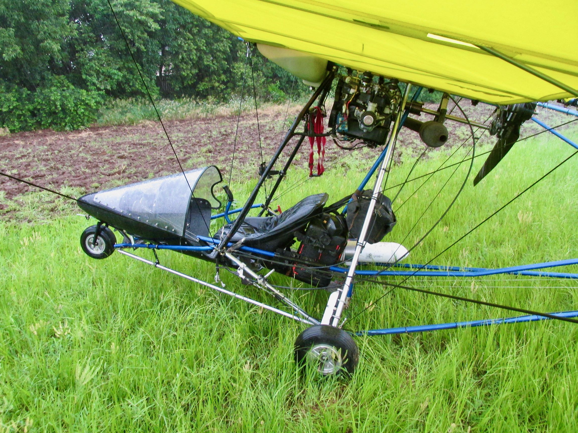
One day a few years ago, I was given the idea to add streamers to the Ultralight on special occasions. I tested the concept first by attaching some short ribbons to the ailerons in order to see if they negatively affected the controls. I could tell no difference. So I gradually lengthened them to what you see above.
The big issue with the streamers is during taxi time. It is imperative for me to remember to keep the nose heading into the wind so they don’t get pulled into the prop. One time after leaving the active runway (it was actually an earlier Benton Fly-In), a guy was trying to help me by leading me to a tie down. While watching him I had forgotten the streamers were attached. That is until I came to a sudden stop. The left wing streamer had wrapped around the left main gear and pulled taut. I learned at that point that the velcro attach method is much stronger than I assumed it would be. Velcro did not “release” like I thought it would.
One of the guys was in his hangar and saw what happened and let me use a small jack. With it I was able to unwind the streamer from the axle. No damage was done…
Short Flight
The flight from Blue Sky Ranch to Benton is relatively short. Even though there are interesting things to see on the way, I chose to limit my picture taking so I could be alert to air traffic. It was a nice day so I figured there would be a lot of aircraft flying into the show.
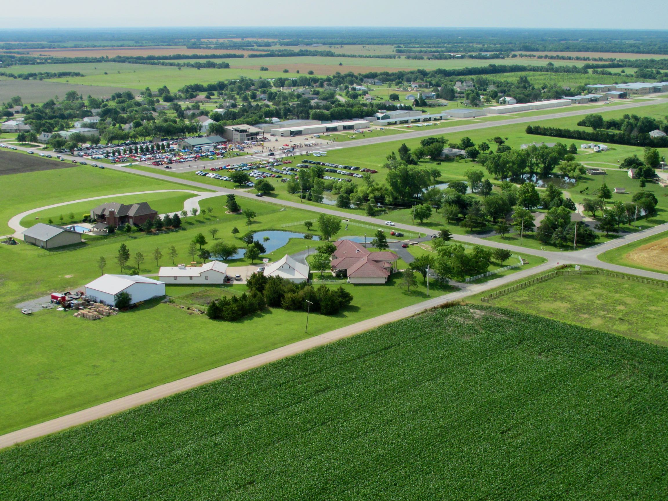
I took a number of shots after entering downwind in the pattern so you can get that perspective.
Note the Stearman taking off on the grass runway at the extreme right.
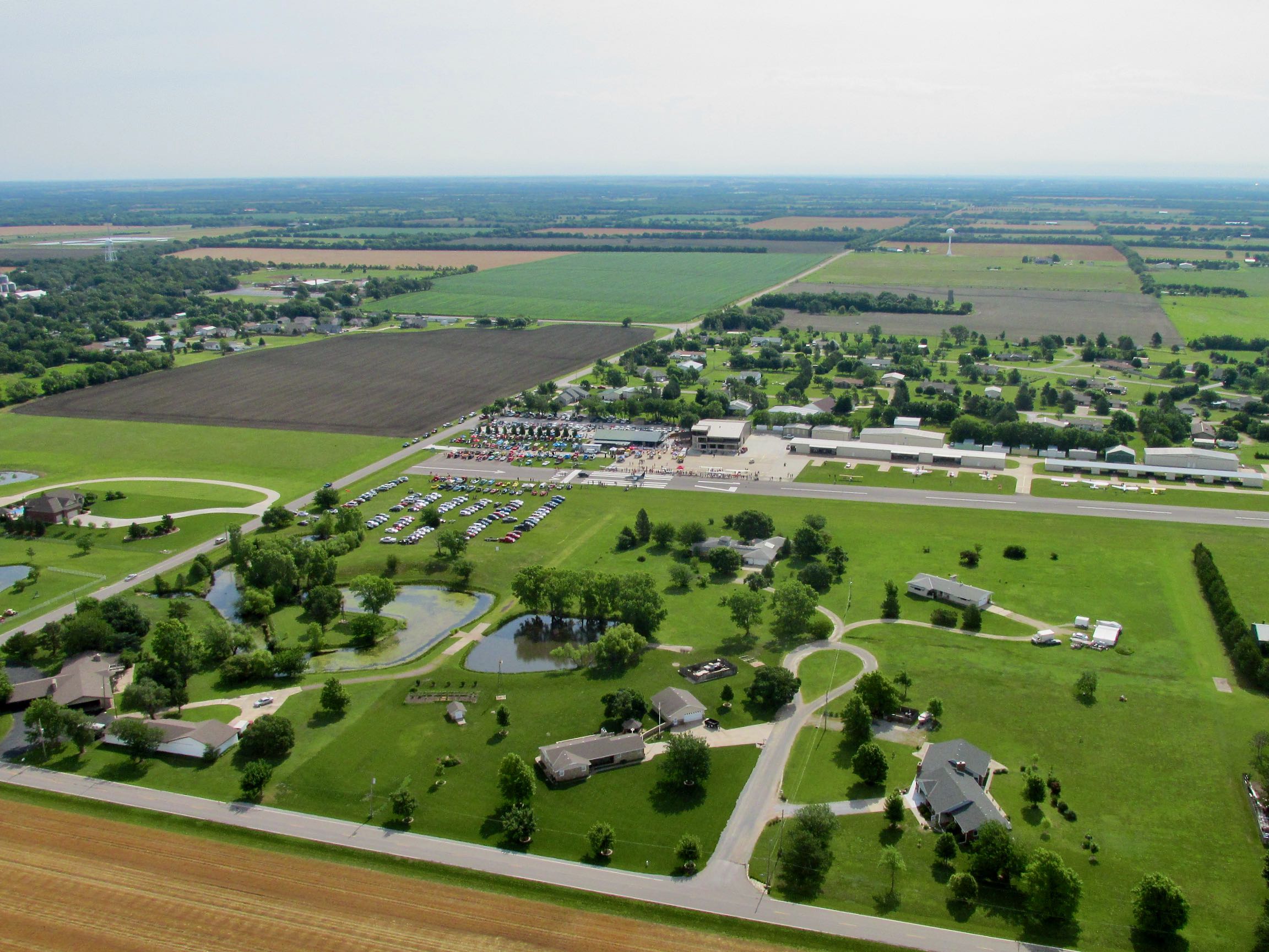
NOTE: The nice house with the swimming pool at the far left of the shot is the home of my Buddy Victor Riffel. I did a piece on him and his Stearman BiPlane for the 3rd part of my Vintage Airplane Series “That They Might Fly Again”. Check it out HERE.
Something for Everyone
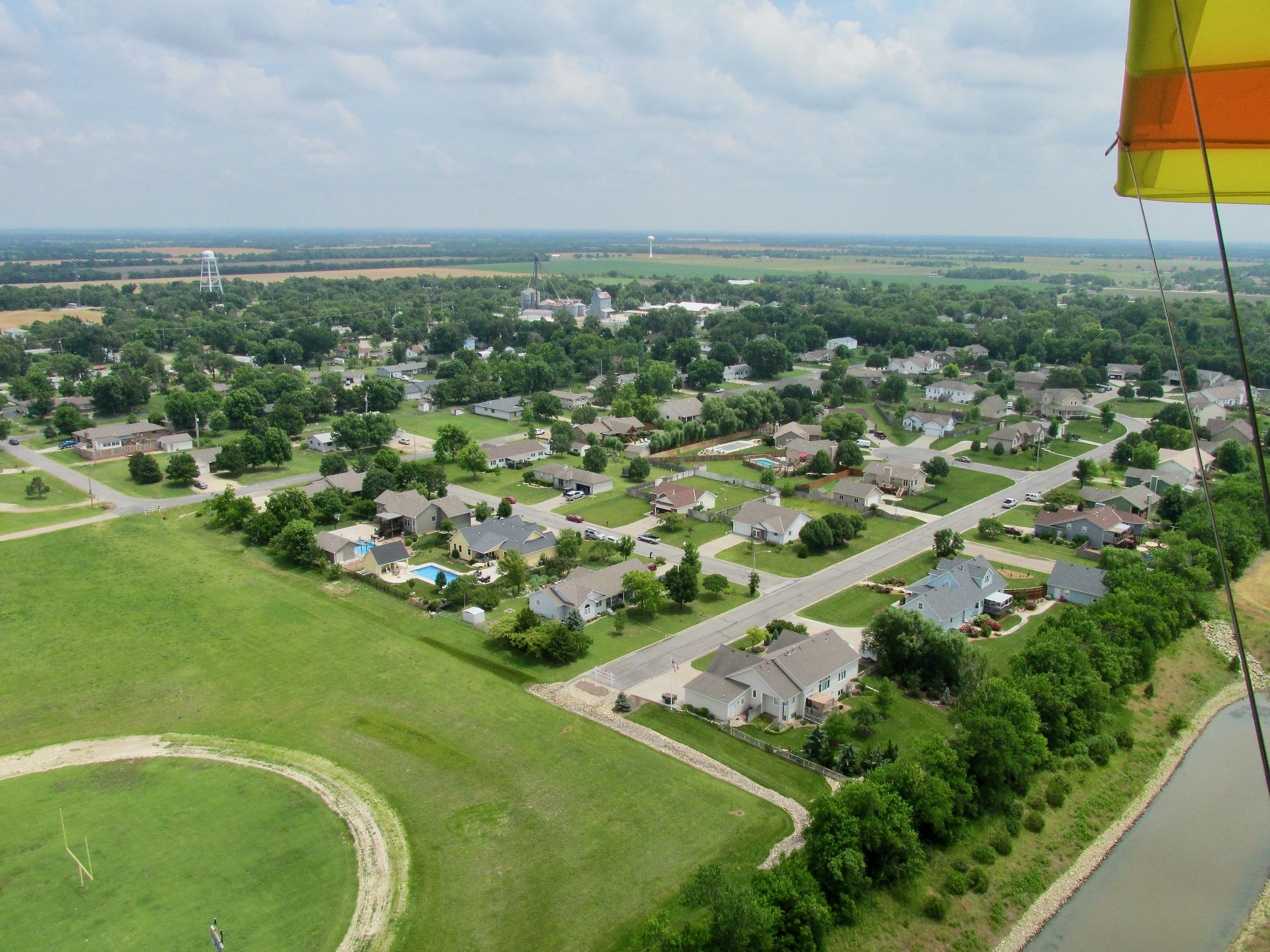
There has been a trend at Fly-Ins lately to include a car show and this was of that ilk. The Wichita Corvette Club brought their cars out and positioned them at the North end of the runway. Also, for the first time, visitors’ cars were parked on the North end of the grass runway. This was very interesting for me. If you look at the shots above, you will see that Stearman Field sports a grass runway parallel and to the West of the asphalt runway. If I have a choice, I always land on grass and thus it would be that day. Doing so allowed me to pass over that large parking area at a fairly low altitude and wave to the folks below – that is – after I made a pass or two around the field to show my American streamers.
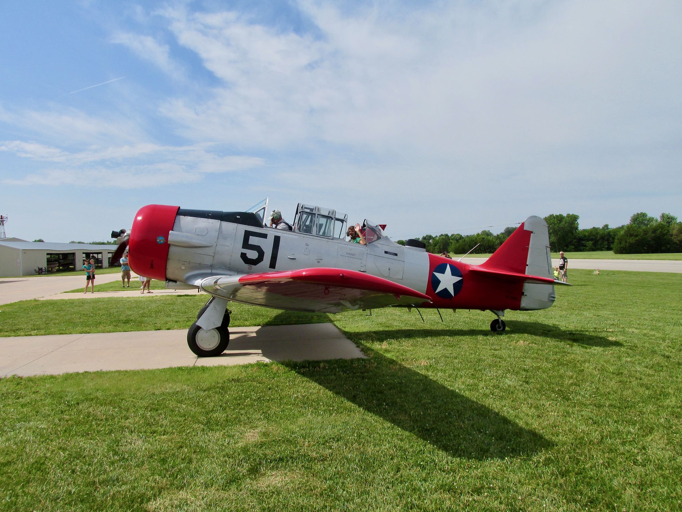
I had not even the chance to tie my Quicksilver down when the spotless T-6 shown above pulled into the slot next to me. Note the young guy in the back waving after an excellent ride for sure!
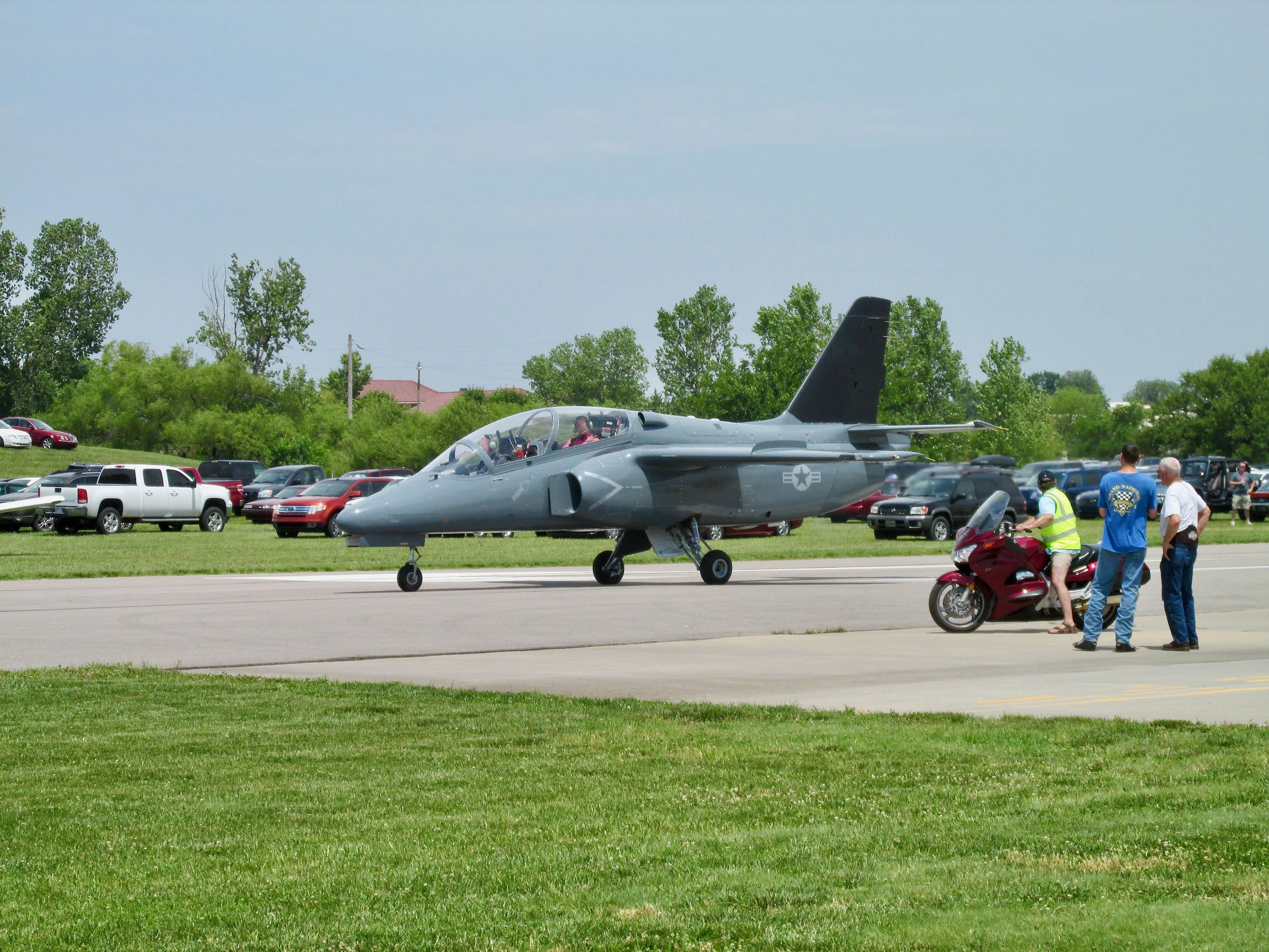
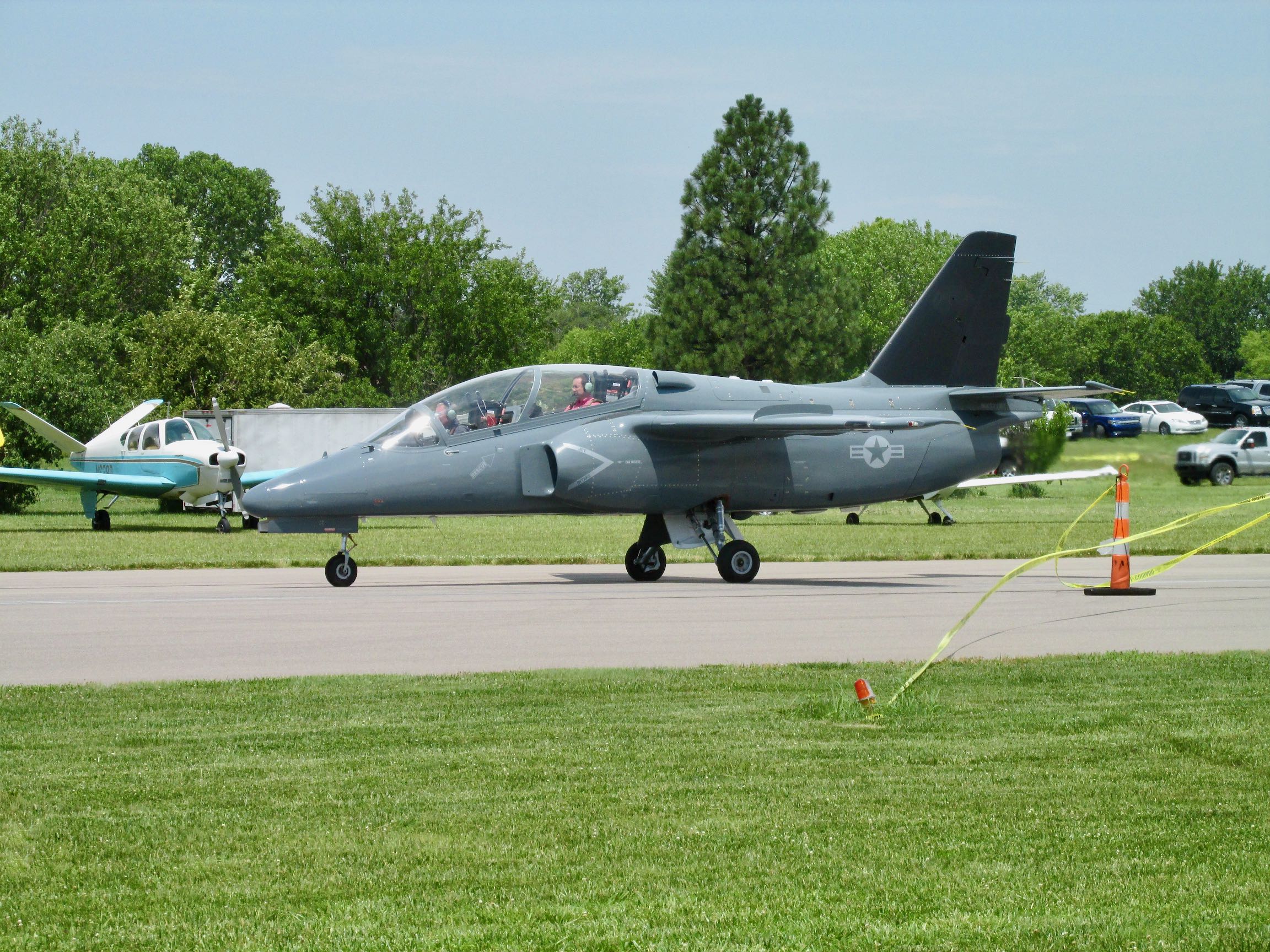
After saying Hi to the T-6 boys, I only had to walk 20 yards to check out this Marchetti. When I was about 7 miles out I saw it maneuvering North of Benton preparing to land. Even though I couldn’t make out what it was, its speed and small size indicated some type of jet fighter.
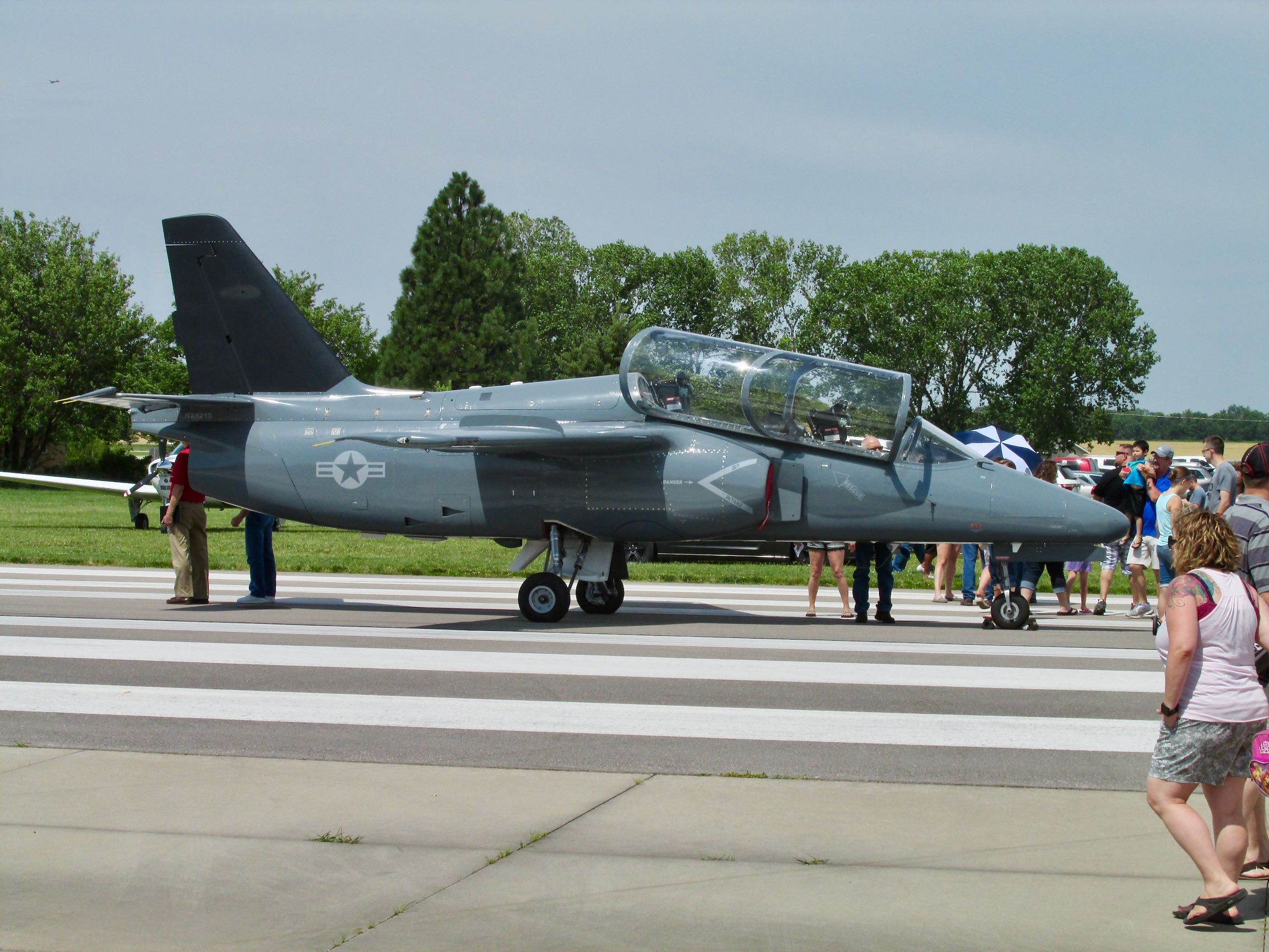
The owner lives in Helena, Montana. When you have a jet, you can drop in to a Fly-In from several states away.
The 211 was a contender for the U.S. Joint Primary Aircraft Trainer (JPATS) in the 1990’s but lost to the previously shown airplane’s namesake – The T-6 Texan II. Actually a Pilatus, the Texan II was built by Beechcraft. We see them flying around the Wichita area frequently.
The Siai Marchetti was sold to a few nations after losing the JPATS competition. It has a great setup for a trainer with the instructor sitting a bit higher than the student in a tandem arrangement.
I don’t know if they had a few other Fly-Ins to hit that day but they fired it up not long after I arrived and left for parts unknown.
(NOTE: The V-Tail Bonanza owned by my Good Buddy Captain Doug Moler is at the left, just beyond the nose of the S-211)
Relentless
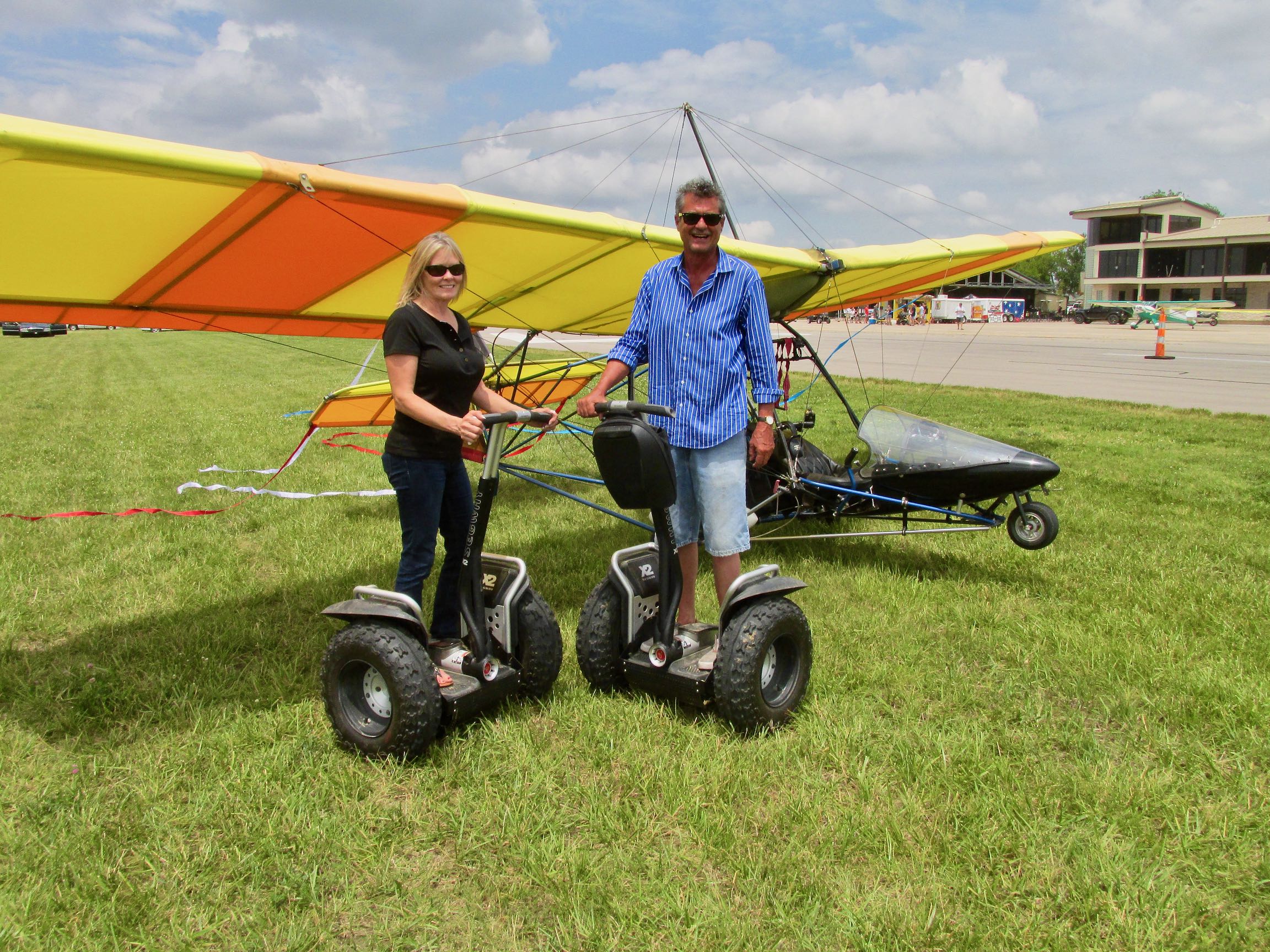
When I get an idea in my mind, I am driven to complete “the mission” and that day was no different. Even though things were just getting started at the Stearman Field Fly-In, I had a good way to go in my attempt to find the Memorial. So, I pushed my streamer clad flyer across the active and on to the grass field for takeoff.
After positioning myself for takeoff, the folks you see below came motoring over to look at the MXL. I gave them the tour and mentioned I had never ridden one of those two-wheelers. They insisted I take it around the patch for a minute – which I did.
Destination Unknown
Even though the Rockne Crash Site is memorialized at a rest stop on the turnpike, relatively few people have been to the actual site of the crash. Using satellite imagery, I was able to pinpoint it on my GPS and would be seeking it that way. Assuming I could find it, once I had a visual I would have to determine if I could land. Here are some sights along the way…
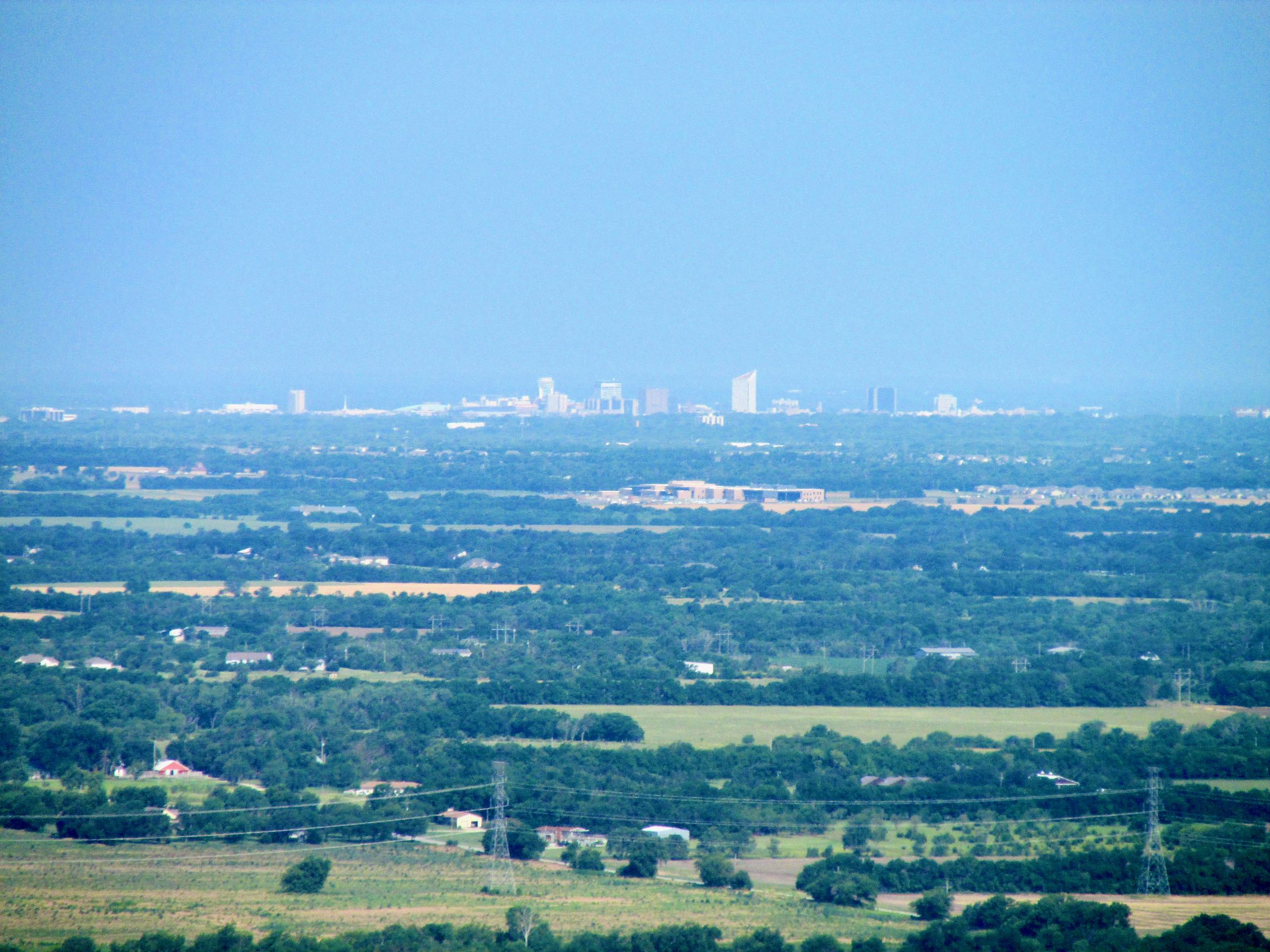
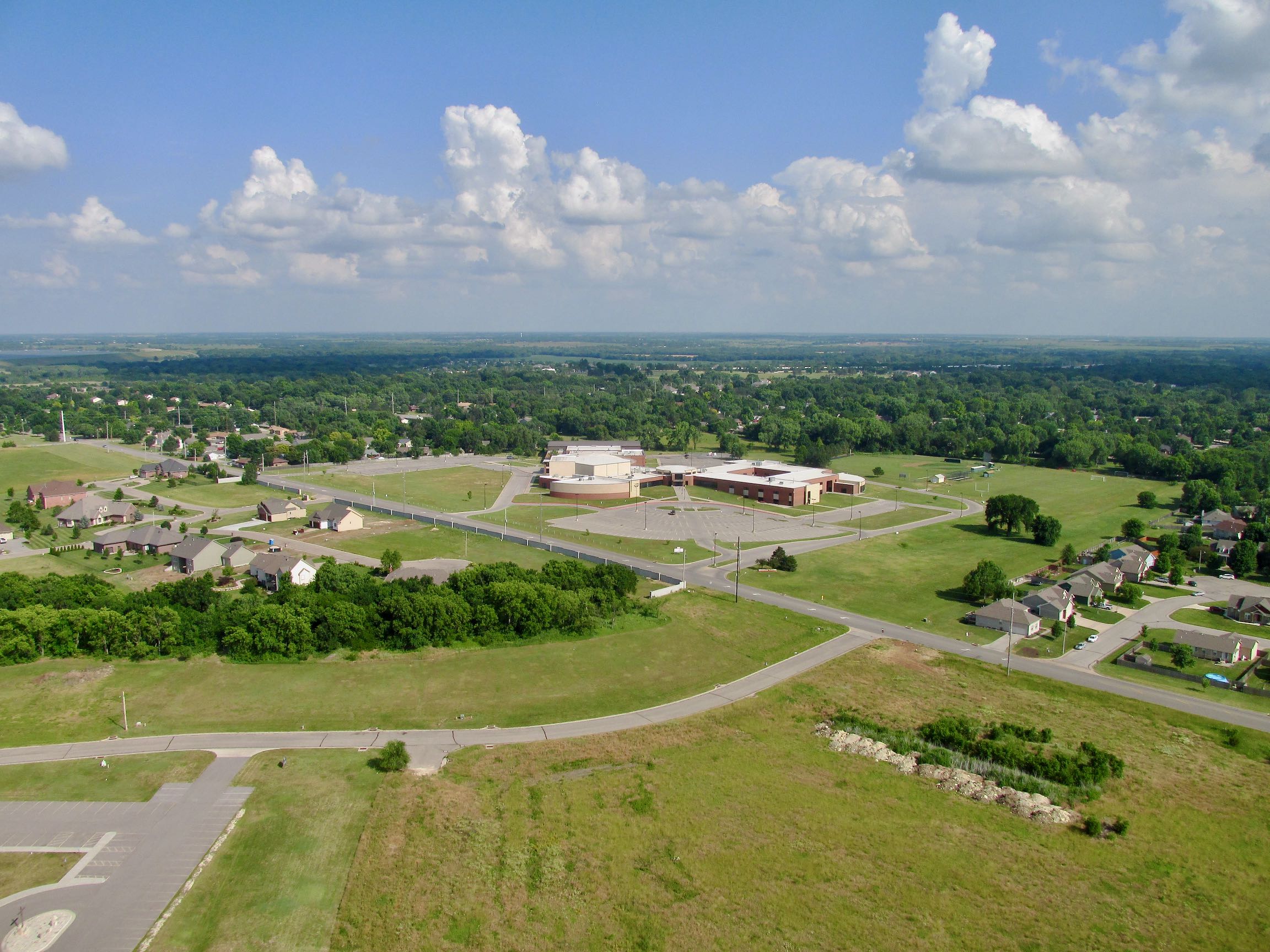
After taking off there was too much air traffic for me to be taking pictures. It was busier than when I arrived. I decided you have already seen enough of Stearman Field from the air so I dispensed with more shots. Above you see the town of Benton from about 150′ AGL looking Southeast.
Very Humid
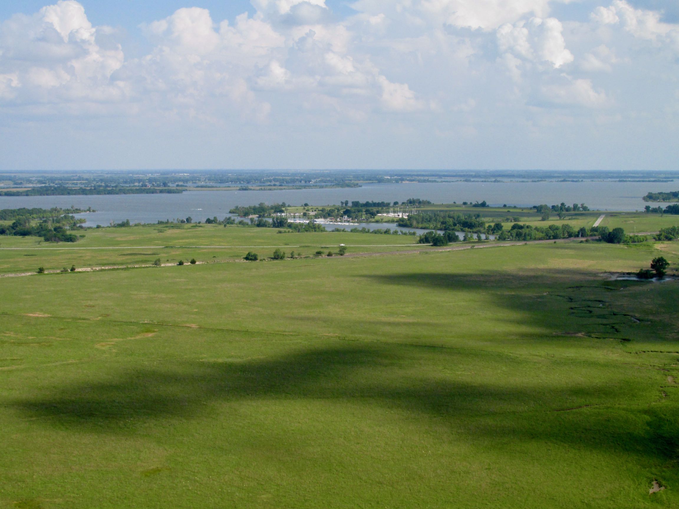
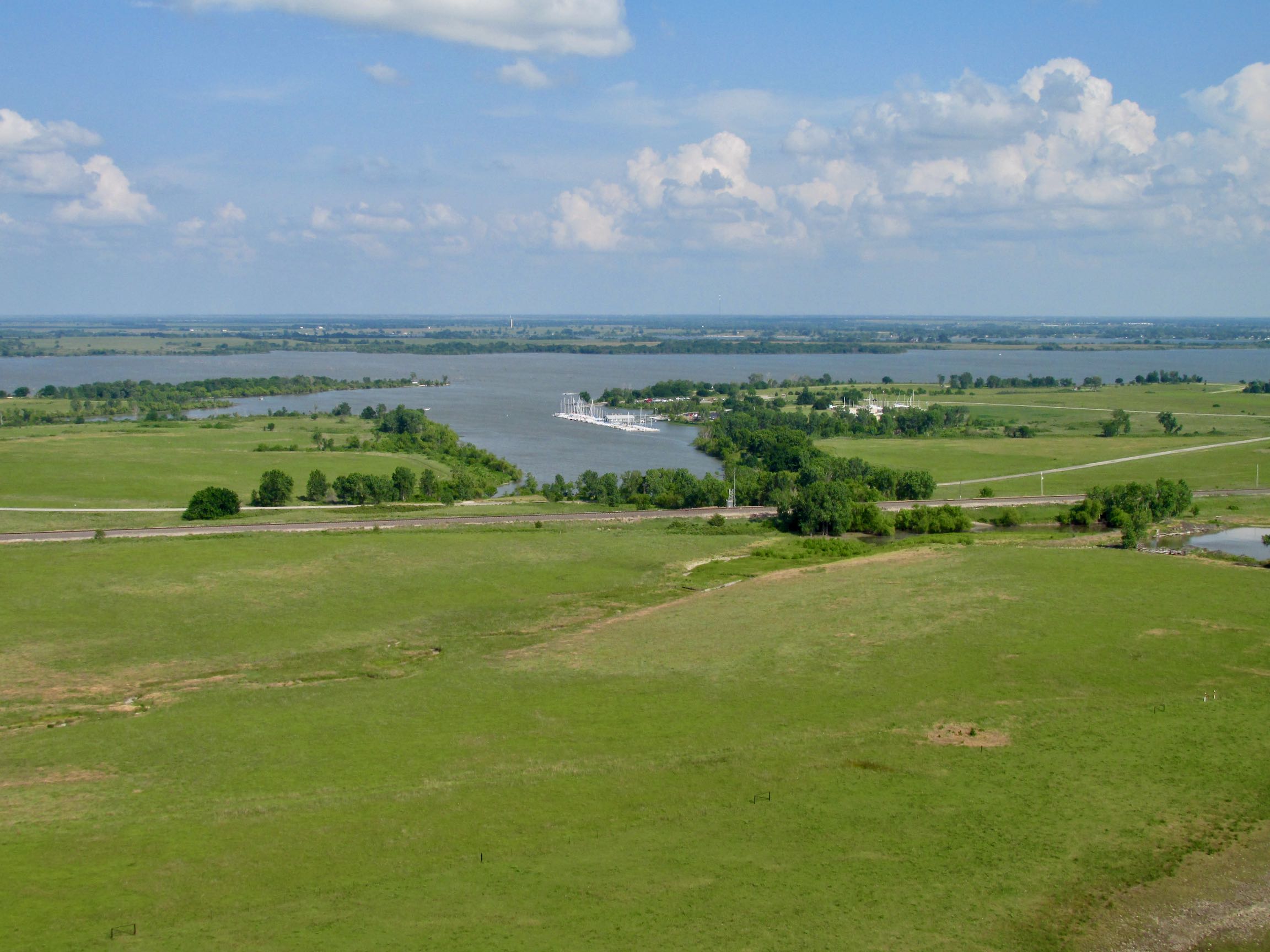
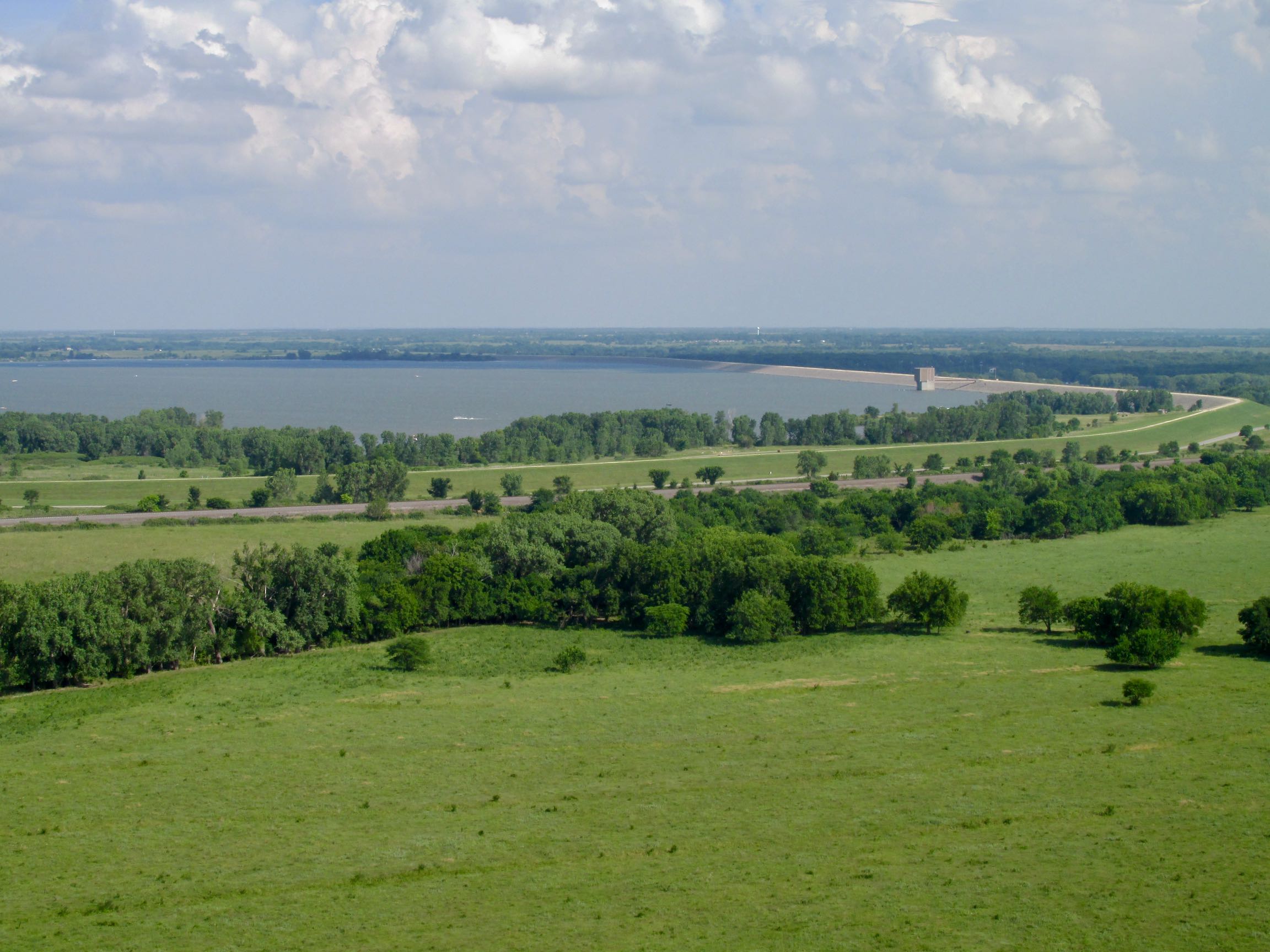
After leaving the Greater Benton Metropolitan Area, you can see I am now out on the plains. The next few shots will give you a feel of the grand openness of Kansas. Also, note the slightly diminished visibility and the considerable cloud layer above. This will be key later in the saga…
Abrupt Change
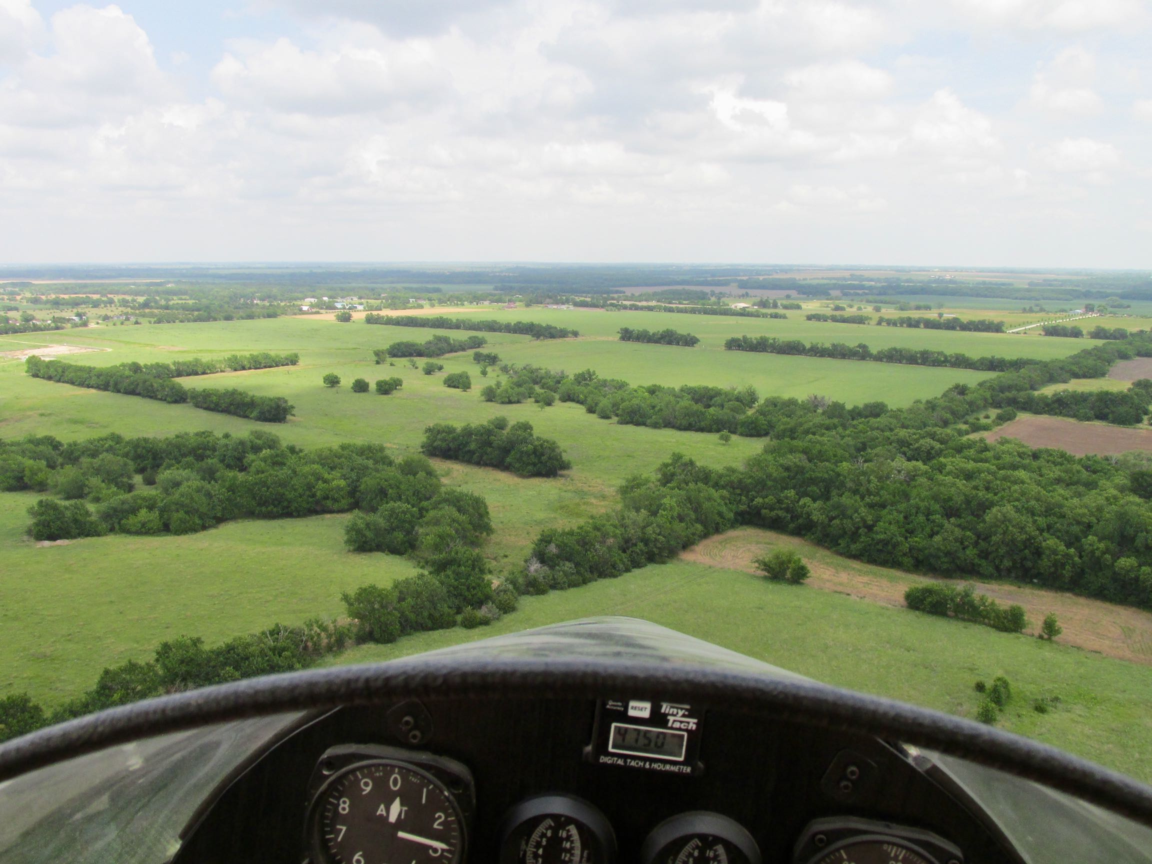
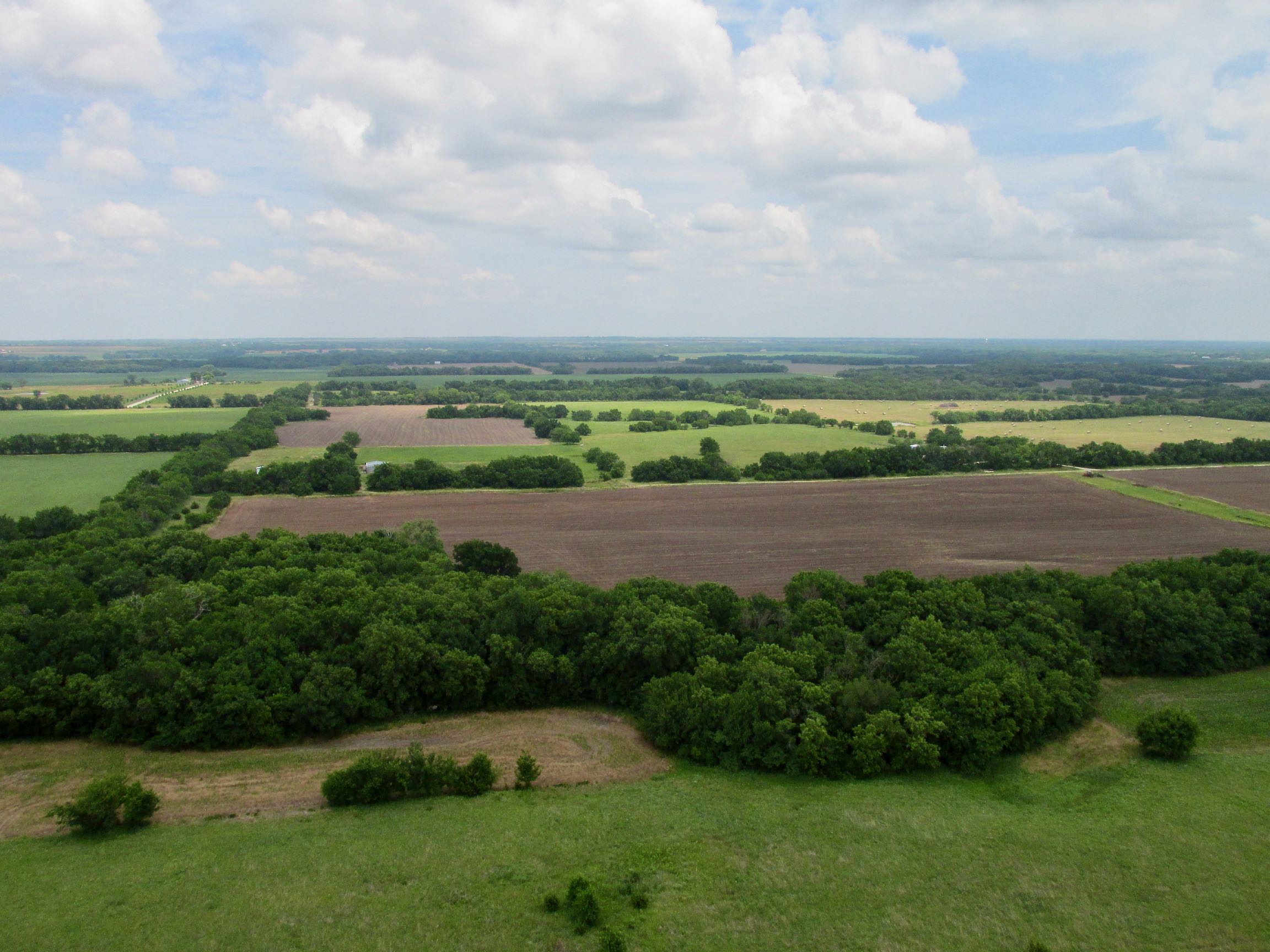
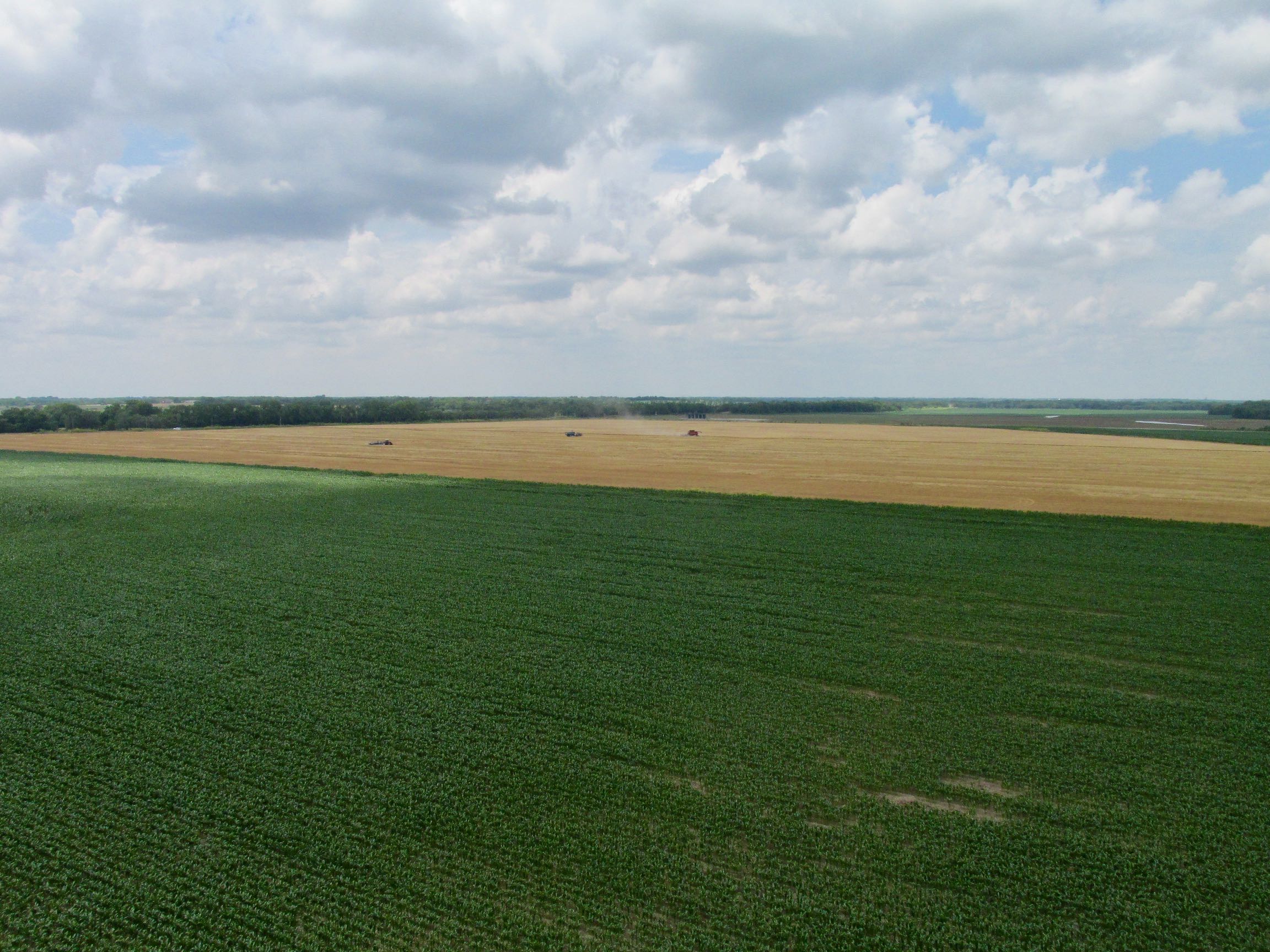
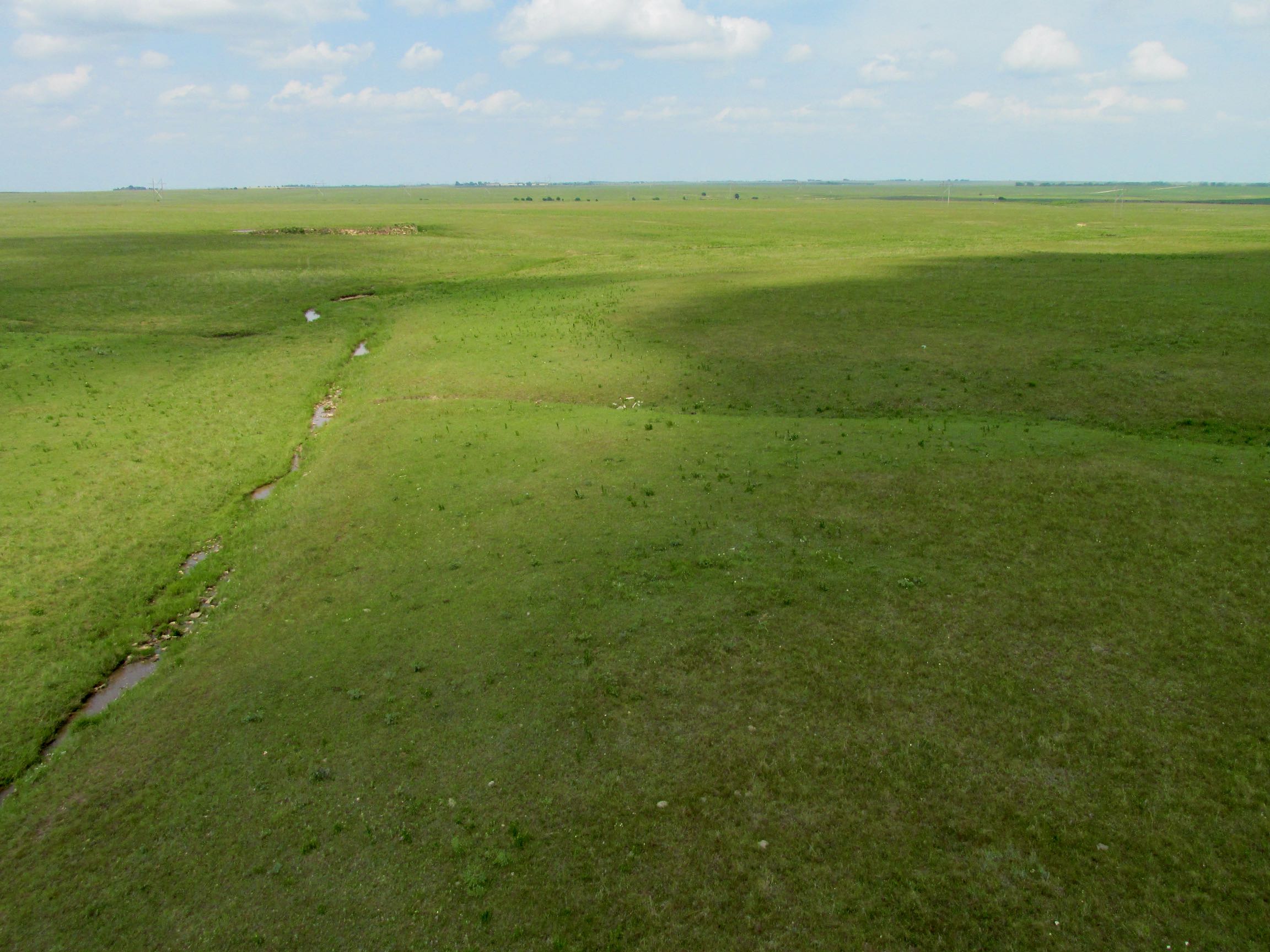
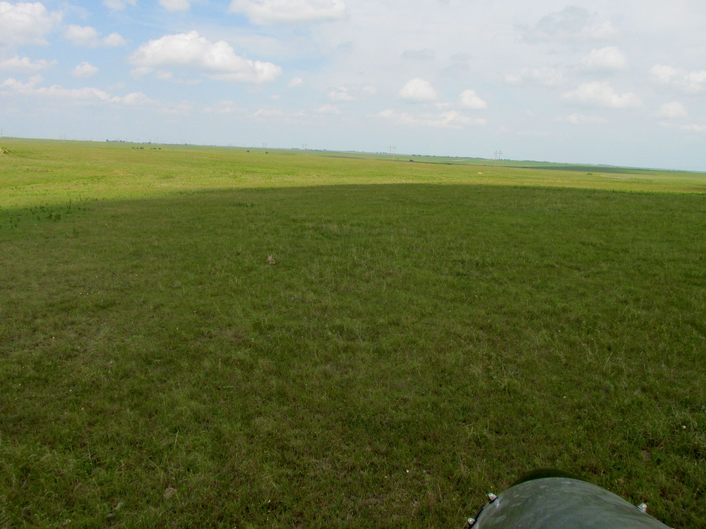
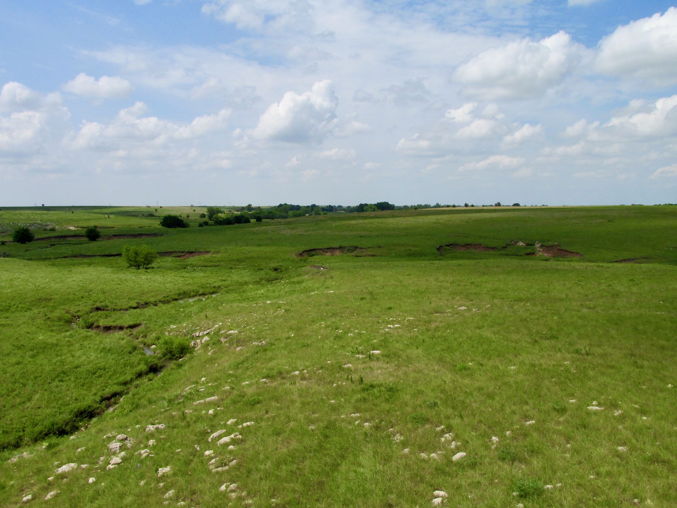
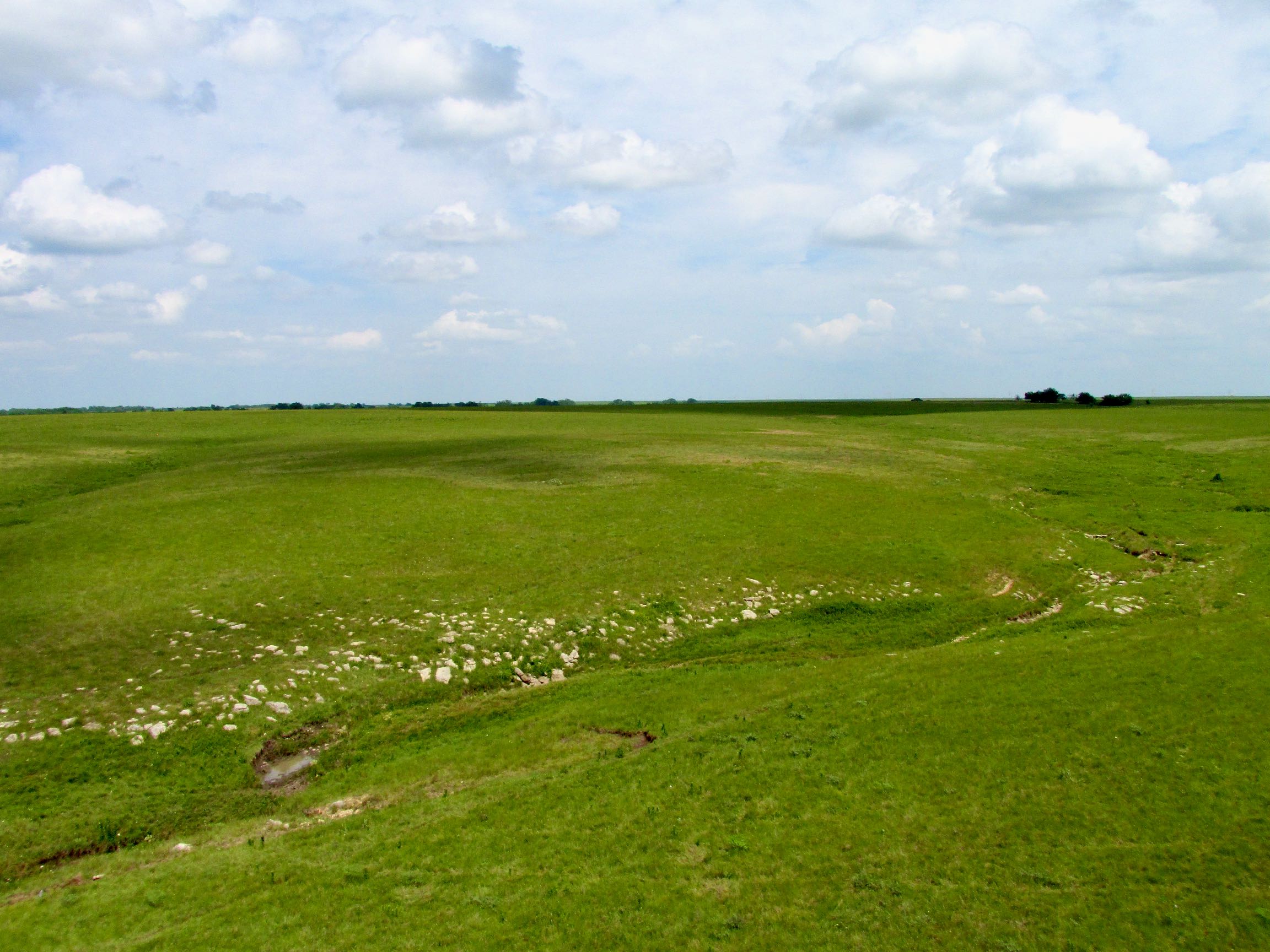
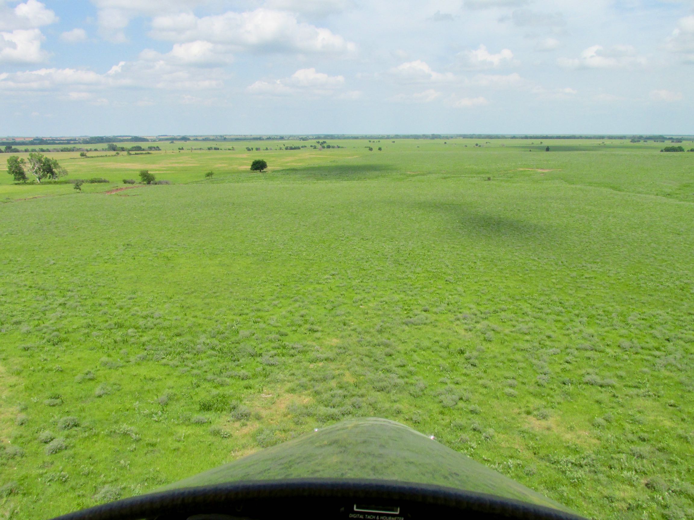
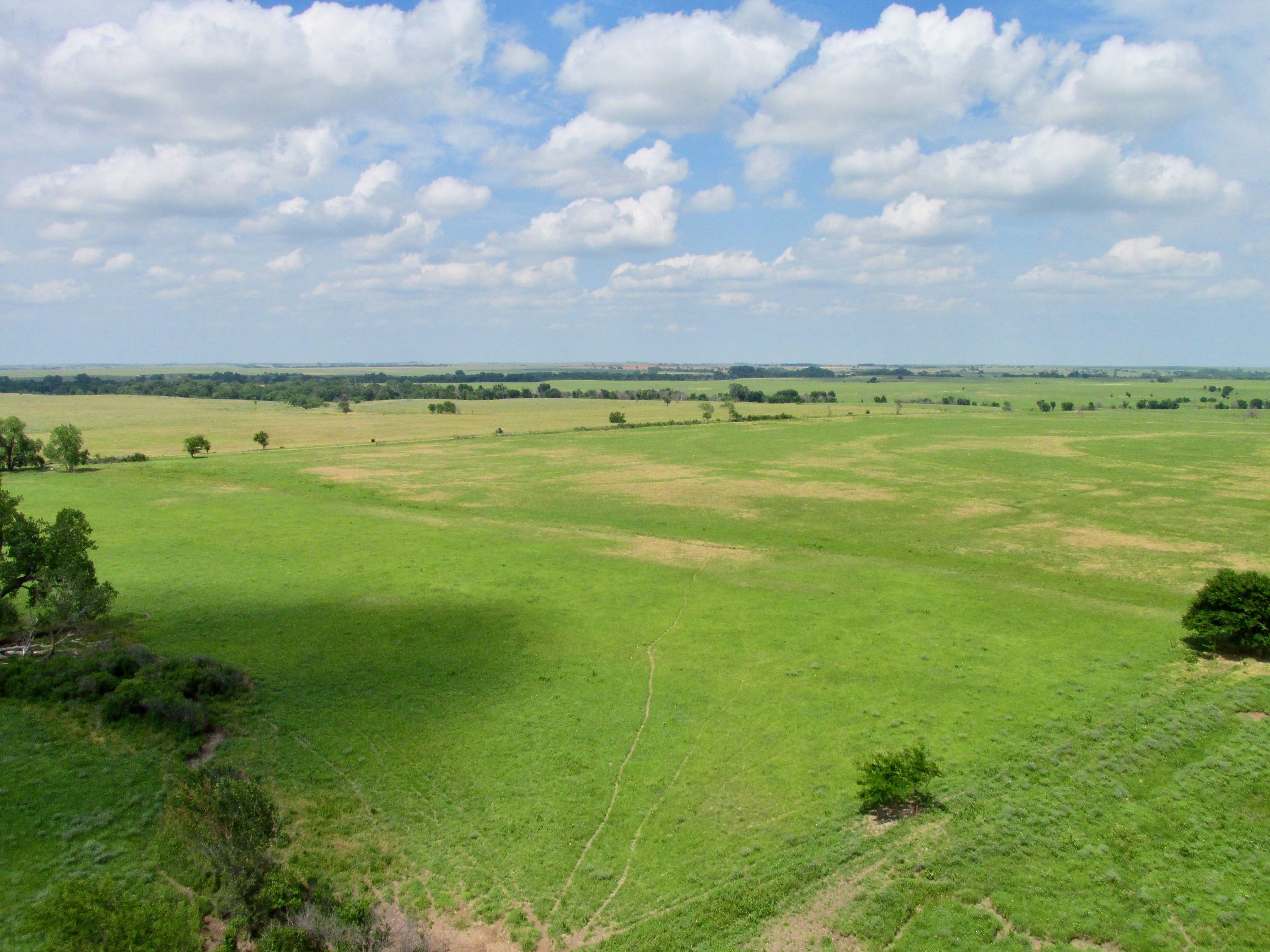
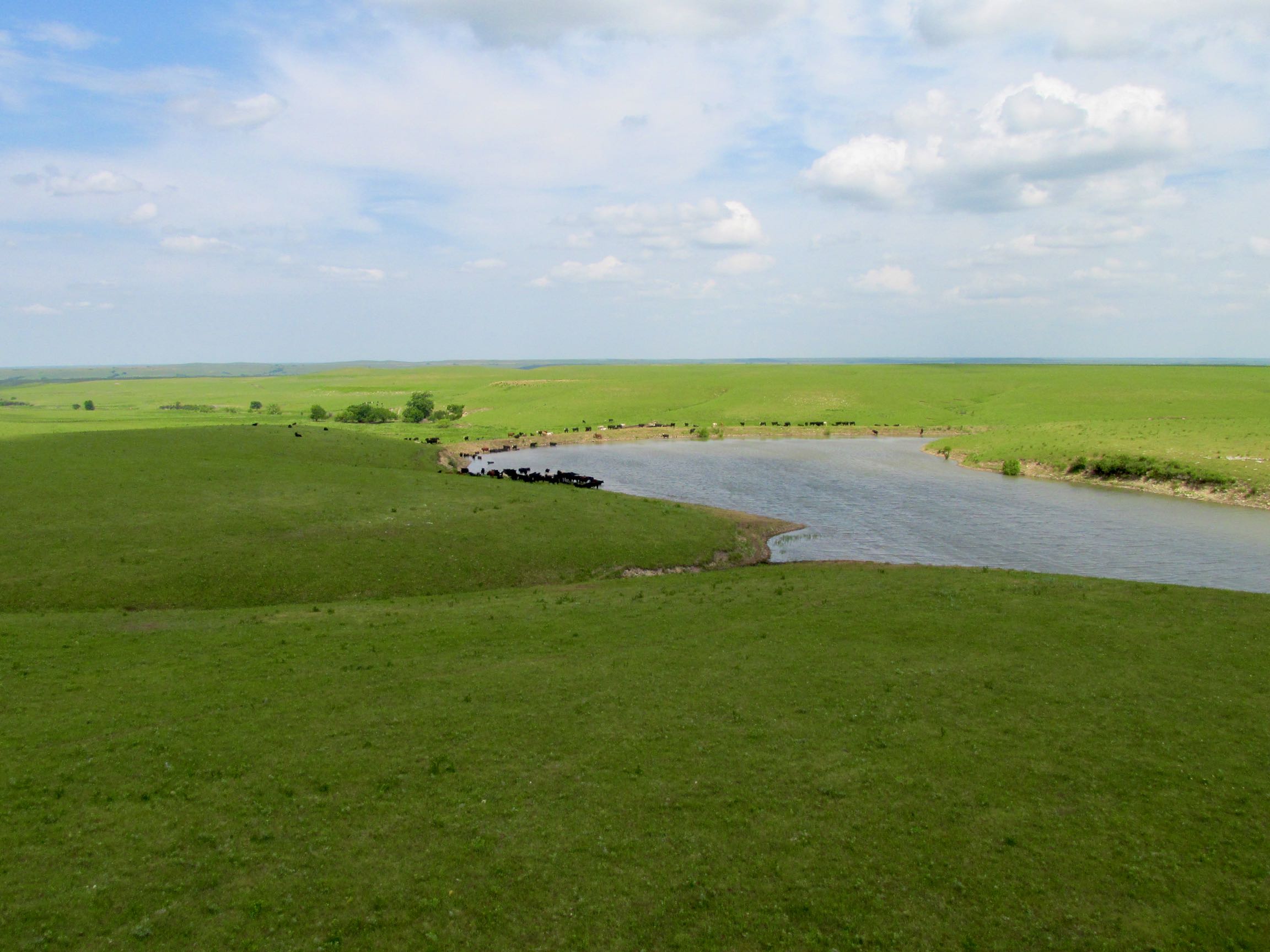
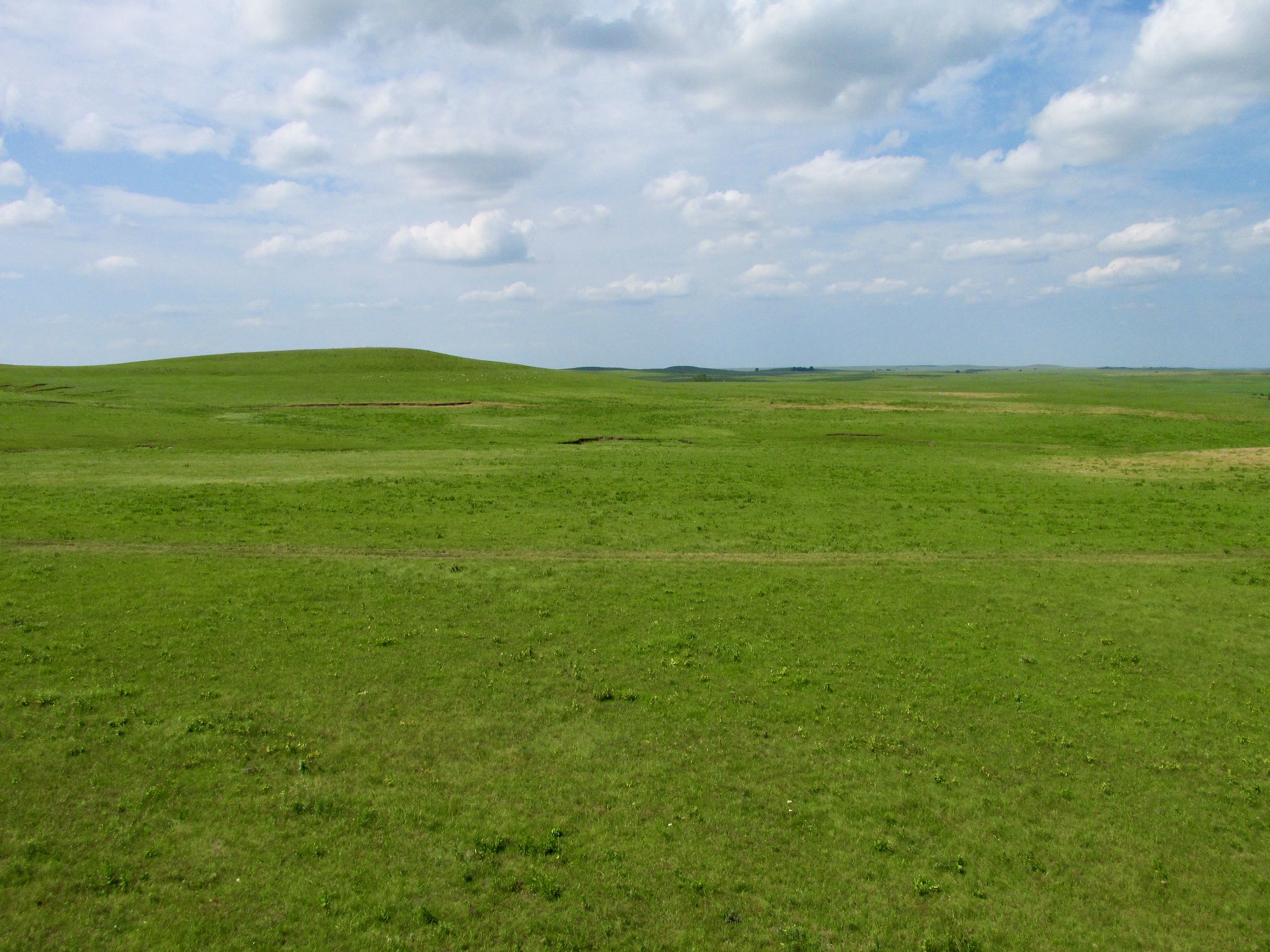
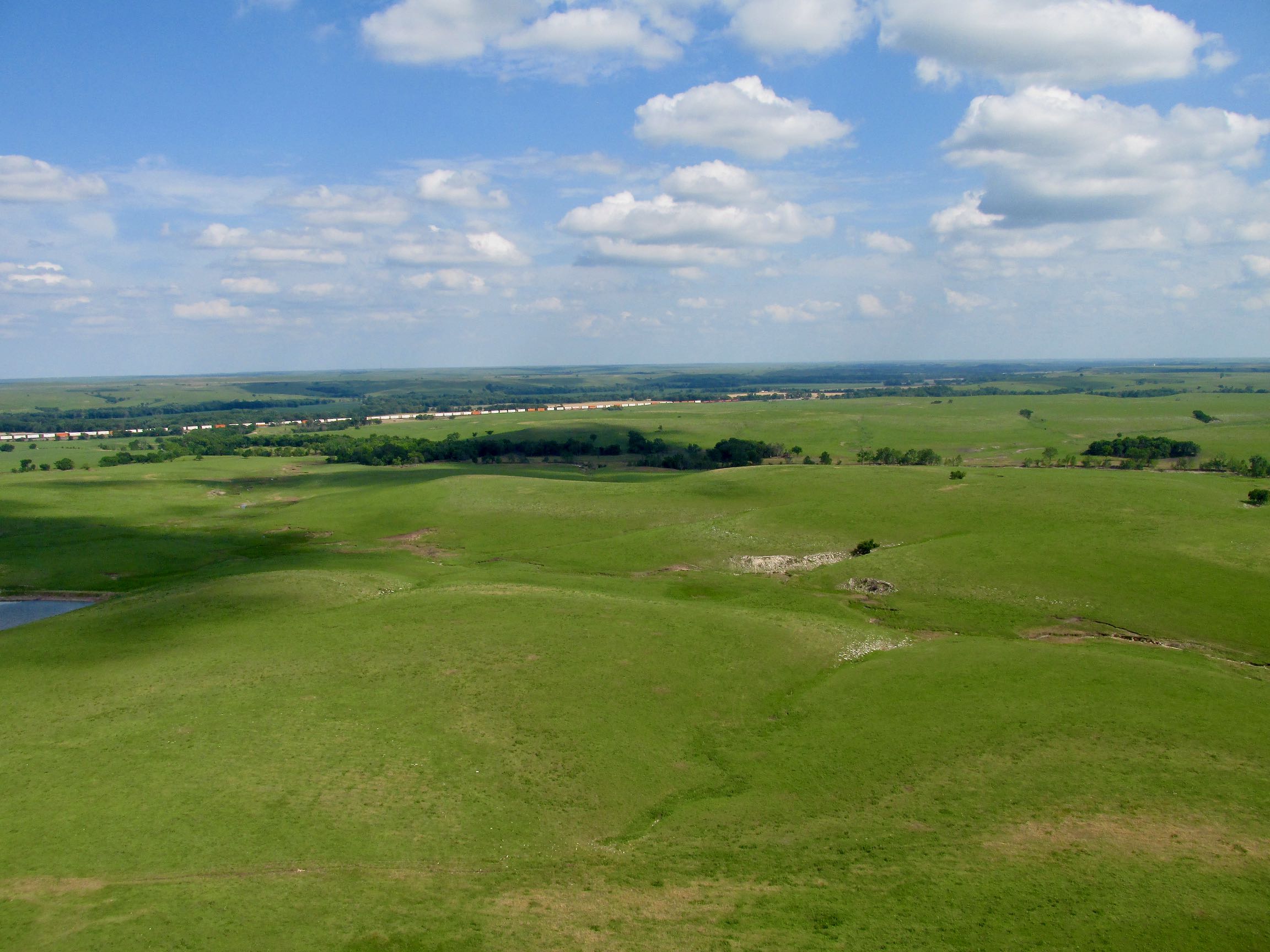
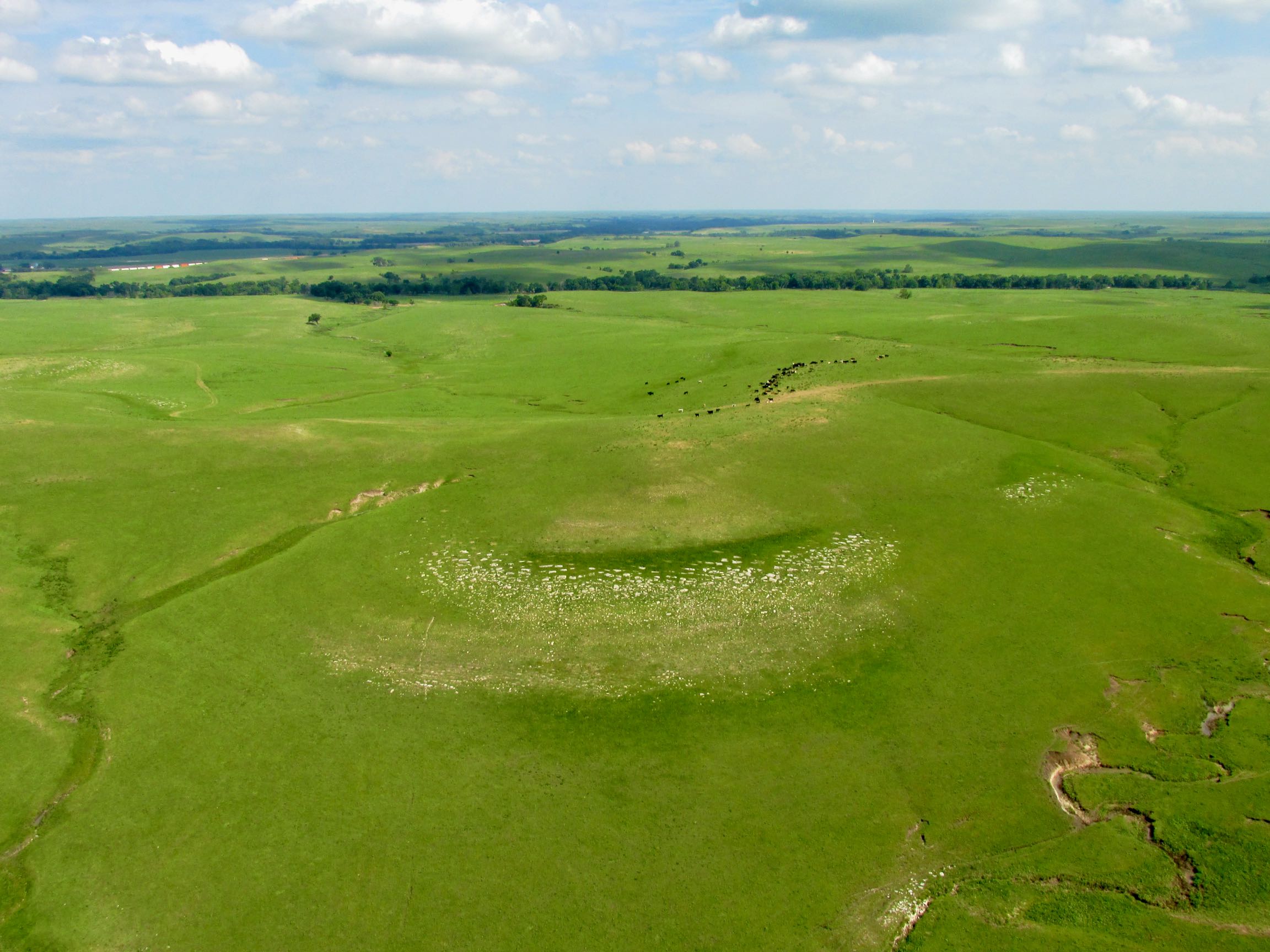
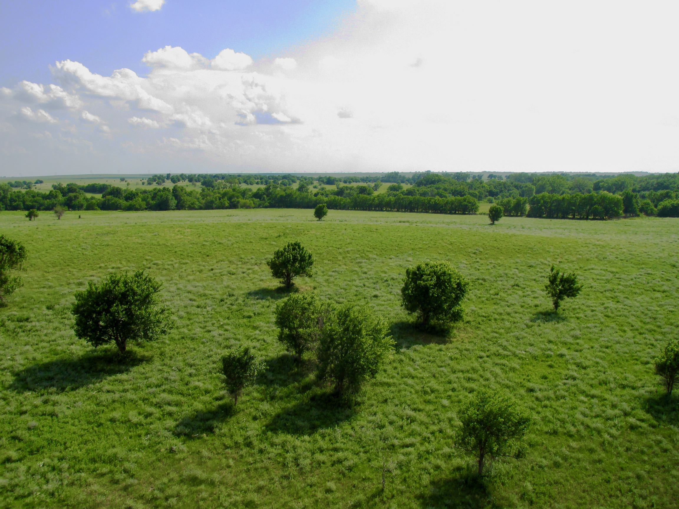
The Flint Hills of Kansas is one of my favorite areas to fly over. I do love the matchless farm fields that are sometimes as perfect as a garden but The Flint Hills are primordial and always take me back to the Cowboy Movies of my youth. Next are some pictures to show you what I mean.
Action!
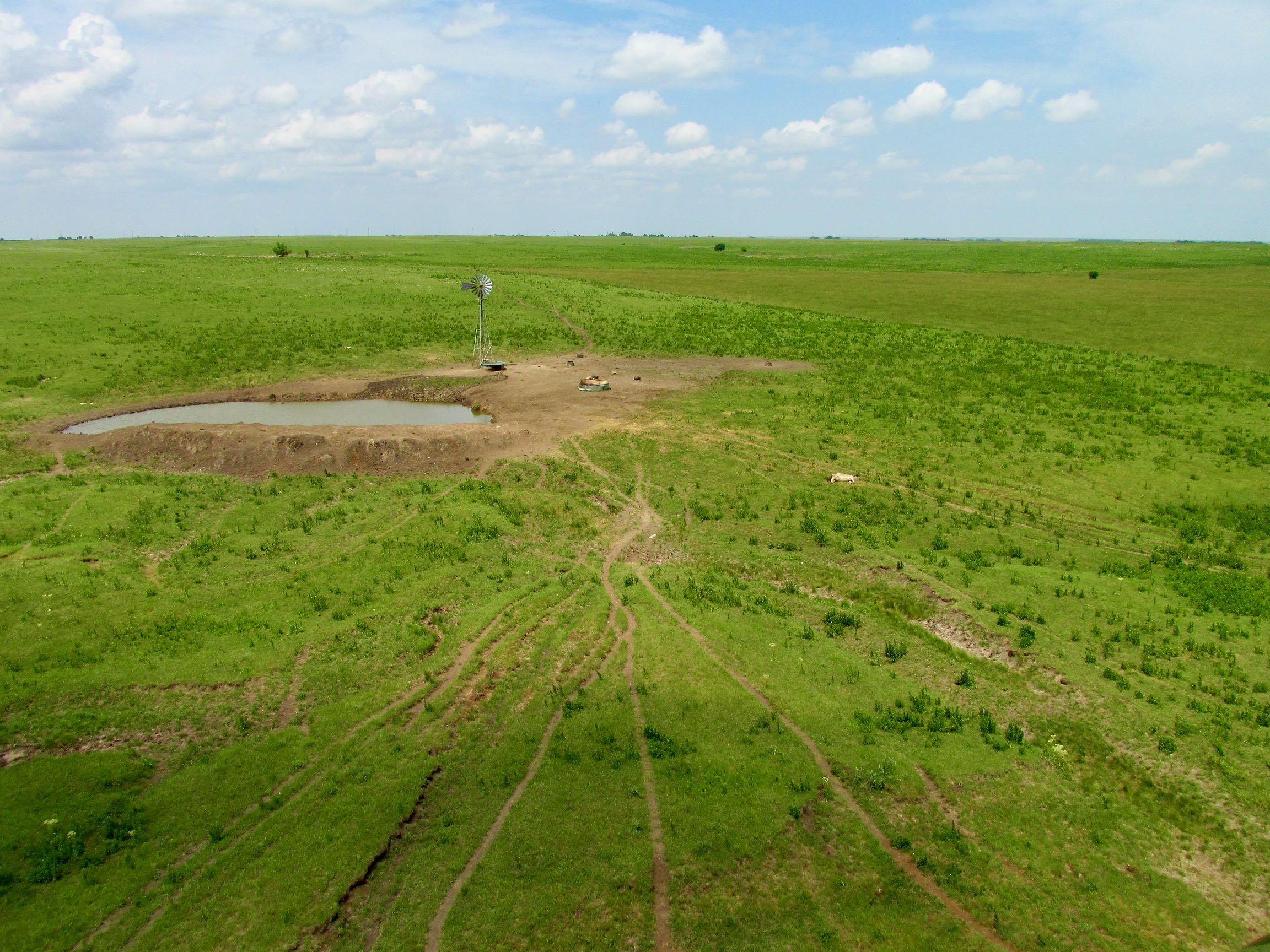
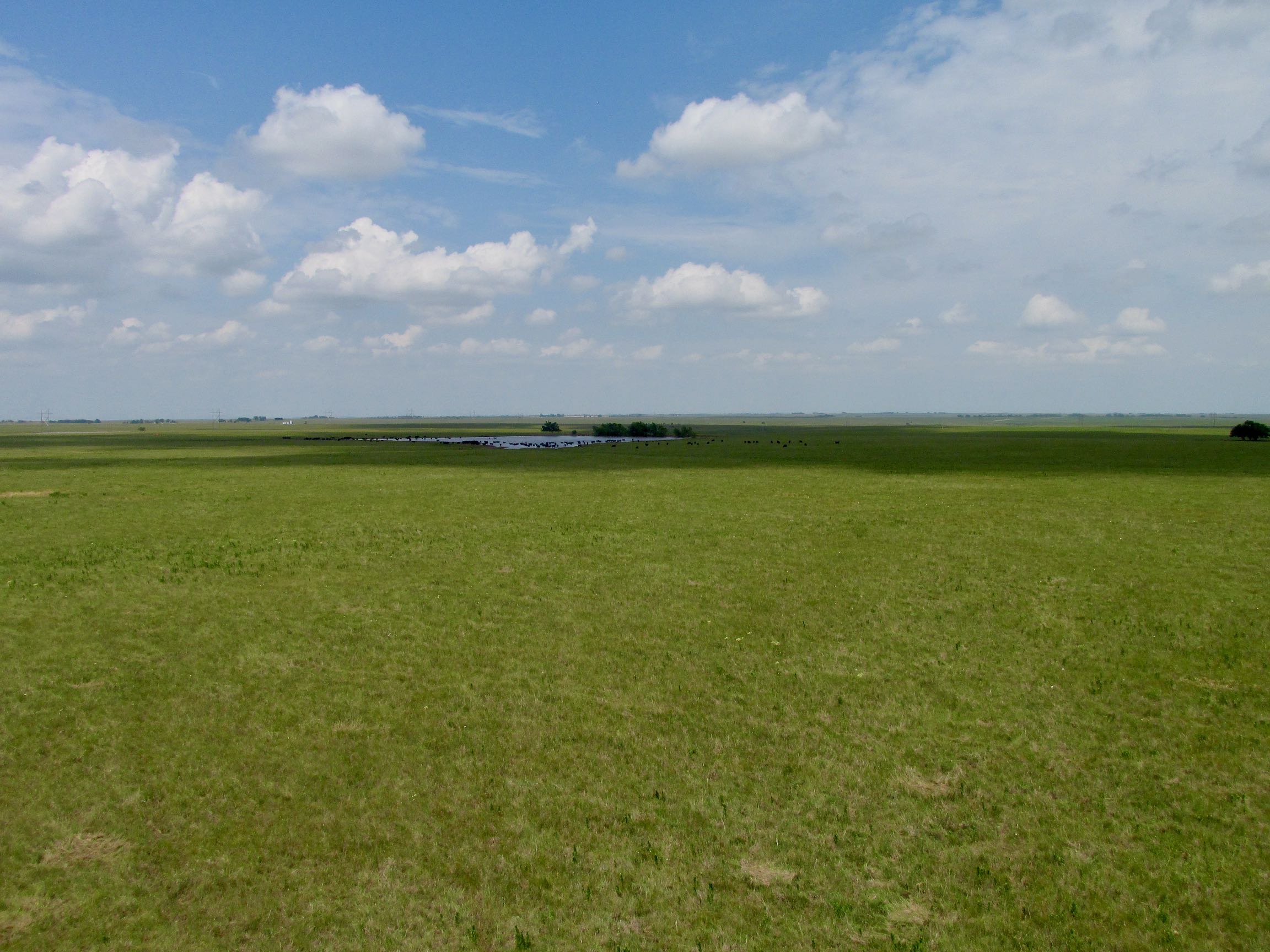
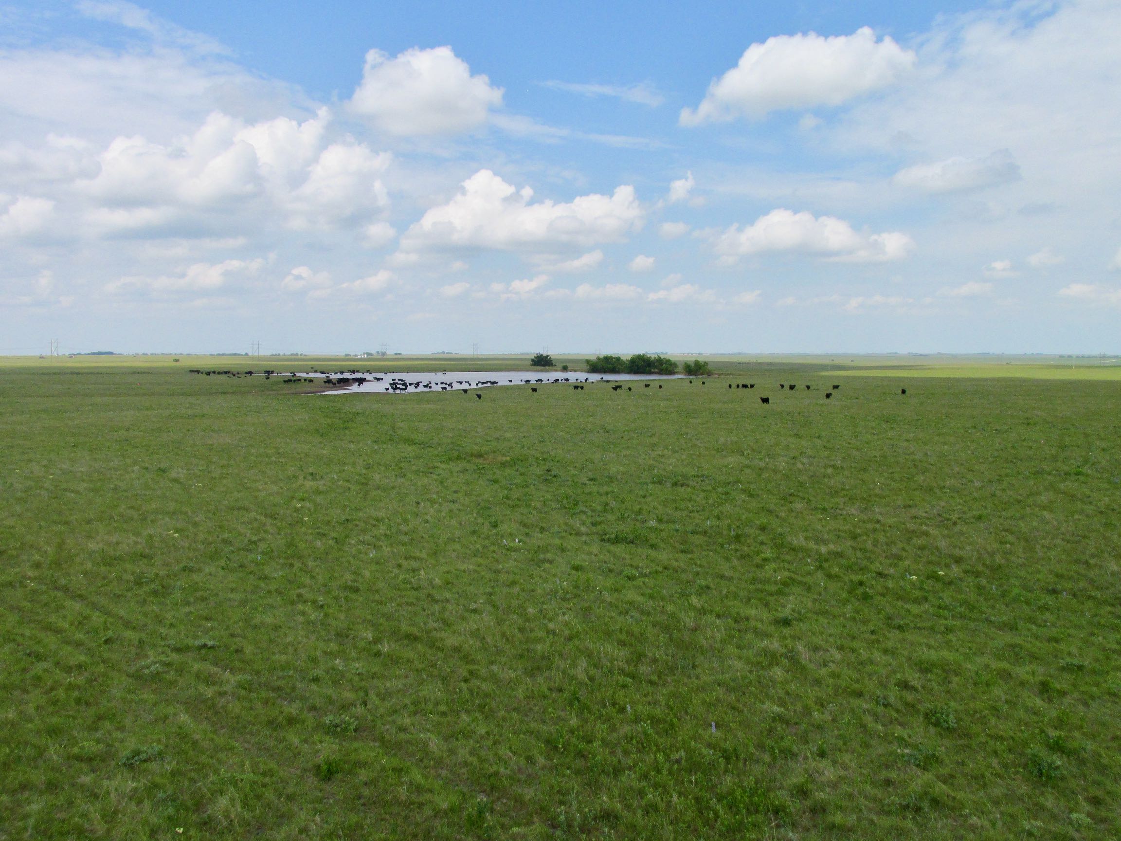
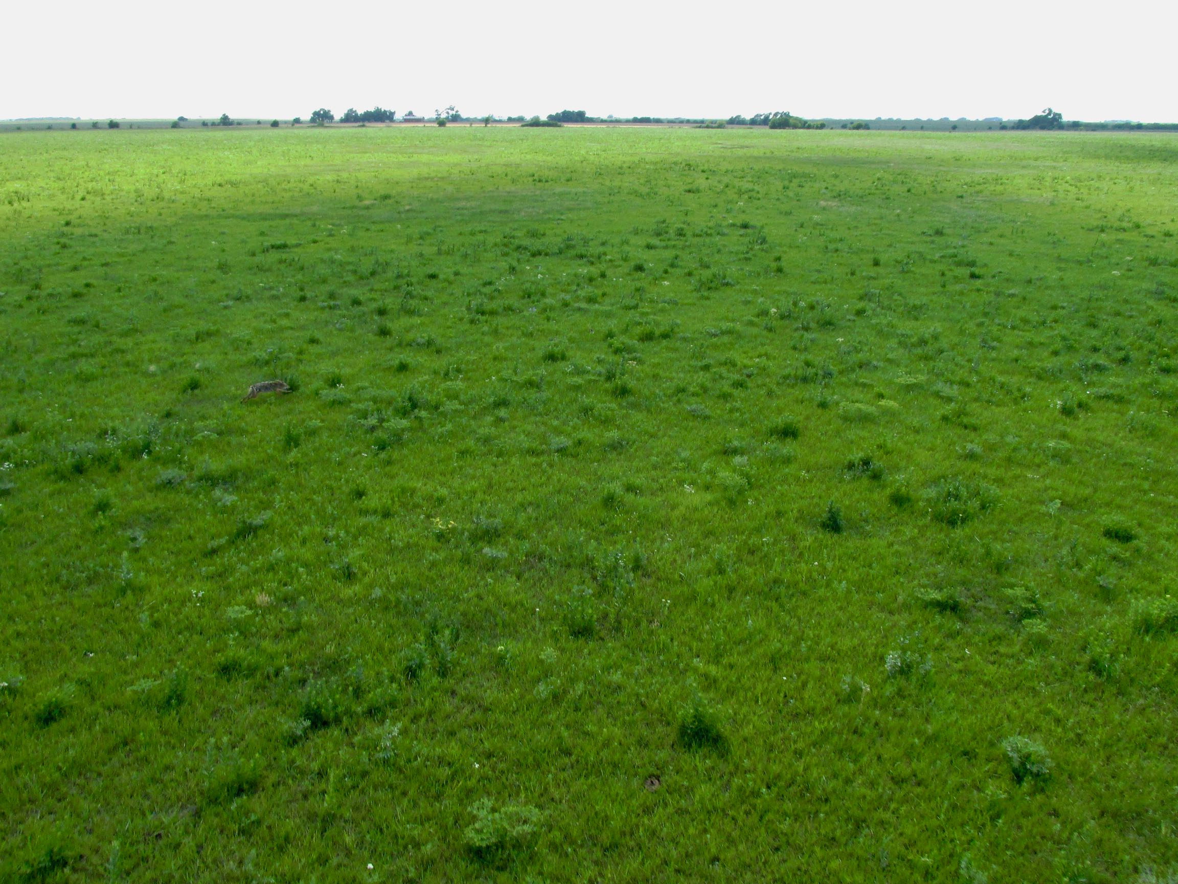
Where there are cattle, there are predators. Unless you are in the cattle business you wouldn’t normally think of coyotes as a problem. Unfortunately, even though they mostly subsist on rabbits and other small game, coyotes like to grab newborn baby cattle.
This next three shot series was taken after I bounced a coyote leaving the previous cattle herd.
The quality of these pictures is not as good as I would like but when skimming the ground and suddenly acquiring a target such as this, I have to get the plane trimmed as quick as I can while firing up the camera. In addition, coyotes are not fond of photography. They will dart left and right to avoid the large yellow bird swooping down at them.
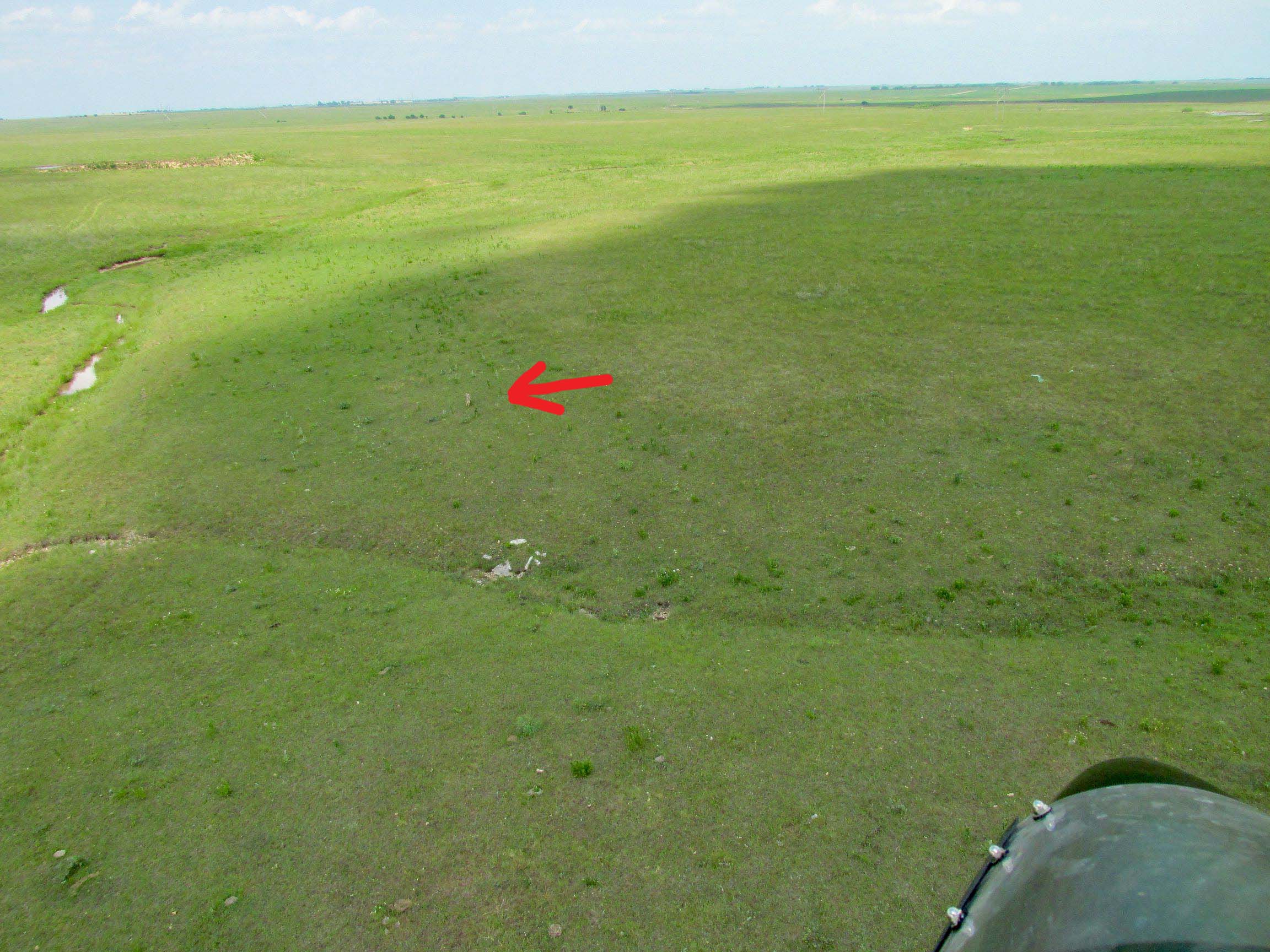
Usually I omit shots like the one above from The Flite Blog™ but I left this one in to give you a sense of the moment. I have a lot more of these than you might think. I keep the camera on a lanyard around my neck so I can grab it quickly – and drop it – if I need to.
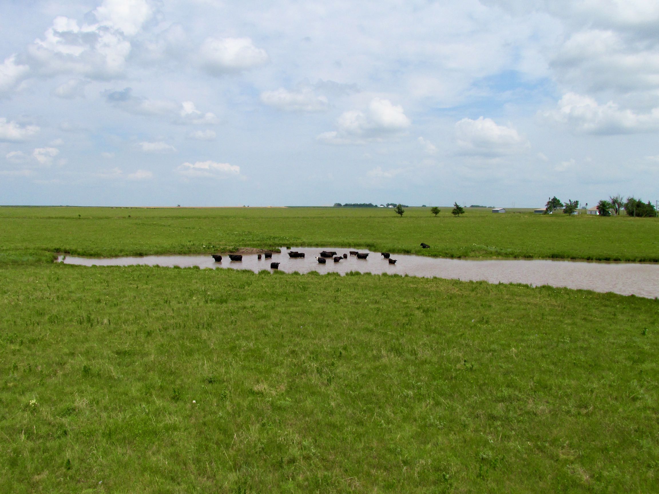
After taking the shot above I veered to the left around the herd. As long as I don’t approach cattle head on they don’t get concerned. Over years of this type flying I have determined I can get as close as 30 yards and they will not spook. Occasionally a little doggie (calf) will move toward its mother but the adults just watch me fly by.
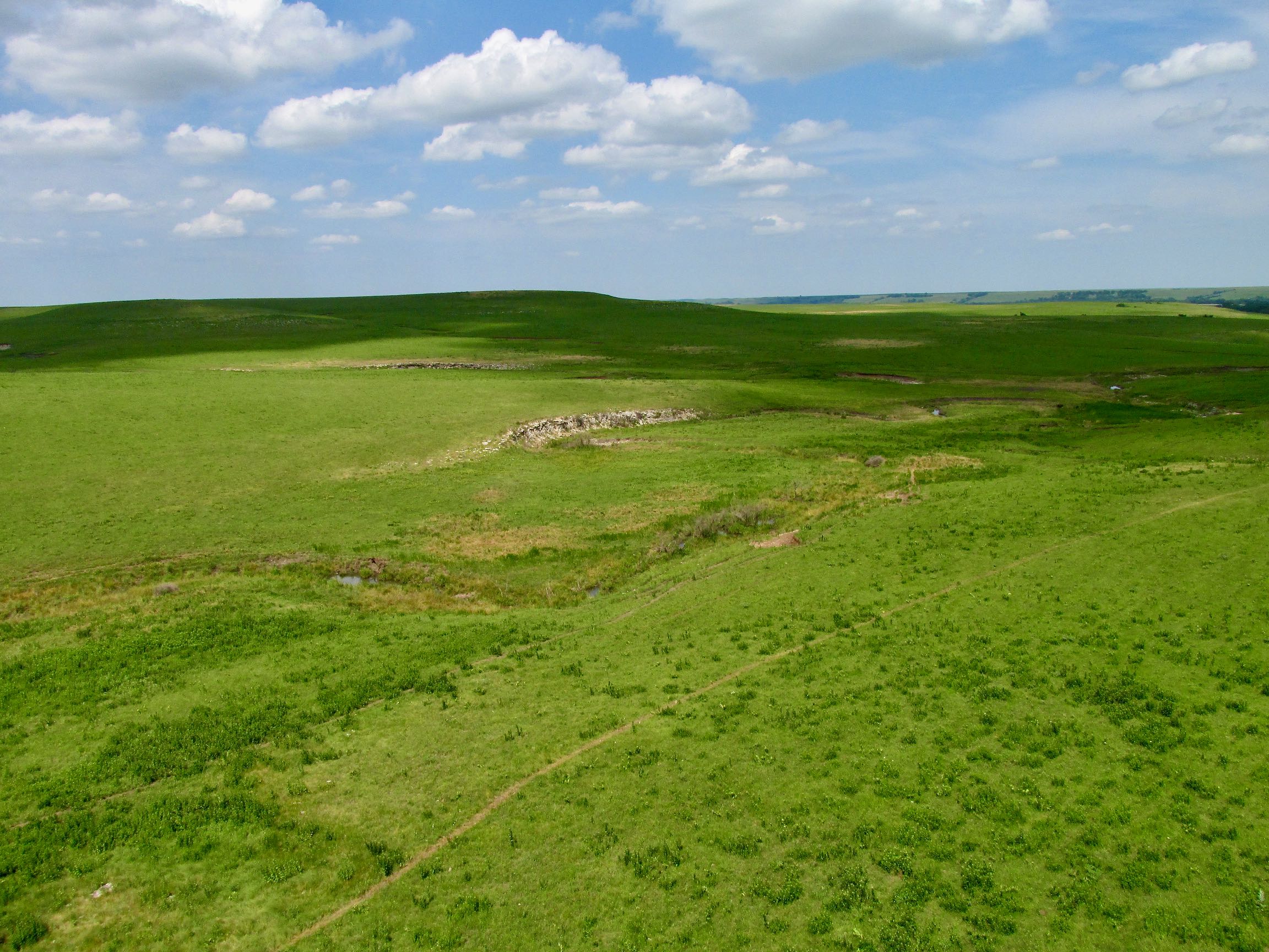
Creation
One of my favorite Bible verses is Romans 1:20 “For since the creation of the world His invisible attributes, His eternal power and divine nature, have been clearly seen, being understood through what has been made, so that they are without excuse.”
It basically lays out the facts. People can accept what they cannot deny – or they can reject it. That is choice. Rejecting Truth is a choice.
No matter what I look at, hear, smell, touch, taste or feel – I am convinced it has been created by the God of the Bible. Flying above beautiful scenes like these amplify that surety.
Please bear with me for a stretch as I show you some of my favorite scenery.
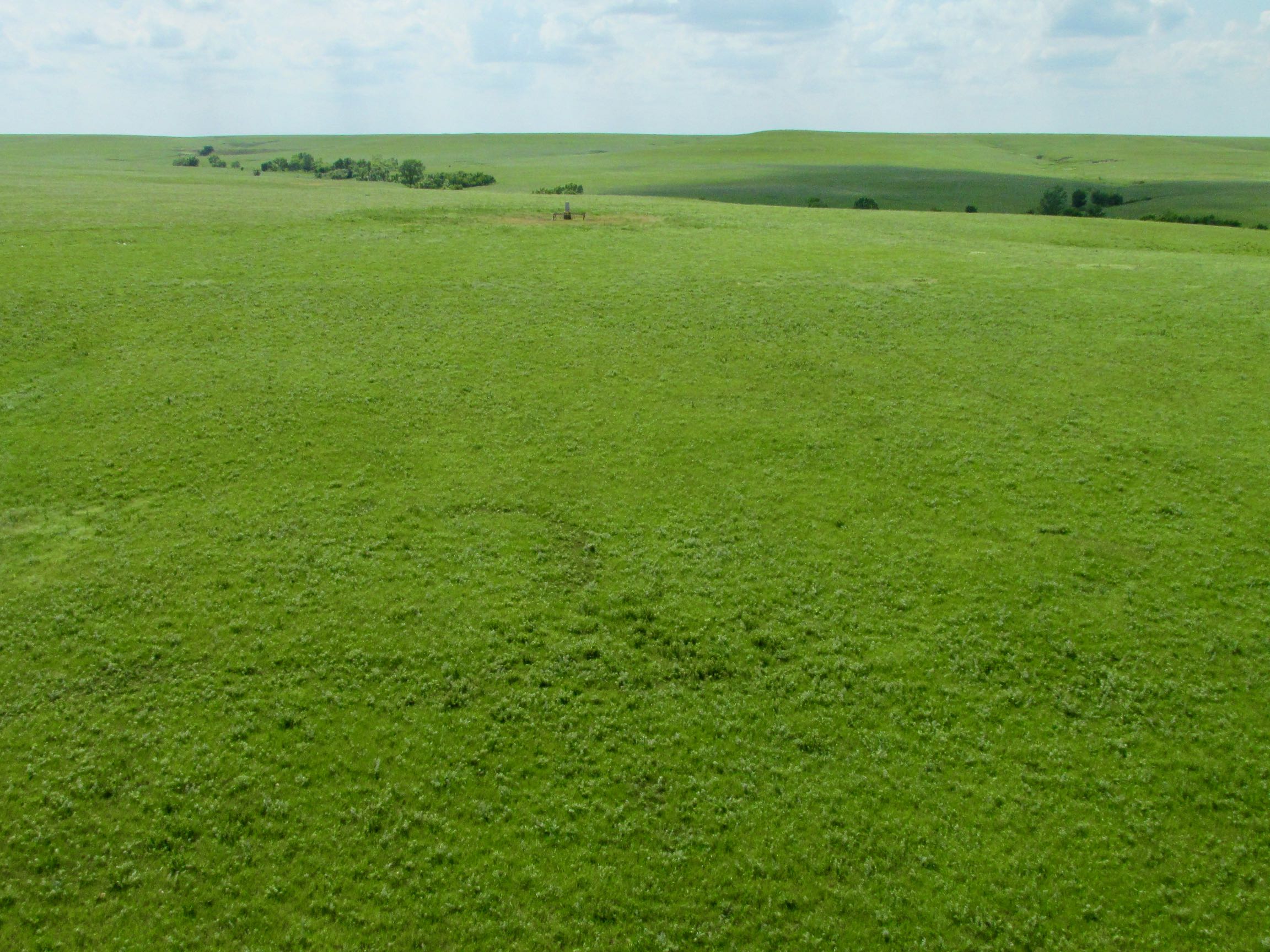
Then I Saw It!
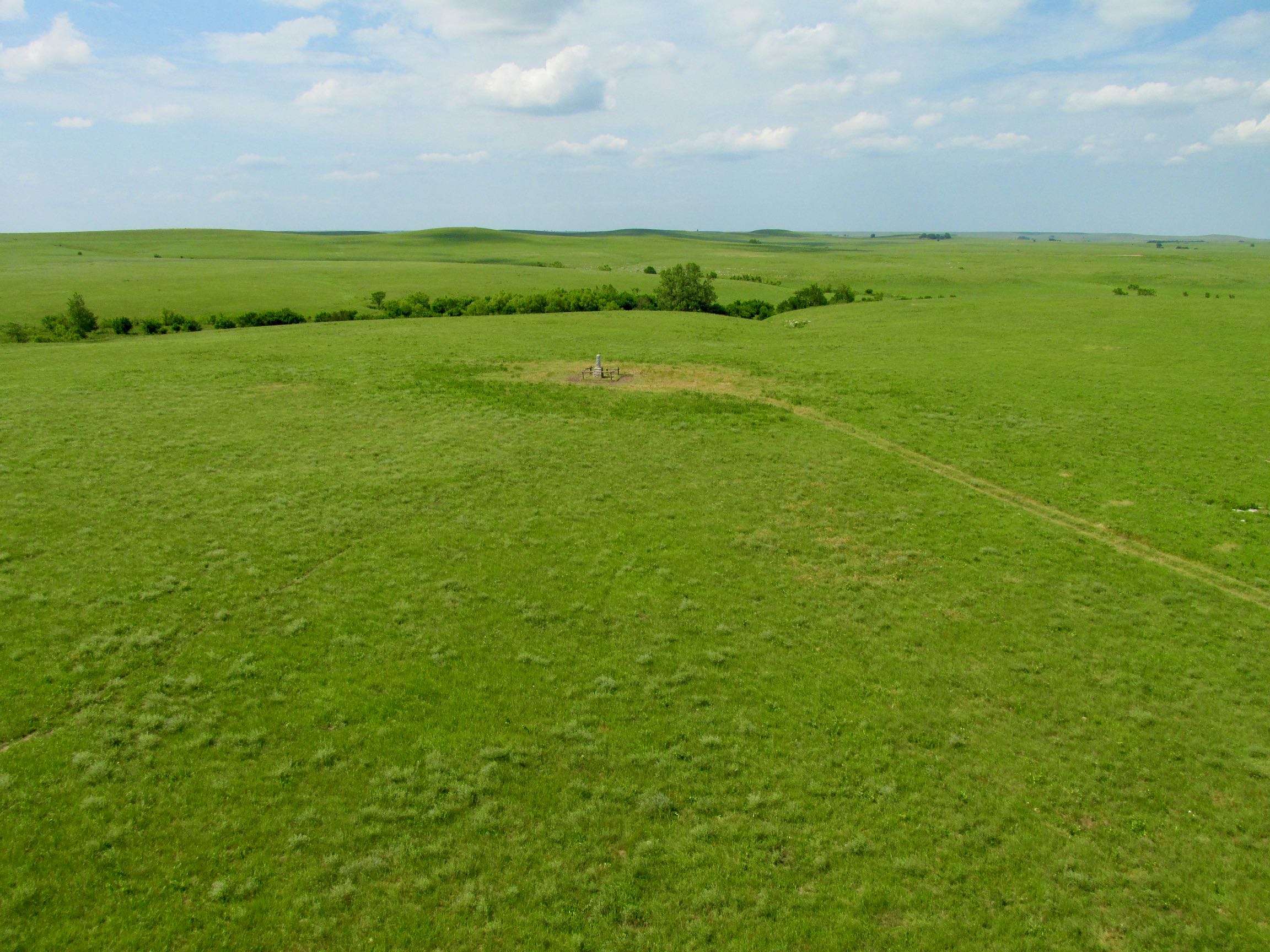
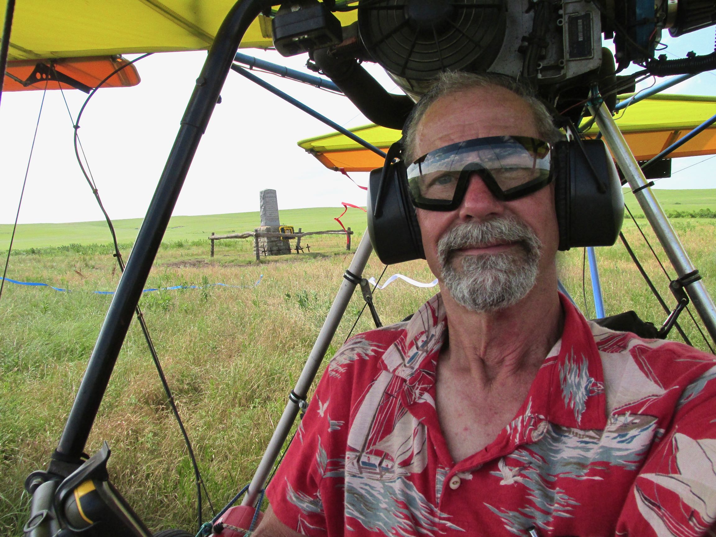
If you look at the picture before the one above, you will see a small bluff. As I approached it, the Rockne Memorial was not visible. I was watching my GPS very carefully and knew it had to be close. Once I crossed over the bluff, the site appeared.
Because I’m never sure what the weather will do, I first take aerials when arriving at a destination. That way if the sky deteriorates while I’m on the ground I won’t have missed including some good aerials in my story.
Following are some of those shots.
Time To Land
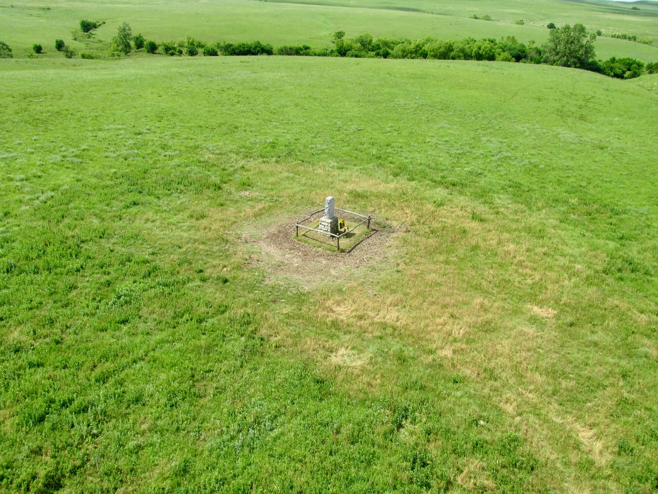
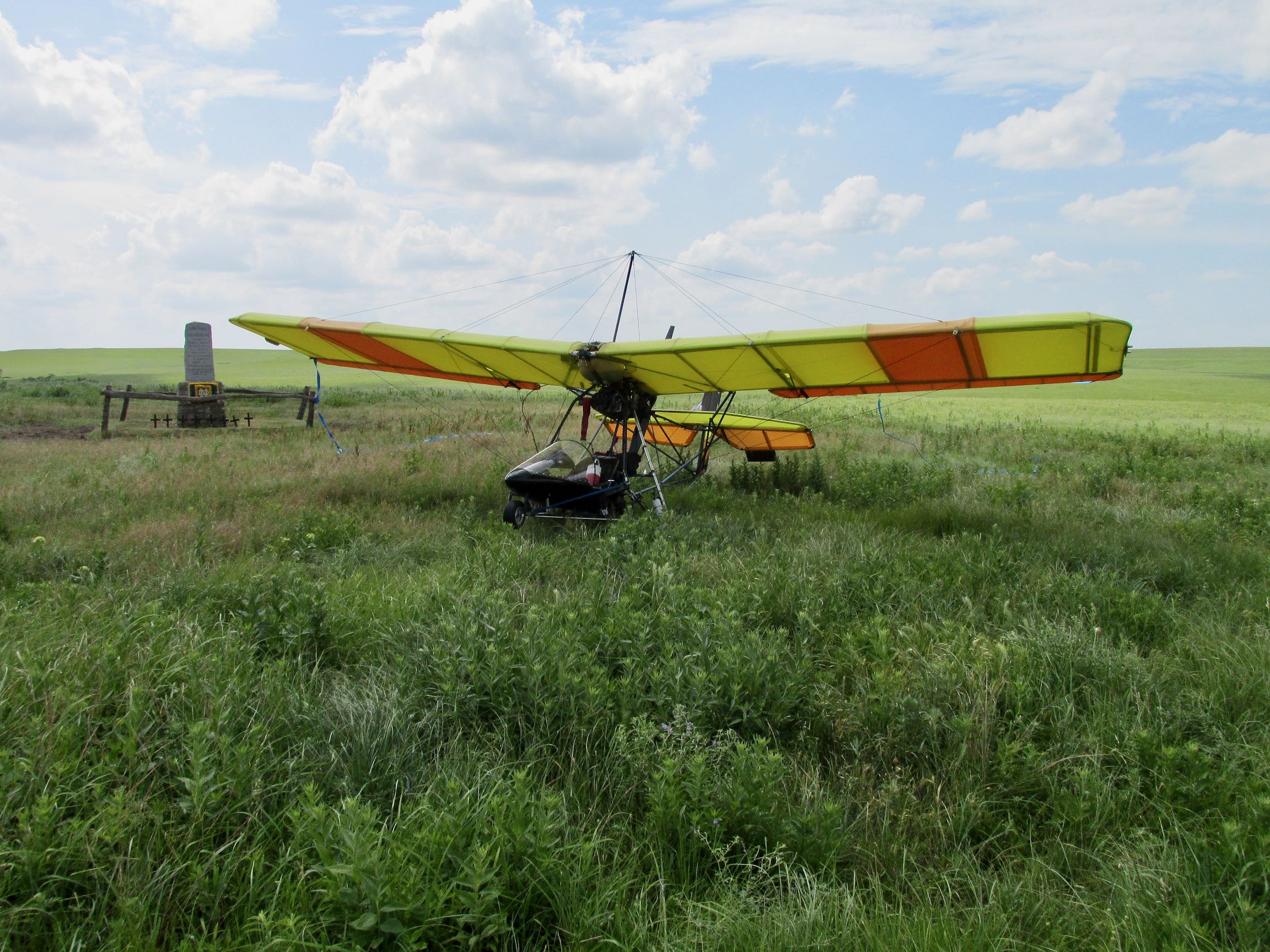
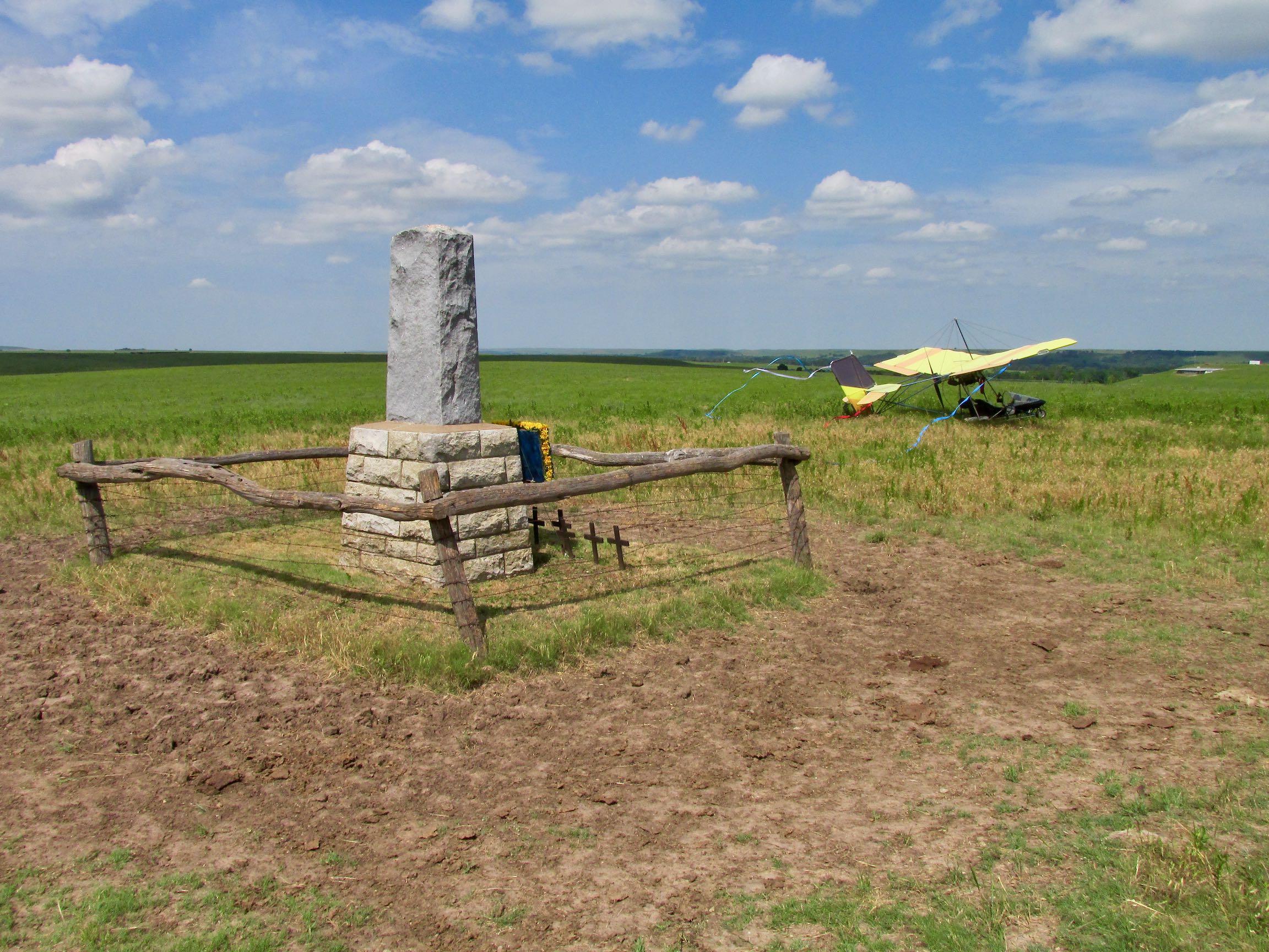
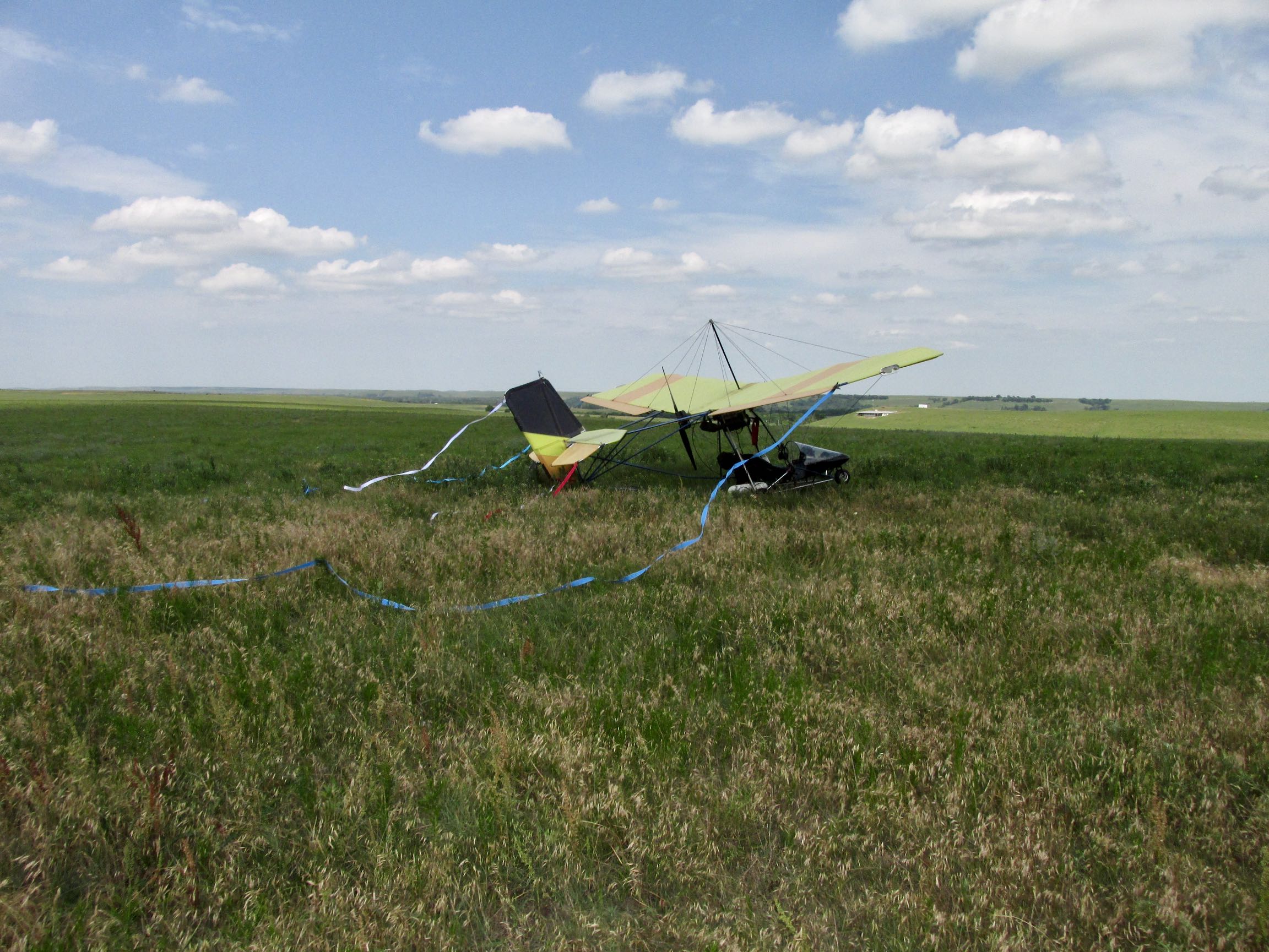
It didn’t take that long to get the shots above. Additionally, due to fuel considerations I didn’t have much time to loiter. There are not a lot of places out here to get more gas. So, if you have noticed the jeep road coursing to the Memorial from the East, I decided to give it a try as a landing strip. My Quicksilver doesn’t take a lot of space to land. The advantage of using the “road” was that I was able to drop down to about 3 feet AGL and examine it somewhat. Landing on open prairie is problematic. Mowed hayfields are excellent but the prairie sometimes contains holes dug by various animals that have the potential of taking out one of my landing gear. That would be bad.
Because my tires are relatively small, there is not much clearance under the axle. This can cause a “high centering” issue on a jeep road. Also, I have had issues in the past where a path such as this would be washed out in places leaving jagged rocks which are not conducive to my landing wheels. So, my method is put one landing gear on the “high” middle part of the trail and the other tire on the outside of the trail. That’s what I did here and the tall grass provided enough resistance that I came to a stop in about 20-30 feet. I taxied closer to the Memorial and shut ‘er down.
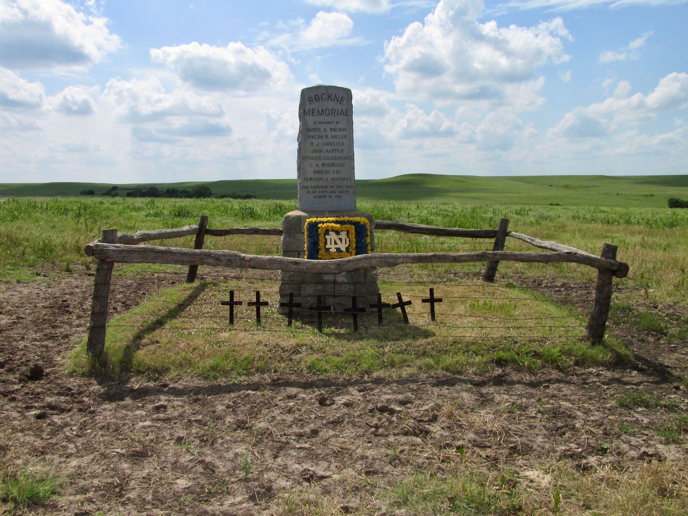
The monument makes clear that Knute was not alone at this tragic scene on 31 March 1931. He was accompanied by seven other men who are listed on the marker: Waldo Miller, H.J. Christen, John Happer, Spencer Goldthwaite, C.A. Robrecht, Robert Fry and Herman Mathias.
The death of Knute Rockne hit the United States and much of the Western World with profound grief. Radio was king then and people were glued to their sets to hear news of this tragedy and the live broadcast four days later of Knute’s funeral procession.
Importantly for aviation, because it was determined that the Ford Tri-Motor aircraft carrying Knute and the others experienced a wing failure due to maintenance issues, great changes in aircraft production and certification were instituted in the United States after this tragedy.
It can be said that Knute Rockne had more impact on the game of football than anyone before or since. Also, he was known and respected outside the game by the general public for the moral leadership he transmitted to his teams. The world reacted to his sudden death like it had lost a beloved King, President or Movie Star.
If you want to read more about the impact of Knute’s life and his sudden passing, here are some good accounts:
ESPN on Rockne’s impact on football.
Notre Dame’s discussion of Knute.
Sidebar
When I told some people about my plan to visit the Rockne crash site, I was surprised to hear more than one say that their Grandfather or Dad had a small piece of the airplane in their possession. Apparently it was pretty common for people to seek out and covet objects like that.
Don’t forget this tidbit about airplane pieces…
Time To Go
After shooting the site from all the angles I could think of, it was time for me to hit the sky.
Different Path
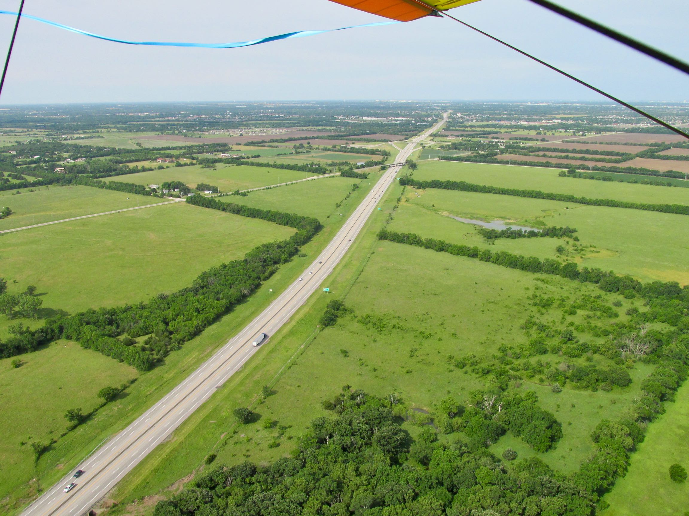
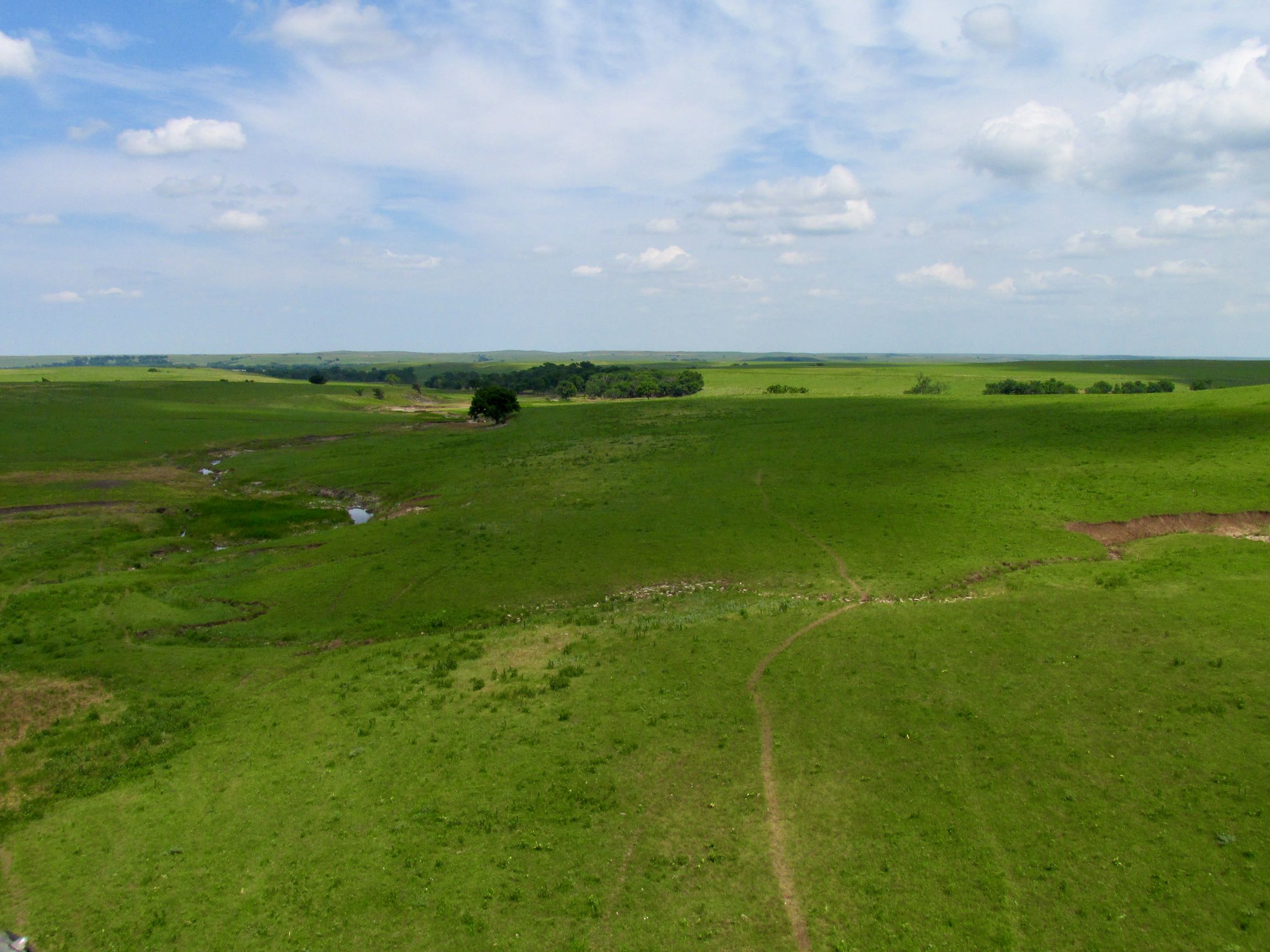
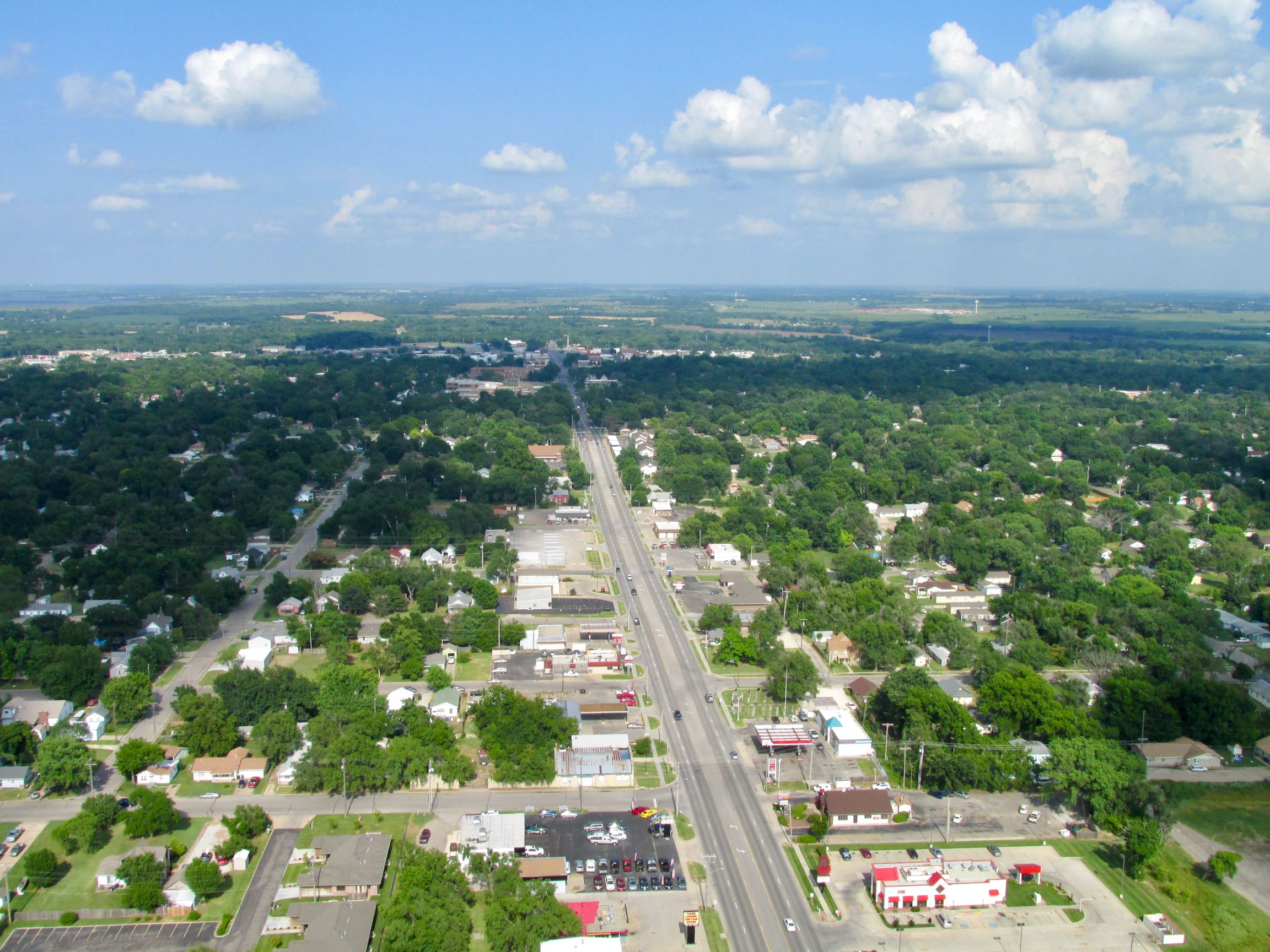
This Sky Safari would follow a roughly triangular path. The flight to the Benton Fly-In was North Northwest of my home field. From there I headed Northeast to the Rockne Memorial. Now I would be crossing new ground as I followed a South Southwest bearing back home. This would take me by some nice Kansas towns I will show you from the air.
NOTE: A huge white cloud structure approaching from the Southwest…
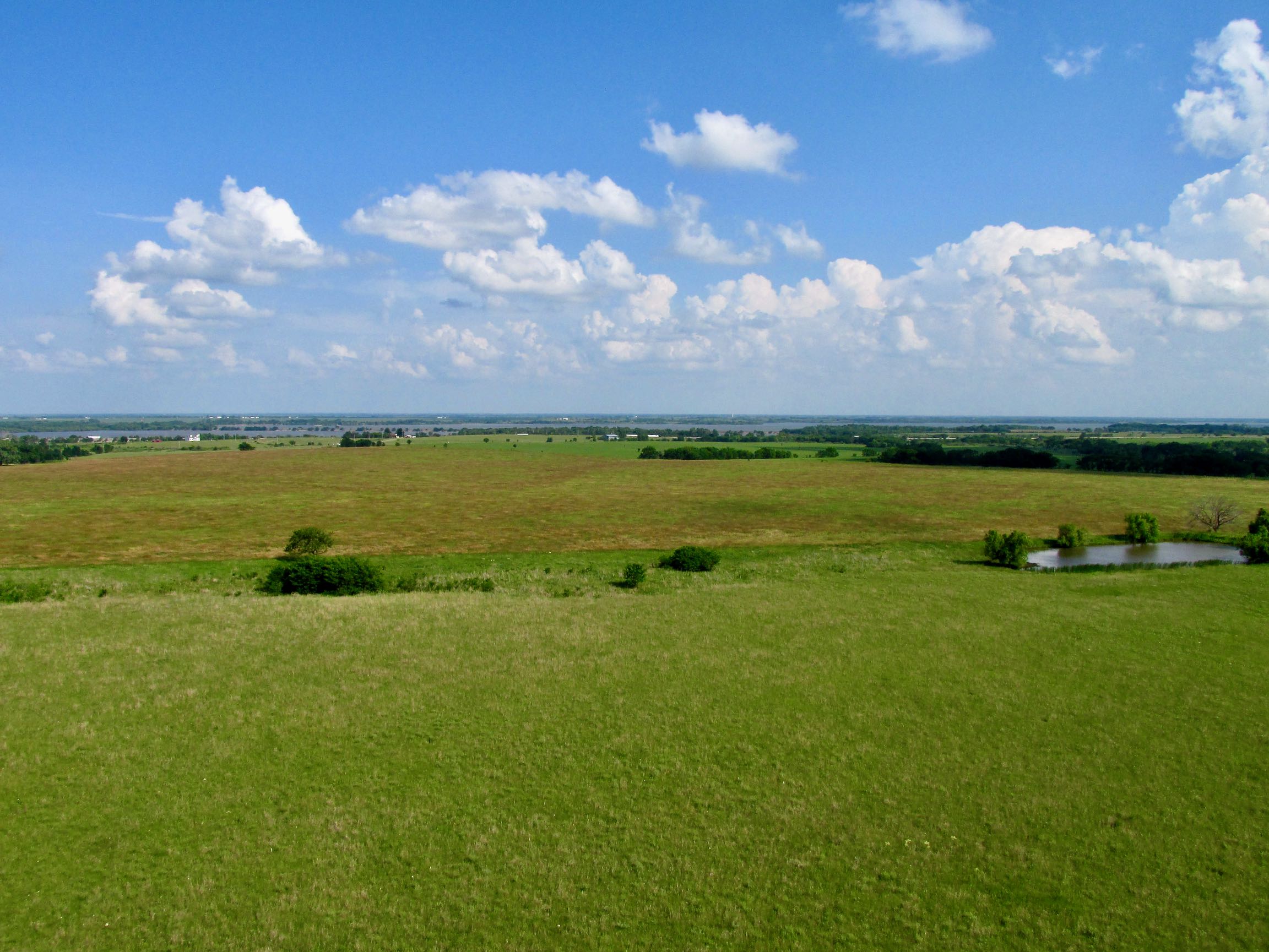
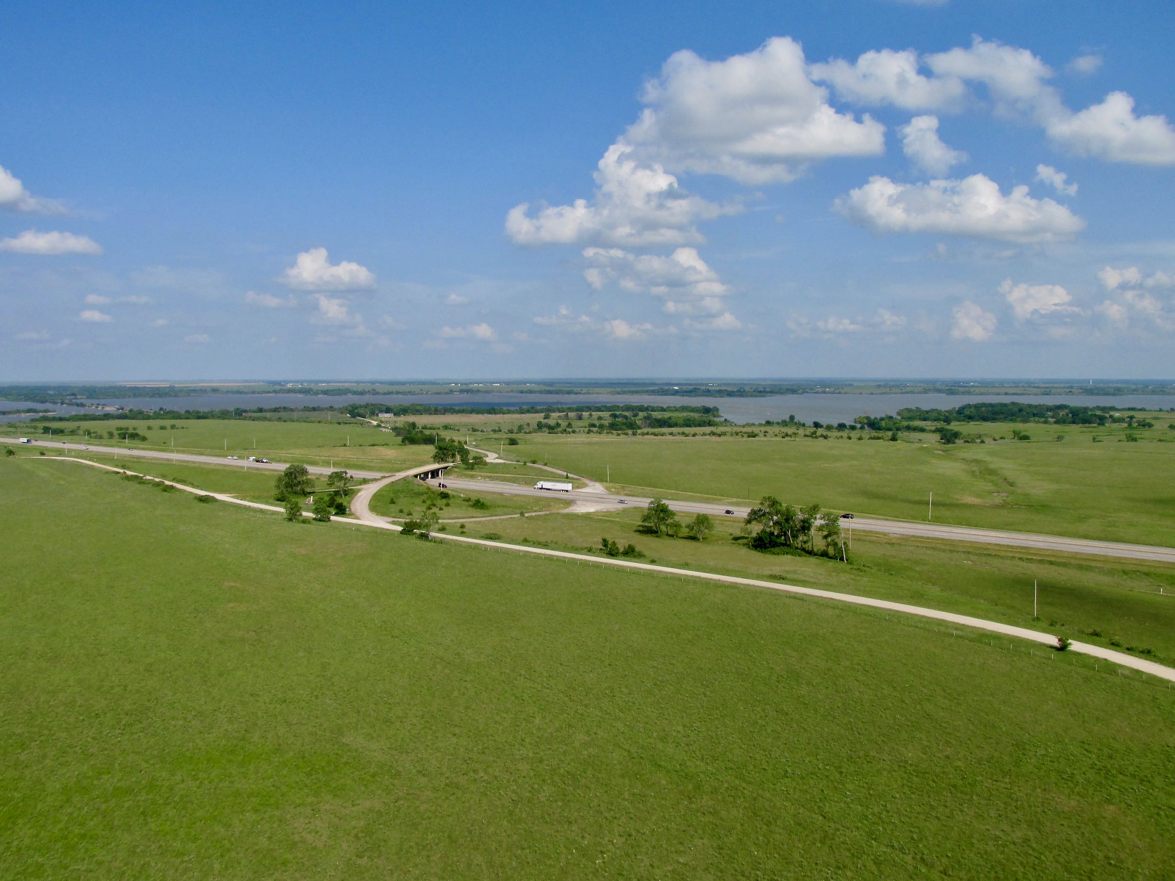
I hope I am not boring you with scenes like the one above. To me, one of the finest things about flying an Ultralight over the Great Plains is the immense beauty of it all. The Great Wide Open. It is my intention to provide you some sense of that.
The other day I was watching a short “aviation video” where a guy tacks a camera somewhere behind his head and shoots it forward. Basically a variation on the “dash cam” mania that Europeans and Japanese people think is interesting.
(NOTE: If you want to see how a proper Point of View Ultralight movie looks, GO HERE)
Anyway, the flight was over Long Island New York and I was sad for him. The view below was houses, roads and parking lots. His flyover scenery was diametrically opposed to mine. I’ll take mine any day.
El Dorado
Before I moved to Kansas, El Dorado was the mythical golden city in Central or South America. The promotion of this myth in Spain contributed hugely to their incursions throughout those areas in search of gold. Even though they never found El Dorado, they did bring immense quantities of gold back to Europe from that region.
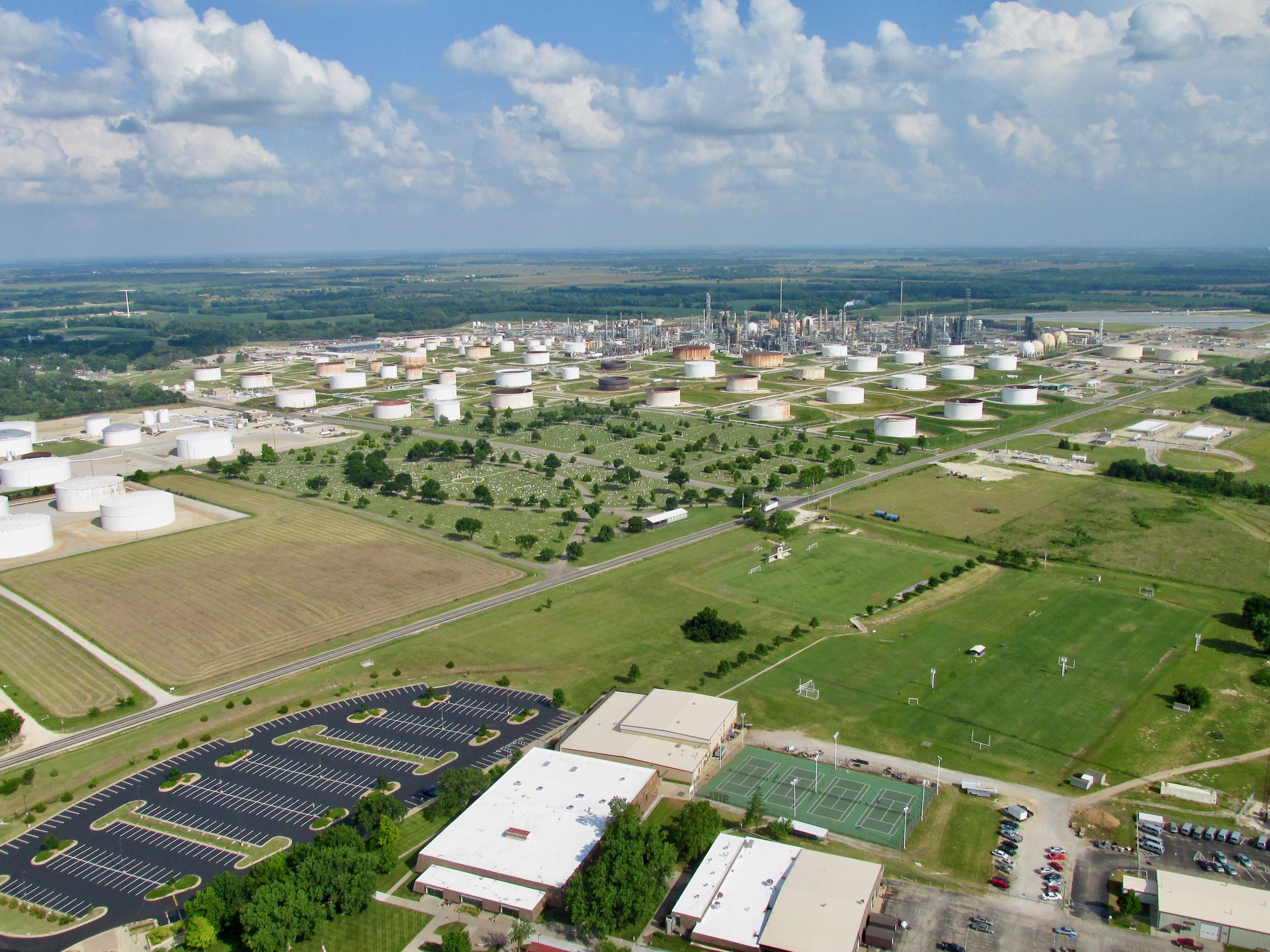
Once I moved to Kansas, I was bemused to discover another El Dorado but one that was pronounced “El Doe-RAY-doe”. It took me some years to come around but now that is the way I pronounce it, too. Although El Dorado (Golden Land), Kansas was incorporated back in 1870, it wasn’t until 1915 that the “gold” was discovered in the form of the most prolific oil field in the world at that time. Some called it the oil field that won the First World War.
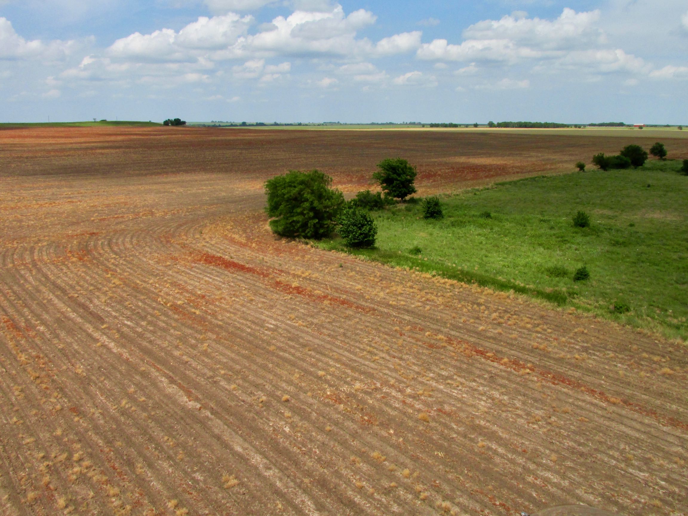
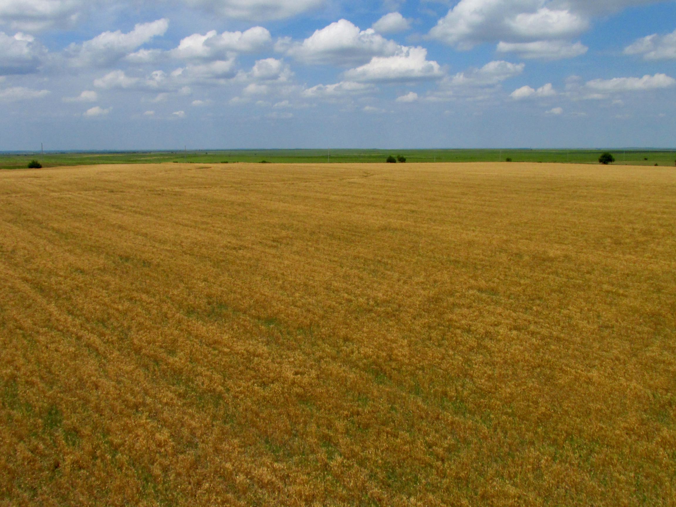
Anyway, I said earlier I would be taking a different path home and El Do is on that route. So, here are some aerials of this interesting place.
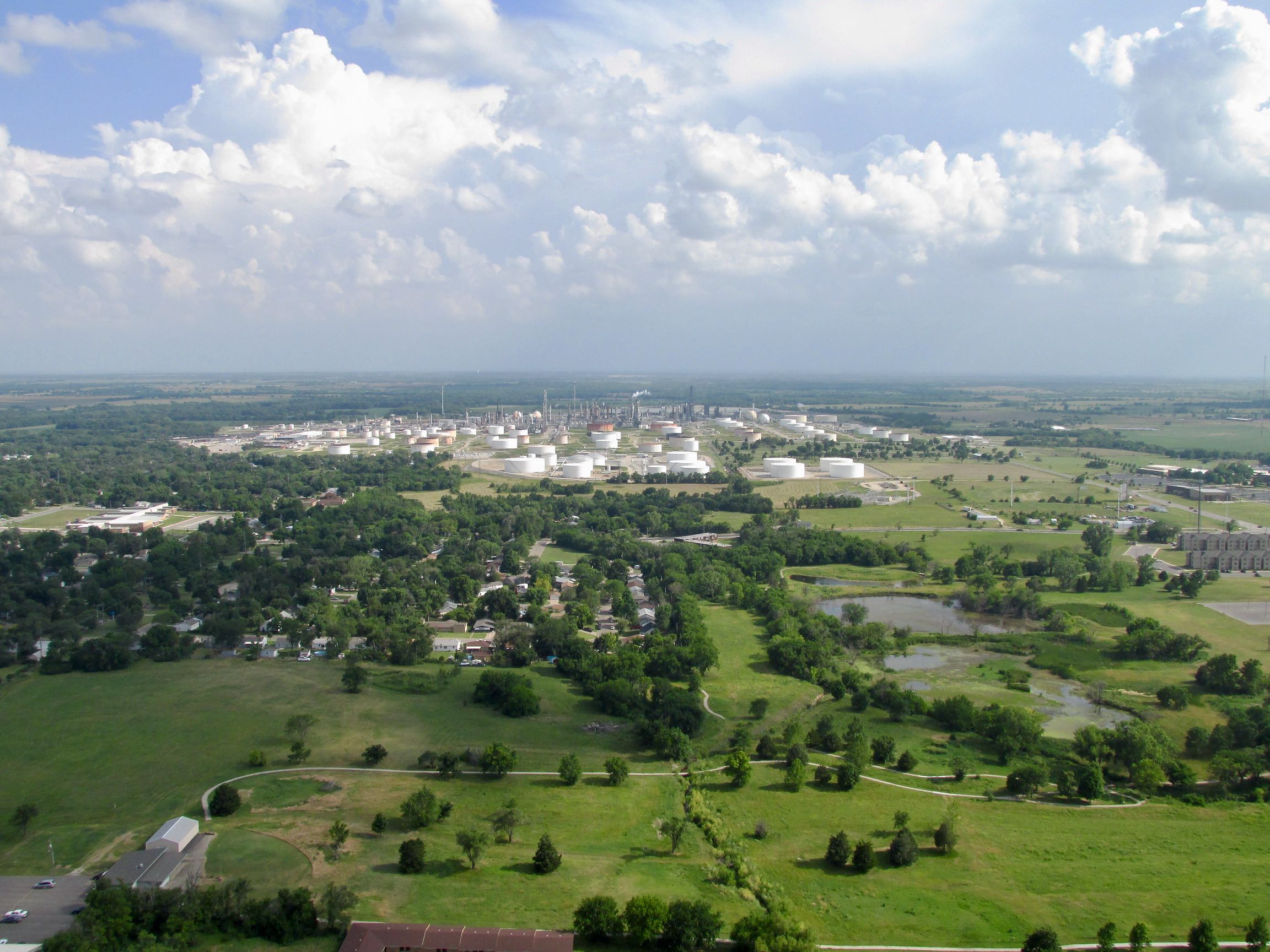
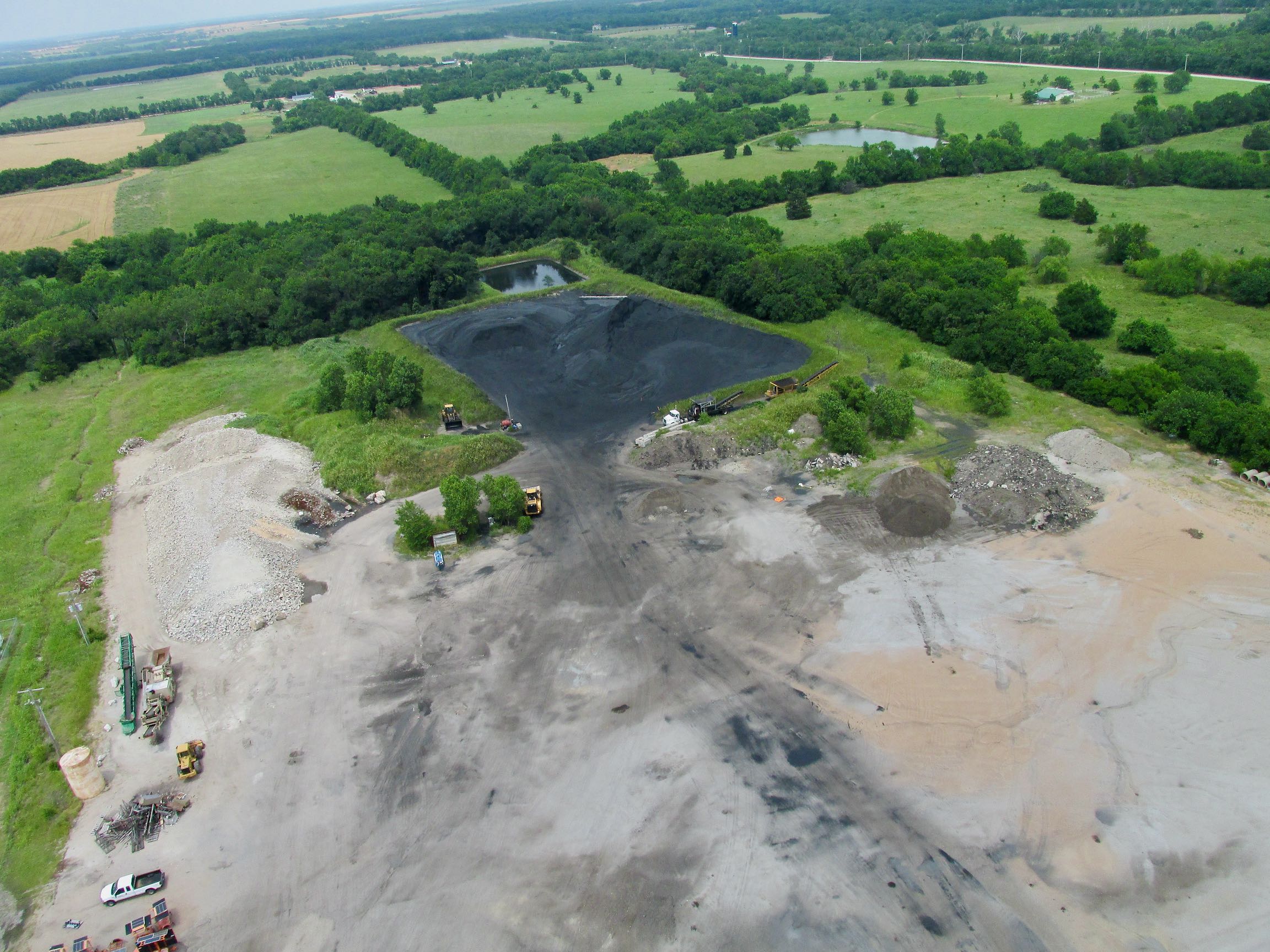
I was doing some video work for a fire protection company that was applying ablative coatings at The El Dorado Refinery some years ago. It was extremely interesting to me to get in and see one of these facilities up close. One thing I was not expecting was the noise level. There are places in there that you have to wear earmuffs to keep from damaging your hearing. I also learned that there are many things made in a refinery that have nothing to do with gasoline and that it is a highly competitive industry.
Big Changes Can Happen Fast Out Here
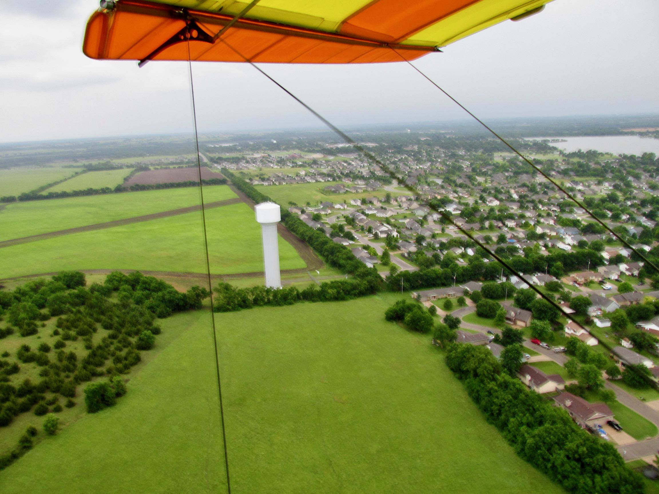
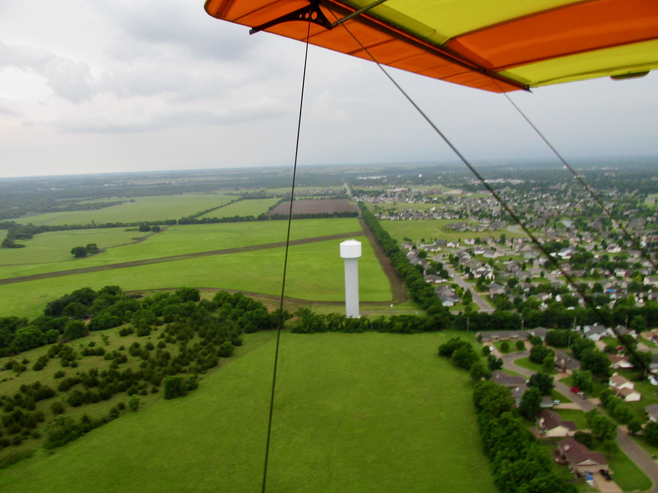
An app I depend on for regional weather is MyRadar. It gives animated Doppler motion studies of storm cells and wind speeds. With it, I can predict weather with the best of them. This day, though, my phone battery had gone dead even before leaving the Benton Fly-In. Ergo: No Radar. Since then, I have made it a SOP to carry a phone charger with me on Sky Safaris. But, that day was the “learn from experience” day. So, without radar warning, just after leaving the general El Dorado area I noticed the Southern sky taking on the ominous look you see below.
Decisions, Decisions…
Due to the rapidly changing meteorology that afternoon, you won’t see any photos for a while. The distance from El Dorado to Augusta is less than 10 miles. Then from Augusta to my hangar about 10 miles. Without the benefit of my Weather Radar app I was trying to determine what direction this (most likely) thunderstorm was heading. Sometimes they will head Easterly. But unfortunately, in South Central Kansas at this time of the year the weather tends to move Northeast. That would be toward my position…
I didn’t have much choice but to continually monitor the storm situation and at the same time get serious about finding a place to land…
As I approached the Northeastern edge of Augusta both of my decisions were made for me nearly at the same moment.
FIRST: Lightning erupted in the darkness ahead. Lightning is bad enough when you are on the ground but in an airborne Ultralight it is God’s way of telling you to LAND NOW.
SECOND: As The Lord would have it, a large open field appeared beneath me with a tree shelter belt on its West side. Adjacent to that was a large housing area. Normally I wouldn’t land so close to houses but this was an exception. I made one low pass to examine the field. It was partially plowed and not optimal but I needed to get down before the storm reached me. I circled back and got my airspeed as low as possible before touchdown. The landing was good.
Once on the ground, I was still about 75 yards from the sheltering tree line. For some reason I was having to run my motor at nearly 100% just to get the plane to taxi across this field. Most of it wasn’t plowed, and my tires were not sinking in, so I couldn’t figure why I was getting so much resistance.
Regardless, after what seemed like forever, I reached the tree line and shut the motor down. After that noisy entrance, I’m thinking a crowd is going to appear from the neighborhood. I had made a racket but surprisingly nobody came out. So, I jumped out of the cockpit and pulled the craft closer to the trees to wait for the storm.
After a bit I hear “How are you doing?” from the other side of the fence from where I am parked. It is Laurie Boston. She happened to be home when I landed and looked out to see what was going on. I briefed her on my situation. Upon hearing that my phone was dead, she volunteered the use of hers. She had a weather program on her phone that indicated the storm would be hitting our position in roughly 10 minutes. She also let me use her phone to call my Wife and let her know what I was doing.
While we were talking, her two dogs started whining at the back door so she let them out. Debra and I also have two dogs so we talked about Man’s Best Friend for a while until the rain started…
I thanked Laurie for her hospitality but decided it would be best for me to stay with the plane in case the winds were to increase. Providentially, it wasn’t that type of storm so I didn’t have to try to hold the upwind wing down. While it did not turn out to be windy, the “down side” of the storm was the torrential rain and continuous lightning it contained.
Initially, there was a lot of vertical rain. This was good because it allowed me to use the wing as an umbrella. The bad part was when the lightning finally lit up. This made me relatively uncomfortable. My Quicksilver has a kingpost that triangulates the tension cables on top of the wing. Being made of steel, it is an excellent conductor of electricity and if you didn’t know what it is, you would assume it is a lightning rod. Then to add to the peril potential, not far from the base of the kingpost/lightning rod is the gas tank.
If I had been stuck where I had landed out in the middle of the field, I would not have stayed under the plane’s wing. As it was, though, I had taller trees next to me and, about 75 yards away, a tall water tower. I was banking on these two items to attract any electricity looking for a ground and thus leave me alone. As it was, only one bolt came down in the field behind me and it was at least a half mile away.
Action Series
When it initially started raining hard I was stuck under the wing, standing in wet grass, unable to sit down. Naturally I’m thinking “story value” and my “photo mind” starts imagining shots. So, I dug out my “Gorilla Hand” tripod and afixed it to a compression strut near the outboard edge of the left wing. I set the camera to knock out 3 shots in a row with 3 second breaks between. What you will see below is a staged first shot and then two more after lightning struck nearby!
Things Begin to Look Up
As the lightning stopped and the rain began to lighten up, I dashed out into the field to look South and see if the front had passed. There was a break in the direction I was heading so I thought I better take the chance to get home bein’s that it was getting late in the afternoon and I didn’t want to leave the plane there all night. It was still sprinkling. Normally I avoid flying in any rain because but it feels like “a thousand BB’s” striking my face and upper body. Too bad. It was time to bite the bullet and run with it.
Revelation
As I performed a preflight to make sure everything was airworthy for takeoff, I made a major discovery. The reason I had such a hard time taxiing across the field earlier was that my nose wheel was flat! When trying to taxi, it wasn’t the soil that was holding me back but a flat tire.
Earlier in the story I talked about people grabbing parts from the Ford Tri-Motor crash scene as souvenirs. I think one of those metal parts found my nose wheel tire and punctured it during the takeoff roll.
As I said earlier about the phone battery, I try to learn from mistakes. Fortunately, I had learned about flat tires away from home due to an incident in Alva, Oklahoma which you can read about HERE. The takeaway is that after taking pictures of the town, I returned to the Alva airport to find one of my main gear tires flat. Ever since that event I carry a can of Green Slime Tire Fill. It works great and did the trick on the nose wheel in no time at all. Problem solved. Ready for takeoff!
Got Me a Break!
As you can see in the photo below, I had some sun shining through the gloom to the South. I revved my Rotax motor up to warp speed. Because the Quicksilver has so much drag, full power yields only about 60 mph. It burns a lot more gas in that mode but I had enough to make it and wanted to get home before any more bad weather might intervene.
Isolated T-Hangar
For the remainder of the flight home I was being peppered with little rain drops. With the max power setting on my motor, the Quicksilver is out of trim and requires constant down force on the stick to keep from climbing. That’s one reason I didn’t take any more pictures. The other issue has yet to be conquered in the camera world – rain on the lens. It makes for bad shots and can damage the lens and/or camera.
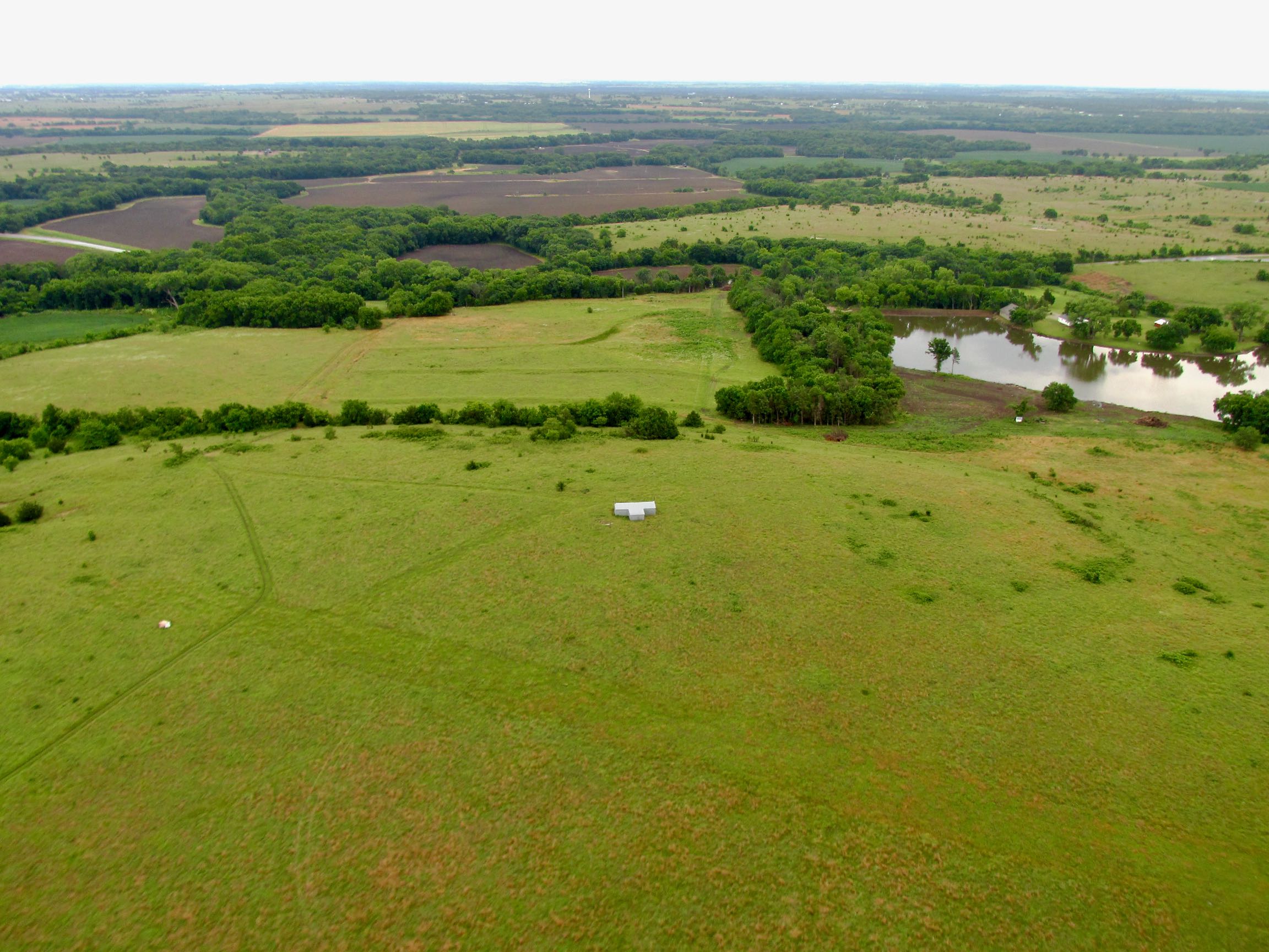
Regardless, I did see an interesting sight under my left wing which you see above. I cut power for a second, shielded the camera with my right hand and snapped off the shot above. A guy has an Airplane T-Hangar out in the middle of the prairie with a nice grass runway near it.
Get In Before It Rains Again
Finally arriving at The Sky Surfer Aerodrome, the rain was starting to intensify. I pulled up to the apron, let the engine cool down a bit and then shut it off. Immediately I opened the doors and brought it in the hangar as the rain intensified.
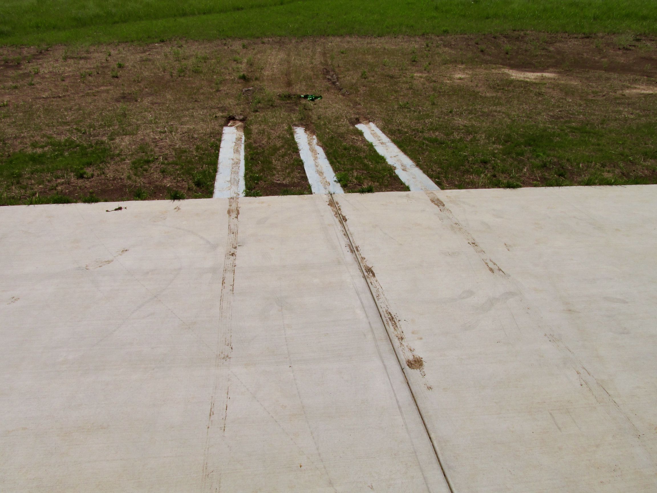
I wish I had a better closing photo but I wasn’t going to stand in a downpour to take a “Quicksilver in the Hangar” shot. I didn’t want to get soaked and did not wish to endanger the camera.
So, in lieu of a “product shot” close, I chose this “arty” picture of my muddy tracks leading into the hangar.
The Rockne Memorial Mission Complete.
Blue Skies & Tailwinds!™
The Sky Surfer – Over and Out!
©2020 Brian FitzGerald – All Rights Reserved
Addendum!
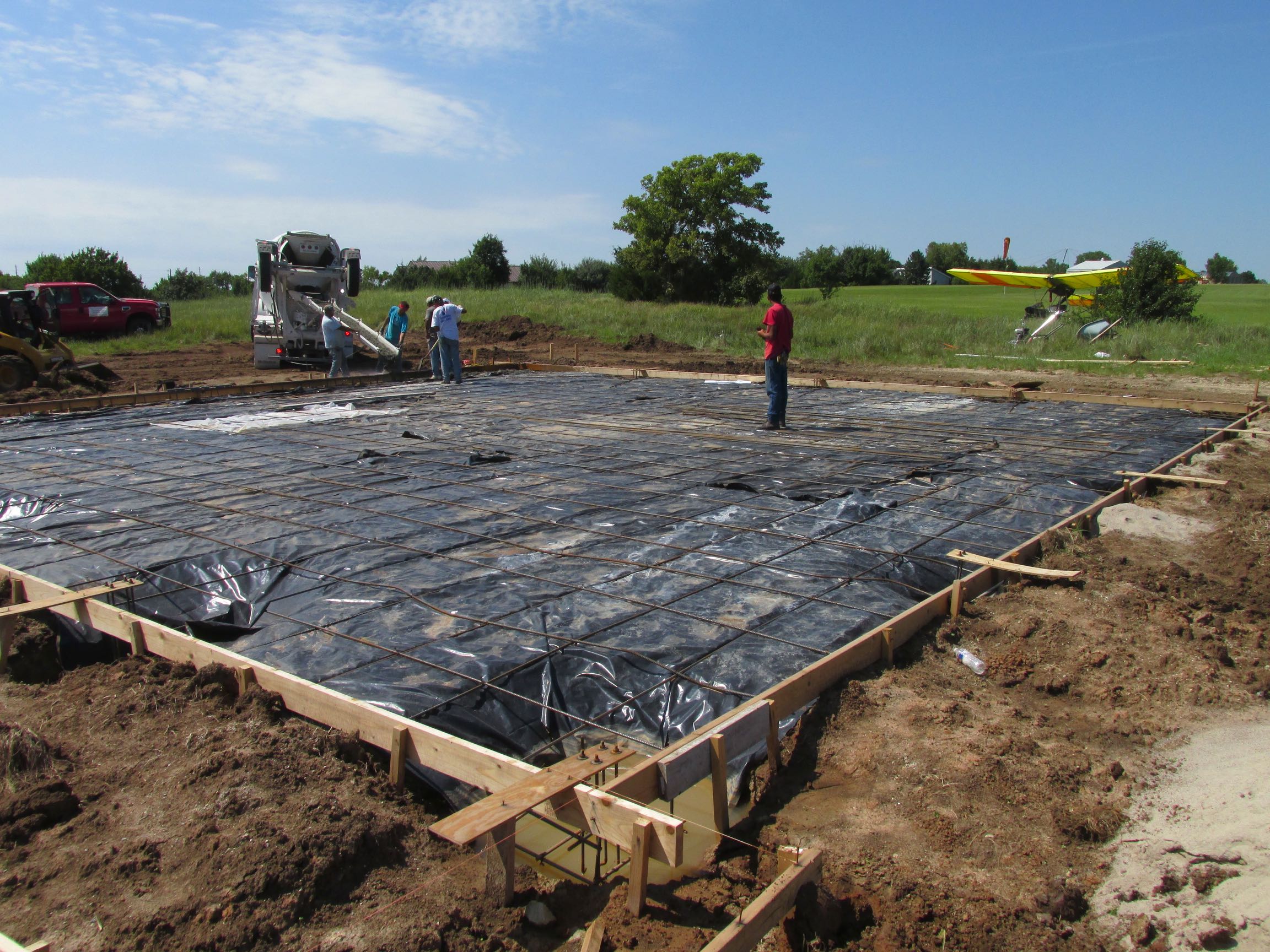
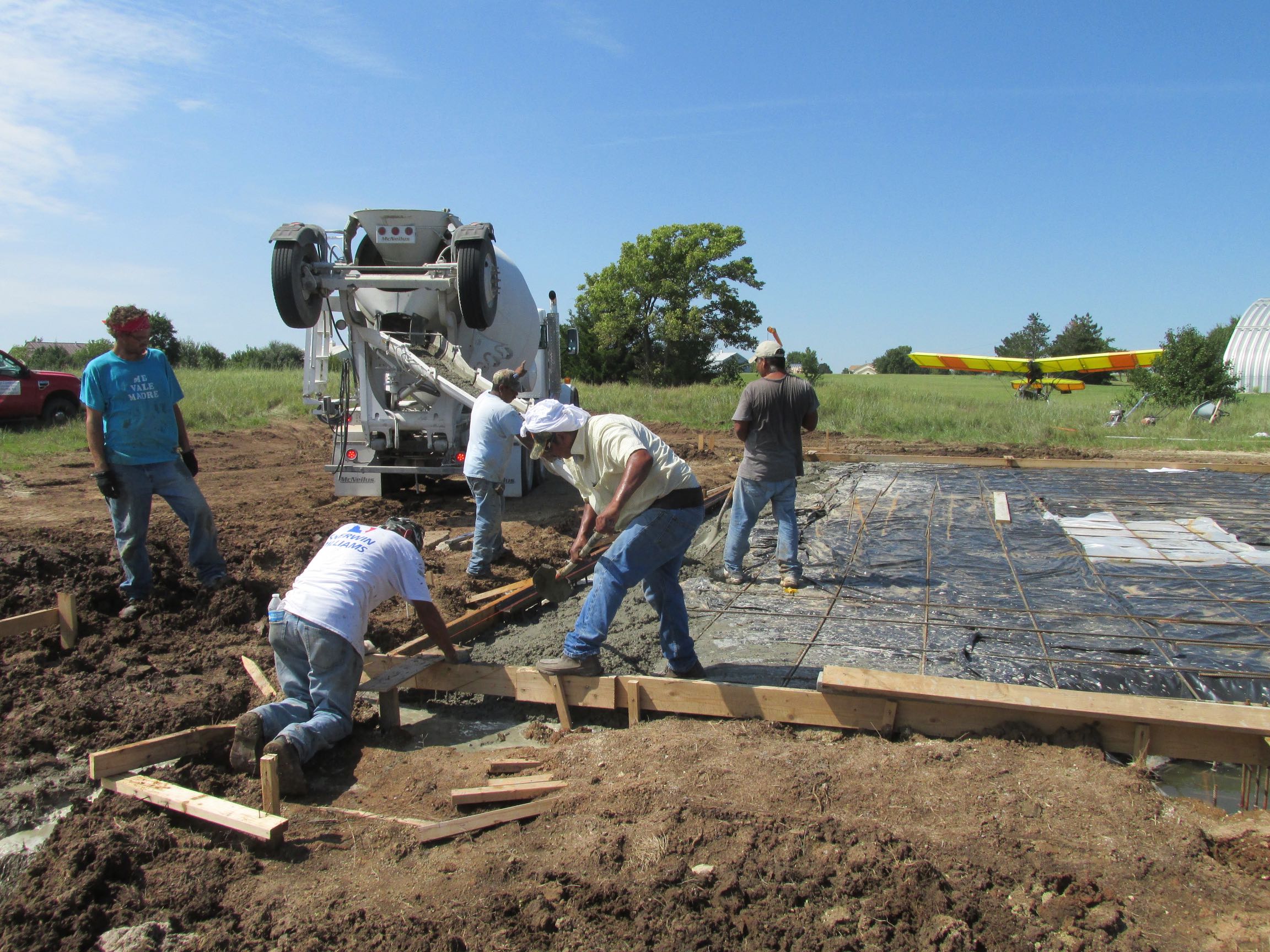
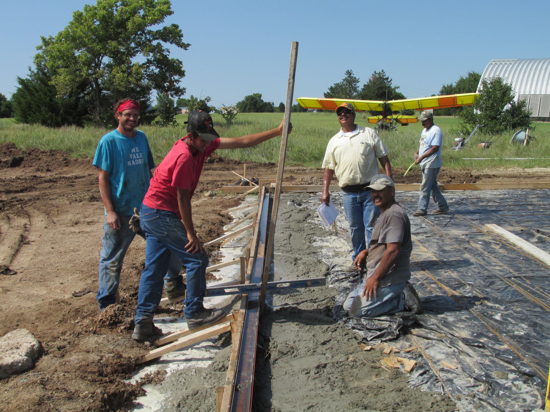
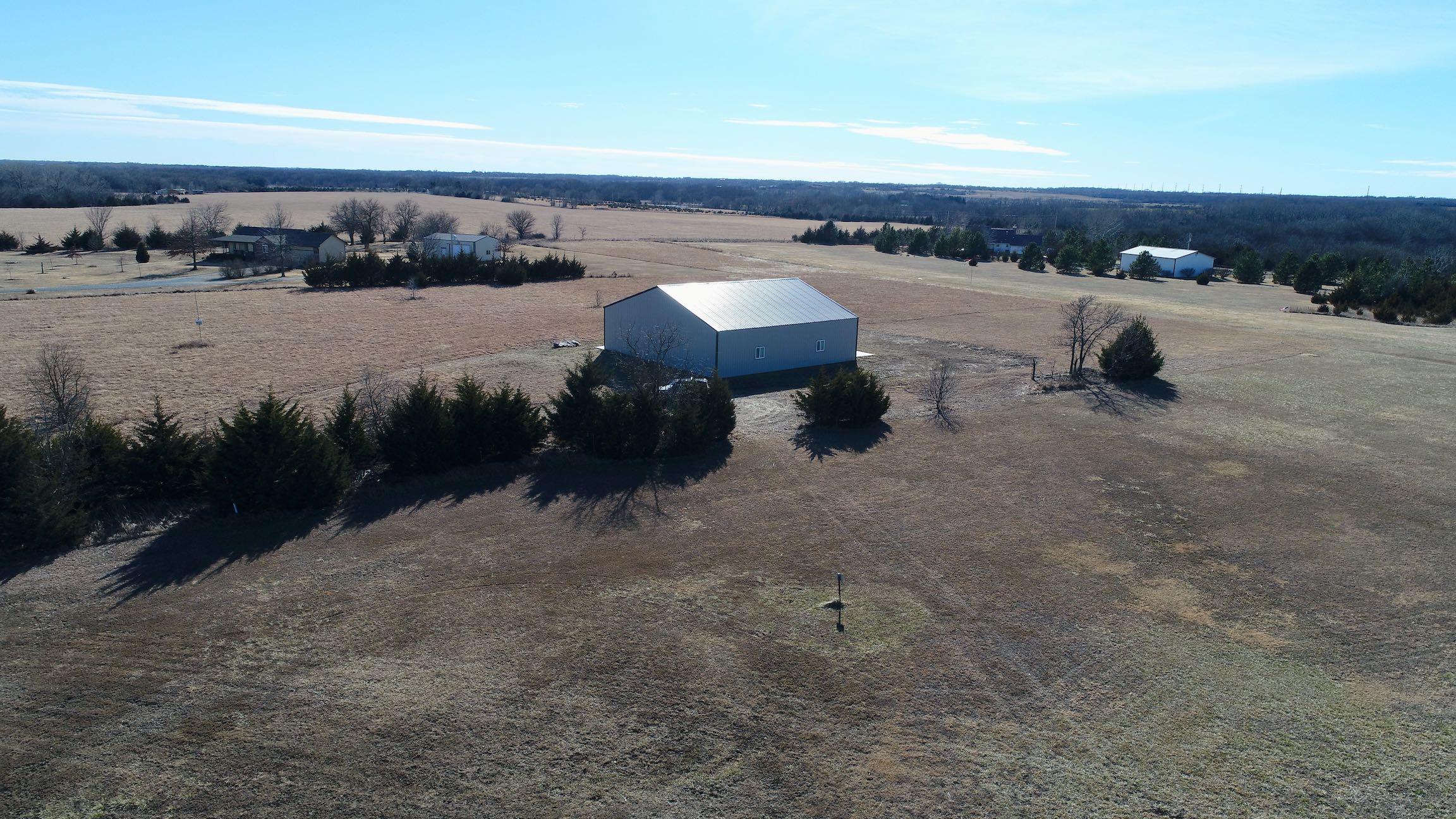
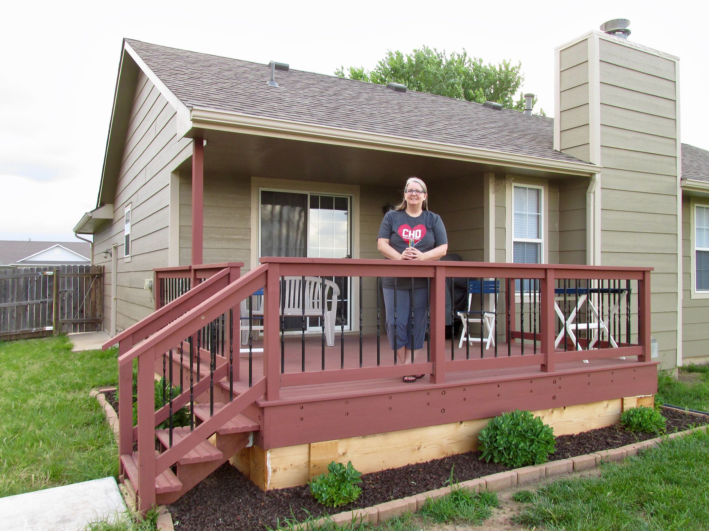
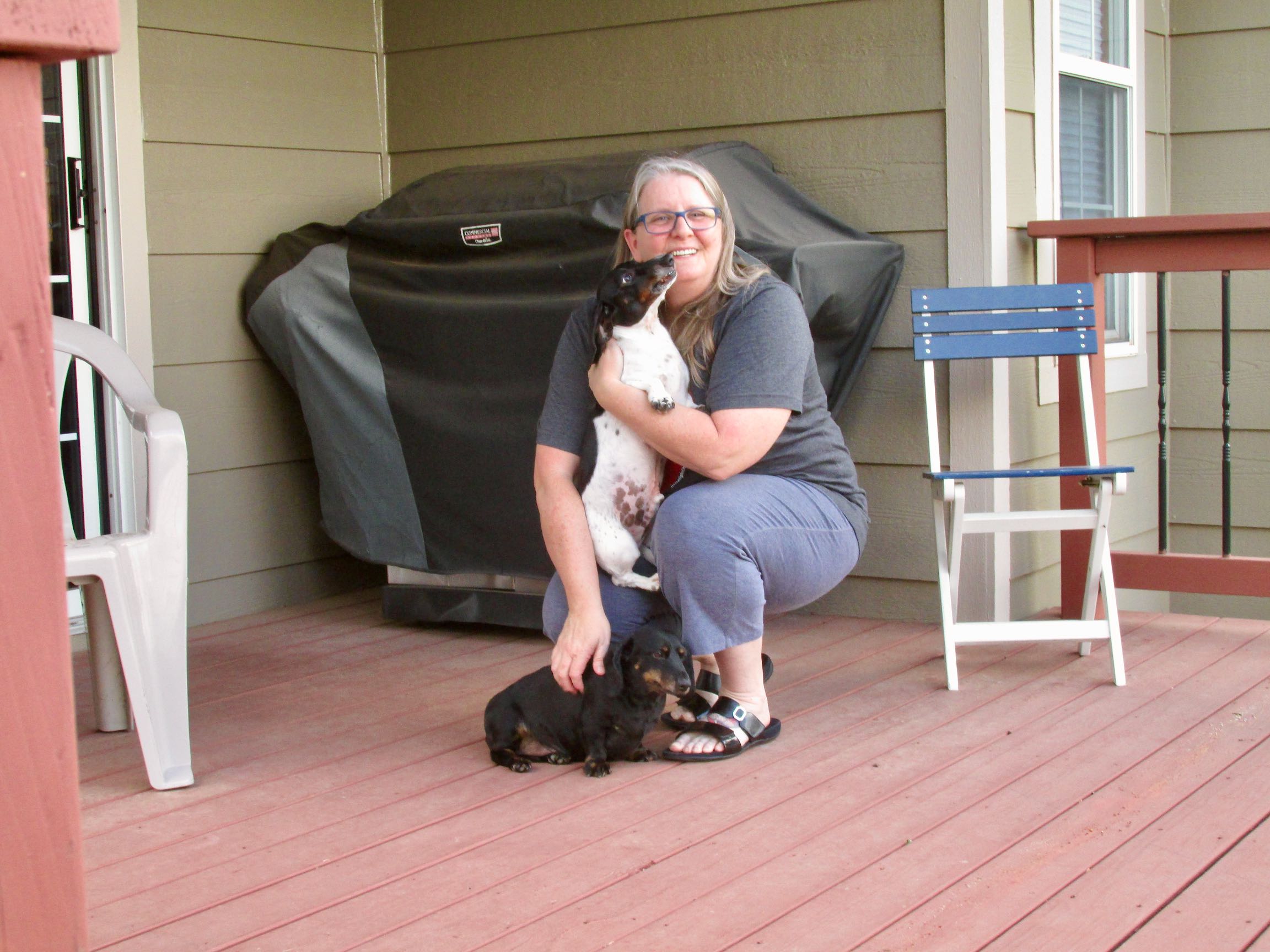
OK. I re-evaluated my story ending and decided the “mud track” shot was just not good enough. So, here are some shots I took while The Sky Surfer Hangar was being built.